Satrianum: A Lucanian Settlement and Medieval Episcopal Stronghold in Italy
Site at a Glance
- Popularity
- Low
- Country
- Italy
- Primary era
- Medieval
- Eras represented
- Iron Age, Medieval
- Civilizations
- Norman
- Site type
- City
On this page15 sections
History
Satrianum is an archaeological hilltop settlement and medieval stronghold near Satriano di Lucania, Italy, occupied from the second millennium BCE until the fifteenth century. The hill first served as a place for seasonal grazing and movement between the Melandro, Basento, and Agri valleys. From the eighth century BCE, it lay within a landscape of more than forty settlements associated with the Lucanians, an ancient people of southern Italy.
Ancient routes and Lucanian communities
Routes and seasonal pastoral activity connected the surrounding communities. A small building near one route has been interpreted as a sanctuary. The settlement declined during the third and second centuries BCE, although the summit remained a landmark and a point of passage.
Early medieval frontier
In late antiquity and the early Middle Ages, people continued to farm and raise livestock on the hill’s terraces, while older routes stayed in use. From the eighth to tenth centuries, Satrianum gained strategic value on routes linking Potenza, the Vallo di Diano, the Gulf of Policastro, and the Agri valley. In the tenth and eleventh centuries, it was reoccupied as part of a chain of ridge-top strongholds along a contested frontier between Lombard rulers and the Byzantine Empire, the eastern continuation of the Roman Empire. Its visual links to strongholds at Tito, Picerno, and Brienza suggest that it may have served as a military relay or observation post. A temporary Greek-rite community has also been proposed, though this interpretation remains debated.
Norman episcopal center
From the late eleventh century, Norman rule transformed Satrianum into a fortified center combining ecclesiastical and seigneurial authority. The Normans were rulers who established power in southern Italy during the Middle Ages. A bull issued by Pope Urban II on 20 July 1098 names the Diocese of Satriano among the suffragan sees of the Archdiocese of Conza. A suffragan diocese is subordinate to an archdiocese in the church hierarchy. Bishops named John are associated with the see, including one recorded in 1135, while Peter attended the Third Lateran Council in 1179.
The bishopric gave Satrianum religious and legal authority over the surrounding area. The summit became a regional center for defense, administration, and worship, while settlements on the slopes were arranged in relation to the fortified core.
Swabian and Angevin rule
Under Frederick II and his successors of the Swabian Hohenstaufen dynasty, Satrianum belonged to a system of elevated centers used to oversee valleys and military routes. Its position linked Potenza and Brienza with the Agri valley. In the thirteenth and fourteenth centuries, the cathedral was restored, the cemetery around it expanded, and settlement on the slopes grew denser. During the Angevin period that followed Swabian rule in southern Italy, Satrianum remained centered on its bishopric. Bishops from the Cistercian, Franciscan, and Dominican orders held the see.
Satrianum may have been destroyed and rebuilt under Charles of Anjou. It later passed to Giovanni de Anches and then to the Sforza, an Italian ruling family. A tradition recorded by the historian Giacomo Racioppi attributes the settlement’s destruction in 1430 to Joan II, ruler of the Kingdom of Naples, during feudal conflict; the attribution is disputed.
Abandonment and archaeological research
The earthquake of 1456 contributed to the end of occupation, and the bishop’s residence moved to Sant’Angelo Le Fratte. The fortified settlement was abandoned during the fifteenth century and was unoccupied by 1477. Some inhabitants fled to Pietrafesa, now Satriano di Lucania; the community adopted the name Satriano in 1887. The Diocese of Satriano was joined on equal terms with the Diocese of Campagna in 1525 and suppressed in 1818. Since 1968, Satrianum has remained a titular see, an ecclesiastical title no longer associated with an active residential diocese.
Archaeological investigations began in 1966–67, when a Brown University team led by Robert Ross Holloway distinguished an upper city, or acropolis, from a lower settlement and identified several burial grounds. Excavations in 1987–88 found a sanctuary on the southwestern slope. Since 2006, the University of Basilicata has carried out annual work directed by Francesca Sogliani and Brunella Gargiulo, using excavation by layers, geophysical surveys, three-dimensional recording, environmental studies, and analysis of human remains. Teams from Rennes 2 University joined the excavation and recording work in 2022.
Remains
Hilltop landscape and ancient sanctuary
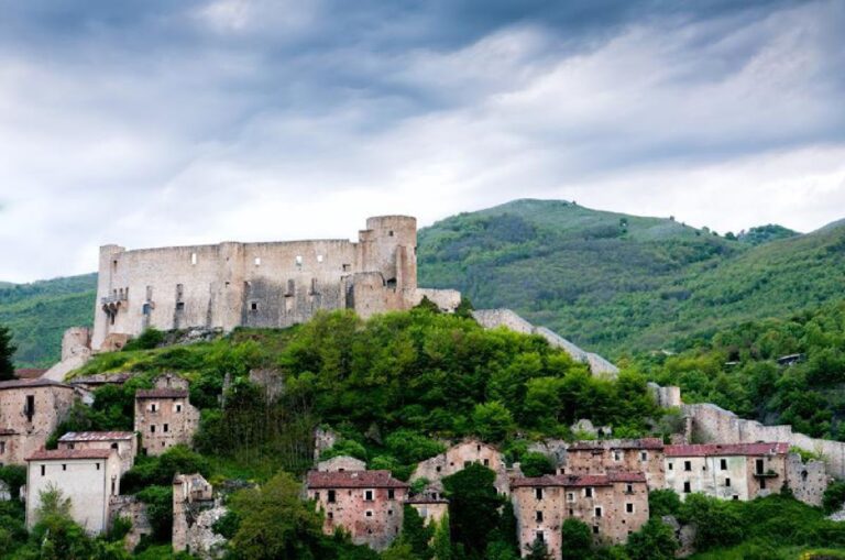
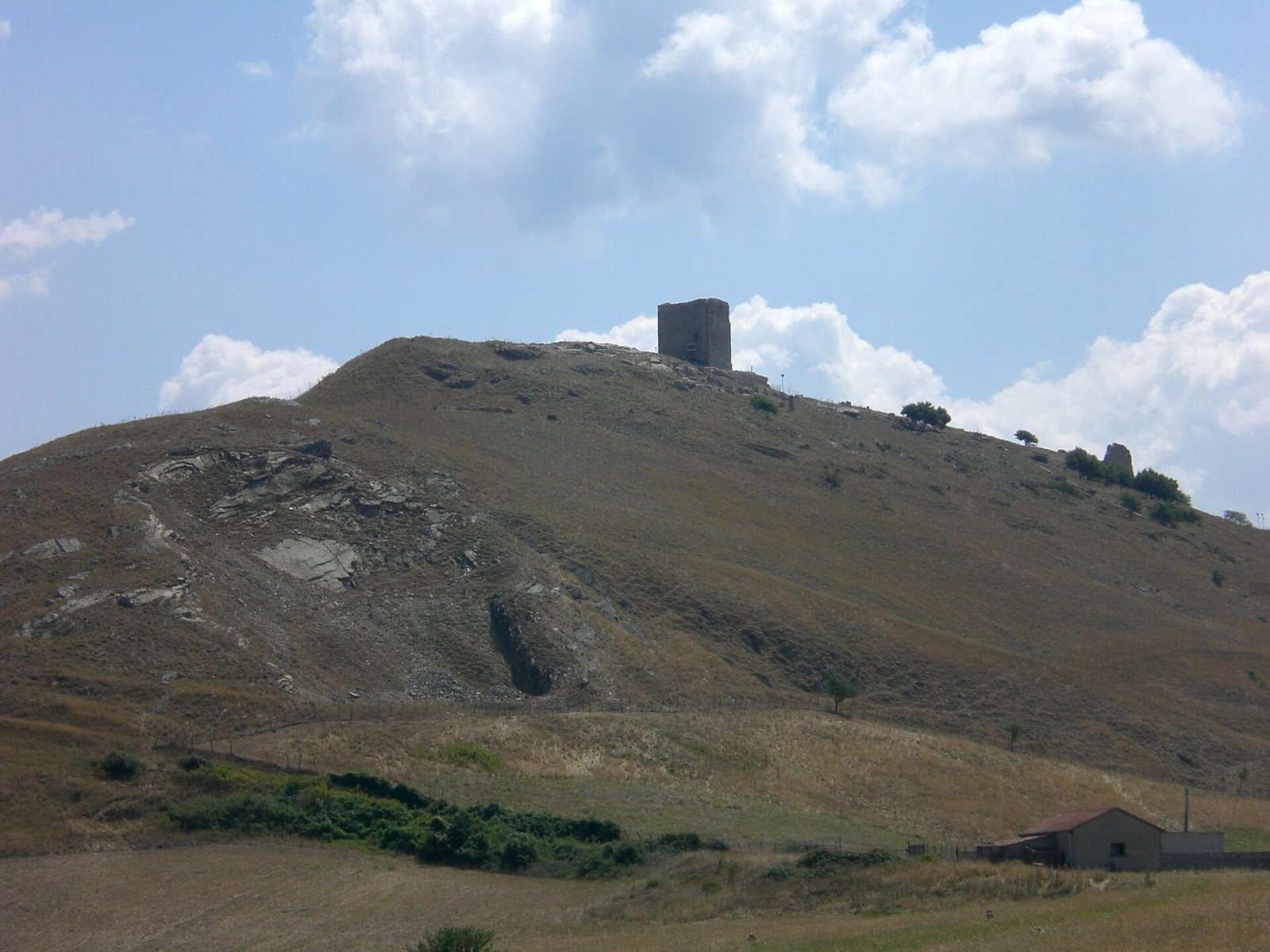
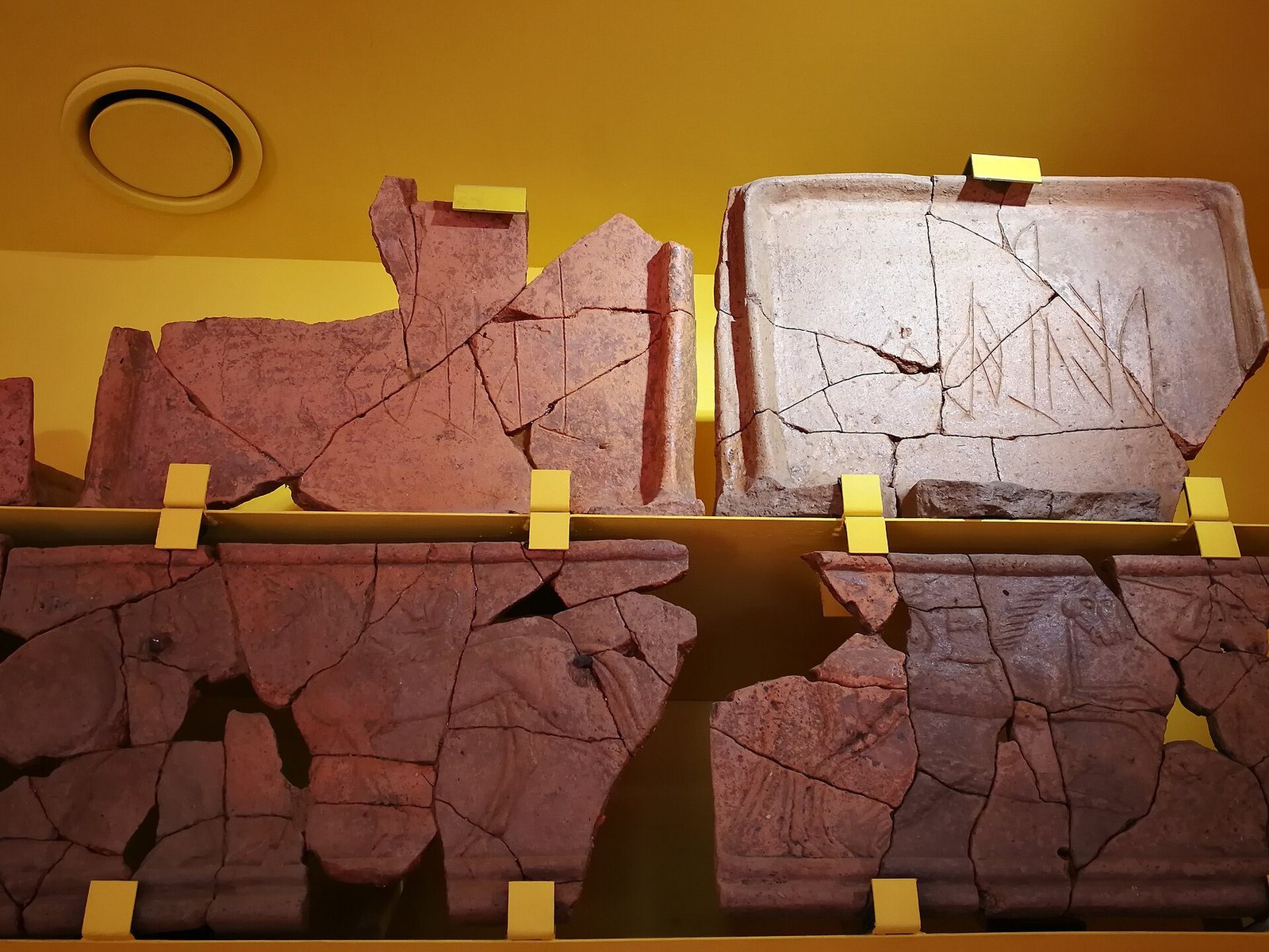
Satrianum occupies a hilltop at about 1,000 metres above sea level between present-day Tito and Satriano di Lucania. It overlooks the Melandro, Noce, Agri, and Basento valleys and routes toward the Tyrrhenian, Ionian, and Adriatic seas. The surrounding landscape included woodland, pasture, and cultivated ground. In antiquity, farms stood across natural terraces, with broad sightlines between neighboring communities. A quadrangular sanctuary on the southwestern slope, near an old livestock route and the travelers’ route known as the Strazzera degli Stranieri, dates from the fourth to the late third century BCE. Its features include a room associated with communal meals, an enclosure for ceremonies, and a portico. Finds from ancient phases of the Torre di Satriano area are displayed at the National Archaeological Museum Dino Adamesteanu in Potenza.
Medieval settlement and acropolis
Acropolis and defenses
The medieval settlement had an upper fortified core and a lower area, with successive defensive enclosures and monumental gates. Residential buildings occupied two settlement areas. The summit brought together defensive, religious, residential, and administrative spaces.
Terraced settlement
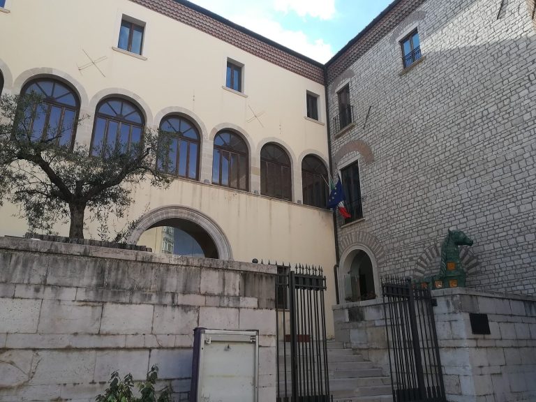
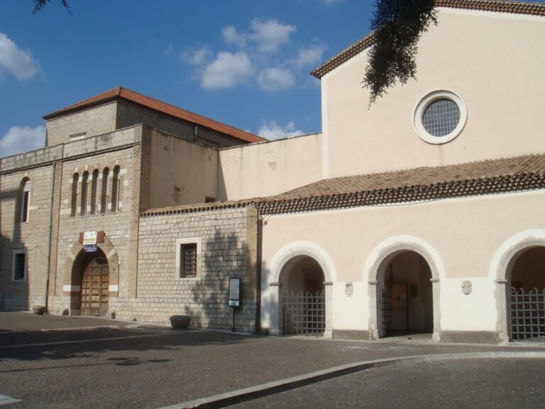
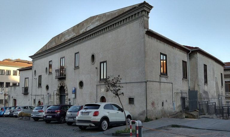
Houses occupied terraces across the hillside. Some stood on natural ground, while others rested on made or altered platforms held by retaining walls. Narrow lanes followed the slope and linked homes with storage and work spaces, hearths, craft installations, and areas associated with small-scale metalworking and food processing. The higher terraces may have housed people of elevated status or activities connected with the bishop’s and lord’s authority; broader lower terraces held a larger population. Some ceramics from the medieval settlement are kept at Palazzo Loreti in Satriano di Lucania.
Medieval tower
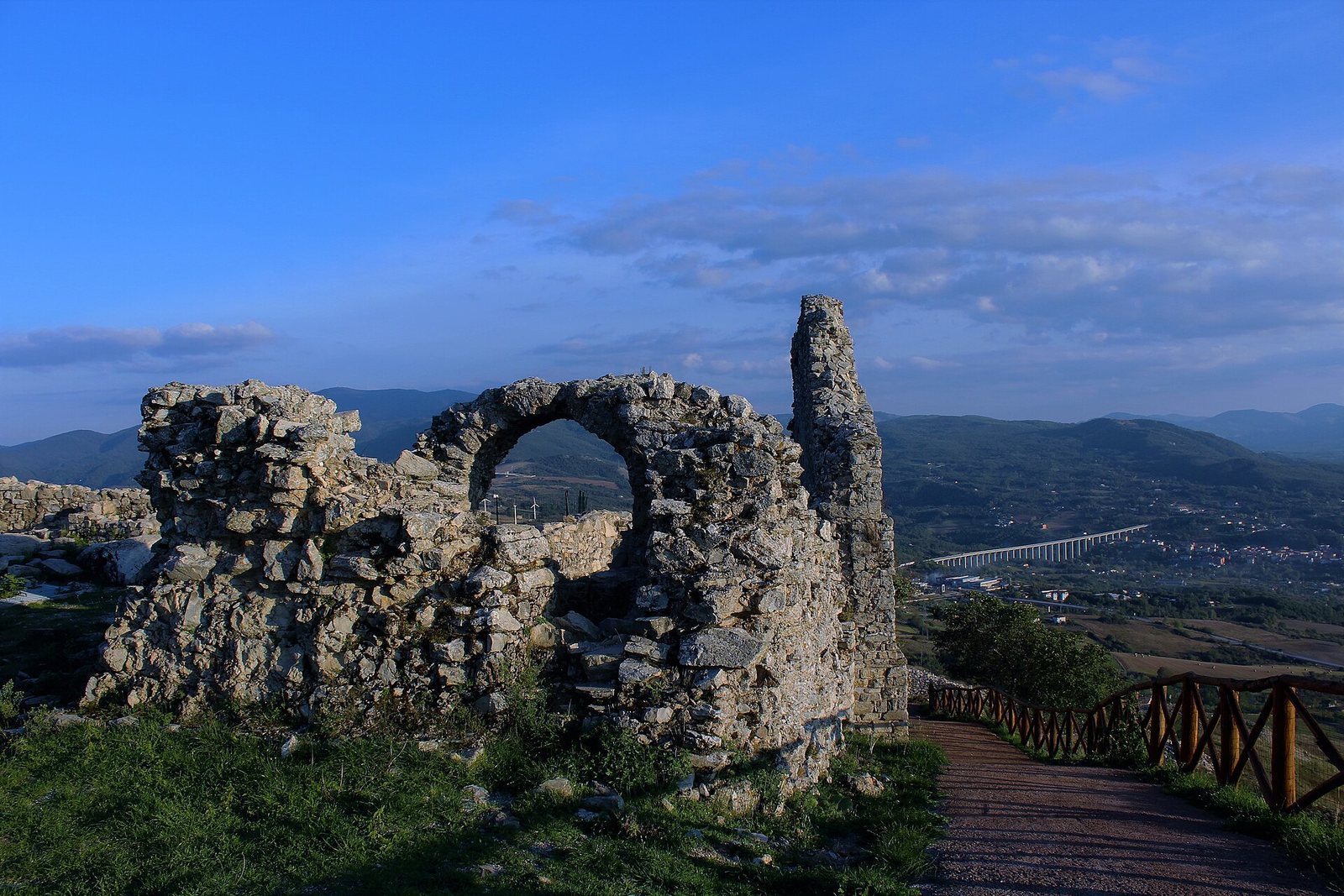
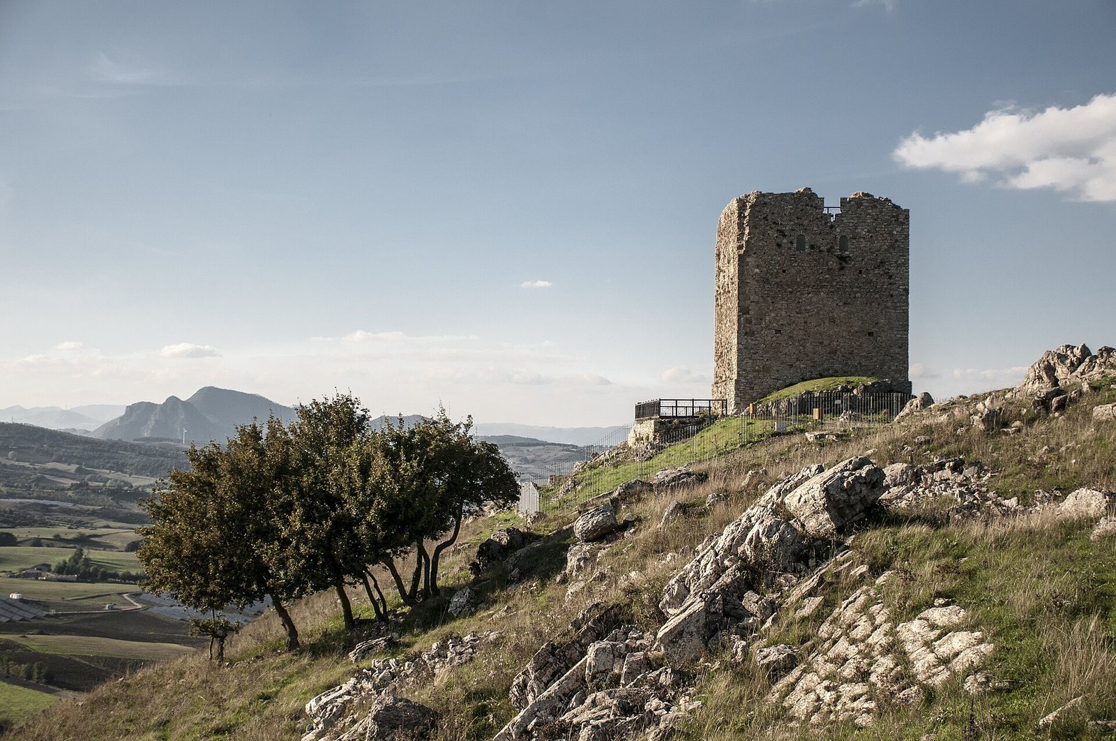
A square tower stands at the hill’s highest point. Its original walls were thick and built from carefully squared blocks on a leveled rock base. Part of the structure survives, though it is now largely ruined. Deposits from its collapse contain plaster fragments, building fittings, and traces of fire. Archaeological layers distinguish an initial Norman phase from later consolidation under Swabian and Angevin rule. The tower now houses a multimedia museum about archaeological research in the region.
Cathedral of Saint Stephen
The cathedral of Saint Stephen the Protomartyr, revered in Christian tradition as its first martyr, stood near the tower. Its first phase, dating to the eleventh and twelfth centuries, had a basilican plan, a long hall divided into three aisles. Two rows of four supports separated the aisles, and the church ended in three apses, or curved sanctuary ends, with liturgical side rooms. Fragments of its molded floor tiles show animals carrying plant forms, winged griffins, birds, fish, and stylized human figures, including a woman with raised arms. Other recorded designs include sirens, eagles, and vegetation. In the thirteenth and fourteenth centuries, workers altered the apse area, raised parts of the floor, and added a bell tower against the church.
Bishop’s residence
Beside the cathedral, the bishop’s residence comprised rooms arranged around an internal courtyard, along with a cistern, a service basin, and domestic spaces. Excavated parts of the complex include service rooms, a stairwell, a latrine, and a communal room interpreted as a chapter room or dining hall.
Cemetery and burials
A cemetery occupied the southern slope of the acropolis. Its arrangement placed burials closest to the cathedral in privileged positions, while more distant graves formed regular rows. Tomb 2, Burial 1, lies directly against the church’s south wall; its position and form suggest a person of elevated or ecclesiastical status. Human remains from the cemetery are well preserved enough to study age, biological sex, activity markers, and some diseases. Preliminary analysis indicates that adults formed most of the sampled population, with arthritis, dental enamel growth defects, and minor traumatic injuries also identified.