Roman Aqueduct of Carhaix: Gallo-Roman Water Supply to Vorgium

Site at a Glance
- Rating
- 3.6
- Popularity
- Very Low
- Country
- France
- Primary era
- Classical
- Eras represented
- Classical
- Civilizations
- Roman
- Site type
- Infrastructure
- Remains
- Aqueduct
On this page8 sections
History
The Roman Aqueduct of Carhaix in France comprised two Gallo-Roman water-supply systems serving Vorgium, the urban settlement associated with present-day Carhaix-Plouguer. The first was built during the second half of the first century, while the second dates from the end of the second century. Together, they brought water from springs and streams southeast of the settlement through channels, conduits, tunnels, and elevated structures designed to maintain a controlled gradient.
The First Aqueduct
The earlier aqueduct carried water from a stream about 11 kilometres away. Its route bypassed irregular ground while maintaining a regular gradient, and it was built partly with wooden conduits joined by iron plates and partly with masonry. At the entrance to Vorgium, a bridge-aqueduct carried the water towards a water tower at the top of the settlement. This elevated section was approximately 1 kilometre long and 14 metres high.
The Second Aqueduct
The later aqueduct began in the territories of the present-day communes of Paule and Glomel and followed a winding route of 27 kilometres to Vorgium. Its route and engineering were examined in detail by the engineer Emile Guyomard, who determined the course scientifically in 1982. He initially considered that the aqueduct crossed the Kerampest valley through an inverted siphon, a system that carries water under pressure through a lower section of terrain, because no bridge-aqueduct had then been identified.
The surviving remains at Carhaix were classified as a historic monument in France in 1862. The classification placed the ruins within the country’s protected historic-monument framework and preserved their association with the ancient water supply of Vorgium.
Remains
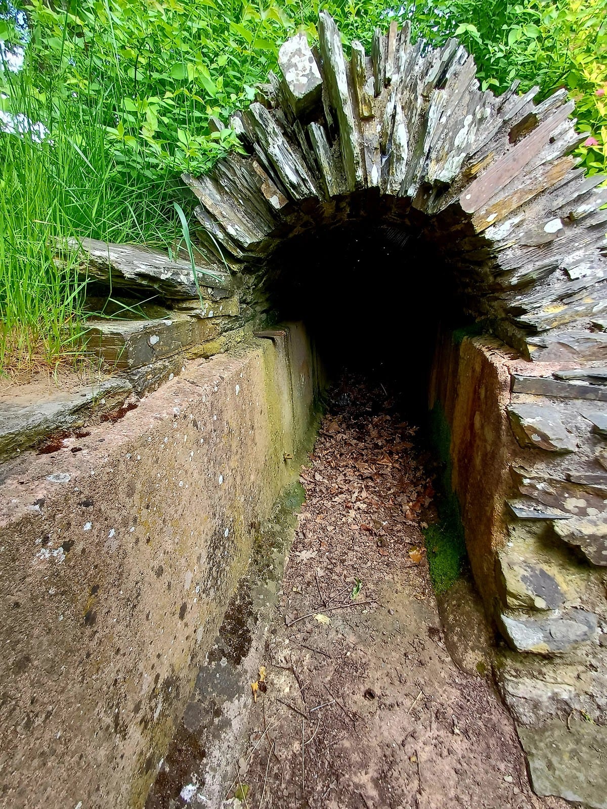
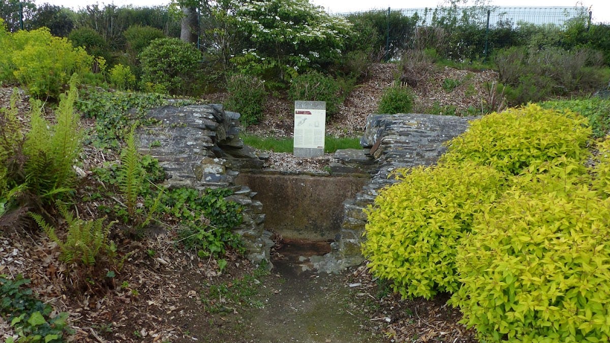
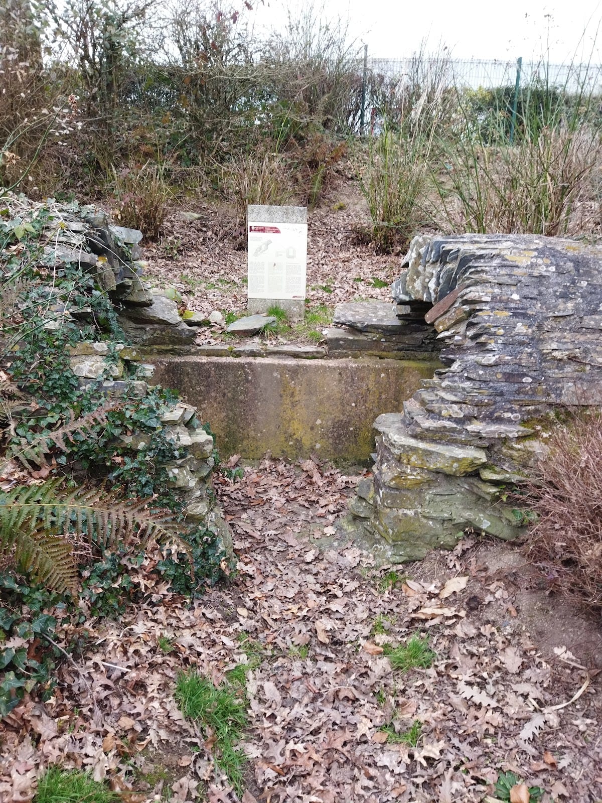
The remains show a long-distance water system adapted to uneven terrain. The two aqueducts drew on numerous springs and streams southeast of Vorgium, then used different combinations of conduits, masonry channels, tunnels, and bridge-aqueducts to keep water moving along a controlled gradient. The surviving fabric at Carhaix-Plouguer is ruinous and is found in the Villeneuve activity area and along Rue de l’Aqueduc-Romain.
Aqueduct Routes and Engineering Works
First Aqueduct
The first aqueduct combined wooden conduits, fixed with iron plates, and masonry sections. Near Vorgium, its approximately 1-kilometre bridge-aqueduct rose about 14 metres above the ground and carried water to a water tower positioned in the upper part of the settlement. This elevated structure formed the final approach of the earlier system.
Second Aqueduct
The second aqueduct followed a sinuous 27-kilometre course with an average gradient of 0.27 metres per kilometre. Its works included a tunnel approximately 0.9 kilometres long near Kervoaguel at Le Moustoir and a bridge-aqueduct of similar length near Kerampest. The Kerampest structure was about 13 metres high, providing an elevated crossing of the valley.
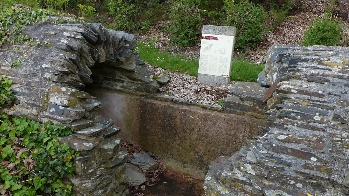
Surviving Sections
Ruined sections survive in the Villeneuve activity area and along Rue de l’Aqueduc-Romain in Carhaix-Plouguer. These remains form the visible archaeological evidence of the two aqueducts that supplied Vorgium during the Roman period.