Aqueduct of Los Arcos: A Renaissance Water-Supply System in Teruel
Site at a Glance
- Rating
- 4.4
- Popularity
- Low
- Country
- Spain
- Primary era
- Early Modern
- Eras represented
- Early Modern, Modern
- Civilizations
- Crown of Aragon, Spanish
- Site type
- Infrastructure
- Remains
- Aqueduct
On this page8 sections
History
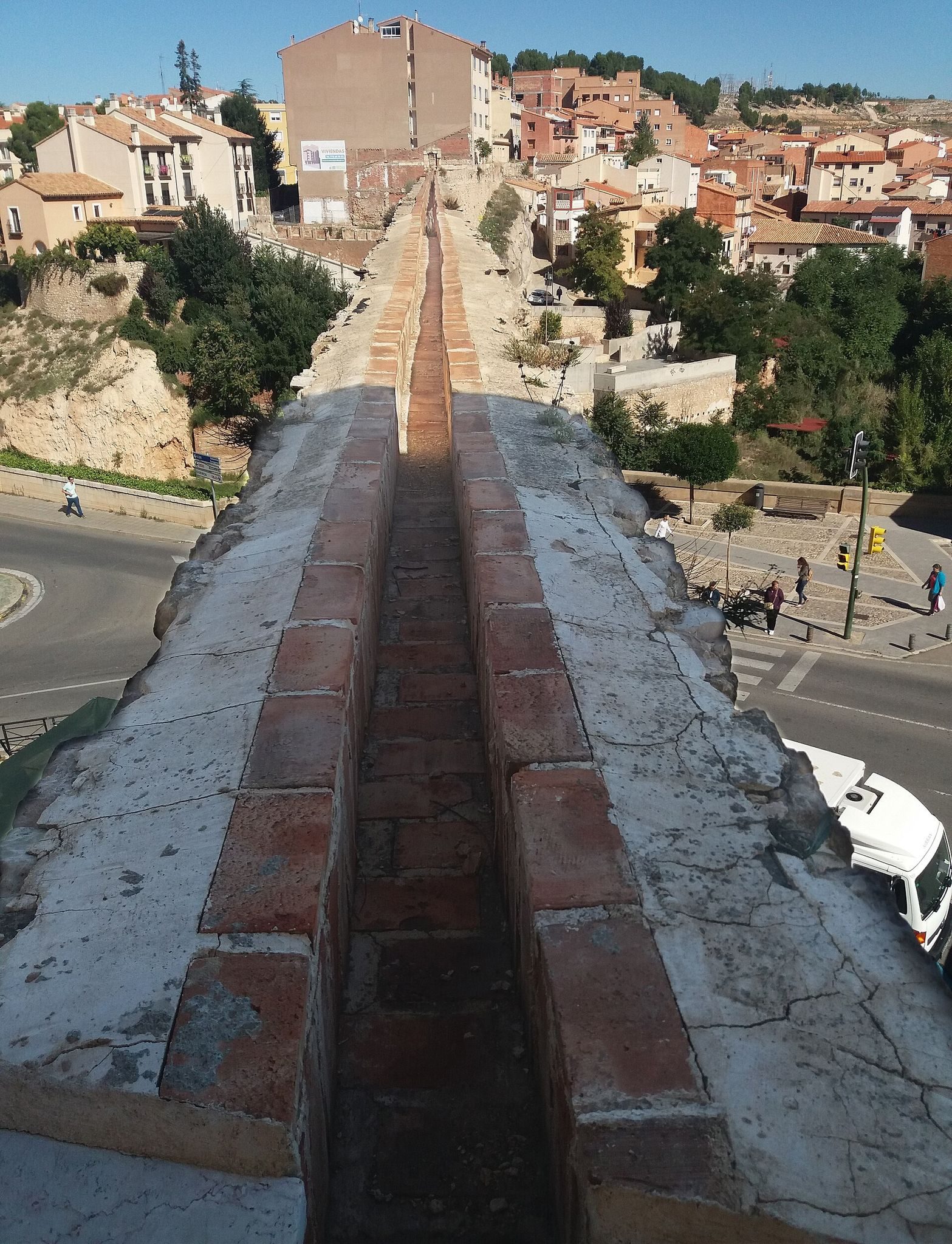
The Aqueduct of Los Arcos is a sixteenth-century Renaissance water-supply and viaduct system in Teruel, Spain, built to improve the city’s access to water. Its construction began in 1537 to carry water from the Peña del Macho spring, approximately halfway between Teruel and Valdecebro. The prominent arched section in the city centre, completed in 1554, gives the wider Water Conveyance its name.
Before and during construction
Before the project began, Teruel depended mainly on large cisterns, constructed reservoirs for storing water, built during the last quarter of the fourteenth century in what is now Carlos Castel Square. Smaller wells and cisterns elsewhere in the urban area supplemented this supply. The first attempt to bring spring water into the city was abandoned because its cost was too high.
In 1551, Teruel’s municipal council commissioned Quinto Pierres Vedel, an architect of French origin, to resume the work. Vedel had previously completed the difficult structural underpinning of the Mudéjar tower of San Martín. Mudéjar architecture combines Islamic and Christian forms and techniques that developed in medieval and early modern Iberia. By 1552, the section between Peña del Macho and El Carrel was complete. Los Arcos followed in 1554, and water reached the fountain in the Main Square in 1558.
Expansion of the water network
After 1554, three more fountains were connected at the request of Hernando de Aragón, archbishop of Zaragoza. Their construction formed part of the compensation required when the period for collecting a contribution imposed on Teruel’s clergy was extended. The urban network later grew to supply 14 water points, while a branch carried water to the Arrabal district. Little information survives about that section.
Two fountains built in 1559 were moved in 1566 because they caused dampness in the churches of San Martín and Santiago. The expense of construction also resulted in new municipal taxes, which remained in force at least until 1585. A general inspection in 1583 produced a detailed description of the Water Conveyance, apart from the Arrabal section. This record provides an important account of the Renaissance waterworks.
Later alteration and protection
The system required continuous maintenance and underwent substantial changes in later centuries. Additional arches, large water chambers, another rural underground passage, and new urban galleries were added. The galleries made it easier to replace ceramic pipes when they became blocked or broke.
In 1866, the ceramic-pipe line between the Mina del Collado and the stone water chamber at the foot of the present water reservoir was replaced with an iron conduit. This work partly changed the route while also contributing to the survival of sections of the original ceramic-pipe system. The aqueduct was seriously damaged during the Battle of Teruel, a major engagement of the Spanish Civil War, when some arches collapsed. It was restored after the war. In 2007, the Aqueduct of Los Arcos was declared an Asset of Cultural Interest in the monument category, giving it formal protection within Spain’s historical heritage.
Remains
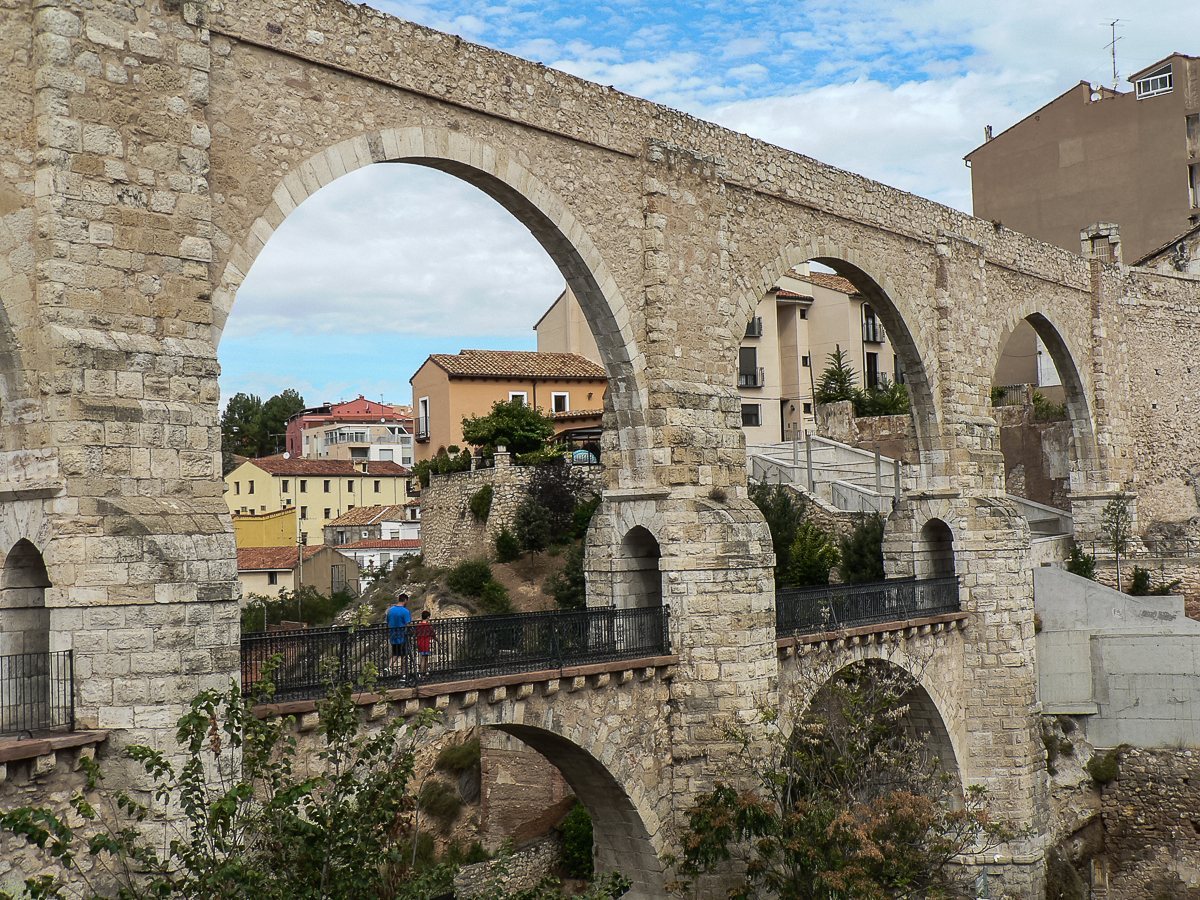
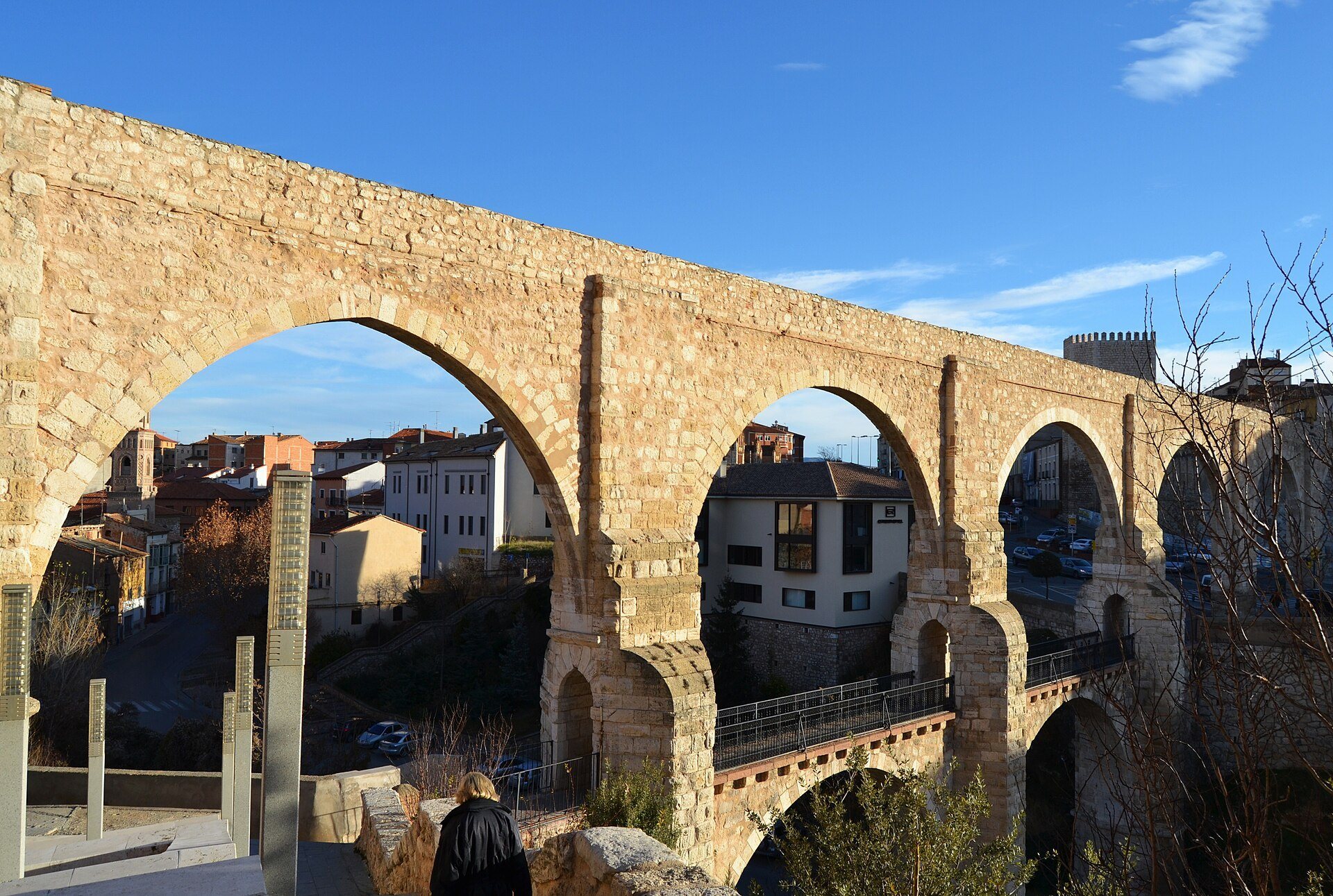
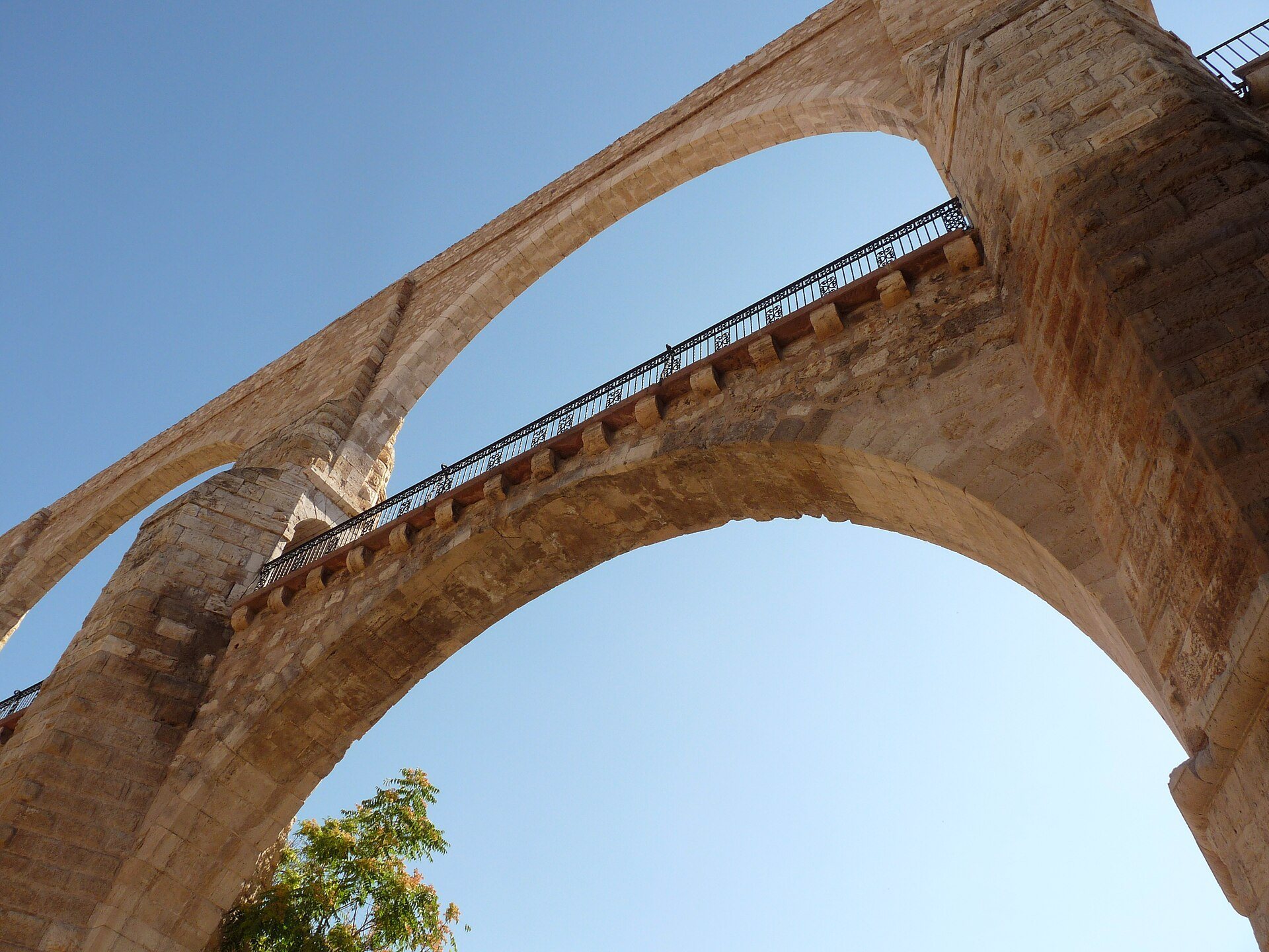
The Water Conveyance extends for several kilometres and combines subterranean conduits with above-ground channels. Arcaded structures carried the route across ravines and valleys, while the central Los Arcos section crosses the major ravine that bounds Teruel to the northeast. Its two levels contain six arches above and two below, creating a structure that served both as an aqueduct and as a viaduct. Its classical inspiration gives this practical infrastructure a formal Renaissance character.
Rural water conveyance
The rural section from Peña del Macho to El Carrel measured 4,450 metres and used approximately 12,000 ceramic water pipes. In historical Spanish terminology, these individual pipe sections are called arcaduces. The route included 140 water chambers and two underground passages, or mines, with a combined length of about 190 metres. Here, a mine means a subterranean water conduit rather than a site for extracting minerals. The rural route also crossed two ravines on arcades. Two additional arches and another underground passage were later introduced at three difficult points.
Urban distribution system
The urban distribution section was nearly 2,500 metres long and incorporated approximately 6,500 ceramic pipes. It contained one underground passage, seven large water chambers, some of considerable size, and 40 smaller underground chambers. New urban galleries later supported the replacement of damaged or blocked pipes. Archaeological evidence has also identified small subsidiary branches and additional water intakes linked to the main urban network.
Collector galleries and surviving conduits
More than 900 metres of underground collector galleries formed part of the wider system. Most were built during the Late Middle Ages. These channels gathered surplus and rainwater, then discharged it into ravines or directed it towards irrigation systems. The 1866 conversion to an iron conduit altered part of the rural route, but sections of the original ceramic-pipe conduit survive near the stone water chamber at the foot of the present water reservoir.