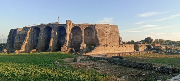
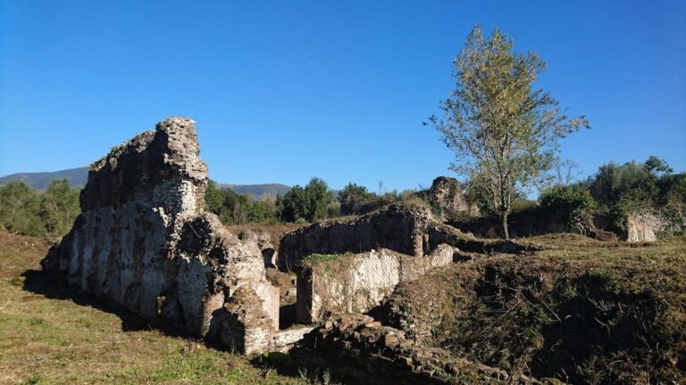
Rocca Montis Dragonis: A Medieval Fortified Settlement in Italy



Site at a Glance
- Rating
- 4.7
- Popularity
- Low
- Country
- Italy
- Primary era
- Medieval
- External website
- Open
- Eras represented
- Iron Age, Medieval
- Civilizations
- Crown of Aragon, Kingdom of Naples, Kingdom of Sicily, Lombard, Norman
- Site type
- Military
- Remains
- Fortified Town
On this page16 sections
History
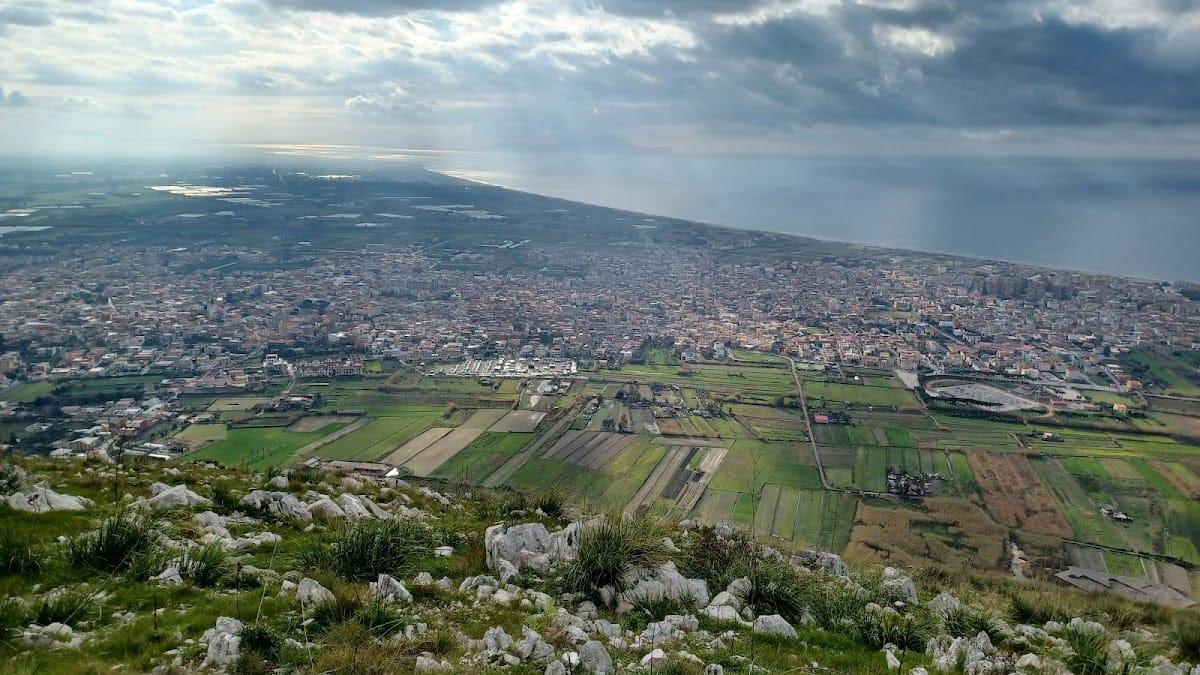
Rocca Montis Dragonis is a medieval fortified settlement in Italy, located on Monte Petrino above Mondragone. Developed through Lombard, Norman, Angevin, and Aragonese phases, it occupied the summit and slopes of a mountain already inhabited during the Iron Age. Its position controlled coastal communications between Gaeta and Naples, while its surviving ruins preserve a late-medieval settlement plan that was not later rebuilt or reoccupied.
Prehistoric and Roman foundations
The settlement covered part of the earlier Villaggio dei Ciclamini, an Iron Age village that developed between the end of the Bronze Age and the beginning of the Iron Age. Its inhabitants were descendants of the Ausones, also called the Aurunci, an ancient Italic population associated with Campania before and during Roman expansion. The village occupied sections of the summit and the east-west ridges of Monte Petrino.
Roman control transformed the surrounding territory after conflicts with the Aurunci that had begun by at least 503 BC. In 314 BC, invading forces massacred the Aurunci, and rural centers were reorganized according to Roman political and administrative requirements. The Via Appia reached the area in 312 BC, and the colony of Sinuessa was founded in 296 BC in territory now divided between Mondragone and Sessa Aurunca. Sinuessa became known for its thermal waters and for the production and trade of Falernian wine. In 217 BC, Hannibal’s campaign against Rome damaged crops in the surrounding Ager Falernus, although his forces did not capture the city.
As Sinuessa declined, some of its inhabitants are said to have sought refuge on Monte Petrino because of persecution, invasions, and natural disasters. These early mountain settlements later became associated with the rocca. The first structures on the mountain were repeatedly damaged during the upheavals of late antiquity. Gothic forces led by Alaric damaged Sinuessa and the mountain settlements in 410, while the Vandals under Genseric destroyed parts of Campania and burned both the coastal refuges and the settlements on the rocca in 455. During the Gothic War, the Gothic king Totila burned the rudimentary mountain fortifications in 544. After the Gothic defeat in 553, the territory was reorganized under Byzantine rule.
Lombard and Norman fortification
The most widely accepted interpretation, though not proven, places the first substantial fortification on Monte Petrino in the period of Lombard control. The Lombards, a Germanic people who established the Principality of Capua and other states in southern Italy, are thought to have fortified the mountain for territorial and political purposes. The stronghold first served as an outpost during struggles involving the papacy, Capua, Naples, Benevento, and Gaeta. It later took part in the conflict against the Saracens, whose forces were defeated near Monte Argento in 915.
The rocca remained under Lombard control until 1058, when Richard I, Count of Aversa, acquired the Principality of Capua after the Lombard defeat at the Battle of Civitate. His descendants administered the territory into the early twelfth century. Norman expansion brought further changes. The Altavilla, or Hauteville, family is traditionally credited with giving the fortification the name “Rocca,” possibly in connection with Drogone d’Altavilla’s daughter. A document of 1105 refers to land near Monte Dragonis, although it does not explicitly mention a fortification.
King Roger II of Sicily and Apulia conquered Rocca Montis Dragonis in 1134, despite opposition from the kingdom’s barons and Pope Innocent II, and strengthened its defenses. In 1155, Richard of Aquila, Count of Fondi, took control of Teano, Sessa, and the Rocca of Mondragone. The stronghold was contested again in 1192 during the conflict between the imperial forces of Henry VI and the Norman forces of Tancred. The imperial commander Diopold of Acerra initially failed to capture it after a prolonged siege, but later succeeded through a deception. His troops staged a retreat and then approached in a false penitential procession, claiming to be visiting Saint Ambrose, the local patron, while disguised soldiers entered the rocca.
Imperial and Angevin control
In 1211, Emperor Otto IV donated the rocca to Roger, son of Richard, Count of Fondi, who had acquired it from Henry VI in 1195. In 1221, Frederick II incorporated Rocca Montis Dragonis, together with the fortifications of Sessa and Teano, into his castra exempta. This status placed a royal fortress under special direct protection or administration rather than ordinary local feudal control. Frederick strengthened its military role because the summit commanded coastal communications between Gaeta and Naples.
Papal forces heavily besieged the rocca in 1227 during the conflict between Frederick II and Pope Gregory IX. Despite its defenses, the settlement surrendered. It was then administered by the Abbey of Monte Cassino under Lionardo Cavaliere, a Teutonic knight serving as governor. Frederick recovered the stronghold in 1230 with support from local inhabitants, after which the castellan Anneo of Rivomatricio administered it.
Under Angevin rule, the rocca became a major strategic point for the coast between Pozzuoli and Gaeta. In 1269, Charles I of Anjou assigned it to Philip of Thessalonica, also known as Philippe de Courtenay, the son of Baldwin II, the last Latin emperor of Constantinople. The grant formed part of Charles’s eastern political strategy. A document from 1270 records a port connected with the rocca, from which millet was shipped to Naples and then transferred to Florence.
Maintenance was already required by 1272. In 1278, Charles I ordered the Justiciar of Terra di Lavoro to inspect the stronghold and estimate repair costs. In 1280, he granted it to William of Alneto, Grand Seneschal and Viceroy of Provence. The settlement later passed to Sergio Siginolfo, under whose lordship it maintained transport and war vessels and became involved in battles during the War of the Sicilian Vespers, a late-thirteenth-century conflict that followed a revolt against Angevin rule in Sicily and involved Angevin and Aragonese forces. Charles II subsequently confirmed William of Alneto’s administration, while in 1290 Charles Martel assigned Adamo Arenga responsibility for the coast between Mondragone and Gaeta. In 1294, the rocca came under the jurisdiction of Carinola while continuing to be administered by William of Alneto.
Abandonment and archaeological work
Rocca Montis Dragonis changed hands repeatedly during the fourteenth and fifteenth centuries. Charles III of Durazzo granted it in fief to Francesco Dentice in 1382. From 1430, it belonged to the family of Giovan Antonio Marzano, Duke of Sessa. The Sannazzaro family also acquired the rocca and surrounding lands, including parts of ancient Sinuessa, through Niccolò and Giacomo Sannazzaro. Queen Joanna II later deprived the family of these possessions after the death of King Ladislaus, who left no heir. Tithe records from 1326, 1365, 1372, 1381, and 1384 show that the Diocese of Carinola administered the rocca during the fourteenth century.
During the conflict between Angevin and Aragonese forces, King Ferdinand I of Aragon conquered the rocca in 1450. After the Marzano family fell from power in 1464, the Duchy of Sessa ended and its lands passed to the Crown. The Carafa family then held the rocca and much of Mondragone’s territory in fief until 1690.
Following the Marzano family’s disgrace after the barons’ conspiracy against Ferdinand of Aragon, the rocca lost its defensive function and was gradually abandoned. Its remaining inhabitants moved to settlements at the foot of Monte Petrino, including Villa dei Marchi, later called Casale di Sant’Angelo. This settlement became Mondragone’s first historic center.
The lands of Mondragone were acquired by the Grillo family through a royal decree of 4 November 1692, issued by Charles II of Spain to Marco Antonio Grillo de Mari and his descendants. Antonio Grillo took the title Duke of Mondragone, and the family administered the territory until the feudal system was abolished in 1806. The family built the Palazzo Ducale but did not adequately maintain the rocca. Inherited debts and the high cost of repairs contributed to its definitive abandonment.
Archaeological campaigns financed by the Municipality between 1999 and 2009 clarified the settlement’s organization, living conditions, and state of preservation. The complex now consists of ruined buildings, but its late-medieval ground plan remains readable. Rocca Montis Dragonis is recognized as Italian national heritage.
Remains
Summit fortress
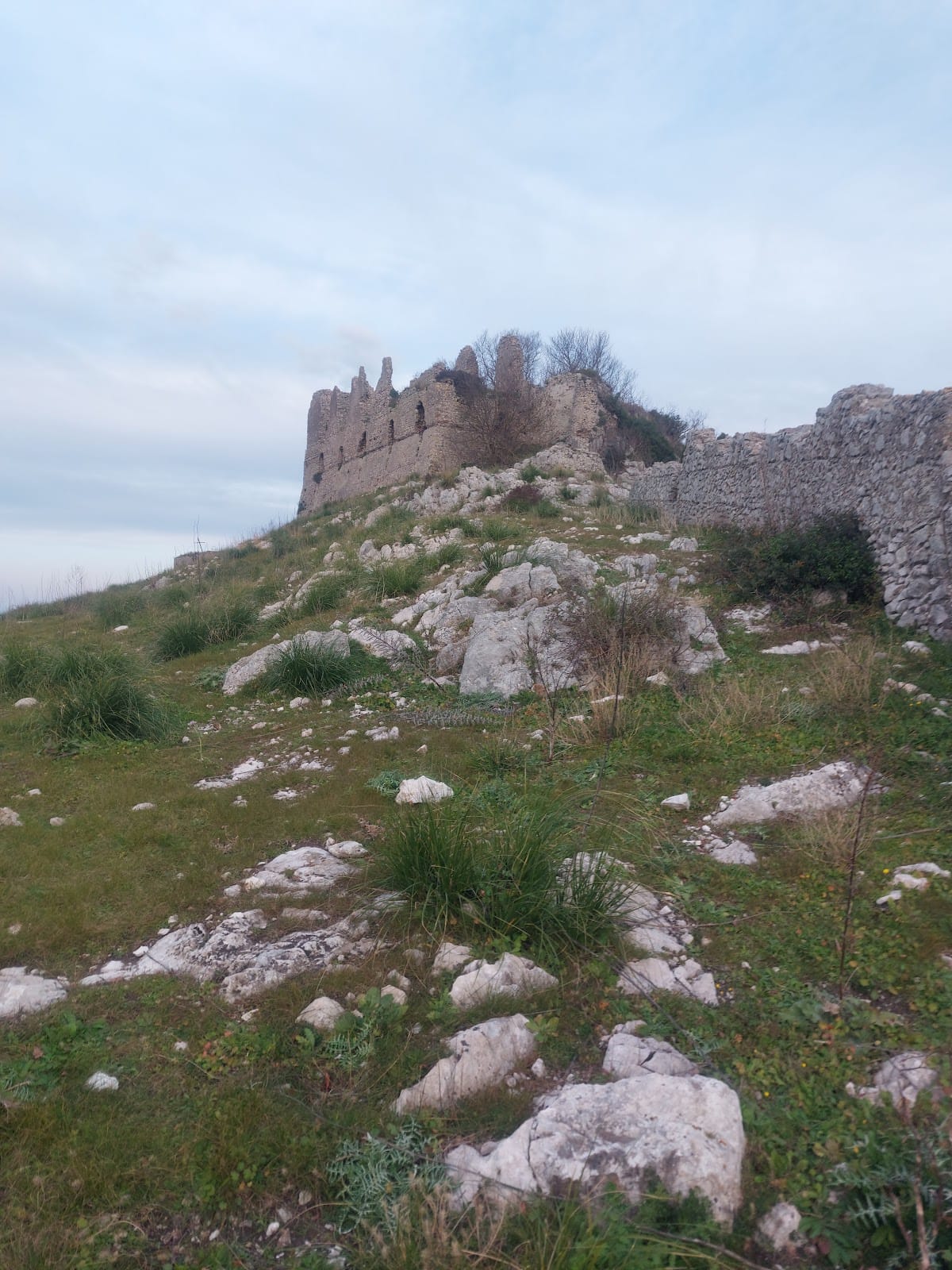
The rocca occupies the summit and slopes of Monte Petrino, with construction belonging to successive Lombard, Norman, and Aragonese phases. Square and circular towers survive among the ruins. The summit complex includes a large L-shaped building, a large cistern, smaller cisterns, interconnected structures, and an initial defensive curtain wall. Thirteen buildings have been identified across the settlement.
Principal palace
The principal palace is an L-shaped, two-storey building on the summit. Erosion, natural deterioration, and severe wartime bombing have damaged the upper storey, which is now only partly visible. Its cornices, vaults, windows, and building materials indicate that its last major structural modification probably occurred between 1400 and 1500, during Aragonese rule.
The ground floor has five gun openings, each no more than approximately 70 centimetres wide. The surviving upper level had five windows measuring approximately 1.80 metres wide and 3.10 metres high, each crowned by a triangular pediment. The palace contained five rooms, including a long, broad hall. Because access from the front was difficult, the entrance was probably located at the side or rear. Claims of underground passages linking the palace with the base of Monte Petrino or the present Palazzo Ducale remain unverified.
Western tower and water system
A round tower stands on the western crest, approximately 100 metres from the palace. It is presumed to have connected the castle with an upper walkway. Numerous cisterns collected rainwater throughout the settlement. The largest, on the summit, is approximately 4 metres long and deep and 15 metres wide, with walls coated in a durable double layer of plaster.
Small structures and furnace
Small single-storey structures surround the palace and descend northward. Beam sockets for ceiling structures remain visible in the former inhabited area, and the roofs were arranged to correspond with the dimensions of the foundations. Excavations in the upper area also uncovered a nearly intact circular furnace dating to the twelfth century. Built of limestone, it was probably used to produce glass and ceramics and has been described as unique in Italy for its state of preservation.
Enclosed villages
Eastern village and church
On the eastern slope and ridge, a village was enclosed by a second circuit wall with two entrance gates and a pentagonal tower at its western end. It stood directly against the upper fortified enclosure and contained a small religious building, large multi-room structures, and interconnected small cisterns for collecting rainwater.
The church had a single nave and one apse, a semicircular end of the building. It was later converted into a cemetery, and large sections of its pavement were removed for burials. Excavation beneath the destroyed apse area in 2004 revealed handmade pottery fragments and postholes cut into the rock. These features belonged to an earlier protohistoric hut.
Storehouse and southern village
A multi-room building behind the church contained two rainwater cisterns. Its internal arrangement suggests a function other than ordinary domestic occupation, probably as a storehouse for collecting and distributing food supplies, with the upper floor perhaps used as a residence.
A second village occupied the southern slope. Its houses were divided into three or four rooms. A third defensive curtain enclosed the complex along its eastern and western sides in two disconnected straight sections oriented north-south.
Outer wall
Along the ridge descending toward the sea, a large outer defensive wall was reinforced by two towers. It survives at foundation level and separated the northern slope, where the settlement’s approach path lay, from the southern slope, which was extremely steep and without vegetation.
Earlier archaeological settlement
The Villaggio dei Ciclamini occupied parts of the summit and the east-west ridges before the medieval settlement covered much of the area. Excavations in 2001 identified approximately eighty irregularly circular huts cut into the limestone. Associated finds date from the ninth to the end of the seventh century BC and are preserved at the Biagio Greco Civic Museum in Mondragone.
Cave and Roman remains at San Rocco
Near the foot of Monte Petrino, beside the ancient Via Appia, a cave was discovered inside the deconsecrated seventeenth-century church of San Rocco. It appears to extend beneath the road toward the mountain and lies above the remains of a rural villa dating to the second century BC. The cave was closed pending further archaeological work.