Radosno Castle: A Medieval Frontier Stronghold in Poland


Site at a Glance
- Rating
- 4.2
- Popularity
- Low
- Country
- Poland
- Primary era
- Medieval
- Eras represented
- Medieval
- Civilizations
- Holy Roman Empire
- Site type
- Military
- Remains
- Castle
On this page12 sections
History
Radosno Castle, also known as Freudenburg, is a ruined medieval stronghold in Poland, near Rybnica Leśna and Sokołowsko in the Sudetes. Its earliest construction probably took place in the second half of the thirteenth century, although the castle is also dated approximately to 1250. Its founder remains uncertain. The fortress stood near the southern frontier with Bohemia, guarded a nearby medieval trade route, and helped extend political control across a sparsely populated mountain region.
Foundation and frontier role
Radosno is commonly associated with Duke Bolko I of Świdnica-Jawor. Another interpretation proposes that the Czechs built it as a counterweight to the nearby Rogowiec stronghold. The castle formed part of a local chain of frontier fortifications that also included Rogowiec, Grodno, and Nowy Dwór. It became the first historical settlement center of the Mieroszów area and served as the titular administrative seat of the surrounding estate.
The castle and its fief, a territorial holding granted by a superior ruler in return for specified obligations, are recorded in 1350 and 1355. The fief included Mieroszów and nearby villages. At that time, Radosno lay within the Duchy of Świdnica-Jawor, a medieval Silesian principality whose territory later passed to the Bohemian Crown. The fortress belonged to the Bohemian border-defense system and had its own burgrave, an official responsible for administering and defending a castle or its district. In 1350, it was also described as a royal fief held by Mertin von Swenkinvelt.
Fourteenth-century transfers
During the first half of the fourteenth century, Radosno was held by Reincz, Hans, and Jerislav Swenkinvald. By 1355, the castle had become a base for brigands, and the Bohemian king Charles IV of Luxembourg captured it. The following year, Hersko of Rozkowice purchased the fortress for 2,300 Prague groschen. The agreement reserved Duke Bolko II the Small a right of first purchase, which he soon exercised.
After Bolko II’s death, his widow Agnes granted Radosno as a fief in 1369 to Przecław of Pogorzela, bishop of Wrocław. He held it until 1376, when the castle passed to Gunzel and Nickel von Seidlitz. From 1388, it belonged to Heinrich von Rechenberg and his four sons. In 1392, Radosno passed with the Duchy of Świdnica-Jawor into the possession of the Bohemian rulers.
Sieges and destruction
During the Hussite Wars, fifteenth-century religious and political conflicts centered on the followers of Jan Hus in Bohemia, Radosno was besieged twice, in 1427 and 1434. Whether either siege resulted in the castle’s capture is unknown. From the beginning of the fifteenth century, robber knights, noble warriors who used fortified residences as bases for raiding and banditry, occupied the fortress. Their activities contributed to the castle’s loss of strategic importance. In 1443, Wrocław burghers supported by troops destroyed it.
Hans and Nikolaus von Schellendorf rebuilt Radosno in 1466, but they later became involved in brigandage themselves. Troops of Matthias Corvinus took the castle in 1483. In 1497, Georg von Stein captured and destroyed it on the orders of the Bohemian king Vladislaus Jagiellon. Radosno has remained a ruin since that destruction.
Later settlement history
A settlement called Freudenburg stood about four kilometers southeast of the castle. It disappeared after 1945. A village later developed there around a glassworks established after 1661, preserving the name’s association with the wider area rather than with the ruined fortress itself.
Remains
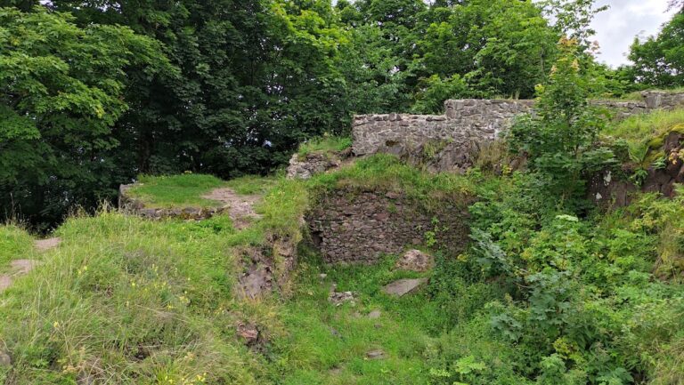
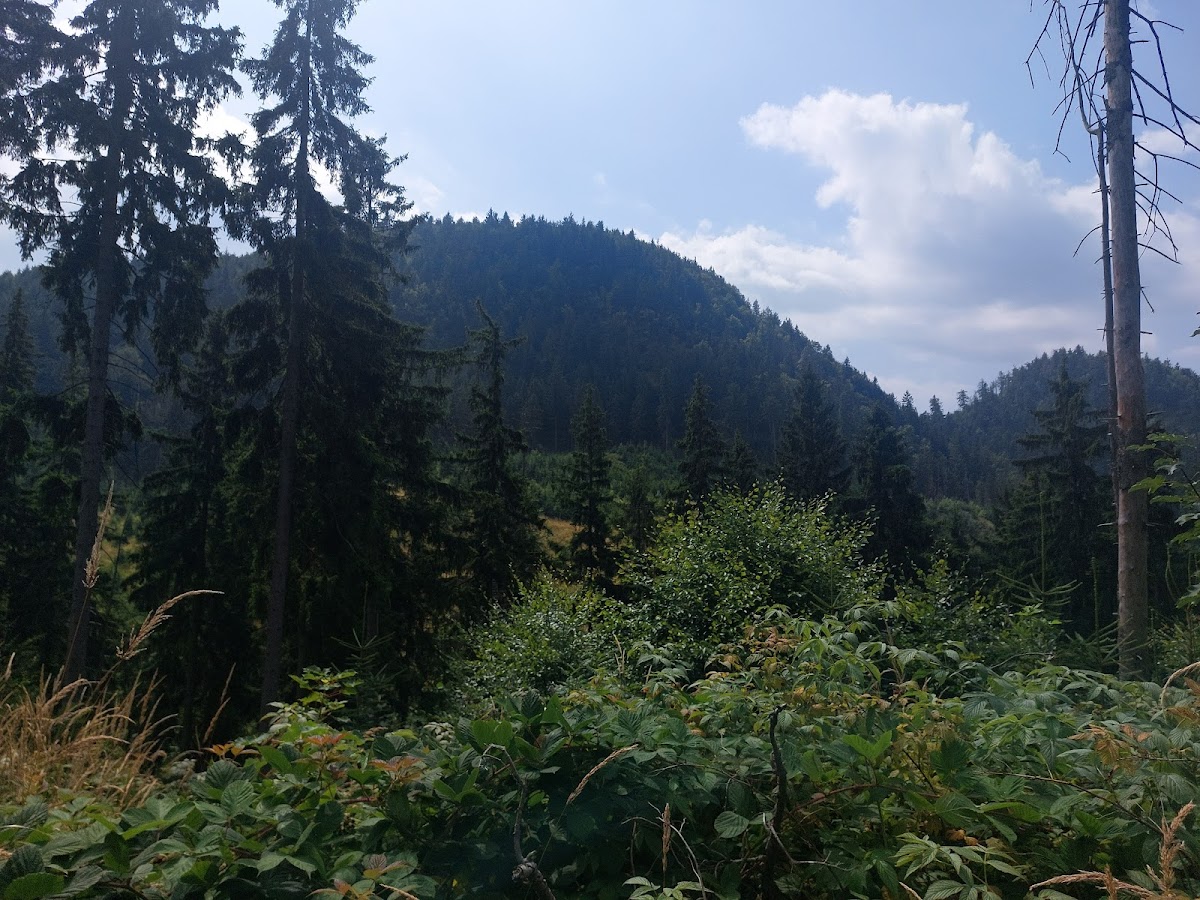
Radosno occupies a mountain spur at approximately 770 to 777 meters above sea level on the northern slope of Suchawa, in the Kamienne Mountains and the northwestern part of the Góry Suche. The spur projects southeastward into a small valley, and the castle stood about 25 meters above the valley floor. Its position used the highest part of the ridge for the main defensive tower, while the rest of the complex extended across the spur.
Early tower and later defenses
Cylindrical defensive tower
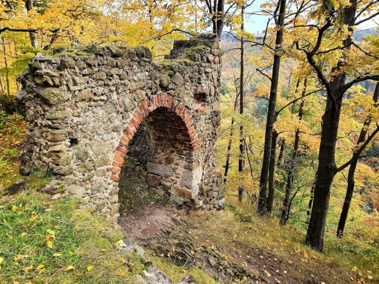
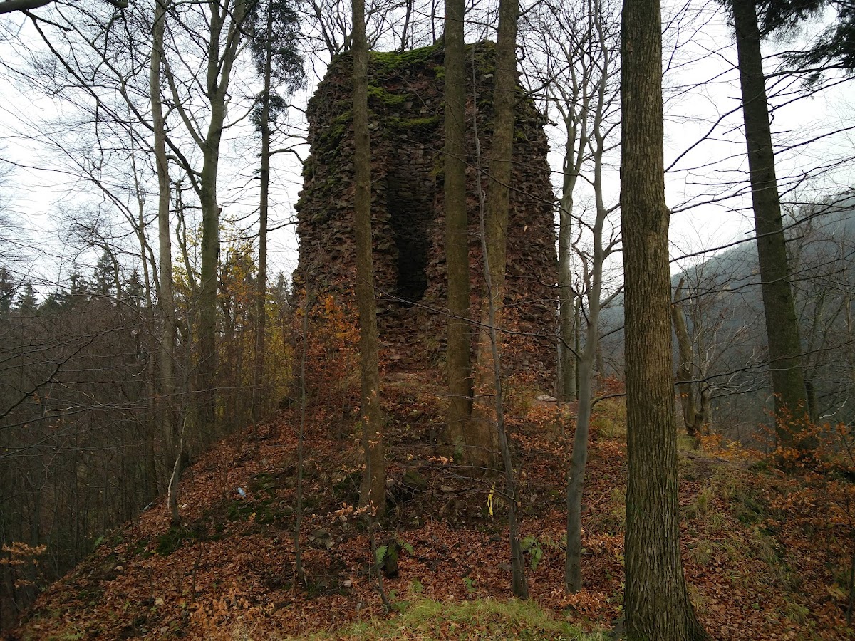
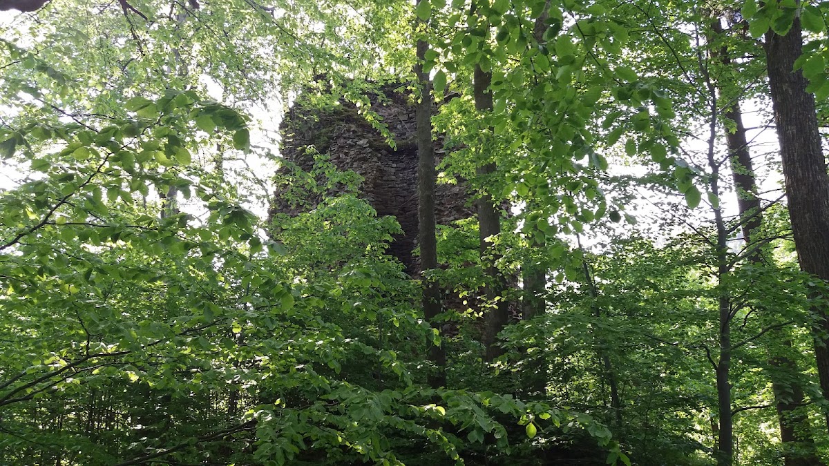
The earliest phase probably consisted of a cylindrical stone tower with a diameter of 7.2 meters. Built from locally quarried melaphyre, a dark volcanic rock used as a local building material, it stood in the highest southeastern part of the hill, where the position was most exposed to attack. Wooden-and-earth fortifications initially surrounded it, and the entrance was placed approximately four meters above ground level. The lower section of the tower survives to a height of about 12 meters, together with other masonry from the structure.
Castle walls and towers
During the fourteenth-century building phase, defensive walls and residential and service buildings replaced the earlier wooden-and-earth defenses. Together they enclosed a courtyard of nearly 300 square meters. The main castle followed a roughly rectangular plan measuring approximately 17 by 30 meters. A freestanding cylindrical tower remained in the highest southeastern part of the complex, while a residential building occupied the northern corner. A small castle palace is also described on the northern side.
A quadrangular tower measuring approximately 6 by 6 meters stood in the northwestern part of the fortification. It was joined to the defensive wall and contained the entrance gate. Recently exposed ground-level fragments of the residential building survive on the northwestern side of the former defensive complex, providing a limited trace of the buildings that once bordered the enclosure.
Outer works and approach
Outer bailey and moats
A small rectangular outer bailey, an enclosed subsidiary area used for access, support buildings, and practical activities, adjoined the castle on its southern side. It measured approximately 14 by 18 meters. Rock-cut moats strengthened the defenses around the complex. These ditches were excavated directly into bedrock, measured between 3.5 and 7 meters in width, and reached depths of up to approximately 4 meters.
Medieval road connection
The castle stood beside a medieval road that crossed a saddle about 50 meters south of the castle hill. The road passed the site through a hollow way to the west, while a branch led eastward toward the fortress. Its position near the valley also made water supply relatively uncomplicated.