Pinxton Castle: An Earthwork Castle and Fortified Manor
Site at a Glance
- Popularity
- Medium
- Country
- United Kingdom
- Primary era
- Medieval
- Eras represented
- Medieval
- Civilizations
- English
- Site type
- Military
- Remains
- Castle
On this page12 sections
History
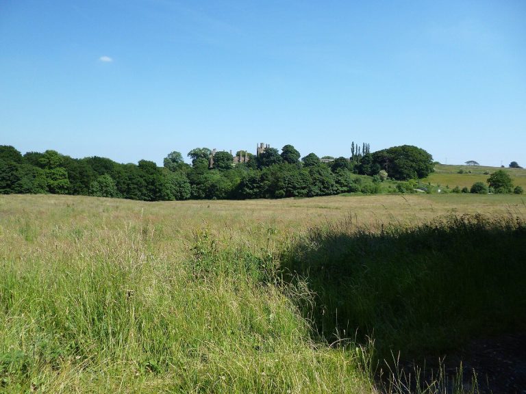
Pinxton Castle is an earthwork castle and later fortified manor site in Castle Wood, between Pinxton and South Normanton, Derbyshire, United Kingdom. It is thought to have originated in the early 12th century, although its original purpose and development remain uncertain. The site is also locally known as Wynn’s Castle.
Castle and fortified manor
Historic England interprets the motte, a raised defensive mound, as the keep, or principal fortified building, of a 12th-century earthwork castle. In a later medieval phase, the mound and some nearby features were incorporated into the defences of a fortified manor, a lord’s residence with defensive features. The motte may have been adapted as a gatehouse.
The earliest known written description of the site appeared in William Stevenson’s 1918 account. Stevenson proposed that the castle belonged to a chain of forts built by King John before he became king. John ruled England from 1199 to 1216, but Stevenson’s proposed connection remains uncertain.
The manors and their owners
The De Alfreton family granted the manors of Pinxton and South Normanton to Ralph le Poer, who was still living in 1242. A marriage to le Poer’s heiress later brought the manors under successive generations of the De Wynn, or Le Wyne, family. Around 1340, John le Wyne sought to recover fines imposed by Sherwood Forest officers for grazing cattle in Fulwood, just across the Nottinghamshire border. William le Wyne sold the manors in 1342.
Excavation and later history
South Normanton Colliery was developed immediately east of the site in the late 19th century. A branch railway from the former Great Central Railway served the mine and terminated beside the castle.
The Pinxton Archaeological Society excavated in 1950 and 1951, but stopped work in 1952 because of ground conditions. In 1959, an inspector criticized the excavation methods and suggested that the site might have housed a local Sherwood Forest officer, who would have helped enforce royal-forest rules such as restrictions on grazing. During a visit, archaeologist Sir Mortimer Wheeler identified some pottery fragments as 14th-century.
An archaeological examination of four fields south of the castle in 1993 recovered 80 objects, including 20 of medieval date. The site became a scheduled monument on 25 February 1994, a status that gives archaeological sites and historic structures legal protection in England. A 2022 assessment judged its general condition unsatisfactory because vegetation growth was unconstrained, though it also noted improvement in its overall position. The site remained on the Heritage at Risk Register in 2023.
Remains
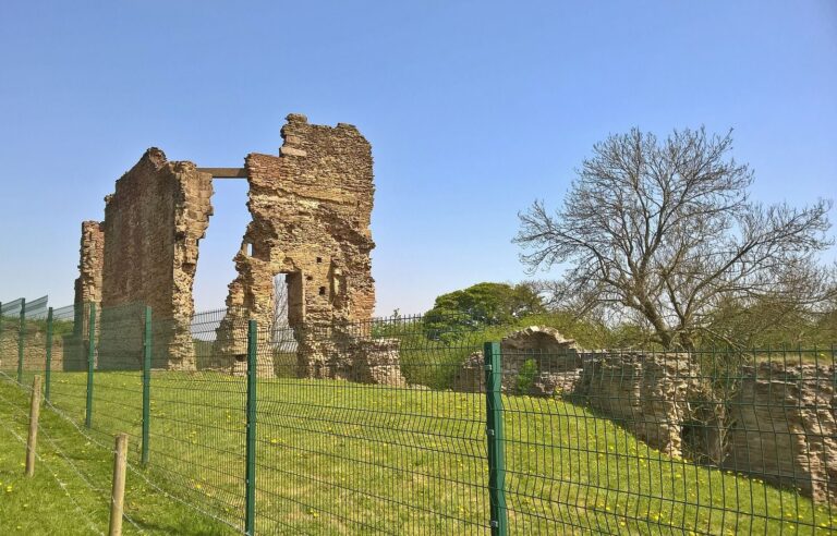
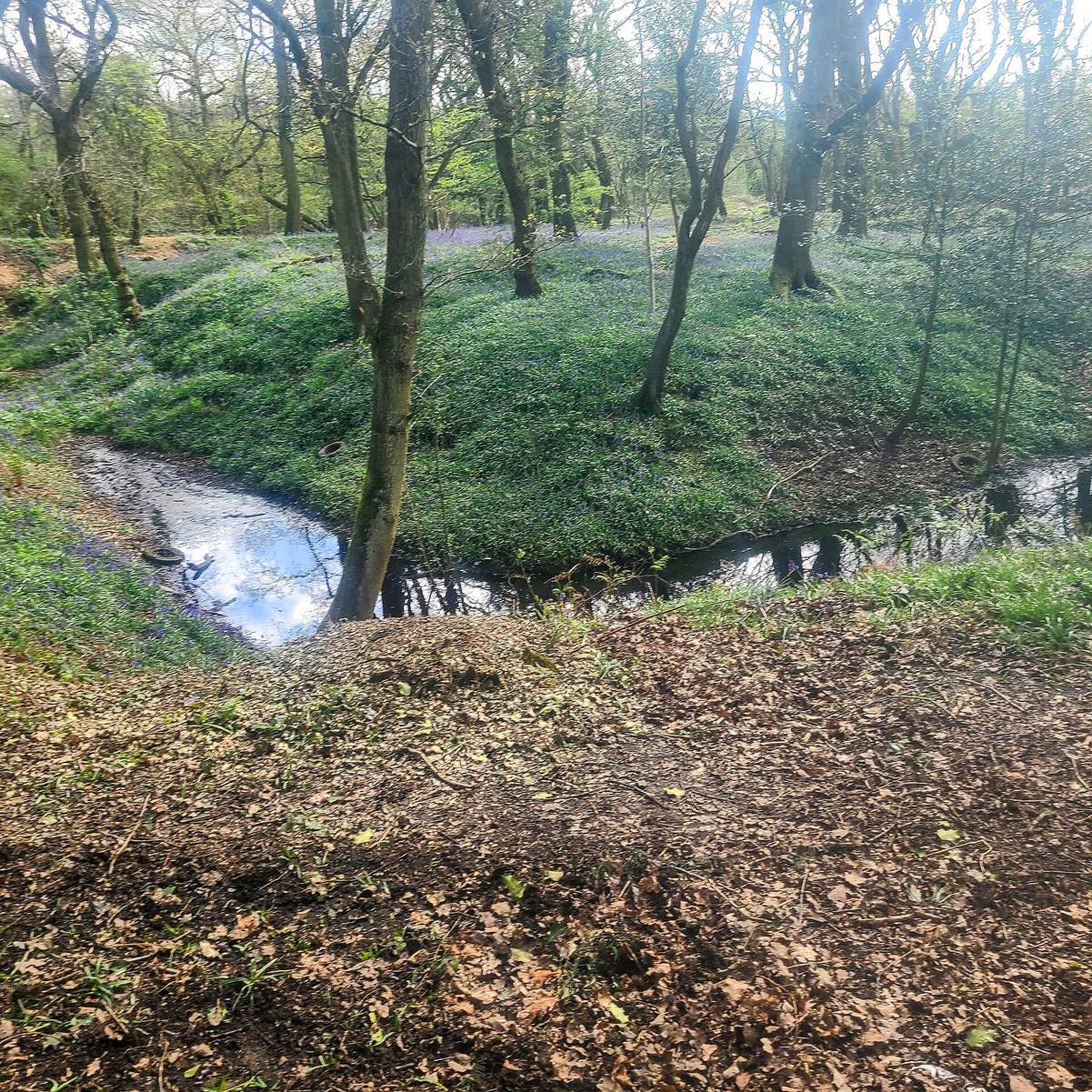
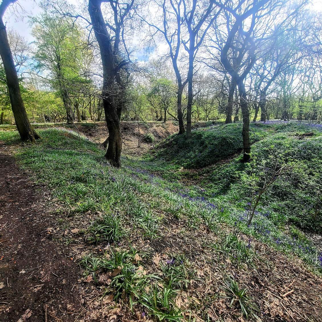
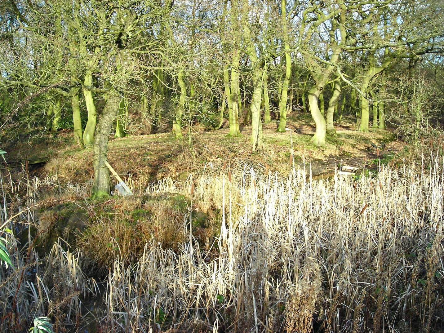
The remains lie in Castle Wood and comprise a raised mound, perimeter earthworks, a moated platform, traces of buildings and five fishponds. The arrangement places the moat inside the broader outer defences rather than along their outer edge. Earth, timber and some stone were used in this type of castle construction, which could be built quickly and economically.
Earthworks, moat and fishponds
Motte and outer defences
The motte rises about three metres and was described by Stevenson as having an irregular, cone-like form. The castle is thought to have had an outer bailey, an enclosed yard beyond the main stronghold, around the mound. Ancillary structures may have included livestock pens. A defensive ditch and timber fence have also been proposed, while a wall, perhaps topped with battlements, may have enclosed part of the site. Stevenson considered the bailey ditch to have held water and suggested that quickly constructed successive baileys might have formed an early phase.
Moated platform
The moated area is a platform about 30 by 40 metres, surrounded by a moat roughly eight metres wide and between one and two metres deep. Parts of the moat still hold water. Its position within the larger defensive earthworks gives the enclosure its unusual layout.
Fishponds
Five fishponds were created as a food supply. They reach up to 40 metres in length and 1.5 metres in depth. Some retain water, as do parts of the moat.
Buildings and excavated finds
Walls and timber building
Excavations on the western side of the inner bailey uncovered a stone wall with a corner stone at its northern end. A line of postholes along the wall indicates that a timber building stood there. Trenches also exposed a less clearly defined wall to the east. A building measuring about 9 by 7 metres was tentatively identified, and traces of walls and floors are thought to belong to later structures.
Finds from the trenches included late 14th-century pottery and tiles, along with roofing stone. The ridge tiles had serrated edges and glaze in two shades of brown and a grey-green. Some pottery fragments were glazed on both their inner and outer surfaces. Tree roots disrupted the soil layers, limiting interpretation of how the remains relate to one another; pottery came from broadly similar depths, while roofing tiles occurred at varying levels.
Stone platform and carved stone
A stone platform on the northeast side of the inner bailey measured 2.34 by 1.5 metres. Three sides were formed by neatly laid bevelled stones, while the boundary of the fourth side was unclear. Excavated material also included a sandstone capital, the carved upper part of a column, dated to around 1150.