Pettelaarse Schans: A Reconstructed Dutch Fort near ’s-Hertogenbosch

Site at a Glance
- Rating
- 4.3
- Popularity
- Low
- Country
- Netherlands
- Primary era
- Early Modern
- External website
- Open
- Eras represented
- Early Modern
- Civilizations
- Spanish
- Site type
- Military
- Remains
- Fort
On this page6 sections
History
Foundation and siege
Pettelaarse Schans, also called Fort Saint Michèl, is a reconstructed Dutch fort in the Netherlands, south of ’s-Hertogenbosch. Built in 1623, it occupied a strategically important height and formed part of the city’s defensive landscape.
The fort followed two failed attempts by Maurits van Oranje, or Maurice of Nassau, to capture ’s-Hertogenbosch, in 1603 and 1622. Maurits was a Dutch military commander and stadtholder whose reforms influenced warfare in early modern Europe. During both attacks, the city’s inhabitants flooded the surrounding marshes, while Maurits occupied the height south of the city. After his defeat, they built the fort on that position.
Fighting reached the fort six years later during the siege of ’s-Hertogenbosch led by Frederik Hendrik of Orange-Nassau. As stadtholder and military commander, Frederik Hendrik directed the successful 1629 siege. Spanish control of the city did not prevent him from eventually capturing it.
Demolition and later uses
At the beginning of the Franco-Dutch War in 1672, France and its allies attacked the Dutch Republic. By that time, the fort had fallen into disrepair and no longer served a military purpose, so it was demolished to prevent French armies from taking possession of it.
De Pettelaar briefly became the Netherlands’ first military airfield in September 1911. The army held exercises there and experimentally invited six aviators to conduct reconnaissance flights in their own aircraft. One of them was Sergeant Marinus van Meel. The site was considered too small, and in 1913 the first aircraft owned by the Dutch Defence Ministry were stationed at Soesterberg instead.
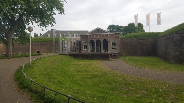
The former fort was reconstructed in 1959 during the construction of the Zuiderplas, preserving the outline of the military position in a later landscape.
Remains
Fort and water landscape
The reconstructed site follows a five-pointed star plan, characteristic of a schans, a fortified military position consisting chiefly of earthworks and defensive works. Water from the Zuiderplas surrounds the fort. The Zuiderplas connects with the Stadsgracht through the Pettelaarse Vaartgraaf, while the Stadsgracht flows from the Dommel. A row of trees marks the location of the former fort.
De Pettelaar farm
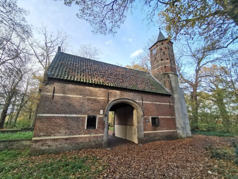
The former De Pettelaar farm stands on the schans. Built in 1880 on remnants of the fort, it is used as a restaurant and forms part of the surviving built landscape on the reconstructed position.
Nearby sites