Parc la Mutta: A Prehistoric Standing-Stone Complex in Switzerland
Site at a Glance
- Popularity
- Medium
- Country
- Switzerland
- Primary era
- Bronze Age
- Eras represented
- Bronze Age, Iron Age
- Civilizations
- Unclassified
- Site type
- Civic
- Remains
- Megalithic Monument
On this page16 sections
History
Prehistoric activity
Parc la Mutta is a prehistoric standing-stone complex at the southern edge of Falera, above Laax in Switzerland. It is generally associated with the Middle Bronze Age, when bronze was widely used, although its precise date and purpose are uncertain. Charcoal from the clay foundation of one standing stone produced a radiocarbon date between 1500 and 1200 BCE, near the transition to the Late Bronze Age. This is the sole analysis of its kind at the site, and the date of the principal stone row remains unclear.
The rows have been interpreted as possible parts of a place for solar ritual or observation. J. Maurizio drew attention to the principal row’s astronomical alignment in 1948, but the meaning of some proposed alignments, especially those involving marked stones and stars, remains uncertain. The stone complex is part of a wider prehistoric landscape that also included a settlement on the hill of La Mutta.
Excavations begun around 1935 by district forester Walo Burkart revealed the settlement. Its occupation lasted from about 1800 to 400 BCE, spanning the Bronze Age and the later Iron Age, when iron became widely used. Excavators distinguished five Bronze Age soil layers and one Iron Age layer. This settlement chronology describes activity on the hill, not the construction date of the standing-stone rows.
Recognition and investigation
In 1935 Burkart also drew attention to six column-like stones arranged at intervals of about 19 metres or multiples of that distance. Air photographs taken from July 1939 onward preserve the positions of fallen stones. In 1976, Ulrich and Greti Büchi described rows in which individual stones had been removed. These observations helped establish that the surviving arrangement had changed over time.
Local resident Ignaz Cathomen and geologist Ulrich Büchi raised some stones in 1986, without systematic archaeological recording. Excavations directed by Büchi in 1988 established the original positions of 27 more stones, which were then re-erected. In 2000 and 2001, Jürg Rageth of the Graubünden cantonal archaeological service oversaw the raising of nine additional menhirs. Parc la Mutta is designated a cultural property of national importance in Switzerland.
Remains
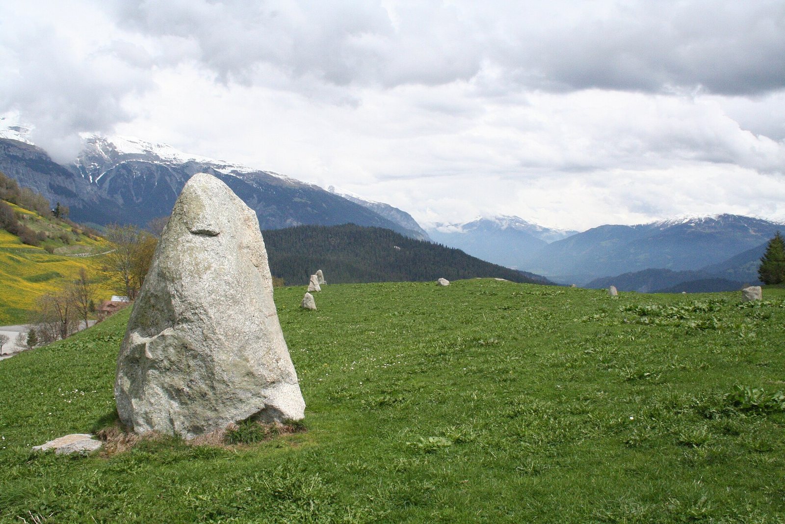
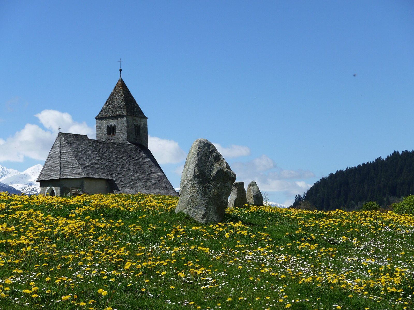
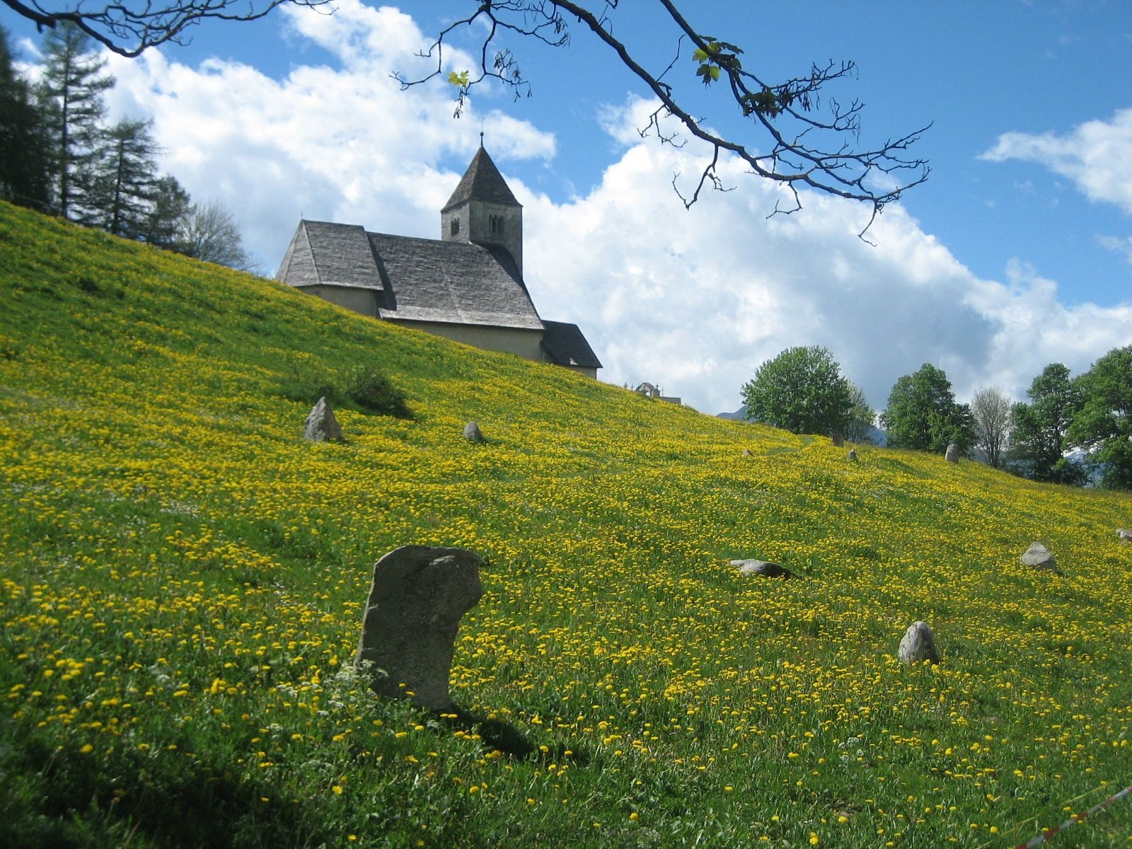
The complex extends for about 400 metres at roughly 1,200 metres above sea level. It comprises 36 menhirs, or large upright stones, most of them on the Planezzas plain, north of the wooded hill of La Mutta. The stones are glacially transported blocks of granite or diorite, and the tallest is more than two metres high. Many were probably brought to Planezzas from the slope above the village. The Church of St. Remigius, more than a thousand years old, stands nearby.
Standing stones and alignments
Principal row
The principal row has five menhirs and slopes gently down toward the northeast. Its direction points to sunrise over Taminser Calanda around a month before and after the summer solstice, approximately 21 May and 21 July. Three stones in the row form a triangle with side lengths in the ratio 8:15:17, a whole-number relationship that satisfies the Pythagorean theorem. The triangle’s longest side follows the row, while its other sides run along north-south and east-west directions.
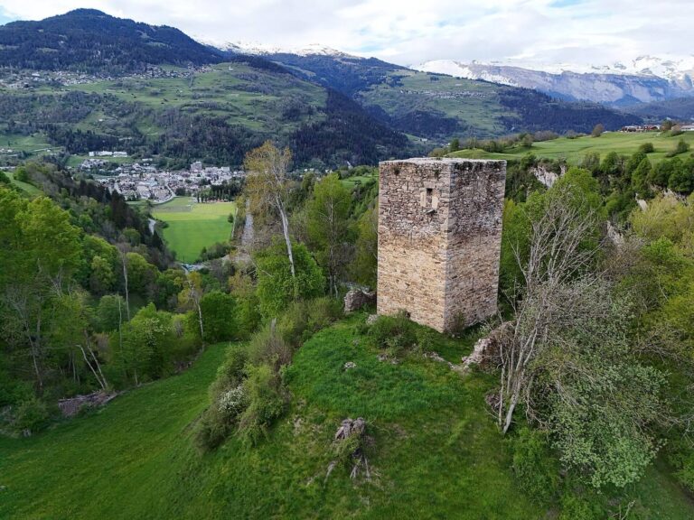
In the opposite direction, an extension of the row points toward a stone setting once present in the church precinct at Ladir, before the rectory was built. A further extension passes the Chapel of St. Anton toward the ruins of Frundsberg, rather than toward the Church of St. George at Ruschein. Westward, the line passes the Chapel of St. Magdalena west of Schnaus and St. Martin at Obersaxen. Five churches or chapels at Schnaus, Ruschein, Ladir, Falera and Laax, including the Chapel of St. Nicholas, are described as lying along the same 62-degree axis. Bronze Age finds from Crest da Ruschein and numerous cup-marked stones also occur along this broader alignment.
Cross-row and other proposed alignments
A second row of six blocks crosses the principal row. Archaeoastronomer Gion Gieri Coray proposed a link between this row and Caph, a star in Cassiopeia, while regarding the interpretation as questionable. Earth’s rotational axis slowly changes direction, a process called precession, so the apparent positions of stars differ over long periods. Other proposed readings of the stones relate to summer-solstice sunrise, winter-solstice sunset and the equinoxes.
Foundations and re-erected stones
Stones raised during archaeological work were set into firm clay, turned into position, and secured with elongated wedging stones. Glacial debris and humus were placed around them. Excavations located original foundation pits for a number of stones, particularly on Planezzas, and recovered ochre, charcoal fragments and wedging stones. Erosion and small landslides may have shifted the original positions of the row facing Piz Muraun.
Marked rocks and engravings
Arrow on a drawn bow
West of the approach to St. Remigius, a rock bears an engraving of a 60-centimetre arrow on a drawn bow. Its point faces the part of the sky where a calculation placed a 96-percent solar eclipse at 10:17 on 25 December 1089 BCE. Later calculations put the eclipse before sunrise in the Surselva, and the rock’s heavily eroded forms make the proposed connection hypothetical.
Incised slab on the southwestern slope
A tilted slab beside the lower path on La Mutta’s southwestern side carries a circle 120 centimetres across, with a hole at its centre. A small circular cup lies near the circle’s upper left, and an eight-centimetre groove runs east to west. Possible uses include marking the summer solstice or the dates 11 November and 2 February, but these interpretations are uncertain. The slab can also function as a sundial. Because it sits on a steep slope, its present position may not be its ancient one.
Cross-marked stone by the cemetery
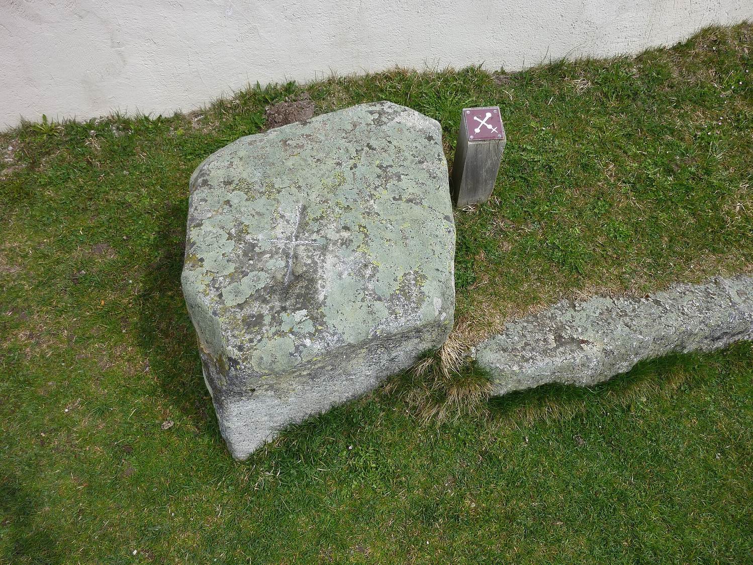
A granite block beside the right-hand side of the cemetery entrance at St. Remigius has a nearly level surface bearing a cross whose arms end in cup-shaped hollows. A smaller, shallower cross branches from the south arm, and engraved dots between the arms can be seen in very oblique light. A bar pointing toward Piz Mundaun has been interpreted as marking the winter-solstice point on the horizon. The cemetery wall passes within a few centimetres of the stone; its position close to, but separate from, the wall has been taken to suggest that it was respected over the centuries.
Human-face engraving
A large block of Verrucano, a coarse-grained regional rock, on the hill’s southwestern side bears an engraving discovered by Cathomen on 23 September 1984. It shows a smiling human face, with a form resembling a crown or hair. Beside the figure’s shoulder is another shape that may represent a spearhead or the upper part of the disc-headed pin found on the hill. The figure faces northwest, toward the summer-solstice sunset, but its date is unknown.
Settlement on La Mutta
Enclosure and occupation
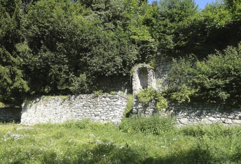
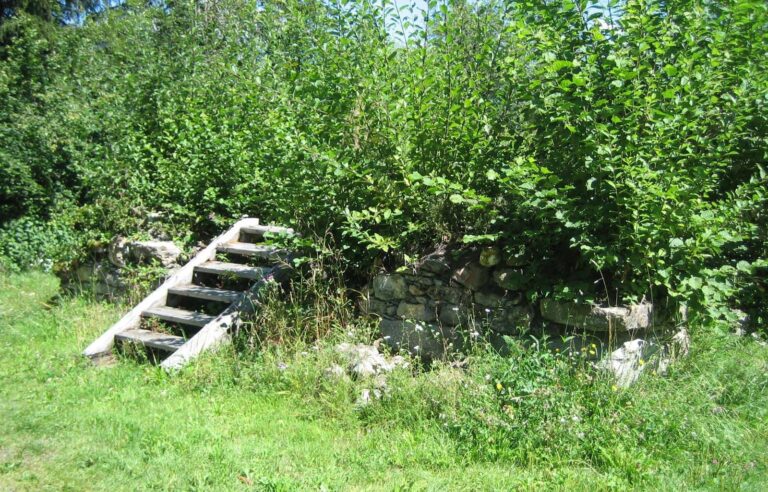
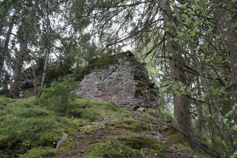
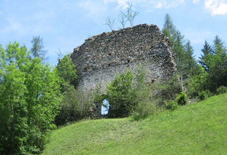
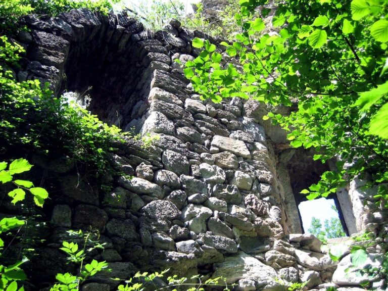
The settlement occupied about 1,500 square metres on the wooded hill, which rises roughly 50 metres above Planezzas. Its inhabitants probably lived in log houses, and its population has been estimated at 60 to 120. A substantial wall enclosed the settlement. Its foundation was about two metres wide and its top about three metres wide; the gate was on the north-northwest side and remains discernible. The wall is now heavily overgrown and barely visible.
A hearth and pottery wasters, discarded pieces from production, indicate that pottery was made at the settlement. The decoration on its pottery is related to finds from Crestaulta, another prehistoric settlement in the Surselva. Five bronze sickles and more than 50 quernstones, stones used to grind grain, point to agricultural activity.
Disc-headed pin
A large bronze disc-headed pin was found in the settlement’s third-lowest layer on 23 July 1943 and dated to the Early Bronze Age. It is 83 centimetres long, with an oval head measuring 16.5 by 12.5 centimetres. The head has hammered bosses and engraved lines, and is joined to a forged stem. Disc-headed pins were worn with women’s clothing, but examples were usually about 20 centimetres long; this unusually large object is described as unique.
Astronomer and meteorologist William Brunner interpreted the pin’s decoration as representing Venus’s synodic period, the time between repeated apparent positions of a celestial body relative to the Sun as seen from Earth. A proposed connection between the pin’s length and the “megalithic yard,” an unestablished unit used in interpretations of some prehistoric monuments, remains controversial. The pin was conserved at the Swiss National Museum laboratory in Zurich and is exhibited at the Rätisches Museum in Chur.