Tateyama Castle in Yonezawa: A Medieval Hilltop Stronghold
Site at a Glance
- Popularity
- High
- Country
- Japan
- Primary era
- Medieval
- Eras represented
- Medieval, Early Modern, Modern
- Civilizations
- Japanese, Tokugawa
- Site type
- Military
- Remains
- Castle
On this page14 sections
History
Tateyama Castle in Yonezawa is a hilltop castle site in Japan with origins that may reach back to the Kamakura period (1185–1333). Its construction date is uncertain, but the Nagai clan may have established it; the Date and Uesugi clans also shaped its later development. During the Sengoku period, an era of warfare among regional powers in the 15th and 16th centuries, the castle served as a defensible stronghold and refuge.
Nagai and Date rule
The castle’s early history is tied to the Nagai family’s control of the region. Ōe no Hiromoto, a senior adviser to Minamoto no Yoritomo, founder of Japan’s Kamakura shogunate, received an estate in Dewa Province and passed it to a younger son. The son took the name Nagai from the estate. The Date clan, whose base had been Yanagawa Castle for about 300 years, defeated the Nagai in 1385 and took control of Okitama.
Date Tanemune moved the clan’s seat to Kōri-Nishiyama Castle in 1532, and Date Harumune transferred it to Yonezawa Castle in 1548. Tateyama was repaired as a military stronghold and refuge because its position offered better defense than Yonezawa Castle. Tateyama may have been the castle called Yonezawa Castle during Date rule. That name was generally associated with the present Yonezawa Castle, later the Uesugi domain’s stronghold, but archaeological findings have made Tateyama the leading alternative identification.
Terumune, Masamune, and the Date departure
In 1584, Date Terumune handed leadership of the clan to his son Masamune and retired. While Terumune’s residence at Tateyama was being completed, he stayed at the residence of senior retainer Ayukai Muneshige. The work was finished the following year, and Terumune moved to Tateyama. He was later assassinated by the Nihonmatsu clan.
Masamune began repairing Tateyama in 1587. After defeating the Ashina in 1589, he moved his seat to Kurokawa Castle in Aizu, while Tateyama remained important for guarding the mountain passes between Yonezawa and Aizu. In 1591, the military ruler Toyotomi Hideyoshi ordered Masamune to move to Iwadeyama. The Date later established Sendai Castle and the Sendai domain in 1601.
Uesugi rule, abandonment, and later investigations
After the Date left, the territory passed through Gamō rule to the Uesugi. Following Gamō Ujisato’s death in 1595, the Yonezawa portion of his territory went to Uesugi Kagekatsu. After the Battle of Sekigahara, the Uesugi were reduced to their Yonezawa holdings. They remodeled Tateyama, including its stone defenses.
The castle was abandoned in 1615 after the Tokugawa shogunate, Japan’s military government under the Tokugawa family, restricted each domain, or lord’s territorial holding, to one stronghold. The newly rebuilt stone walls were taken down as part of the abandonment.
Limited investigations took place in the mid-20th century, followed by more extensive archaeological work beginning in 2001. Yonezawa City Board of Education excavated the site from 2011 to 2015, and the findings strengthened its identification as a Date clan base during the Sengoku period. Tateyama became a National Historic Site of Japan in 2016.
Remains
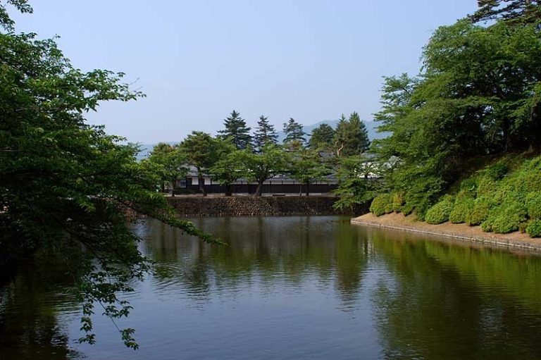
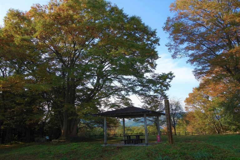
The remains cover about 34 hectares across a low hill and adjoining ground at a river confluence in the upper Mogami River watershed. The site lies in the southwestern Yonezawa Basin, about 4 km west of the present Yonezawa Castle, on the route toward Aizu and its mountain passes. The hilltop fortifications were associated with residential areas to the north, east, and south. Earthworks, moats, enclosures, entrances, stonework, and wells survive across the site.
Hilltop enclosures and defenses
Southeastern entrance and enclosures
The main entrance was on the southeastern side, in front of the eastern residential area. It led through Enclosure I, which extended about 120 m from east to west and reached up to 65 m in width, to Enclosure II. This roughly square enclosure measured about 60 by 70 m and may have been the main bailey, an enclosed area within a castle. A square, bent masugata entrance, a walled entry that forces a turn, an earthen rampart, or raised defensive bank, and a downslope moat marked the boundary with the eastern enclosure.
Ridge defenses and outer enclosures
A rampart along the main enclosure’s western side measured 10–20 m wide and 6 m high. A cross-ridge moat, a ditch cut across a ridge, lay beside it and reached about 10 m in depth. Another rampart, about 3 m high, ran along the northern side. Beyond the western moat stood a smaller third enclosure, with a lookout platform on the cliff to its south. Smaller enclosures around these areas had earth ramparts, dry moats, and watchtowers; they served as fortified residences for senior retainers.
Residential areas
Northern residential area
Excavations in the northern residential area revealed orderly arrangements of medieval residences that appear to have been occupied over a comparatively long period. Finds point to use during the time of Date Harumune and Date Masamune.
Eastern residential area
Features in the eastern residential area have been interpreted as a garden and include stone paving and Chinese ceramics. Together, these remains suggest a residence for a high-status person.
Stonework and modern infrastructure
Stone wall near the main entrance
A stone wall was uncovered near the main entrance in 2014. It was first thought to belong to the Date period, but its masonry technique led to an attribution to the Uesugi period. The technique became common after 1616, leaving the wall’s precise date uncertain.
Hydroelectric power station
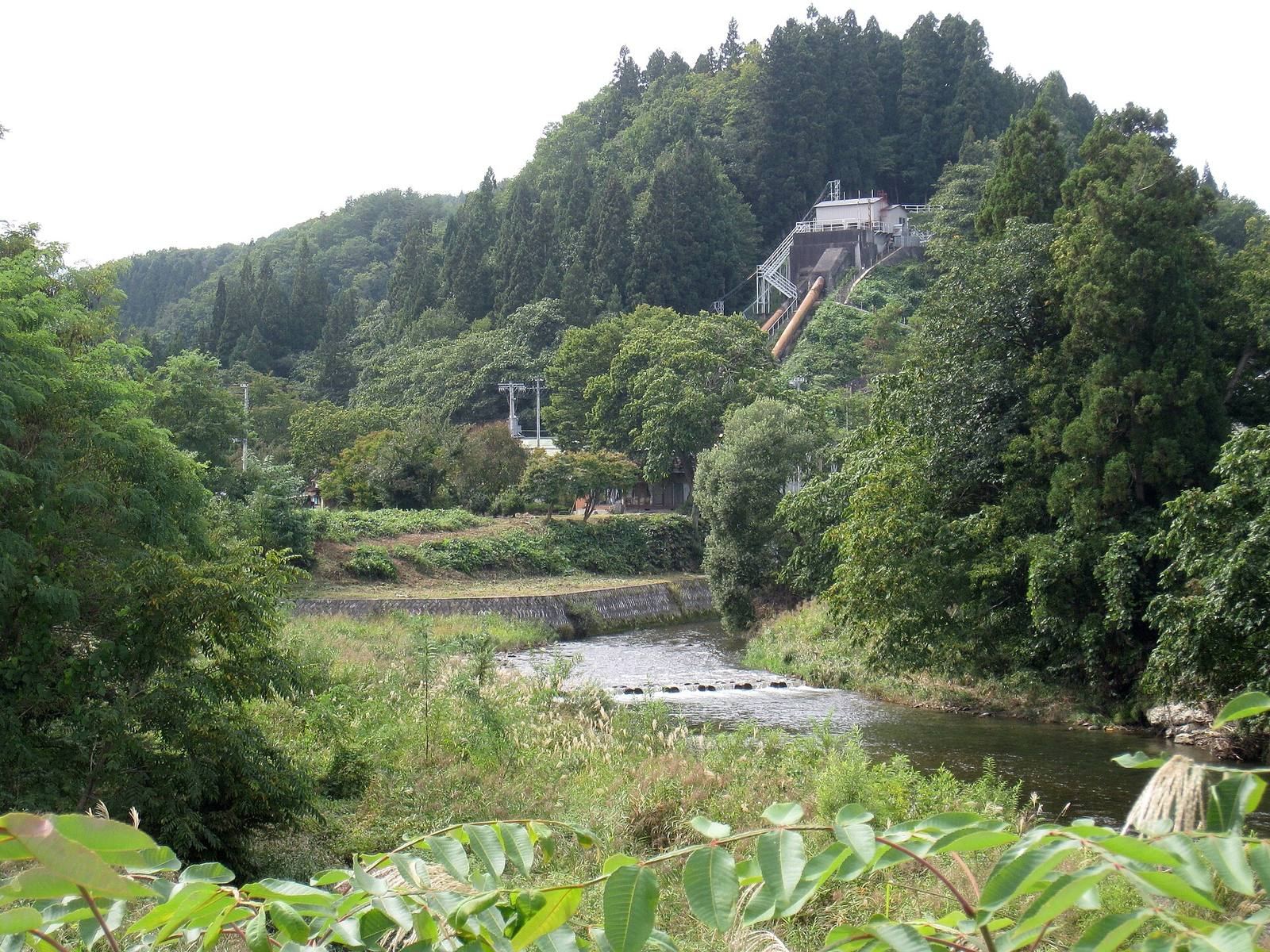
A hydroelectric power station built in 1920 occupies the eastern end of the castle hill. It remains operational and is recognized for its modern industrial heritage value.