Oldenburger Wall: The Fortified Slavic Settlement of Starigard


Site at a Glance
- Rating
- 4.2
- Popularity
- Very Low
- Country
- Germany
- Primary era
- Medieval
- Eras represented
- Medieval
- Civilizations
- Unclassified
- Site type
- Military
- Remains
- Wall
On this page9 sections
History
Wagrian Foundation
Oldenburger Wall in Oldenburg in Holstein, Germany, preserves the remains of Starigard, a fortified settlement built by the Slavic Wagrians between AD 680 and 700. The Wagrians, a Slavic population of eastern Holstein, had moved into the region alongside related Abodrite groups. Starigard became their political center and is regarded as the origin of the modern town of Oldenburg in Holstein.
The original fortress had an oval plan, with an outer settlement, or foreburg, extending to the east. After AD 750, the foreburg was enlarged in the same manner as the main fortress and incorporated into the wider complex. The Slavic princely residence was then transferred into the former outer settlement, reflecting the development of Starigard as a major center of Wagrian power.
Trade and Christianization
Starigard stood beside waterways that were once navigable and connected with the Baltic Sea through branches of the Oldenburger Graben. This setting supported long-distance trade reaching Sambia and the lands around Kyiv. The settlement became one of the major centers on the Baltic coast. Its name meant “Old Castle,” while its Low German form later developed into Oldenburg.
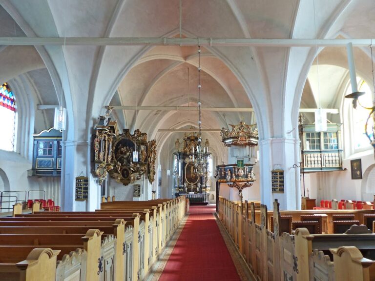
Adam of Bremen first recorded Starigard in 1076, describing it as a large city of the Wagrian Slavs beside the Baltic Sea. During the Christianization of the region, the settlement also became a bishop’s residence, the seat of a bishop’s authority, within the Hamburg archdiocese, a major medieval institution responsible for Christian missionary and administrative activity in northern Europe. St. John’s Church was built about 1150, but the episcopal seat moved to Lübeck in 1160 after the Slavic population had been subjugated.
Danish Conquest and Later Castles
Danish forces under King Valdemar I captured and destroyed the Slavic fortress in 1148 or 1149. Helmold of Bosau, writing between 1168 and 1171, described an attack by Christopher, a son of the Danish king. In his account, Starigard’s coastal landing places and other buildings were destroyed before the town was plundered.
After 1200, King Valdemar II of Denmark built a new castle on the remains of the Slavic fortifications, following the Battle of Stellau. After the Danish defeat at the Battle of Bornhöved in 1227, the castle passed to Adolf IV of Schaumburg and Holstein. In 1261, amid conflicts involving Count Gerhard I of Holstein-Itzehoe, Duke Eric I of Schleswig, and King Eric V of Denmark, the castle was besieged and destroyed. No new fortifications were built there in the following centuries.
Investigation and Reconstruction
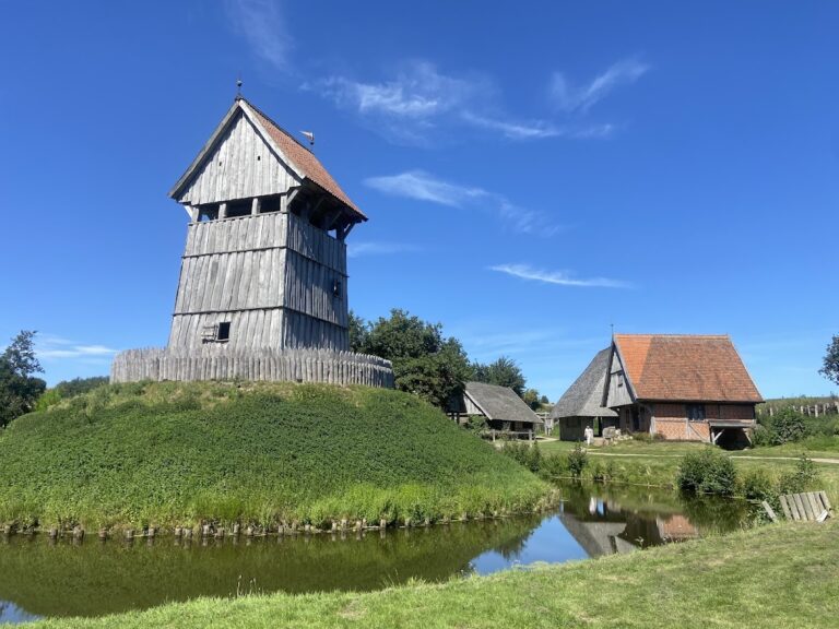
Large parts of the ramparts were leveled from 1833 onward. Archaeological investigations followed from 1953 to 1958 and again from 1973 to 1986, with Karl Wilhelm Struve as the first archaeologist to investigate and document the complex. In 1986 and 1987, portions of the ramparts were reconstructed by adding earth. The monument, its excavation finds, and the lifeways of its Slavic inhabitants are presented at the nearby Oldenburger Wall Museum.
Remains
Oval Rampart and Fortified Interior
The archaeological monument is an oval rampart fortification oriented from west to east. In its final form, it measured approximately 220 metres from west to east and about 100 metres across. Ramparts survive along the northern, eastern, and western sides, rising as much as 18 metres above the surrounding terrain while standing only a few metres above the interior. On the southern side, the fortified area merges into the terrain of modern central Oldenburg without a marked change in elevation. A building stands within the rampart complex.
The fortress used a Slavic construction method based on timber box frameworks packed with earth. The earliest ringwall formed the western part of the complex, while the outer settlement extended eastward. Portions of the surviving earthworks reflect the partial reconstruction carried out in 1986 and 1987 after earlier leveling had altered large areas of the monument.
Danish Castle Layout
The later Danish castle had northern and southern sections divided by ditches, with a fortified strip between them. Bridges connected the three sections. These arrangements formed a distinct castle layout within the earlier Slavic fortification area.
Waterlogged Surroundings
The surrounding landscape is a partly waterlogged lowland crossed by numerous watercourses. These channels are silted-up and drained remnants of formerly navigable routes that connected with the Baltic Sea through the Oldenburger Graben. Their presence helps explain the settlement’s physical setting and its former links with Baltic waterways.
Nearby sites