Burgen von Stöfs: Wagrian Hillforts in Germany


Site at a Glance
- Rating
- 3.3
- Popularity
- Very Low
- Country
- Germany
- Primary era
- Medieval
- Eras represented
- Bronze Age, Medieval
- Civilizations
- Unclassified
- Site type
- Military
- Remains
- Fort
On this page7 sections
History
The Burgen von Stöfs in Germany are two hillforts associated with the Wagrians, a medieval West Slavic population of eastern Holstein, and with Slavic nobility. The fortifications stand on the same ridge about 2 kilometres north of Lütjenburg, where their elevated position connected them with a wider archaeological landscape of burial mounds and later silver finds.
Stöfs 1 and the Slavic Landscape
Stöfs 1, known as the Old Castle, is linked by its form and setting to Slavic hillforts. Its association with a nearby burial mound group became clearer after the archaeologist K. Hucke investigated the cemetery in 1959 and confirmed the Slavic character of the graves. The relationship between the fortification and the cemetery is based on the correspondence between the site type and other Slavic fortified settlements.
Middle Slavic Evidence
Stöfs 2 produced several potsherds from the Middle Slavic period, dating to the ninth or tenth century. Two nearby finds of hacksilver, cut or fragmented silver that circulated by weight, belong to the eleventh century. One came from Weberkoppe near Stöfs, while the other was found in the Scherfendiek field near Waterneverstorf beside the Großer Binnensee. Together, these finds place the fortifications within a wider Slavic-period landscape around the ridge and inland water.
Remains
The two fortifications occupy a wooded ridge called Alte Burg, which runs from southwest to northeast at about 35 metres above sea level. The ridge is highly visible in the surrounding landscape. The Kossau River follows its foot and reaches the Großer Binnensee at the northeastern end, while old cultivation beds about 5 metres wide survive south of the path between the two sites.
Stöfs 1
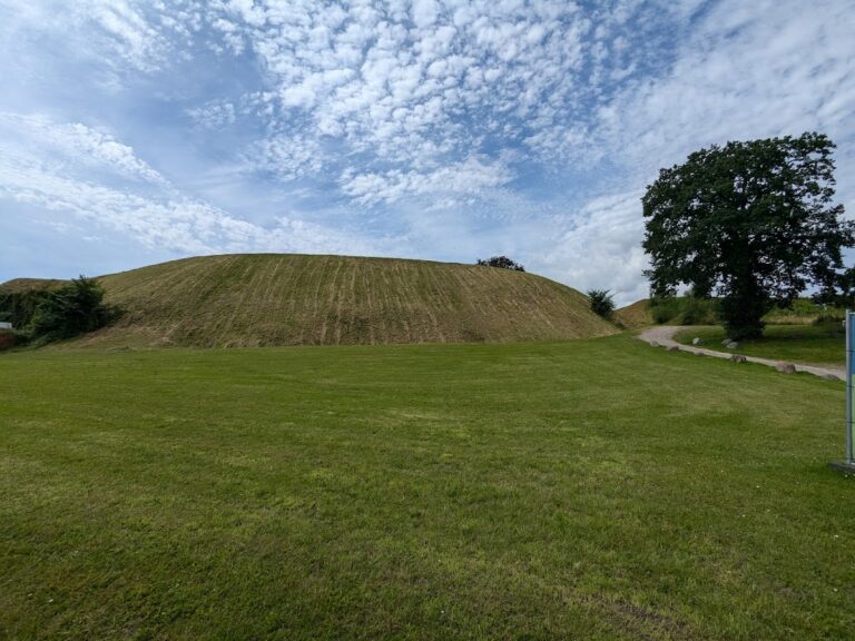
Stöfs 1 forms two concentric semicircular earthworks. The open southern side rests against a steep slope, with the Kossau River winding below. The outer rampart measures about 210 metres between its ends, and the inner rampart has a corresponding diameter of about 120 metres. Each is accompanied by an outer ditch. The ramparts rise to approximately 2 metres where they meet the slope and become lower along their curved sections. In the swampy northeastern ground, parts of the earthworks are interrupted. A probable Bronze Age burial mound lies between the two ramparts.
Burial Mound Cemetery
West of Stöfs 1, on the steep descent toward the Kossau, is a closely grouped cemetery of 53 low and medium-sized burial mounds. Several of the larger mounds preserve traces of square stone borders at their bases. Two of the larger mounds are probably Bronze Age, while the graves investigated in 1959 established a Slavic character for part of the burial-mound group.
Stöfs 2
Stöfs 2 lies about 700 metres northeast of the Old Castle, where the ridge narrows and curves slightly toward the Großer Binnensee. It is a section-rampart fortification, meaning that a defensive earthwork blocks part of a ridge or plateau. On the western side, a straight and broad rampart with a ditch closes the plateau; the rampart is about 1.5 metres high.
The earthwork is strongest where it reaches the slope descending toward the inland water. Toward the southwest, it gradually fades and does not fully close the high ground, probably because this section was levelled in earlier times. The surviving rampart, its ditch, and the narrow ridge together show how Stöfs 2 used the natural slope and the shape of the plateau for defence.
Nearby sites