Naganeupseong: A Walled Administrative Town in South Korea
Site at a Glance
- Country
- South Korea
- Primary era
- Medieval
- Eras represented
- Medieval, Modern
- Civilizations
- Joseon
- Site type
- Military
- Remains
- Fortified Town
On this page12 sections
History
Settlement and administration
Naganeupseong is a historic walled village in South Korea. Its settlement dates to Baekje, a Korean state that lasted from 18 BC to AD 660. During the Goryeo period (918–1392) and the Joseon dynasty (1392–1910), the village served as the administrative center of Nagan district. It remained the center of Nagan County until 1908.
Building the defenses
Repeated attacks by seaborne raiders known as Japanese pirates during the late Goryeo period led to efforts to protect the town. In 1397, General Kim Bin-gil, a Nagan native, built an earthen wall around it during the reign of King Taejo, founder of the Joseon dynasty.
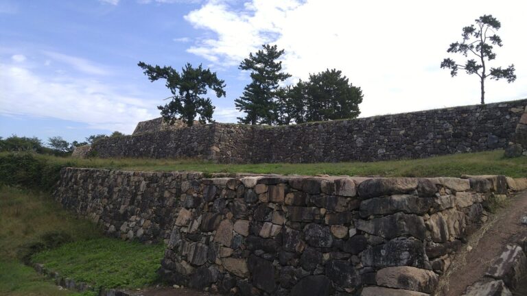
Beginning in 1424, during the reign of King Sejong, the earthen defenses were enlarged and replaced with stone over several years. These works established the stone enclosure that surrounds the historic town.
Joseon-era life and preservation
Im Gyeong-eop served as governor of Nagan from 1626 to 1628. After his death, residents built a memorial house for him in the village. Naganeupseong was also associated with nongak, Korean farmers’ music, and pansori, a narrative vocal performance accompanied by a drum. Oh Tae-seok, a pansori performer popular during the Japanese colonial period, was born in the village.
The historic settlement was home to 950 people in 337 households. It remains inhabited, with 288 residents in 90 households, and preservation projects have retained 231 houses in their original condition. Naganeupseong became a national historic site, No. 302, in 1983 and was on UNESCO’s World Heritage Tentative List by 2011. Nine nineteenth-century thatched houses were also designated as national heritage for their value as examples of Joseon-period architecture in South Jeolla.
Remains
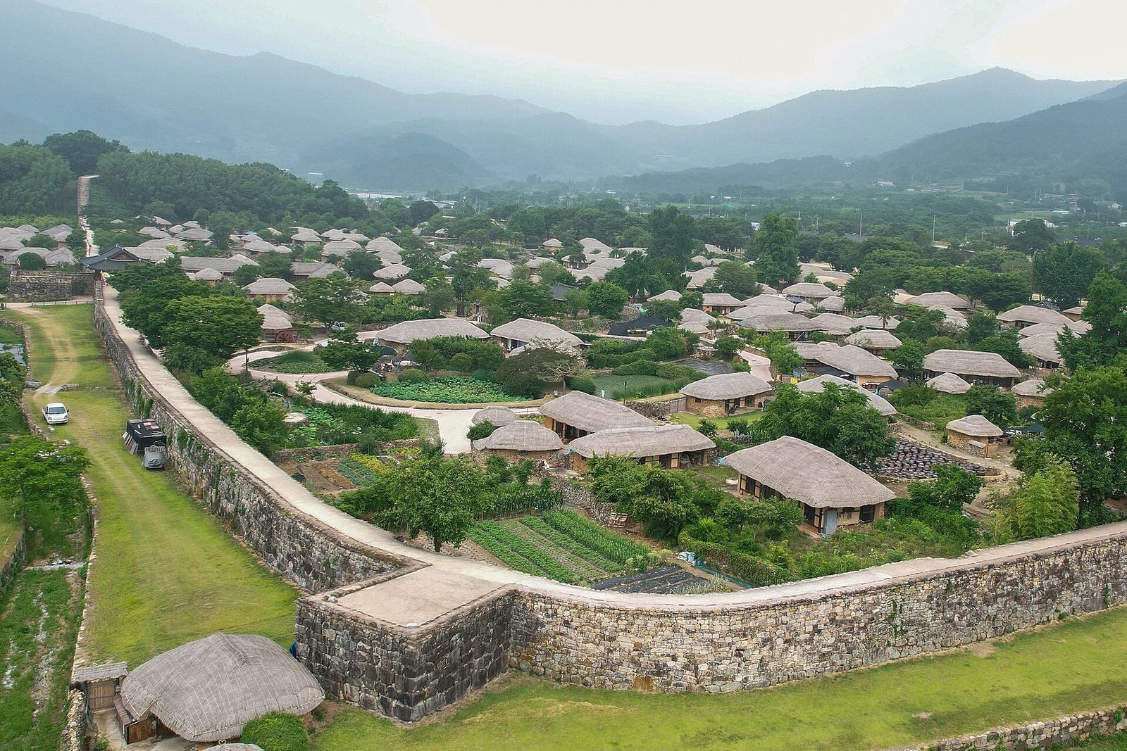
The walled town occupies the northern part of a level plain surrounded by mountains. Its enclosure measures about 450 by 320 metres and contains three neighborhoods. Government and administrative buildings occupy a northeastern precinct of approximately 59,400 square metres, about one-third of the enclosure; the village occupies the southwestern remainder.
Perimeter and entrances
Perimeter wall
The stone perimeter wall extends for about 1,410 metres. Some sections project outward to strengthen the defenses against attack, and the wall can be traversed along its full length.
Town entrances
Three entrances connect the enclosure to the surrounding area and link with its major internal roads. Two have gate buildings that served as guard structures. The third is an open entrance flanked by buildings.
Residential village
Houses
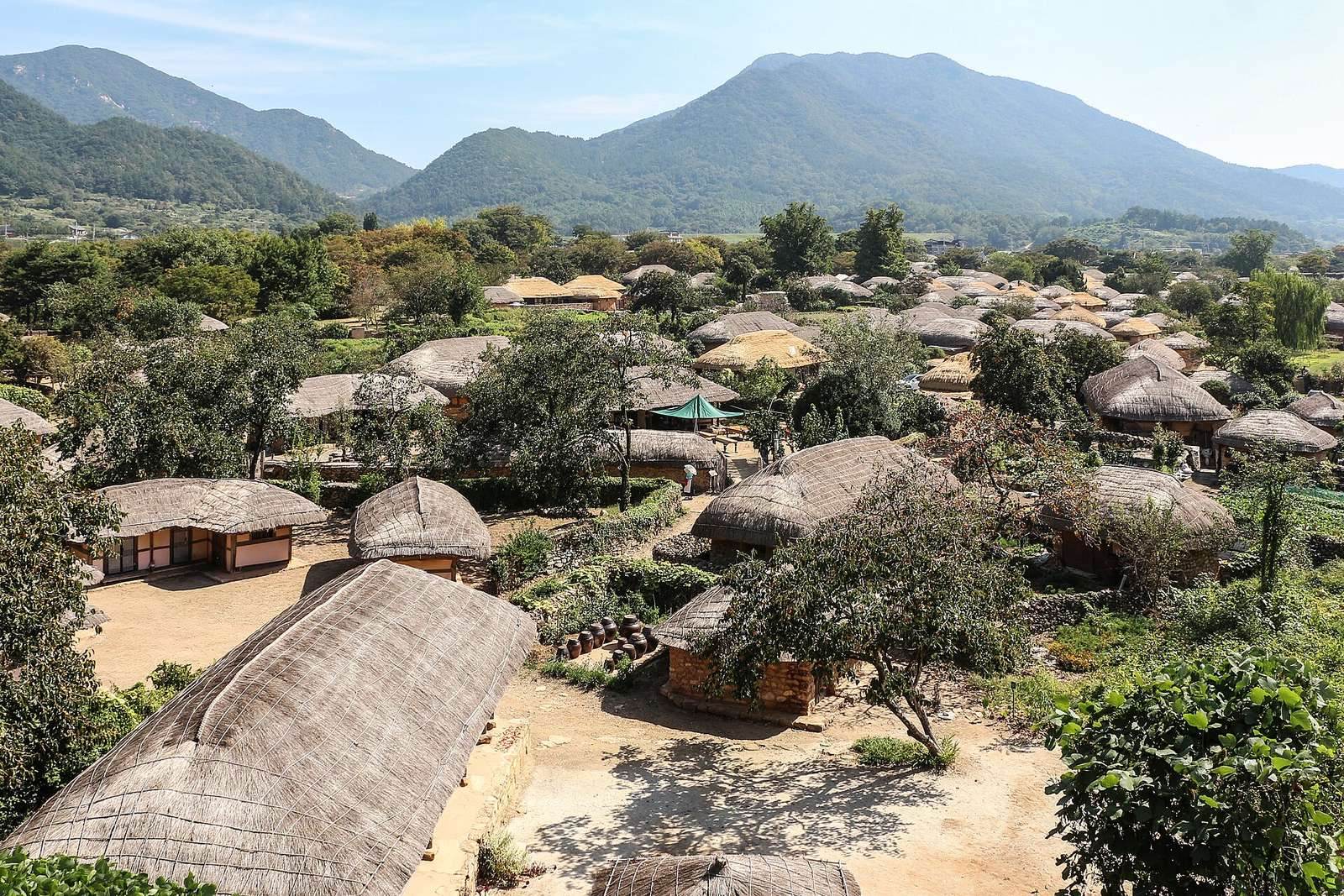
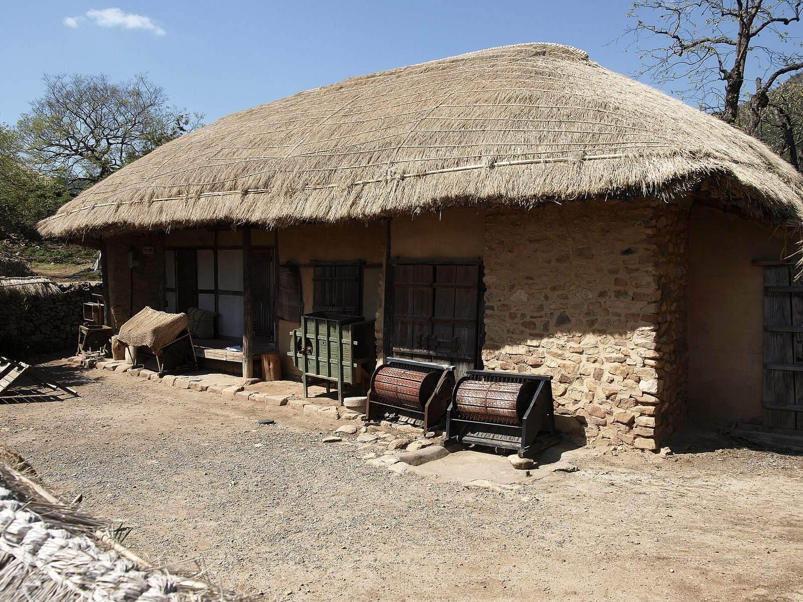
Small, varied plots contain traditional hanok (Korean houses) built from wood, stone, and clay. Thatched roofs are characteristic, while some houses have clay-floored rooms and Korean-style verandas. House and courtyard arrangements vary with the crafts practiced by residents. Nine surviving thatched-roof houses date to the nineteenth century.
Village facilities
Other features include a centrally located bakery, a cooking area, several ponds, and an installation powered by a waterwheel. The village also contains Im Gyeong-eop’s memorial house and the preserved home of Oh Tae-seok.
Administrative precinct
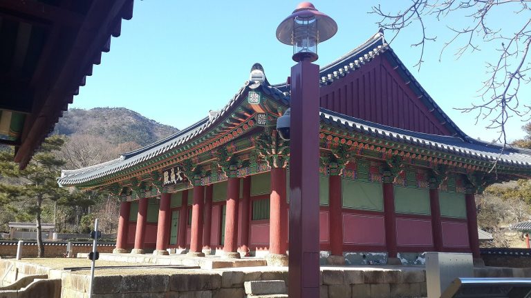
The northeastern precinct contains wooden buildings with traditional Korean tiled roofs and stone foundations. These include residences for administrators and government employees, a centrally situated temple with a large barrel drum, and a prison with implements used to torture prisoners.