Longwy City Walls: A Vauban-Era Fortified Town
Site at a Glance
- Country
- France
- Primary era
- Early Modern
- Eras represented
- Early Modern, Modern
- Civilizations
- French
- Site type
- Military
- Remains
- Fortified Town
On this page15 sections
History
The Longwy City Walls are a late-seventeenth-century fortified town in France, laid out between 1679 and 1684, with construction continuing through 1690. Built by French engineers for military defence, its defenses and planned urban fabric became part of the modern city of Longwy.
Lorraine stronghold
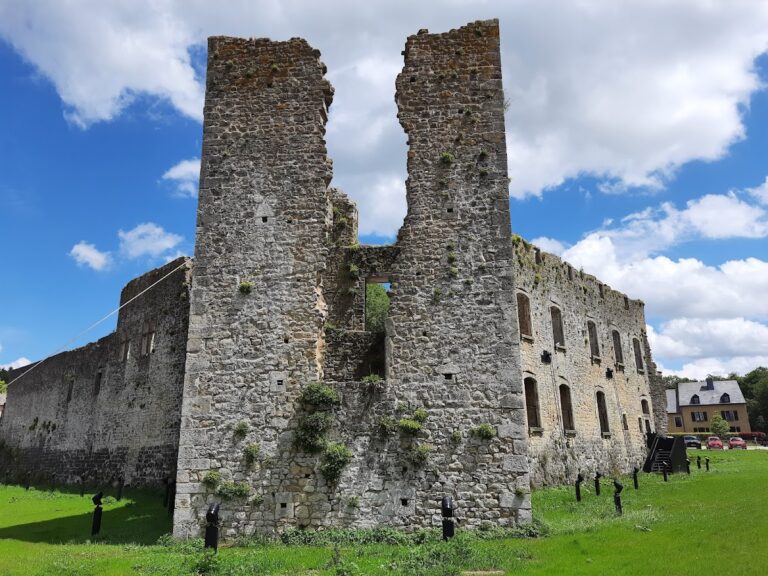
The dukes of Lorraine built a fortified castle overlooking Longwy to protect the northern edge of their territory. A high town gradually developed around the castle.
French foundation
After a series of sieges, Longwy was annexed to France under the Treaty of Nijmegen, signed by France and the United Provinces on 19 August 1678. The treaty marked the end of the Franco-Dutch War, a conflict between France and the Dutch Republic. French king Louis XIV commissioned a new fortress in open country, and the old castle and high town were demolished to make way for it.
Sébastien Le Prestre de Vauban, a French military engineer known for designing and improving fortifications, and Thomas Choisy were entrusted with the project. Claude Boisot directed construction on site, with military engineers Jean-Baptiste Favar, Louis de Bonnafau, and Alexandre de Chermont also involved.
Defence and warfare
Defensive improvements begun in 1789 were still unfinished when Longwy was besieged in 1792. A cavalier, an elevated platform within a defensive work, was built inside a hornwork, an outer defense with projecting arms.
During the Franco-Prussian War, fought between France and Prussia in 1870-1871, the governor’s residence was almost entirely destroyed in 1871. The surviving part was converted into a fodder store. A siege hospital was built between bastions 4 and 7 after the war.
Damage, expansion, and heritage status
Bombardments damaged the fortress in 1914 and 1944. In 1914, the Porte de Bourgogne was destroyed and the wall sections around it collapsed. A road was cut through bastion 1, the Bourg bastion, between 1920 and 1926, then extended north in 1930. Unlisted sections of the defenses were demolished and filled in during 1921-1926 and again in 1953-1954 to allow the town to expand. The hornwork and the detached work numbered 35, known as Fort de Bitche, were demolished in 1958. The separate defensive work numbered 32 at Bourgogne was demolished in 1827.
The wider ensemble was classified as a French historic monument in 1921. The Porte de France was classified in 1913, and several bastions and other works in 1933; a 2026 order supplemented these classifications. Longwy’s fortifications became part of the Vauban network inscribed as a UNESCO World Heritage property on 7 July 2008. The site was placed on the List of World Heritage in Danger in 2018.
Remains
Plan and central town
The fortified town occupies a plateau overlooking the Chiers valley and lower Longwy. Its plan is hexagonal, with a star-shaped perimeter of twelve points. The site covers 300,000 m², while its UNESCO buffer zone covers 1,880,000 m². Inside the walls, buildings and installations are arranged in quadrilaterals around a large central square, now Place Darche.
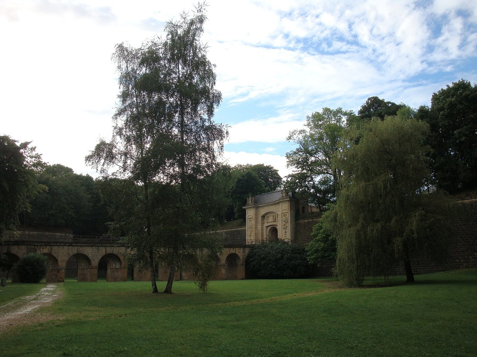
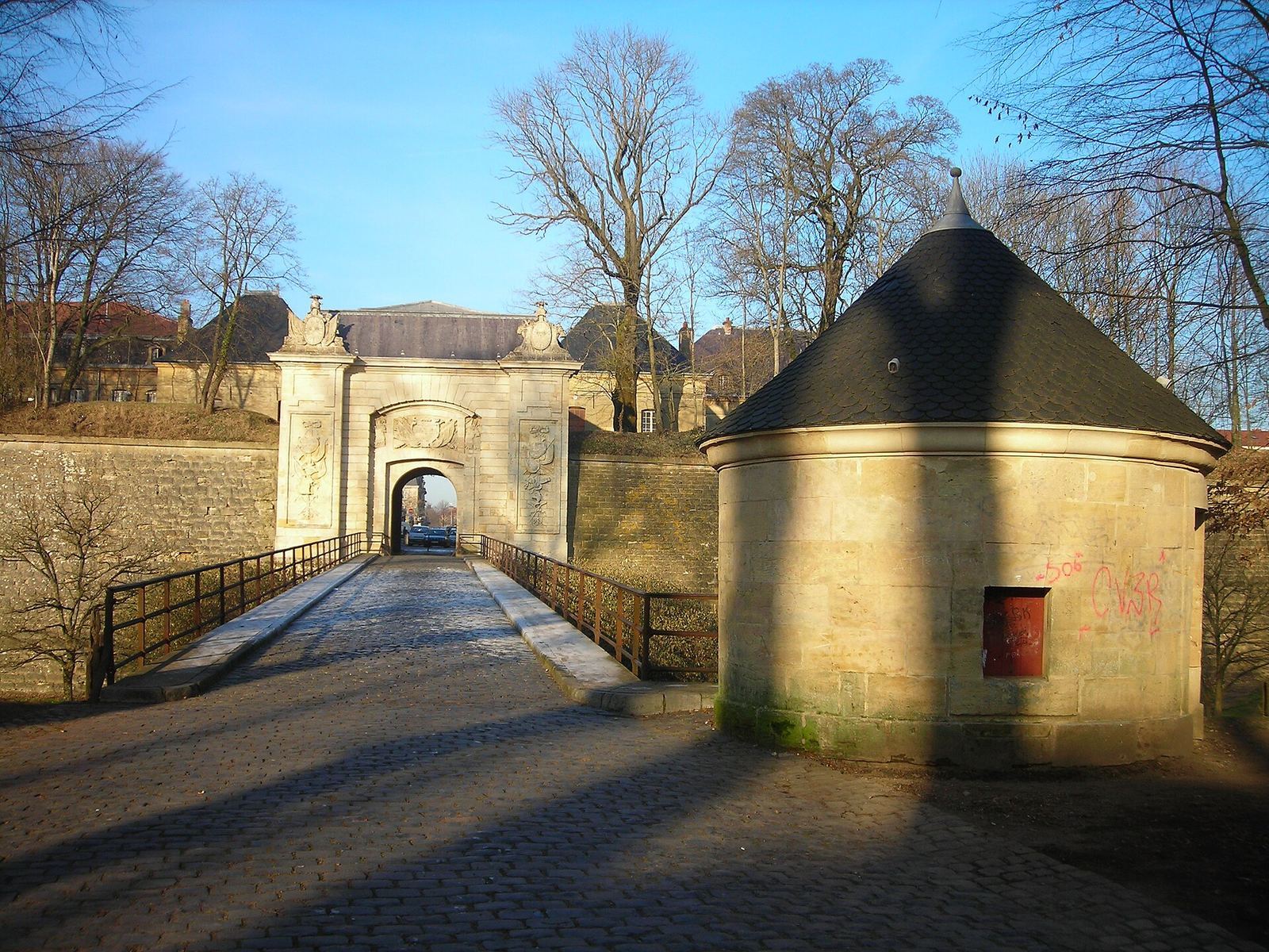
Porte de France
The surviving Porte de France bears the date 1683, which is considered apocryphal. Its fixed bridge was rebuilt in 1760, the passage was extended in 1822, and the gate was restored in 1859. A casemate, a fortified chamber, was added in 1883.
Bastions and walls
The principal bastions, projecting defensive structures, are named Château, Bourg, Notre-Dame, and Saint-Martin. They are linked by curtain walls, the wall sections between bastions. Bourg is bastion 1; bastion 3 survives in part, while bastion 6 survives in full. By 2019, more than half of the fortified enclosure and bastions, along with the Porte de France, were well preserved.
Outer defenses
Outer work 7
An outer defense numbered 7 stands before the main line. Reinforcement work was carried out behind it in 1827, and a staircase was installed at its rear after 1870-1871.
Detached works and redoubts
Separate defensive works at Bourgogne, the Porte de France, and Précipice were added between 1730 and 1751. A redoubt, a small enclosed defensive fortification, occupied the former castle site; it was built during the works of 1789-1792 and improved in 1884. A second redoubt, called Romain or Bel Arbre, was built in 1884 on the old Romain road.
Buildings and installations
Civic and military buildings
The fortress included a church, an arsenal, eleven barracks, and five wells. The central well, church, and town hall were associated with Place Darche. By 2019, most buildings attributed to Vauban remained visible, including the town hall, church, barracks, central well, and bakery.
Former military bakery
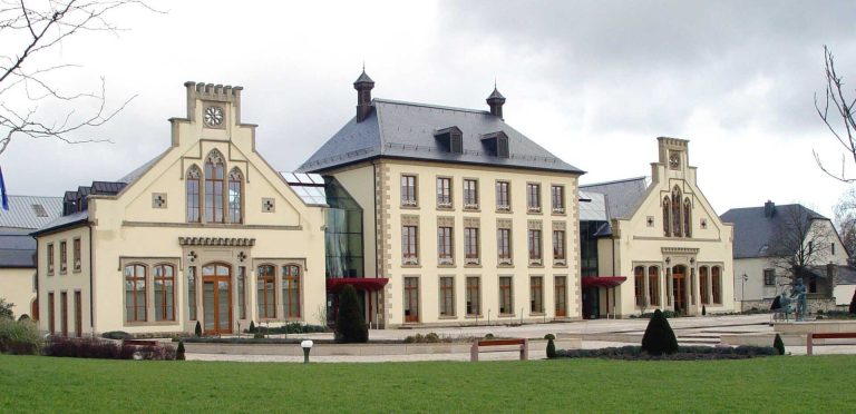
The former military bakery houses the Longwy enamel museum, which presents the history and techniques of enamel and faience production at the Longwy factory. Faience is glazed earthenware.