Musashi Kokufu: The Provincial Capital of Musashi Province
Site at a Glance
- Rating
- 3.9
- Popularity
- Medium
- Country
- Japan
- Primary era
- Medieval
- Eras represented
- Medieval, Early Modern
- Civilizations
- Japanese, Tokugawa
- Site type
- City
On this page12 sections
History
Musashi Kokufu, the provincial administrative capital of Musashi Province, stood in present-day Fuchū, Japan. From about the beginning of the Nara period through the middle of the Heian period, it served as the province’s political, cultural, and economic center. Its main government precinct was built in the first half of the eighth century as part of the Ritsuryō system, Japan’s centralized administration organized through legal codes and provincial government.
Formation and provincial administration
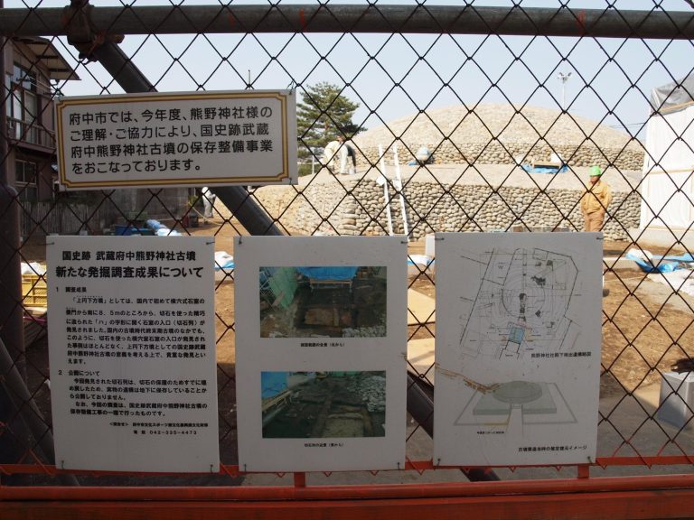
The capital’s establishment is thought to have been closely connected with nearby burial mounds from the Kofun period, particularly the Musashi Fuchu Kumano Shrine Kofun. A separate interpretation of the area’s early religious landscape proposes that two temples were established before the state-sponsored Buddhist temples found across Japan’s provinces, alongside a provincial government hall.
The government complex had fallen into ruin by about the end of the tenth century. Its precise location remained uncertain for centuries. A tenth-century Japanese dictionary, the Wamyō Ruijushō, placed the provincial capital in Tama County without identifying a specific site, and at least five locations were considered from the Edo period onward. Excavated remains, the complex’s scale, and its position beside the Kōshū Kaidō, a highway linking Musashi with Kai Province, led scholars to identify Fuchū as the capital.
The Tokugawa palace
In 1590, Tokugawa Ieyasu built Fuchu Palace on the former government site. The Edo-period gazetteer Musashi Meishō Zue relates that after Toyotomi Hideyoshi assigned the eight Kantō provinces to Ieyasu following the fall of Odawara, Ieyasu chose Edo for his castle and ordered hunting lodges at Fuchū and Kawagoe. The gazetteer connects his choice of the former government grounds at Fuchū with the town’s history as a provincial administrative center.
Ieyasu, his son Hidetada, and his grandson Iemitsu used the palace as a place to rest or stay during hawking and ayu-fishing trips. Ieyasu and Hidetada also held discussions there, and the buildings served as a tea house. In 1617, during the transfer of Ieyasu’s coffin from Kunozan to Nikko, it rested at the palace from March 21 to 22 while religious services were held. A fire destroyed the palace in 1646.
Archaeological identification and protection
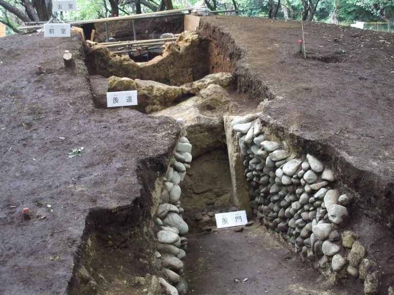
Investigations beginning in 1975 gradually clarified the government precinct’s extent and layout. Work in 1995 identified as a temple site an area previously proposed as part of the precinct’s eastern edge, refining estimates of its boundary. Later excavations clarified the central area, the governor’s residence and palace site, and the location of the government complex’s west gate. The government precinct became a National Historic Site in 2009; the governor’s residence and Fuchu Palace area was added in 2011.
Remains
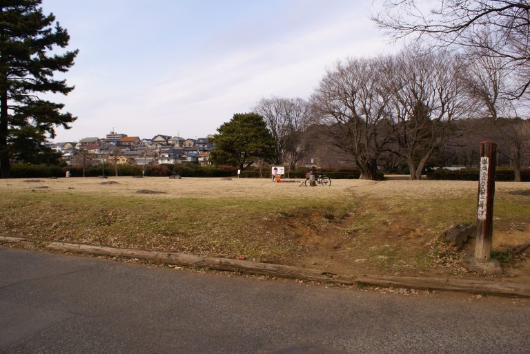
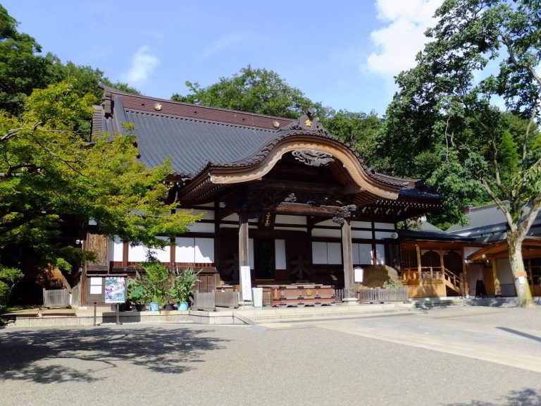
The remains lie on the Musashino Plateau, near an escarpment associated with the Tama River. The government precinct’s western half falls within Ōkunitama Shrine’s grounds, while housing covers its eastern half. Ditches and building foundations outline the former complex and connect it with a much wider area of settlement.
Government precinct and settlement
Government core
Ditches traced near the shrine and the old Kōshū Kaidō help define a precinct measuring about 300 meters from north to south and 200 meters from east to west. Its northern core was roughly 100 meters square and is understood to have been the main setting for the governor’s ceremonies and political work. Ditch remains mark its northern, southern, and western sides.
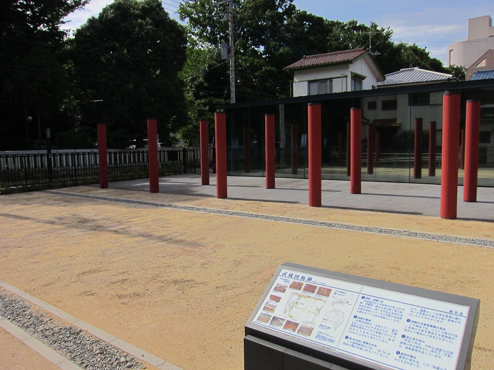
Foundations for wooden pillars indicate a U-shaped arrangement of buildings within the core. Two large structures were aligned north to south and oriented east to west, with three other buildings arranged north to south. Part of the pillar remains has been recreated in a prepared archaeological display area.
Wider settlement
Archaeological remains associated with the provincial capital extend about 6.5 kilometers east to west. Within a smaller area measuring about 2.4 kilometers east to west and 1.2 kilometers north to south, excavations have identified more than 4,000 pit dwellings. The surrounding population grew sharply from the late seventh century through the eighth. Finds from the capital area include roof tiles, ancient bricks, and round inkstones. Tiles and stones bear the names of 19 of Musashi’s 21 counties, marked by incising, engraving, or ink.
Temple and governor’s residence
Earlier temple
East of Ōkunitama Shrine are remains of an earlier temple. They include the central foundation stone for a pagoda, old roof tiles, a platform for a Buddhist hall, and a feature interpreted as a support for banners. The temple’s foundation has been placed in the Hakuhō period, the late seventh and early eighth centuries. Some of its roof tiles are displayed at the Fuchū history museum.
Governor’s residence
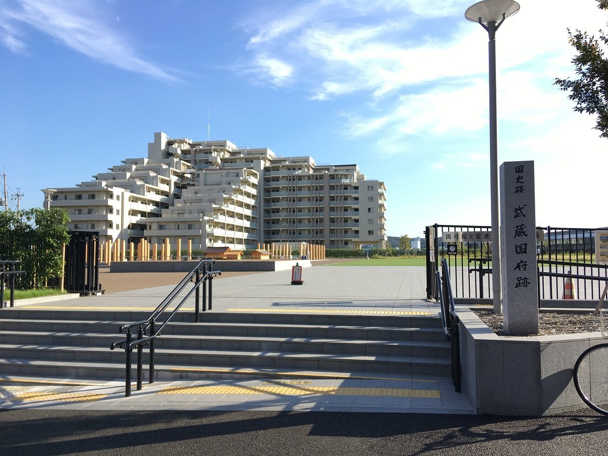
The governor’s residence stood southwest of the government precinct, immediately east of Fuchū-Hommachi Station and between the station and Ōkunitama Shrine. It dates to around AD 700. A historic plaza presents the residence and the later palace through a model of the residence at one-tenth of its estimated size and virtual reconstructions, including a scene of Ieyasu hawking.
Fuchu Palace
The palace stood on Goten-yama, a site with a view of Mount Fuji. A route that carried water from the Tama River passed the Palace Slope and remains known as Tea House Road. Excavation of the palace site uncovered a well containing a fragment of a decorative roof-end tile with the Tokugawa hollyhock crest and bowls in Shino, a Japanese ceramic style known for its pale glaze.