Moydrum Castle: A Gothic Revival Country House in Ireland
Site at a Glance
- Rating
- 3.7
- Popularity
- Very Low
- Country
- Ireland
- Primary era
- Modern
- Eras represented
- Early Modern, Modern
- Civilizations
- British, Irish
- Site type
- Domestic
- Remains
- Castle
On this page5 sections
History
The Handcock estate
Moydrum Castle is a ruined Gothic Revival mansion in Ireland, just east of Athlone in County Westmeath. Completed in 1814, it was created by enlarging and remodelling an existing Handcock family house dating from about 1750, and served as the family residence until 1924. The estate formed part of the Moydrum demesne, a large landed property whose name means “plain of the ridge.”
The English Crown granted the Moydrum lands to the Handcock family of Devon during the Cromwellian plantations of Ireland. These seventeenth-century programmes involved the confiscation and redistribution of land under the government associated with Oliver Cromwell, together with settlement by English colonists. The Handcocks later became one of the prominent landowning families in the area.
William Handcock represented Athlone in Grattan’s Parliament, the Irish Parliament that existed before the Acts of Union of 1800 united Ireland with Great Britain. He initially opposed the union but later supported it after receiving a promise of a peerage. He became the 1st Baron Castlemaine in 1812, and commissioned the architect Richard Morrison to remodel and enlarge the family house at Moydrum.
In 1837, Samuel Lewis described the result as a handsome castellated mansion in an extensive demesne beside a small lake. By the 1880s, during the tenure of the 4th Baron, the Moydrum barony covered 11,444 acres, approximately 46.3 square kilometres. The Lords Castlemaine were also prominent members of the Lough Ree Yacht Club. Major G. S. Handcock served as its honorary secretary and chaired a committee in 1920 that developed an 18-foot one-design dinghy for the Shannon yacht clubs.
War, destruction, and later history
Moydrum Castle became a target during the Irish War of Independence, the conflict fought against British rule from 1919 to 1921. On 20 June 1921, Major-General Thomas Stanton Lambert, a British Army officer, was killed near Moydrum by an IRA flying column. The Irish Republican Army, or IRA, was the republican military organisation fighting British rule during the conflict. The group had intended to capture Lambert for a planned prisoner exchange involving General Seán Mac Eoin.
After several farmsteads in southern Westmeath were burned by the Black and Tans, a temporary British constabulary force associated with reprisals and attacks on civilian property, local IRA members chose Moydrum Castle as a symbolic target. On the night of 3 July 1921, they expelled Lord Castlemaine’s wife, daughter, and servants, allowing them a short time to remove valuable belongings. The castle was then set on fire and completely destroyed.
Following the creation of the Irish Free State, the Irish Land Commission, the state body that redistributed and reorganised much landed property, divided, improved, and sold much of the barony’s land. Lord Castlemaine, his wife, and their family did not return to Moydrum. The castle is privately owned and remains a ruin.
In 1984, the photographer Anton Corbijn photographed the ruins for the cover of U2’s album The Unforgettable Fire. The image used sepia and infrared effects and closely reproduced a photograph from Simon Marsden’s 1980 book In Ruins: The Once Great Houses of Ireland. Compensation was subsequently paid to Marsden.
Remains
The castellated mansion and demesne
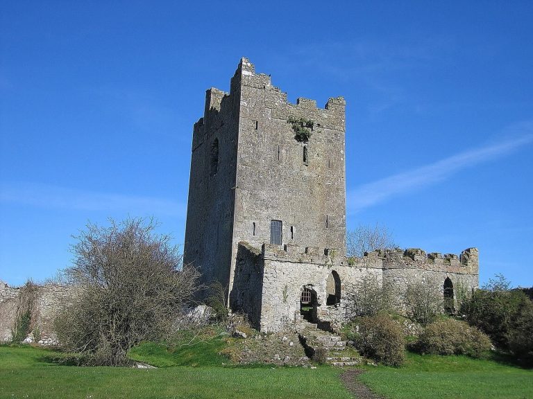
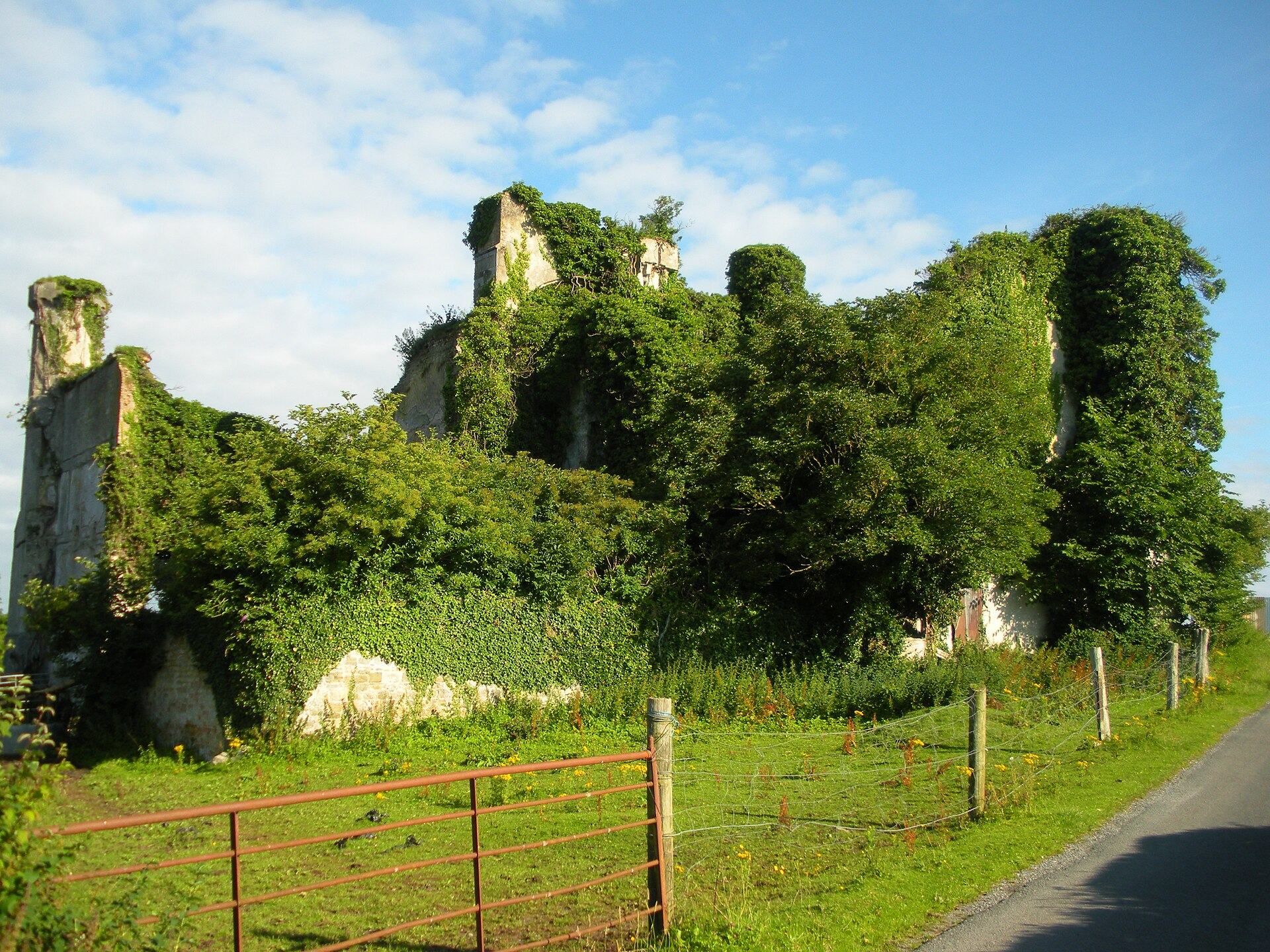
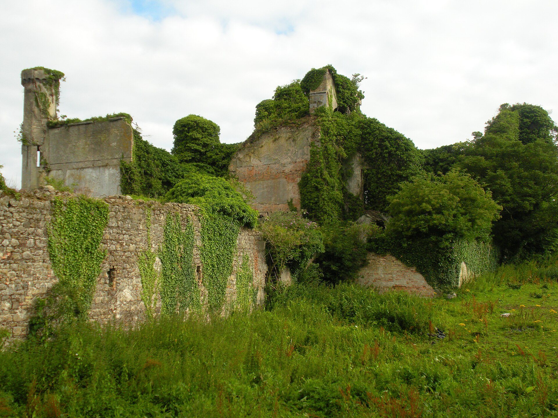
Moydrum Castle was a substantial country mansion in the Gothic Revival style with Renaissance influences. The building developed from the earlier Handcock house through Morrison’s enlargement and remodelling, completed in 1814. Its castellated design included square turrets at each corner, giving the residence the fortified appearance associated with the architectural style.
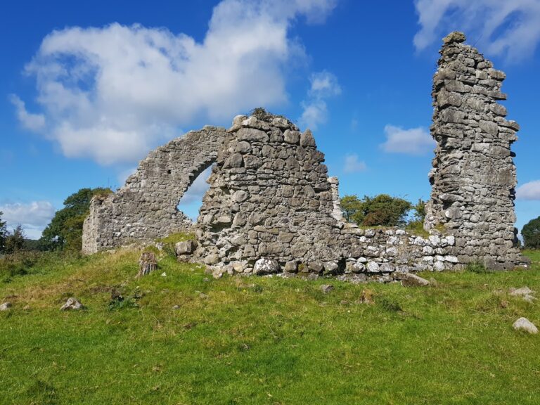
The castle stood beside a small lake within an extensive, wooded demesne. Its wider barony covered 11,444 acres, or about 46.3 square kilometres, in the nineteenth century. The building is now in ruinous condition, and its principal facade was covered with climbing ivy in 2010.