Minoa: A Fortified Outpost at the Entrance to Megara’s Harbor
Site at a Glance
- Popularity
- Very Low
- Country
- Greece
- Primary era
- Classical
- Eras represented
- Classical
- Civilizations
- Ancient Greek
- Site type
- Military
- Remains
- Fort
On this page8 sections
History
Minoa was an ancient fortified island or peninsula at the entrance to Megara’s harbor in Greece, although its precise location is unresolved. Greek tradition associated it with Minos, the mythical king of Crete, who landed there to avenge the death of his son Androgeos. The story says he then conquered the Megaris, the region around Megara, and captured Megara and its harbor at Nisaia.
Athenian outpost in the Peloponnesian War
During the Peloponnesian War, a prolonged conflict between Athens and its allies and the Spartan-led Peloponnesian League, Athens maintained a fortified lookout on Cape Budoron, at Salamis’s northwestern end. The position monitored Nisaia’s harbor. In the winter of 429/428 BCE, 40 ships from the League sailed out of the harbor intending to launch a surprise attack on Piraeus. After passing the cape, they changed course, attacked the lookout, and captured three Athenian triremes, warships propelled by three banks of oars.
In summer 427 BCE, the Athenian general Nikias landed on Minoa to improve surveillance of Megara’s harbor and prevent hostile ships from leaving. The Athenians captured the island and strengthened their position there.
In summer 424 BCE, Hippokrates brought 600 hoplites, heavily armed infantry soldiers, to Minoa by ship. Acting with Demosthenes, whose army had advanced overland, he captured Nisaia and the Long Walls, fortified links between Megara and its harbor. An armistice the following winter set the boundary between Megara and the territories held by Athens. When the Megarians retook Nisaia in 409 BCE, Minoa was probably abandoned.
Remains
Ancient descriptions place Minoa at the harbor entrance as an island near the mainland or a peninsula jutting from the coast. They associate it with a bridge or causeway across shallow or marshy ground, and with defenses overlooking the harbor approach. The coastline is thought to have changed as sediment accumulated, and the site’s location remains disputed.
Ancient descriptions
The geographer Strabo places the headland after the Scironian Rocks and before Nisaia in a west-to-east itinerary, a sequence understood to put Minoa west of the harbor. The travel writer Pausanias describes an island extending alongside Nisaia, though its size has been translated as either “long” or “small.” The historian Thucydides describes an island near the mainland, connected across shallows or marshland by a bridge or causeway.
Proposed locations
Methuriades and the hills
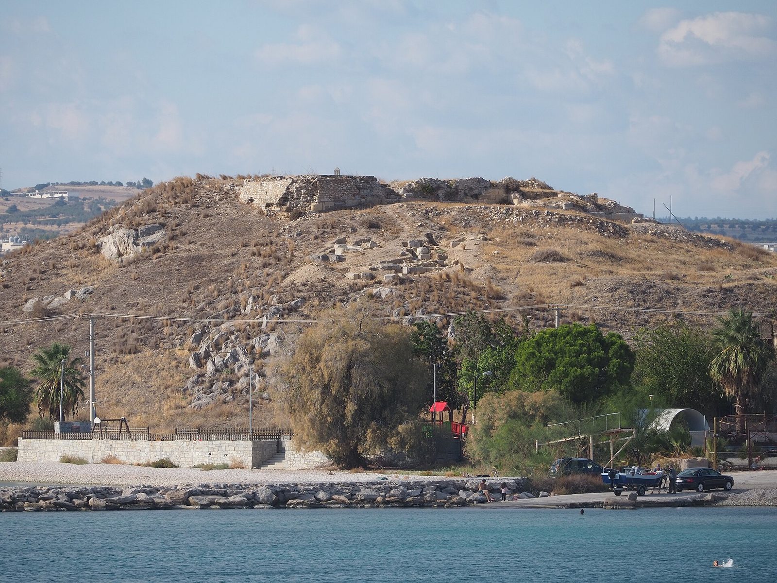
One proposed identification places Minoa among the Methuriades Islands. An alternative rejects this because the nearest island lies 150 metres from the mainland, across a channel 13 metres deep. It instead identifies Minoa with Palaiokastro Hill, west of present-day Pachi, and Nisaia’s elevated, fortified center with Agios Georgios Hill to the east. Another proposal reverses those assignments, placing Nisaia on Palaiokastro and Minoa on Agios Georgios. A related interpretation associates Minoa with the western wing wall of the Long Wall.
Pachi and Ticho
Other proposals locate Minoa on the peninsula at the western end of present-day Pachi harbor or on the Ticho peninsula east of the Agios Georgios ridge. In another interpretation, Ticho is the peninsula and the parallel island to its south, Trypika, also called Makronisos, is Minoa.
Harbor defenses
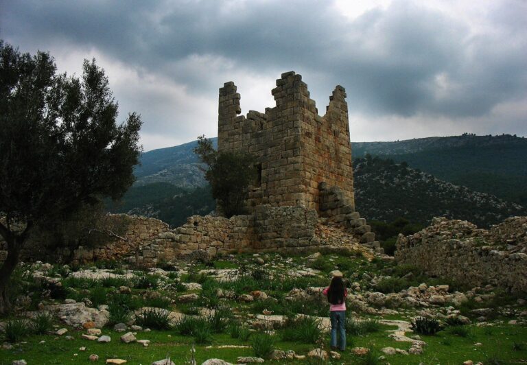
Two watchtowers guarded the harbor entrance. A bridge or causeway linked Minoa to the mainland; after the Athenians captured the island, they built a wall to protect this crossing and enlarged its fortifications. The accounts describe the defenses but do not establish the precise position of the structures within the competing proposed locations.