Aigosthena: An Ancient Fortified Port City in Greece
Site at a Glance
- Popularity
- Medium
- Country
- Greece
- Primary era
- Classical
- Eras represented
- Iron Age, Classical, Medieval, Early Modern
- Civilizations
- Ancient Greek, Byzantine, Ottoman
- Site type
- City
On this page14 sections
History
Aigosthena was an ancient fortified port city in Greece, on the Alkyonides Gulf, an inlet of the Gulf of Corinth. Its fortress was built in the second half of the fourth century BCE, and the city guarded a route from Boeotia toward the Peloponnese. Aigosthena belonged to Megara and stood near the borders of Attica and Boeotia, at the northern edge of Megaris, the ancient Greek region centered on Megara. The name also refers to the modern coastal settlement below the walls, Porto Germeno.
Classical Megaris and Spartan campaigns
The area appears to have been inhabited from the Geometric period of ancient Greek history. During the Classical period, Aigosthena formed part of Megaris. The harbor of Panormas, near modern Psatas and between Aigosthena and Paga, was a point of dispute between the two cities.
The Greek writer Xenophon recounts two Spartan retreats through Aigosthena. In 379 BCE, after a successful campaign against Thebes, the Spartan king Cleombrotus I withdrew from the fortress of Kreusis across Mount Cithaeron to Aigosthena. Strong winds forced his soldiers to leave their shields behind, and some loaded donkeys were thrown into the sea. In 371 BCE, after Thebes defeated Sparta at the Battle of Leuctra, Spartan forces again retreated by way of Kreusis. They met the army of the Spartan commander Archidamus at Aigosthena; Archidamus then marched to Corinth and dismissed his allies.
Construction of the fortress
The precise date and builders of the fortress remain uncertain. One proposal places its construction in 343 BCE, possibly with Athenian assistance after Athens and Megara allied against Thebes. Other proposals date the fortifications to after 370 BCE or to later in the fourth century. Suggested builders include Athenians and Macedonians. An attribution to Demetrius I Poliorcetes, a Macedonian king and military leader, depends on the view that he built the fortress rather than simply occupying it.
Federations and Roman rule
From 343 to 305 BCE, Aigosthena belonged to the Megarian confederation, a federation associated with Megara. It came under the Achaean League, a federation of Greek communities, from 243 to 224 BCE, then joined the Boeotian League in 224 BCE. When Megara returned to the Achaean League in 192 BCE, Aigosthena remained under the authority of a Boeotian community. It passed under Roman rule in 146 BCE.
The town and its warehouses continued in use during Roman rule. The author Athenaeus noted that Aigosthena produced sweet wine in the third century CE. An inscription from about 420 CE describes the city as free, and around 530 the geographer Hierocles still listed it as independent.
Late antiquity and later periods
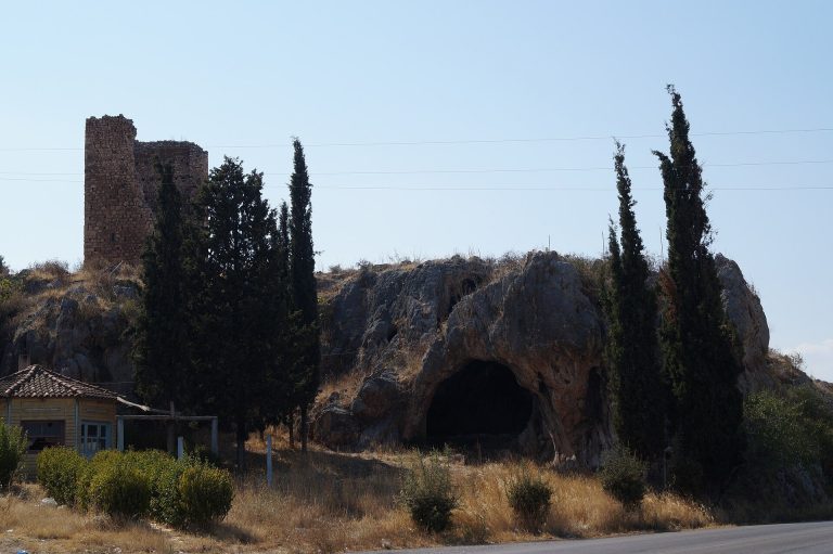
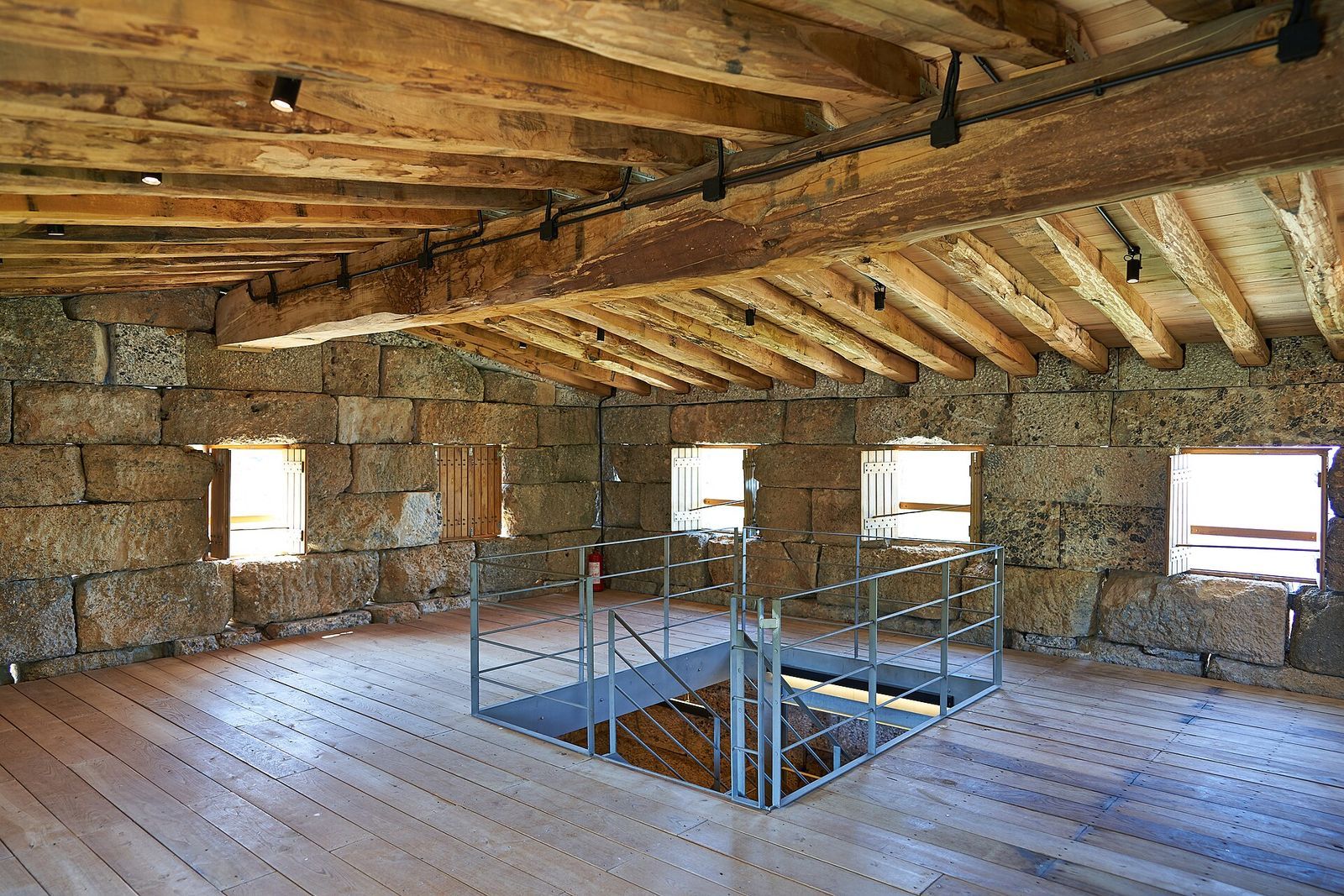
Aigosthena appears to have flourished during the early Christian period, before Slavs captured it. Its importance declined in the Ottoman period, when a lighthouse was built on the hilltop. Restoration of the fortress began in 2011.
Remains
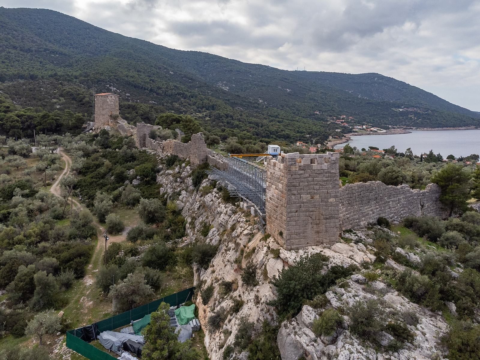
The settlement was arranged around a hilltop citadel and a lower town, with defensive walls extending from the citadel toward the sea. Its surviving fortifications combine carefully shaped stone laid in regular courses with sections of more irregular, polygonal-looking masonry.
Fortifications
Citadel
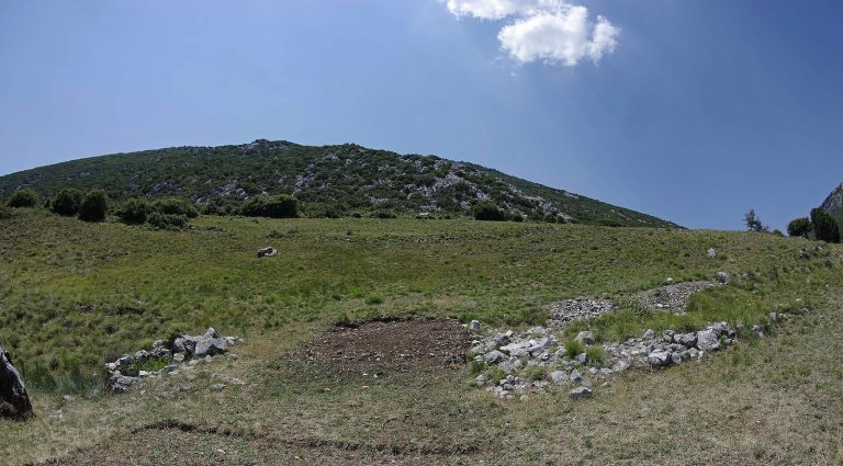
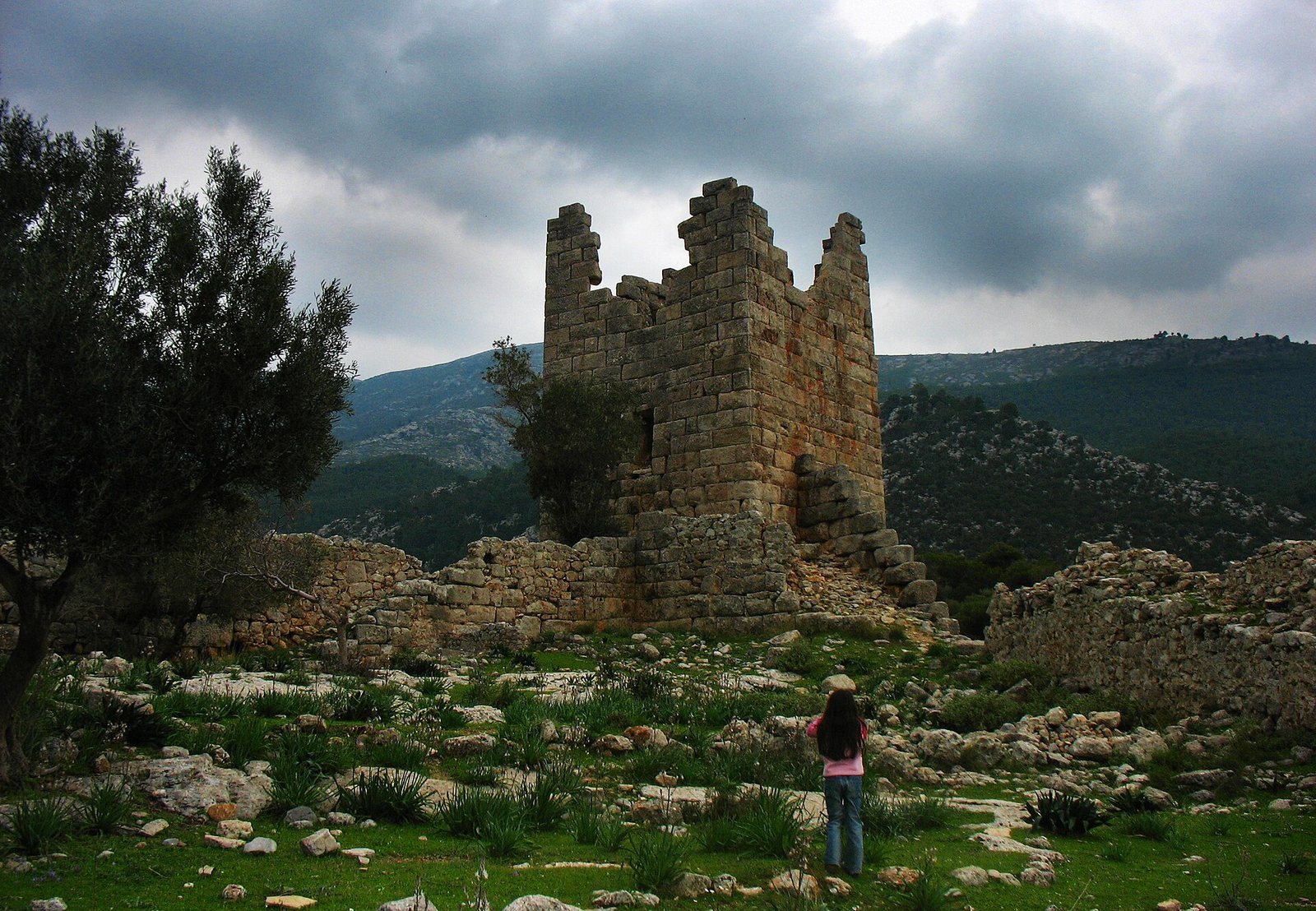
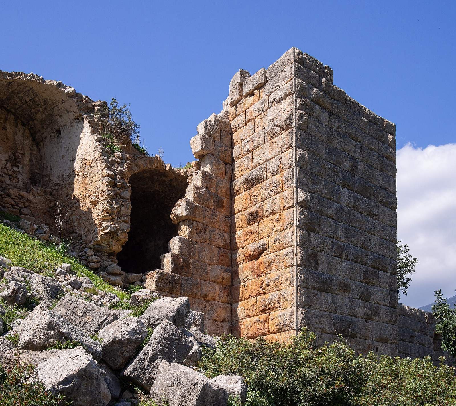
The citadel follows the contours of a hill about 55 m high, roughly 450 m from the sea, at the southern foot of Mount Cithaeron and near the Hunes stream. Its roughly trapezoidal plan measures about 90 by 187 m; the narrower, west-facing side, toward the sea, is about 113 m long. Eight artillery towers, built for the use of projectile weapons, formed part of the perimeter defenses. The main gate on the western side opened toward the lower town between the two sea-bound walls. A smaller auxiliary entrance stood on the eastern side, just north of the second tower.
Walls toward the sea
The northern wall runs almost straight for about 370 m from the citadel’s northwest corner toward the coast. It has six towers and a fortified gate, and remains well preserved. At its seaward end, underwater foundations and fallen blocks mark the final tower; remains of the wall’s westernmost tower are also identifiable. The southern wall’s probable course followed a riverbed.
Stonework and quarrying
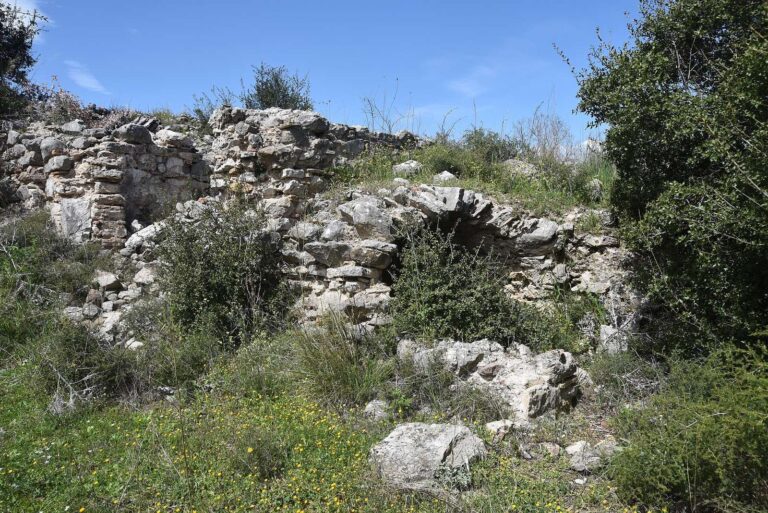
The fortifications use several forms of masonry. Some sections have dressed stone faces, finished corners, and regularly laid courses; elsewhere, courses vary in height or the stonework resembles polygonal masonry. These differences may reflect separate building phases. The walls rank among the best-preserved Hellenistic fortifications, from the period following Alexander the Great’s conquests. Quarrying traces can be seen immediately south of the citadel’s southeast tower.
Religious and monastic remains
Basilica and chapel
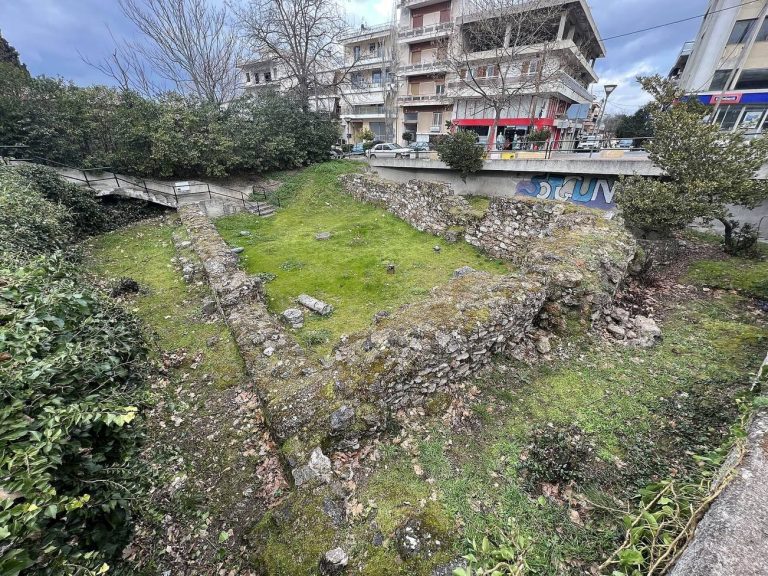
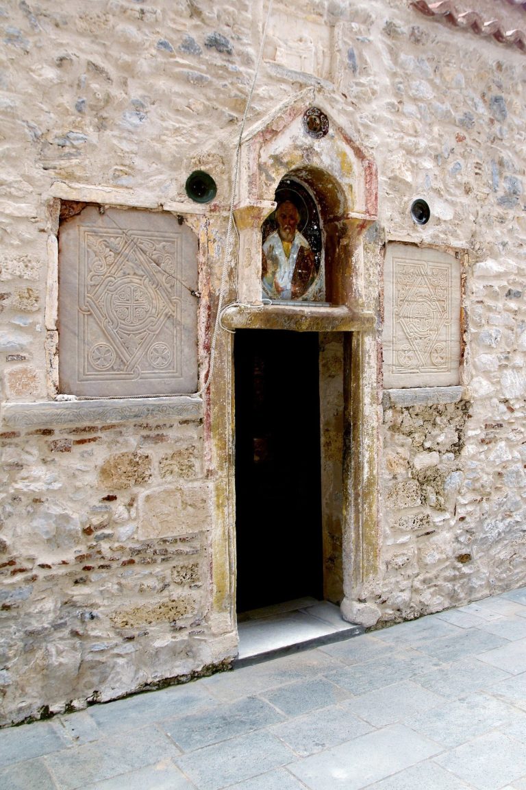
A five-aisled Christian basilica, a church with a central hall and four side aisles, was built in the lower fortified area in the fifth century. After its destruction, an eleventh-century chapel dedicated to Saint Anne occupied the same site.
Monastery on the acropolis
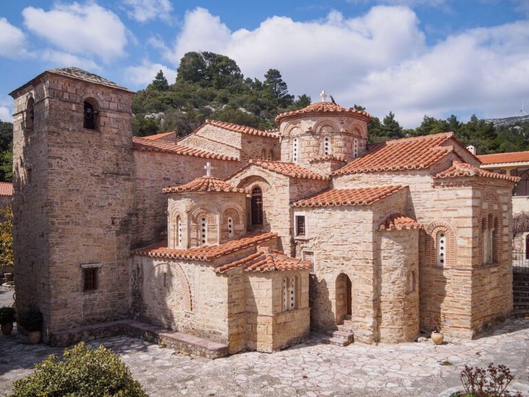
A later Byzantine monastery occupied the acropolis, the fortified high area of an ancient city. Its community adapted fortress walls and towers for monks’ cells and workshops, and built a church dedicated to Saint George.
Cult evidence
Pausanias, writing in the second century CE, described a sanctuary of Melampos, son of Amythaon, and a relief on the wall of his tomb depicting a short man. He also noted that people made offerings to Melampos and held a festival each year. Inscriptions found at Aigosthena attest to sanctuaries of Melampos and Heracles.