Menhir de la Basse-Crémonville: A Neolithic Standing Stone in France
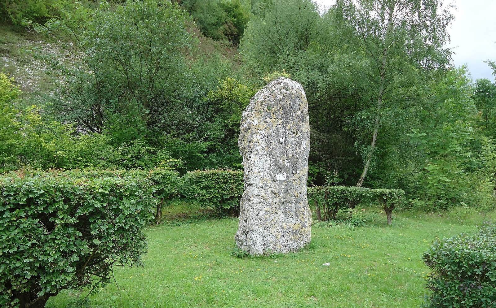
Site at a Glance
- Popularity
- Very Low
- Country
- France
- Primary era
- Stone Age
- Eras represented
- Stone Age, Modern
- Civilizations
- French
- Site type
- Civic
- Remains
- Megalithic Monument
On this page4 sections
History
The Menhir de la Basse-Crémonville is a Neolithic standing stone in Val-de-Reuil, France. The Neolithic was the later part of the Stone Age, associated with the spread of farming. The monument is also known as the Menhir of Saint-Étienne-du-Vauvray.
The stone was first recorded in 1842, during earthworks for a road crossing the hamlet of Saint-Étienne-du-Vauvray near Basse-Crémonville farm. As the work continued, laborers discovered a Neolithic burial structure.
In 1865, a planned railway connecting Louviers with the Rouen line threatened the menhir. Members of the French Archaeological Society, a scholarly association concerned with archaeology, joined André Prétavoine, mayor of Louviers, and his deputy mayor Marcel in seeking its protection. Marcel had supervised the excavation of the burial. Their efforts helped secure a grant from the Eure General Council, the elected assembly responsible for departmental administration. The stone was moved in early May 1866.
On 27 June 1927, the menhir was classified as a French historic monument, a formal heritage-protection designation.
Remains
The upright stone now stands at the former location of a circular burial structure. The menhir and the excavated layout of the tomb are the site’s principal physical features.
The standing stone
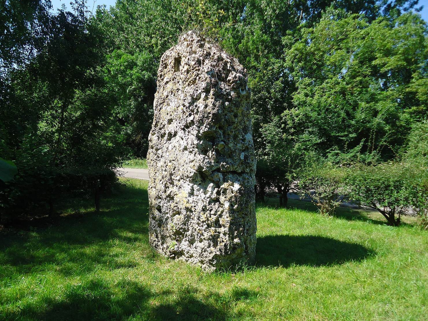
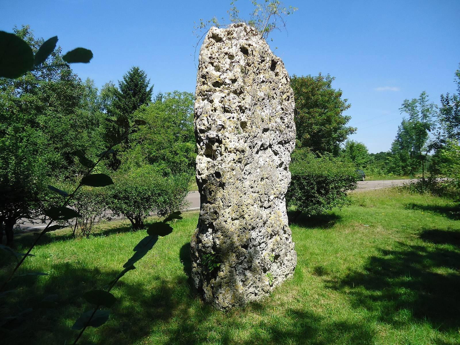
The menhir is a block of Senonian limestone, a rock assigned to an interval of the Late Cretaceous. It stands 3.30 metres high, averages 1.90 metres in width, and is 0.70 metres thick. The block narrows to a point, and its long direction runs parallel to the valley. Its pointed lower end extends 1.25 metres below ground.
A square cavity, 0.20 metres across and 0.05 metres deep, lies on the side opposite the road, 0.50 metres below the summit. Local tradition says it held a small statue of a Christian saint; it may instead have been cut when the stone was raised. A shallow, parallelogram-shaped hollow is also present at the top.
The stone split accidentally into two roughly equal parts during its move. The break can be seen about a metre above ground. It was set on a limestone bed over concrete, within the centre of a 100-square-metre plot donated by the landowner.
The burial structure
The circular burial structure measured about 4.50 metres in diameter and contained three superimposed levels, each 0.40 metres high. The buried people lay with their heads against flattened stones along the circular wall and their feet toward the centre, with their arms beside their bodies. Unmortared rubble stones divided the bodies, while stones 0.15 metres thick separated the intermediate levels.
A limestone pavement formed the floor. Above the upper level, a curved rubble covering supported a large limestone block smaller than the tomb. The distance from the floor to this covering stone was 1.65 metres. Finds included an irregular fragment of a coarse earthenware vessel and an object resembling a small axe.