Matilo: A Roman Auxiliary Fort on the Lower Germanic Frontier
Site at a Glance
- Country
- Netherlands
- Primary era
- Classical
- Eras represented
- Classical, Medieval, Modern
- Civilizations
- Dutch, Roman
- Site type
- Military
- Remains
- Fort
On this page20 sections
History
Matilo was a Roman auxiliary fort, a base for troops outside the citizen legions, at Roomburg in Leiden, the Netherlands. Built during the first century, it belonged to Germania Inferior, a Roman province in what is now the Netherlands and northwestern Germany, and formed part of the Lower Germanic Limes, the province’s frontier system. Its development was linked to the Fossa Corbulonis, a canal connecting waterways in the region.
Foundation and first-century rebuilding
Matilo’s establishment is associated with work on the Fossa Corbulonis beginning in AD 47 under the Roman commander Gnaeus Domitius Corbulo. The fort itself was made of timber and earth. An earlier watchtower has been proposed, but that possibility remains uncertain.
The fort appears on the Peutinger map between Albaniana and Praetorium Agrippinae. A later geographical work, the Ravenna Cosmography, compiled around AD 700, gives a related name, Matellionem. The origin of Matilo is uncertain; it may have a connection to a nearby watercourse and an older Celtic or Germanic name. From 1575, people mistakenly called the site Lugdunum, believing Leiden’s name came from that Latin name. Leiden instead takes its name from the nearby Leede.
During the Batavian revolt, an uprising against Roman rule in AD 69–70, the fort was destroyed. It was rebuilt in AD 71. Following the revolt of the Roman commander Lucius Antonius Saturninus against Emperor Domitian in AD 89, Matilo was enlarged and reinforced, probably in the late first or early second century.
Second-century garrisons
A dedication dated to AD 103–110 names the Cohors I Lucensium pia fidelis, a partly mounted auxiliary unit of about 600 troops recruited in Gallaecia. Its service history does not support a long, uninterrupted stay at Matilo before it served in Syria, where it is recorded in AD 88 and 90 and again in AD 153. A military diploma, a record of a soldier’s service, lists the cohort in Germania in AD 81–85, leaving open the possibility of an earlier, short posting at the fort.
Matilo was probably renewed around AD 121–123, during Emperor Hadrian’s visit to the Lower Germanic frontier, when roads and many forts were repaired. Inscriptions place the Cohors XV Voluntariorum at Matilo around AD 196–201. This infantry unit numbered about 480 men, but inscriptions and marked bricks also associate it with Praetorium Agrippinae, Nigrum Pullum, and Laurium. The evidence does not establish whether the cohort moved between the forts, divided into detachments, or supplied building materials to other posts.
Third-century service and abandonment
Inscriptions dated AD 198–205 also name the Numerus Exploratorum Batavorum, a mixed infantry and cavalry unit. A numerus was a smaller or less standardized military unit, and this one may have been larger than usual. It may have remained at Matilo for an extended period; its presence in Germania is independently recorded in AD 239 by an inscription found at Cologne.
An inscription from AD 196–198 records that Emperor Septimius Severus and his son Marcus Aurelius Antoninus, later known as Caracalla, arranged repairs to the Cohors XV’s armory after it collapsed with age. The work was carried out under provincial governor Valerius Pudens and the unit’s commander, Caecilius Bato. Another inscription, dated AD 200–201, records action by Severus and Antoninus on behalf of the cohort. A further inscription dated AD 198–205 names Geta alongside them. After Caracalla gained sole power in late AD 211, Geta’s name was deliberately erased, an act known as damnatio memoriae, or suppression of a person’s public memory.
Matilo also served as an armory for military units along the Lower Rhine. Ammunition for an onager, a Roman stone-throwing siege engine, has been interpreted as evidence that an artillery detachment may have been based there. Rising sea levels made the surrounding area marshier during the third century. The fort was rebuilt in stone around AD 242–243. Increasing pressure from Frankish groups probably contributed to its end: it may have been destroyed in an incursion around AD 260 or abandoned by AD 275–276 at the latest. It was not occupied again in the Late Roman period.
The civilian settlement and later history
A civilian settlement, or vicus, grew around the fort and across the canal, creating a bridgehead. It probably had about 500 inhabitants, including veterans, soldiers’ families, traders, craftspeople, innkeepers, sex workers, and other people providing services to the community.
Roman objects were found near the medieval convent at the site as early as 1502. In 1508, two bronze lions and a bronze figure of Minerva were presented to Holy Roman Emperor Maximilian I.
Modern excavation began in 1927 under Dutch archaeologist Jan Hendrik Holwerda. In 1962, Julianus Egidius Bogaers identified a silted waterway reinforced along its bank as the Fossa Corbulonis. Electrical-resistance surveys informed test excavations in 1974 and further work from 1994 to 1999. The civilian settlement had been discovered and investigated by the early 1970s. Excavations documented its cemetery in 1994 and identified two more fragments of the fort’s outer walls in 1999. In 2006, archaeologists systematically excavated part of the frontier around the fort.
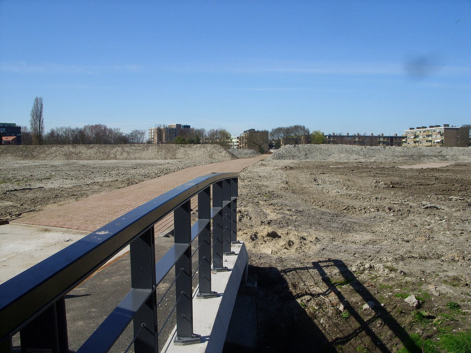
Large-scale excavation was avoided because the area faced no construction threat and was protected as archaeological ground. The Dutch monuments law of 1988 protects the fort and convent area, as well as the canal and civilian settlement; the protected ground also includes possible traces of early medieval habitation. Matilo became part of the UNESCO World Heritage listing of the Lower Germanic Limes in 2021. Leiden approved an archaeological park in 2010, designed to show the fort’s layout above ground without disturbing the buried remains.
Remains
The archaeological remains comprise the fort, its associated canal and civilian settlement, and a cemetery linked to the settlement. The fort began as a timber-and-earth work and was later partly rebuilt in stone. At the modern park, its outline and internal arrangement are represented at ground level while the archaeological remains stay buried.
Fort layout and defenses
Position and plan
The fort stood on slightly raised ground where several waterways met. It was rectangular, about 82 by 100 metres, and covered roughly 0.8 hectares. The Leithe, also known as the Warmonder Leede, entered the Oude Rijn from the northeast, while the Zijl branched northward and the Fossa Corbulonis approached from the southwest. Roman boats could navigate the river and waterways. Matilo’s principal-gate side, or praetorial front, faced the canal rather than the Rhine. A road followed the Rhine frontier, and another route led from Matilo toward Forum Hadriani.
Ramparts, ditches, and walls
The earliest defenses combined an earthen rampart with a timber palisade. The original ditch system was later replaced by three ditches, and the fort’s defensive circuit was rebuilt in stone during the second century. The outer wall was subsequently replaced by a stone wall, with further rebuilding of the walls and ditches over time. At least two fragments of the outer walls were identified during excavation.
Headquarters building
The second-century principia, the fort’s headquarters, measured about 32 by 32 metres and covered 1,024 square metres. It was among the buildings constructed in stone.
Canal and settlement
Canal banks and crossing
The Fossa Corbulonis connected the Rhine and Meuse water systems and continued as far as the Nieuwe Maas, providing a shorter route than the longer, more hazardous journey by sea. Heavy rows of piles reinforced its natural southern bank, with additional supports added in stages. Their unusually good preservation helps date successive phases of bank protection. Rows of piles extending from the bank toward the channel’s middle may have supported a simple timber bridge between the two sides.
Settlement and canal finds
The vicus spread across the canal’s far bank. Ground behind the bank supports had been filled with settlement refuse, including fragments of leather tents and shield covers bearing the Cohors XV Voluntariorum’s name and emblem. A Roman riverboat was recovered from the canal. Other finds from the fort and settlement include coins, pottery, horse harness, roof tiles stamped for military use, inscriptions, and ammunition associated with an onager.
Objects and burial evidence
Military objects and inscriptions
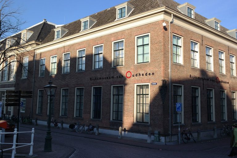
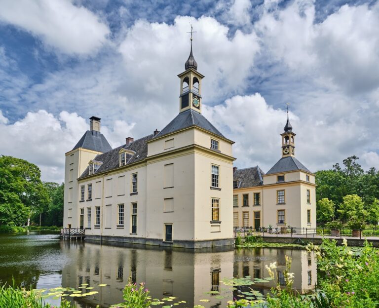
A bronze cavalry parade mask found in the Roomburg area in 1996 dates to around AD 80–125. It is displayed at the Rijksmuseum van Oudheden, the national museum of antiquities in Leiden. Finds associated with Matilo also include bronze hands from statues and two Roman facade stones, now at Duivenvoorde Castle.
Ritual and personal objects
Lead curse tablets, inscribed objects intended to invoke supernatural harm or bind a target, bear letters and symbols. A clay figure of a goddess dated to AD 150–175 may represent Venus or a river goddess. Other finds attributed to Matilo include a blue glass bead shaped like a melon and a semiprecious stone carved with two horses drinking at a trough.
Burial-related find
A rough-walled pottery cooking pot from the settlement contained cremated remains. The settlement’s associated cemetery was documented during archaeological work in 1994.
Convent area and archaeological park
St. Margaret’s convent
The medieval convent of St. Margaret stood immediately northeast of the Roman fort. Its area forms part of the protected archaeological ground, and the park includes a memorial to the convent.
Surface representation of the fort
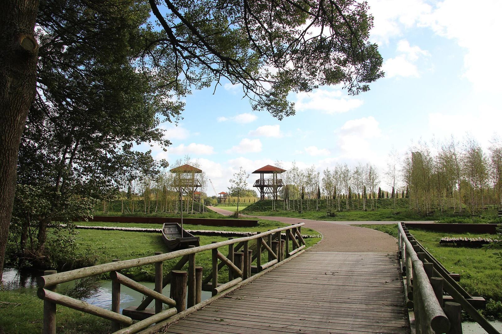
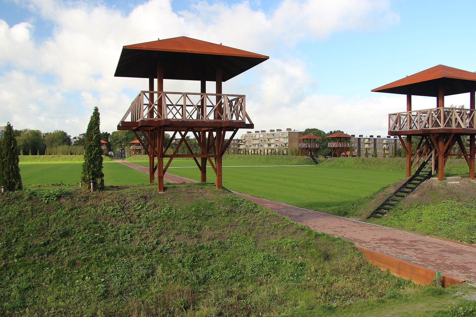
The park marks the fort’s defensive circuit with an earthen bank. Conifers planted along it represent the former palisade and later wall. Paths across the grass trace the Via praetoria (principal road), Via decumana (road continuing toward the rear), and Via principalis dextra (cross-fort road). Reconstructed east, west, and north gates indicate the entrances. A low wall before the reconstructed west gate represents the Corbulo Canal, with a Roman flat-bottomed boat shown nearby. Other representations include a spatha (long sword), a seminatrix (female sower), and a groma (Roman surveying instrument).