Marienburg Castle in Hildesheim: A Medieval Stronghold and Estate
Site at a Glance
- Popularity
- High
- Country
- Germany
- Primary era
- Medieval
- Eras represented
- Medieval, Early Modern, Modern
- Civilizations
- German, Holy Roman Empire
- Site type
- Military
- Remains
- Castle
On this page13 sections
History
Marienburg Castle is a medieval stronghold south of Hildesheim, Germany. Henry III of Brunswick-Lüneburg, bishop of Hildesheim, built it from 1346 to 1349 on land belonging to Marienrode Monastery, a religious community. The monastery received compensation. The castle was intended to restrain Hildesheim’s rebellious citizens and help control the city from the south.
Administration and conflict
Marienburg was repeatedly pledged as collateral. From 1382 to 1803 it served as the seat of an administrative district, and from 1442 to 1810 it belonged to the cathedral chapter, the clergy responsible for a cathedral and its administration.
During the Thirty Years’ War, a major European conflict fought from 1618 to 1648, the castle was captured in 1632. The upper floors of its east and south wings were destroyed, then rebuilt using half-timber framing in 1663. After the war, Marienburg lost its strategic importance and became a residence. In 1806 it was converted into a state-owned estate, a use reflected in the continuing name Domäne Marienburg.
Estate and university use
The village that developed around the castle had 195 inhabitants in the early twentieth century, most employed on the estate. Marienburg became the administrative seat of a district named after it in 1885. That district merged with the former Hildesheim district in 1946, and the village joined the city of Hildesheim on 1 March 1974. The castle was undamaged during the Second World War. From 1945 to 1981, the estate operated a large vegetable-growing business, supplying produce mainly for canning. An ice-cream factory in the castle’s vaulted cellar produced MUKU ice cream from 1949 to 1991, known across the district.
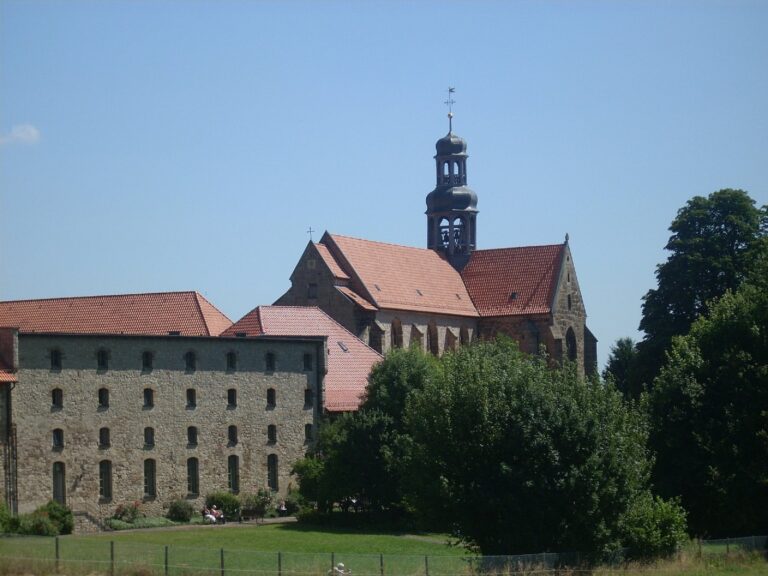
The University of Hildesheim began using Marienburg as a teaching and research center in 1993. The city bought the estate on 16 September 2005, and since 2014 the site has housed all institutes in the university’s Faculty of Cultural Studies and Aesthetic Communication. Renovation and building work from 2008 to 2012 altered the estate for its university use, including the removal of some former production and storage buildings.
In 2017, the Innerste flooded the castle grounds, causing extensive damage. The river reached a level not recorded since 1946. Many rooms became unusable, and the state supported repairs and improvements to flood protection.
Remains
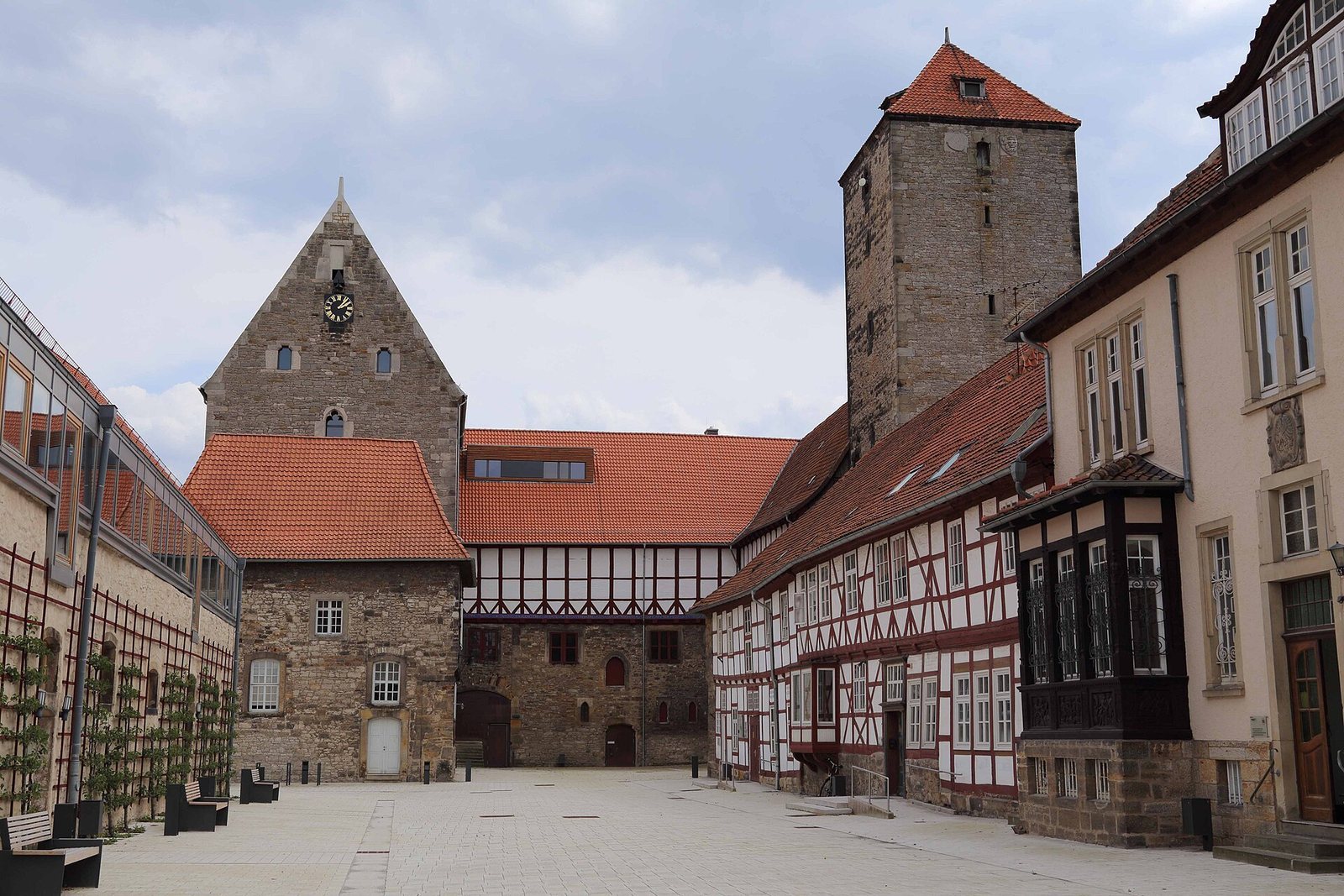
The castle’s three-wing plan occupies a site that was originally marshland, near the Innerste River. Its position on the route between Hildesheim and Goslar offered a strategic advantage, while the river protected part of the grounds. The north wing contains the High House, the south wing includes the keep and a former brewery, and the east wing links them. The High House, the building adjoining it to the south, and the keep are the oldest parts of the castle.
Layout and defenses
On the east and west, the enclosure walls were about 10 metres high and 2 metres thick, with a defensive passage along their tops. Castle buildings were set directly against these walls, so their outer walls also formed part of the defenses. The south wing’s outer wall is 2 metres thick, compared with 1 metre on its courtyard side. Two water-filled moats and a rampart once surrounded the castle, with the river providing further protection. The moats were filled after 1945, and shallow depressions remain visible to the east and south. Access was from the west; construction work in the late 1960s uncovered remains of a gate tower and a wooden bridge.
Principal buildings
High House
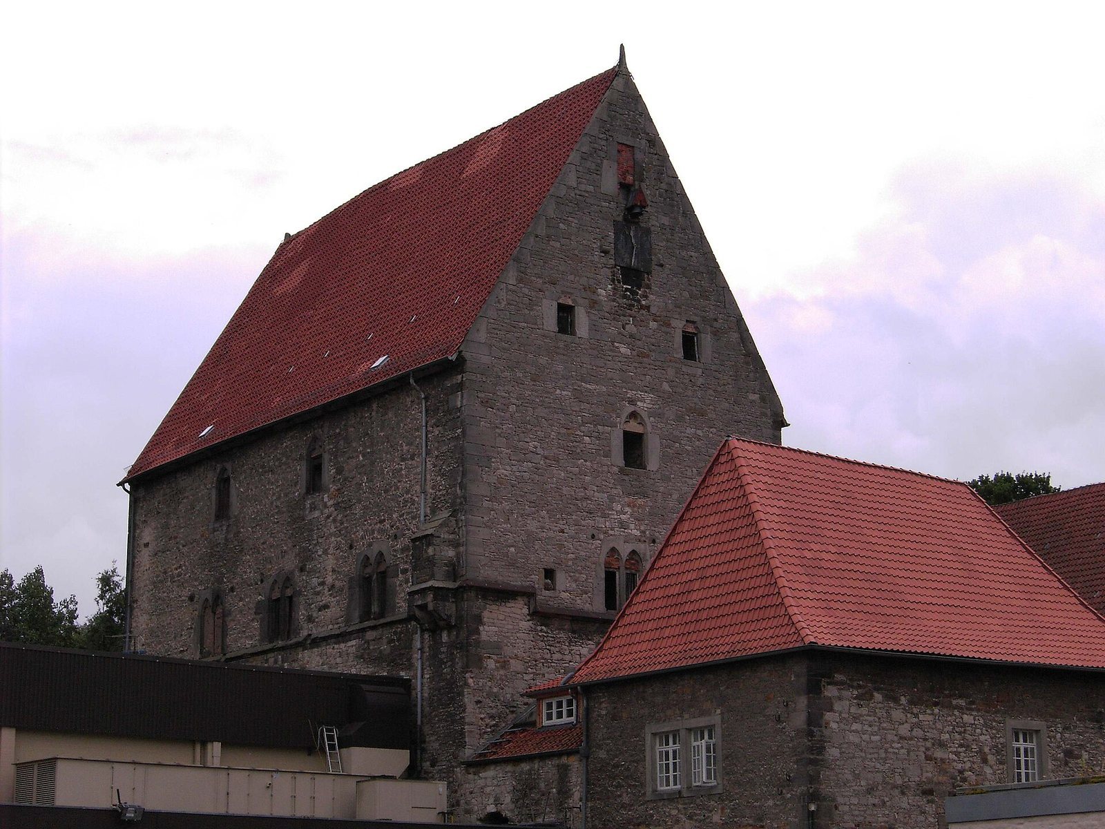
The four-storey High House, the castle’s principal hall and residential building, is 29.5 metres tall and measures 21.06 by 12.65 metres at its base. Its walls reach 2.35 metres in thickness. A great hall on the third floor has a five-metre-high ceiling, while a bay window on the fourth floor incorporates a medieval toilet. The windows include small rounded-arch openings and narrow, pointed forms. From the sixteenth century, the building served as a granary for several centuries, a use that left it little altered. It remains relatively well preserved.
Keep
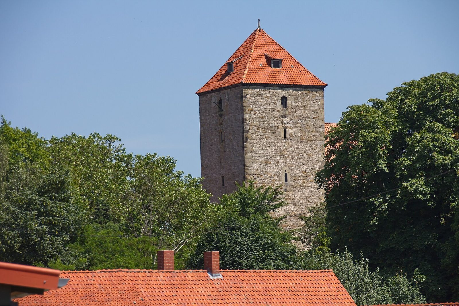
The keep is a fortified tower 31 metres high, with a ground plan measuring 8.55 by 8.75 metres. Firing slits pierce its walls, and it is topped by a tent-shaped roof. The keep is relatively well preserved.
South and east wings
The east transverse wing was added after 1450, completing the three-wing arrangement. A well was taken out of use during this construction. The south wing contains the former brewery and the keep; the east wing lies between the south and north wings.
Outer bailey and estate buildings
Outer bailey
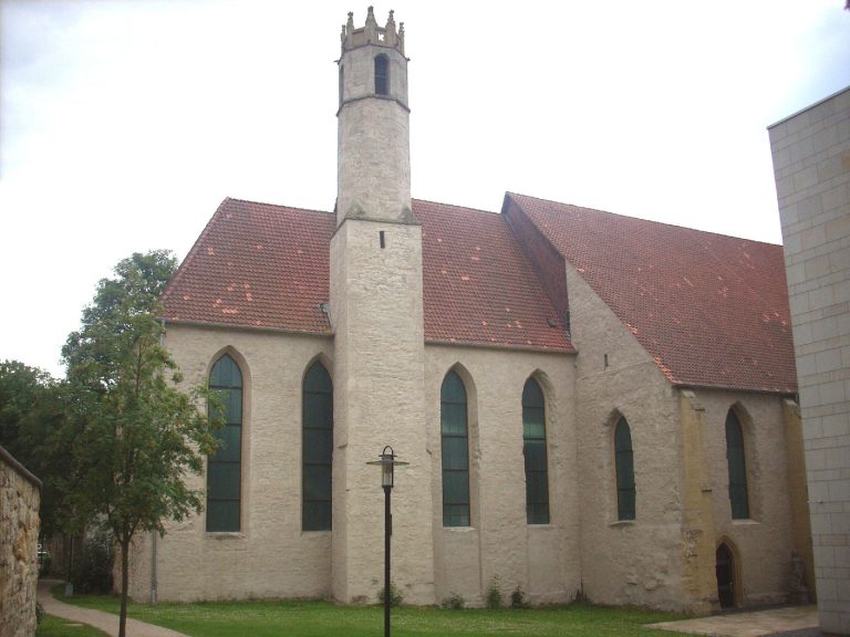
In the early seventeenth century, the moats were extended westward to enclose an enlarged outer bailey, the outer enclosed area of the castle complex. A church was also built within the main castle. Administrative and residential buildings went up in the outer bailey during the sixteenth century and were later replaced. In the nineteenth century, the area expanded northward to form a farmyard.
Historic and farm buildings
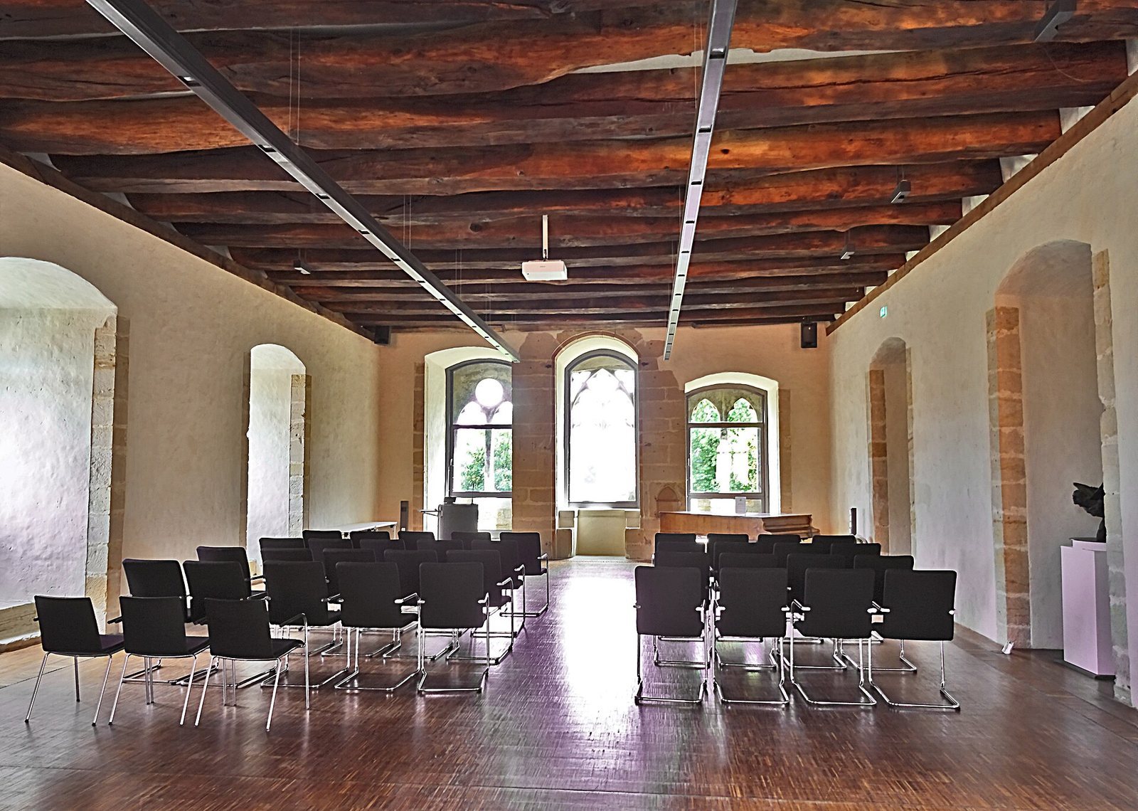
The representative Tenant’s House dates to the eighteenth century and is Baroque in style, an ornate European architectural style that flourished in the seventeenth and eighteenth centuries. The estate’s coach house and stone barn, also colloquially called the ox stable, have been renovated. A barn was adapted as a lecture hall.
University buildings
A building for the university’s theatre institute stands beside the High House. A stable adapted for the music institute contains practice cubicles.