Lugdunum Convenarum: Roman Town and Capital of the Convenae
Site at a Glance
- Popularity
- Medium
- Country
- France
- Primary era
- Classical
- Eras represented
- Classical, Medieval
- Civilizations
- Roman
- Site type
- Settlement
- Remains
- City
On this page28 sections
History
Lugdunum Convenarum was a Roman town on the upper Garonne near present-day Saint-Bertrand-de-Comminges, France. Founded in the Augustan period, it became the principal town of the Convenae, an Aquitanian people, and an administrative and customs centre in the central Pyrenees.
Foundation and Roman administration
The Christian writer Jerome later credited Pompey with gathering the Convenae into a fortified settlement in 72 or 71 BCE. The archaeological chronology instead places the town’s foundation in the reign of Augustus, Rome’s first emperor, although a modest military post may have preceded it. When Augustus reorganized the provinces, probably between 16 and 13 BCE, the upper Garonne became part of Aquitania rather than Narbonensis. Lugdunum then served as the capital of the Convenae’s civic territory, the area and community governed as a Roman civic unit.
The reorganization brought a new street plan and worship of Rome and the emperor. Public construction followed late in Augustus’s reign or under his successor, Tiberius. During the first century CE, Lugdunum developed into a provincial centre, and building activity continued through the second, third, and fourth centuries. By the turn of the second and third centuries, it had received the formal status of a Roman colony.
Urban growth and regional importance
Lugdunum also housed Aquitania’s only station of Gaul’s imperial customs system. It oversaw traffic moving down the upper Garonne. In 39 CE, Emperor Caligula sent Herod Antipas, ruler of Galilee and Perea under Roman authority, and his wife Herodias into exile at the town after deposing Antipas.
Ancient geographers Strabo and Ptolemy named Lugdunum, as did Roman road references such as the Antonine Itinerary and the Peutinger Table. The town remained prosperous and continued to develop into the late fourth century. A military camp established at its eastern edge around the turn of the second and third centuries renewed activity there, and the camp was remodelled in the second half of the fourth century.
Traditions about Lugdunum’s greatest extent claimed that it spread across the valley and surpassed contemporary Lutetia, the Roman settlement at Paris. A Latin saying imagined a cat travelling from roof to roof between Lugdunum and Valentine, 12 kilometres away. An estimate attributed to the Roman geographer Pomponius Mela gave Lugdunum 10,000 inhabitants, compared with 20,000 at Toulouse.
Late Roman and medieval transition
During the fifth century, settlement continued in the plain around new centres, including a Christian community, while the upper town was fortified. Lugdunum had become a bishopric by the middle of the century, and bishops are known into the late seventh century. The Visigoths held the region from 419 until the Franks defeated them in 507.
The town’s traditional end date is 585. Gregory of Tours wrote that King Guntram’s army besieged and burned it during the revolt of Gundovald, a claimant to royal power. Another interpretation treats the siege as a literary construction and sees abandonment as a gradual process extending into the eighth century. Settlement within the upper-town walls continued on a reduced scale from the fifth through the seventh centuries.
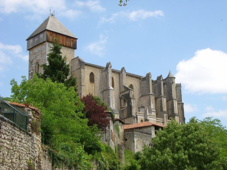
Many buildings were dismantled for stone and marble, which were reused elsewhere, including at Saint-Just de Valcabrère, or burned to make lime. People continued to live in the area. A revival accompanied the late twelfth-century cathedral founded by Saint Bertrand, a bishop later venerated as a saint, and the settlement developed into Saint-Bertrand-de-Comminges.
Names and archaeological investigation
The name Lugdunum is understood as Celtic, combining Lug or Lugus with -dunum, meaning “hill” or “fortress.” Convenarum refers to the Convenae. An inscription from the customs station abbreviates the town’s name as Lugd(uni) Conv(enarum). From the fourth century, Jerome used Convenae for the town, and that name persisted through the Middle Ages. It later developed through Commenae into Comminges. The combined name Lugdunum Convenarum became established in the nineteenth century, partly to distinguish the town from Lyon; an approximate translation of an inscription in 1866 helped popularize it.
Exploration began in the late nineteenth century, followed by archaeological investigations from 1913. Work led by Bertrand Sapène identified the forum and traced the enclosure wall from 1928. After a pause beginning in 1970, intensive research resumed in 1985. Excavations over more than half a century revealed major buildings and helped reconstruct the town’s history into the late sixth century. Finds from the excavations are held at the departmental archaeological museum in Saint-Bertrand-de-Comminges. Since 2015, a Lille 3 University field school has studied burial practices and changing cemetery layouts. Excavations at Herranne in 2016 uncovered a large funerary esplanade around a Roman mausoleum found in the nineteenth century, adjoining an agricultural establishment.
Remains
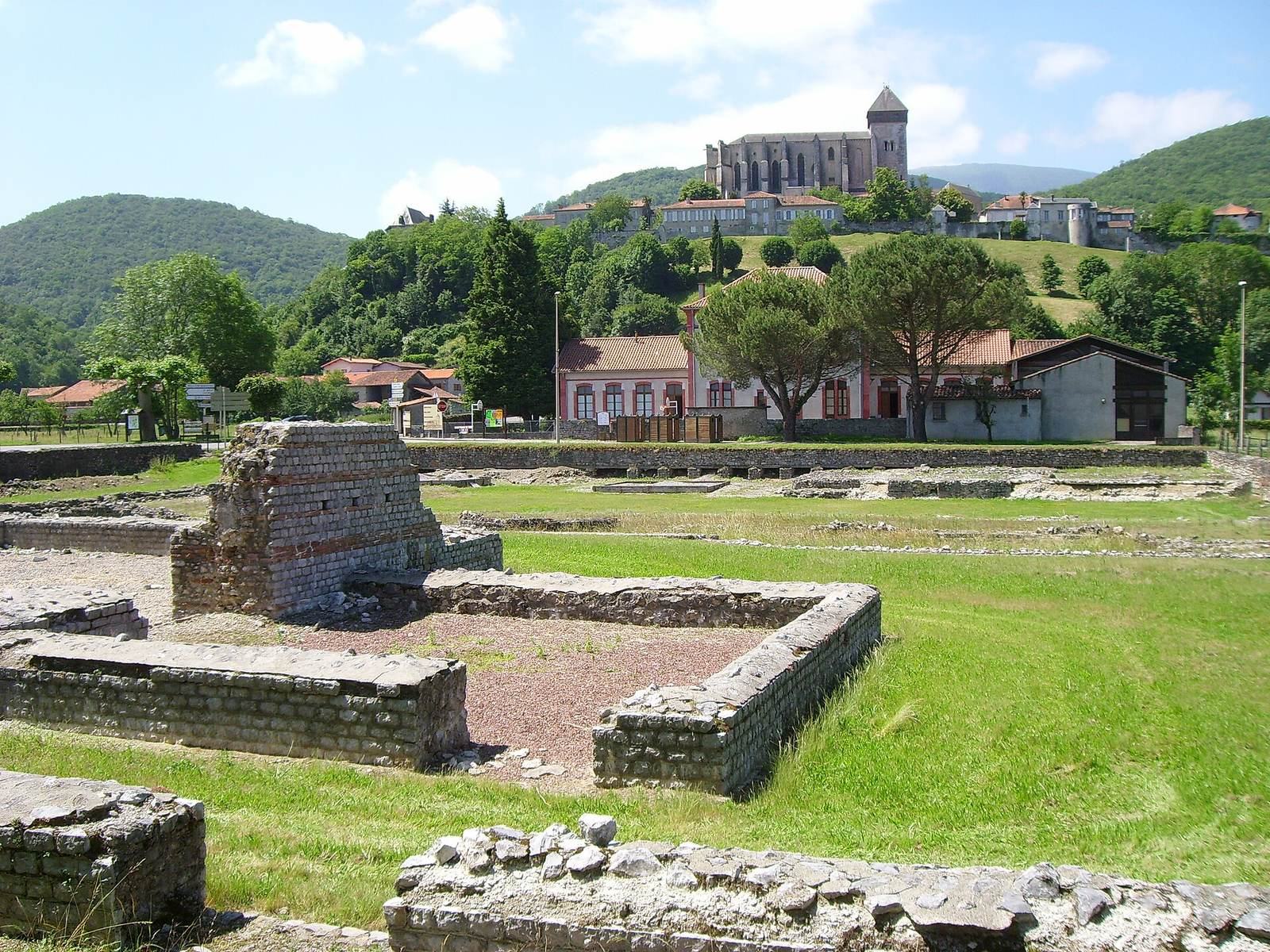
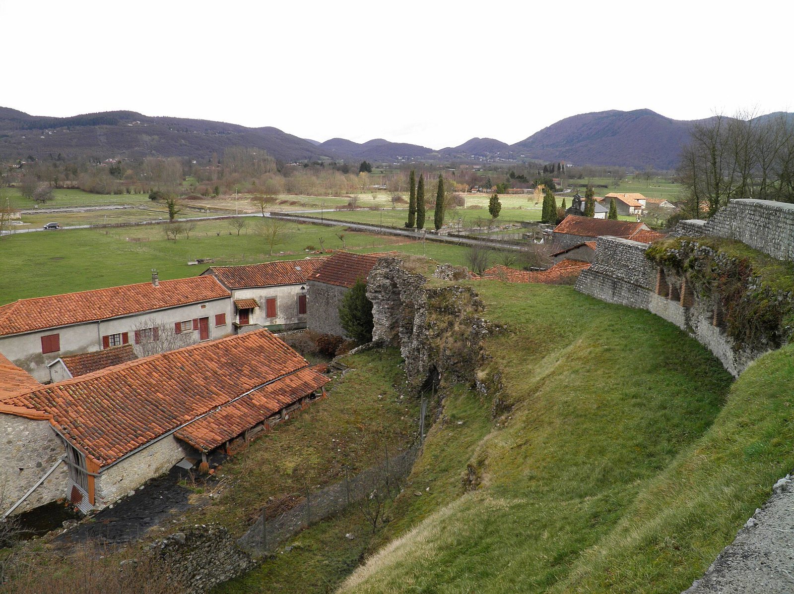
The Roman town occupied mainly an alluvial plain below an isolated hill, the upper town, where the later cathedral stands. Its layout changed from roads radiating toward a central crossroads to a right-angled street grid, with housing arranged in city blocks, including the Vignettes quarter east of the centre. Civic buildings, baths, a theatre, and suburban facilities occupied different parts of the settlement.
Street plan and civic centre
Crossroads monument
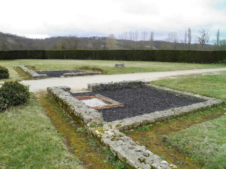
A circular enclosure monument, built around the beginning of the first century CE, marked the earlier crossroads. Its central square base probably supported a large column on a plinth. A low wall surrounded a circular space that opened to the east.
Forum and imperial-cult temple
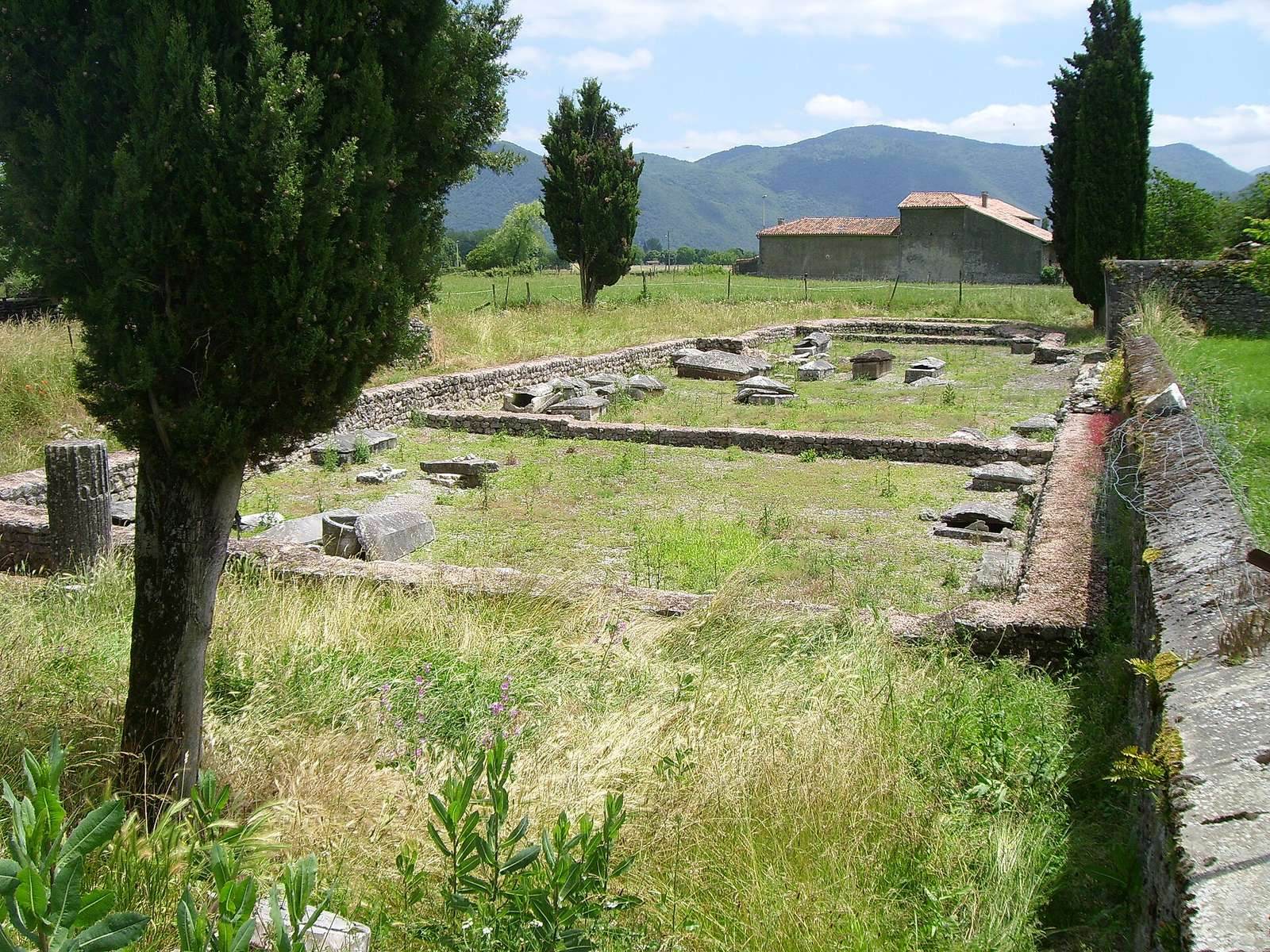
The forum stood at the western end of the town centre. Its temple, built late in Augustus’s reign or under Tiberius, served the imperial cult, the religious observances devoted to Rome and the emperor. Only the foundations survive, within a courtyard and portico. Part of the complex lies beneath the D 26 road and a school. A large square feature opposite the temple may have served as an altar or as a base for statues.
Forum square and small temple
East of the forum lay an open space where roads in the earlier street layout met. It served commercial and religious purposes. A small temple was built against the southern wall of the forum square late in the second century and may have been dedicated to Hercules. Porticoes, or covered colonnades, were added along the square’s eastern and western sides in the fourth century.
Covered market
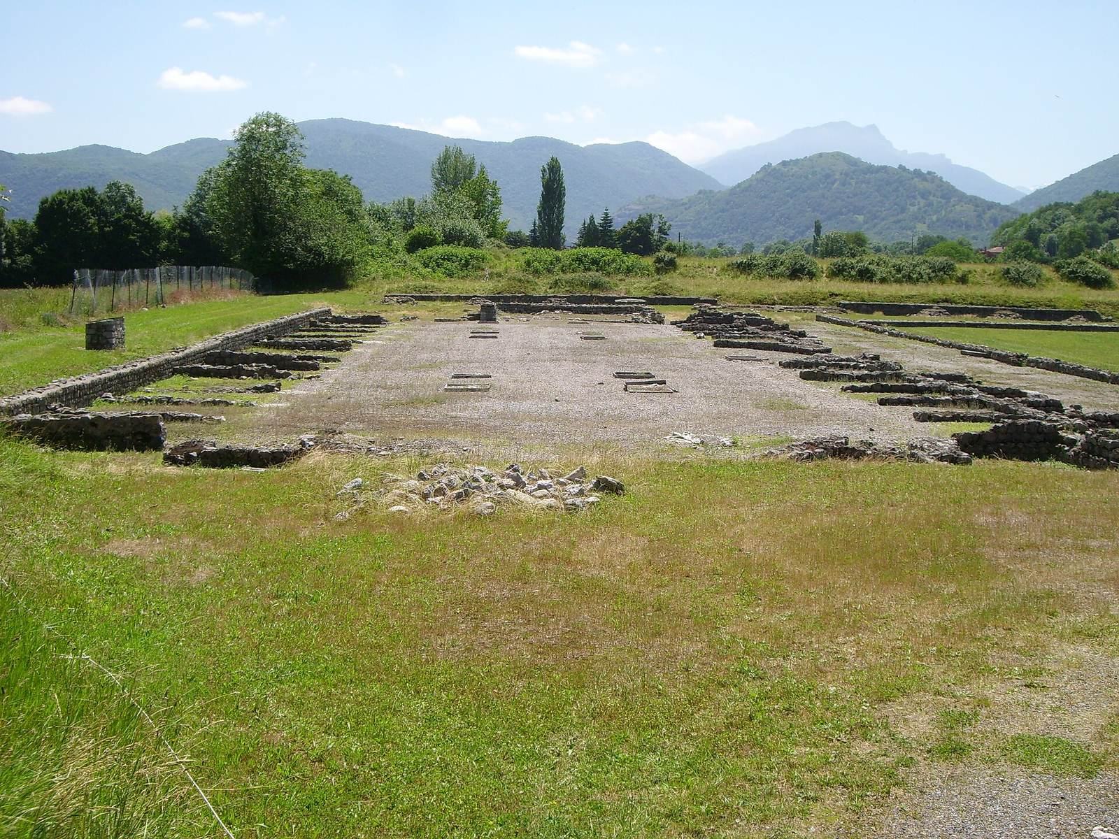
A covered market beside the forum measured 55 by 26 metres, making it the largest known market in the western provinces of the Roman Empire. A square adjoined it on the south. Built between 15 and 40 CE, the market was damaged by fire and rebuilt on a broadly similar plan, probably late in the second century. It was razed in the fourth century and covered by a building whose purpose is not known.
Bath complexes
Forum baths
Built during Augustus’s reign, the forum baths went through three phases in the first century. Around the turn of the first and second centuries, a major rebuilding gave the complex a new plan. It was enlarged and altered through the fourth century. Its facilities included hot, warm, and cold rooms, a sweat room, a swimming pool, an exercise area, and shops. Part of the hot room’s underfloor heating system remains visible.
Northern baths
The northern baths were built in the middle of the first century over a city block of timber-and-daub buildings destroyed by fire. They were rebuilt and enlarged around the turn of the first and second centuries. An adjoining U-shaped building has been interpreted by its excavator as a third-century temple of Cybele, a goddess worshipped across the ancient Mediterranean.
Sales Arrouges baths
The nearby baths of Sales Arrouges cannot be closely dated. They have been linked to the military camp, and some interpretations identify them as military baths.
Theatre and other facilities
Theatre
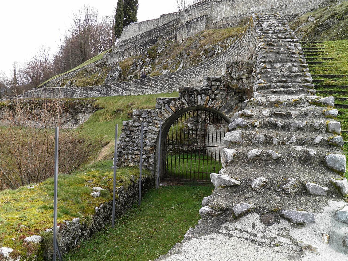
The theatre stood on a hillside toward the eastern edge of town. Built early in the first century CE, it was enlarged and its seating area remodelled around the middle of that century. A large covered colonnade was added behind the stage at that time. The theatre could hold 5,000 spectators. Its eastern section is best preserved, including a large masonry arch. Some marble decoration from the building was reused at Saint-Just de Valcabrère.
Exercise areas and suburban residence
A large exercise area was built near the theatre between 20 and 40 CE. At the suburban site of Coupéré, a separate exercise area was destroyed by fire around the turn of the first and second centuries. A large aristocratic residence replaced it about 20 to 30 years later. An underfloor heating system was added in the middle of the third century. The residence was later used for burials in a funerary basilica, a large hall-like building associated with graves, before the site was eventually quarried.
Camp, amphitheatre, and river port
A military camp occupied the eastern edge of town. Farther out, the settlement also had an amphitheatre and a port on the Garonne.
Upper town and Christian quarter
Enclosure wall
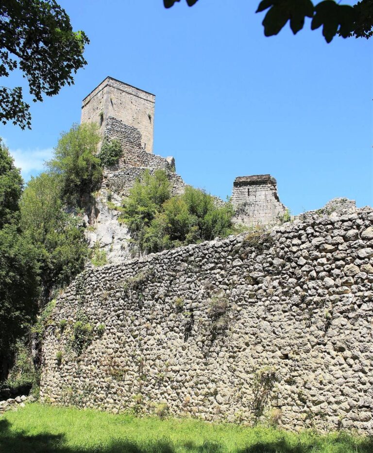
A wall built early in the fifth century enclosed the upper town. About 880 metres long, it surrounded a roughly triangular area of approximately four hectares. The ancient core of its masonry remains clearly distinguishable. A well-built structure dating to the later fourth century stood just inside the line later followed by the wall.
Early Christian basilica and cemetery
At the foot of the upper town, in the lower quarter known as the Plan, a Christian basilica was built in the fifth century. Its nave was 20 metres long and ended in a flat-sided apse. Burials continued at the site. The medieval chapel of Saint-Julien, built in the Romanesque style of rounded arches and massive masonry, and its cemetery directly succeeded the ancient basilica.
Sculpture and inscriptions
Augustan trophy
Discovered in 1926, the Augustan trophy was a group of marble sculptures carved in the round. It represented weapon trophies, allegorical figures, and captives in three compositions, one naval and two land-based. Erected late in the first century BCE after Augustus’s victories in southern Gaul and Spain, it is represented by 134 recovered fragments and remains among the most complete known monuments of this type.
Inscriptions
Roman-period inscriptions from Lugdunum preserve Indigenous personal and divine names, including Aquitanian names and name elements. These have informed research on Aquitanian, a language considered a possible predecessor, or one of the predecessors, of Basque.
Remains across the Garonne
Funerary pillar
At Valcabrère, across the Garonne, a tall Roman funerary pillar still stands.
Saint-Just de Valcabrère
The medieval church of Saint-Just was built partly on ancient piers beside a Roman cemetery. Roman carvings were reused in the church and on its exterior, including friezes with weapons and shields and a theatre mask.