Letychiv Fortress: A Historic Fortress in Ukraine


Site at a Glance
- Rating
- 4.5
- Popularity
- Low
- Country
- Ukraine
- Primary era
- Early Modern
- Eras represented
- Early Modern
- Civilizations
- Polish–Lithuanian Commonwealth
- Site type
- Military
- Remains
- Castle
On this page10 sections
History
Letychiv Fortress is a ruined fortress in Letychiv, Ukraine, first recorded in 1362 and later rebuilt in stone under the Polish–Lithuanian Commonwealth. Tradition attributes its foundation to the Lithuanian princes Koriatovichi, although the form of the earliest stronghold is unknown. The site stood in Podolia, a region controlled by the Grand Duchy of Lithuania, a major medieval and early-modern state that ruled much of the surrounding area.
Medieval town and stone rebuilding
In 1466, King Casimir IV Jagiellon granted Letychiv Magdeburg rights, a system of urban self-government that gave towns legal and administrative privileges. Letychiv was described as a strategic point on the route to Vinnytsia, reinforcing the town’s defensive importance.
In 1579, Jan Potocki, the Kamianets starosta, began replacing the earlier timber-and-earth fortress with a stone castle on government orders. A starosta was a royal or state-appointed administrator responsible for a district or royal estate. The precise construction date remains uncertain. An annotation to engravings by Napoleon Orda gives 1598, while the diplomat Erich Lassota recorded seeing Potocki’s castle at Letychiv in 1594. Construction may therefore have started in 1579 and continued for many years.
Royal commissioners assessed Potocki’s expenditure in 1598. The Polish Sejm, the representative legislative assembly of the Polish–Lithuanian Commonwealth, secured him 12,000 złoty from royal estates for 50 years, with the income passing to his descendants. In 1601, Letychiv became a district administrative center.
War, religious use, and eighteenth-century recovery
During the Khmelnytsky Uprising, a seventeenth-century Cossack revolt and war that reshaped political control in Ukrainian lands, the surrounding area was initially controlled by a Cossack hetman. After the February 1649 truce, it returned to the Polish–Lithuanian Commonwealth. The Turks occupied the region in 1672, and repeated changes of control contributed to Letychiv’s decline.
The castle precinct also became a religious center. In 1606, Paweł Wołucki, the Roman Catholic bishop of Kamianets, established a Dominican monastery on the site of an earlier wooden church mentioned from the mid-sixteenth century. The Dominicans were a Roman Catholic order founded in the thirteenth century and known for preaching and theological study. The monastery church was completed in 1638. An organ was recorded there in 1637, and its bell tower was built in 1720.
Letychiv recovered during the eighteenth century. Rebels captured the town in 1750, but it was described as flourishing in 1765. Approximately 800 Jews lived there during the 1780s. After the Second Partition of the Polish–Lithuanian Commonwealth in 1793, Letychiv became part of the Russian Empire. Tsar Nicholas I later ordered the Dominican monastery closed because it was non-Orthodox.
Uprising, occupation, and preservation
During the 1830s, Letychiv was one of the centers of the uprising led by Ustym Karmaliuk. Karmaliuk was buried in the town, and a five-metre monument to him was erected beside the fortress tower in 1974.
German forces occupied Letychiv on 17 July 1941. They established a Jewish ghetto in the town and a concentration camp within the fortress, holding local Jews and other prisoners there. Approximately 7,200 ghetto inhabitants were killed near the suburb of Zaletychivka toward the end of 1942. Soviet forces of the Second Ukrainian Front captured Letychiv on 23 March 1944.
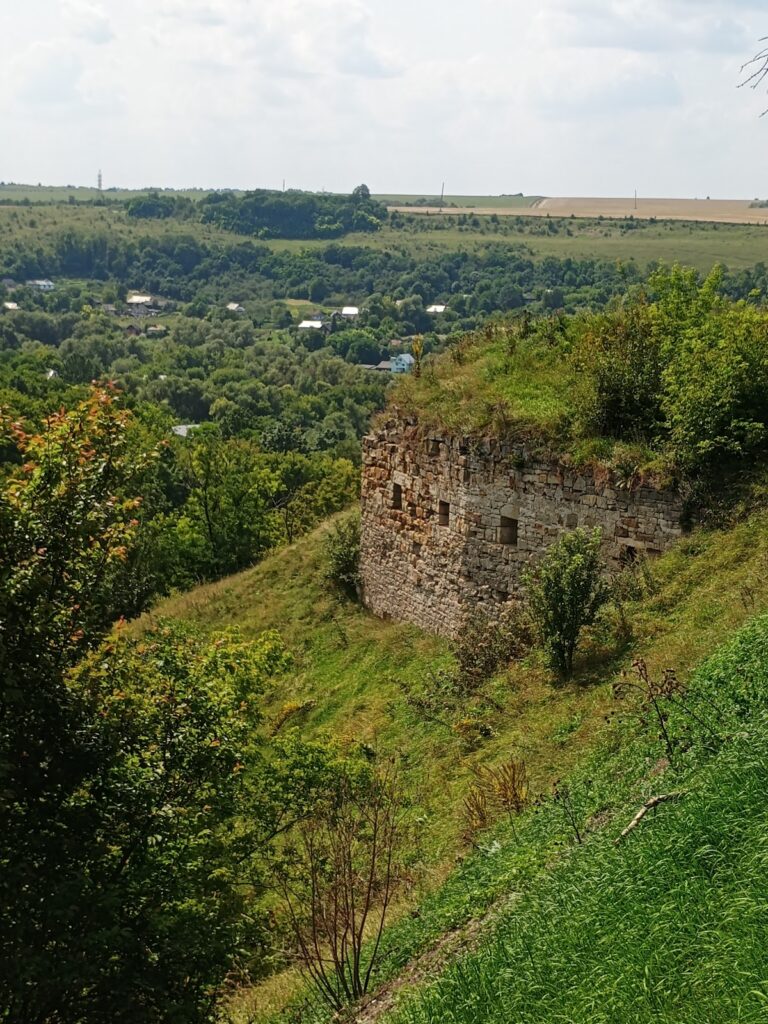
During the Soviet period, officials proposed demolishing the surviving tower, but the plan was not carried out. Letychiv Fortress is entered in Ukraine’s national register of monuments and survives as a ruin.
Remains
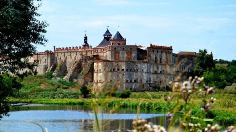
The surviving site combines remnants of a stone fortress with the later Dominican precinct. The castle had a large rectangular courtyard enclosed by high stone walls, while an earthen rampart and water-filled moat strengthened the town-facing side. The fortress was also associated with two ponds, a dam, and another dam on the Southern Bug River. Guillaume de Beauplan’s map depicts the fortress in this form.
Walls, towers, and defensive works
Stone walls and towers
The later castle was enclosed by high stone walls with embrasures, openings through which weapons could be fired. Four round towers stood at the corners, and a quadrangular entrance tower controlled access. Sections of the fortress wall survive around the perimeter, together with the remains of one tower. These remnants are visible from the Vinnytsia–Khmelnytskyi road.
Moat and town-side defences
On the town side, an earthen rampart supported a palisade, a barrier made from closely set wooden stakes. A deep moat filled with water ran between the rampart and the castle walls. A 1765 inspection described the walls as covered or reinforced with stone and earth, with a double palisade facing the town. Entry crossed the moat by a bridge and passed through a gate made of oak stakes. A guardhouse beside the gate accommodated soldiers and prisoners.
Castle buildings and administrative spaces
The 1765 complex contained wooden buildings, an outbuilding, masonry rooms on the south side, and a large courtroom. It also had a wooden upper noble tower with a lower chamber excavated deep into the ground. By 1789, the castle included a chancery holding public records, a spacious courtroom, residences for the records officer and other occupants, and a substantial outbuilding. The towers had masonry construction and were covered with roof tiles.
Dominican church and monastery
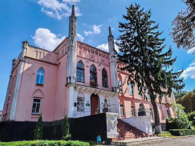
The Dominican church and monastery were later enclosed by the same high wall that had formerly surrounded the castle. One loophole from the fortress survives within this wall. A memorial plaque to Soviet soldiers who died in the camp is mounted on the walls beside the remaining tower.
Nearby sites