Kubota Castle: A Satake Stronghold in Japan
Site at a Glance
- Country
- Japan
- Primary era
- Early Modern
- Eras represented
- Early Modern, Modern
- Civilizations
- Japanese, Tokugawa
- Site type
- Military
- Remains
- Castle
On this page14 sections
History
Before the Satake castle
Kubota Castle is a hill-and-lowland castle on Shimmei-yama in Japan, begun by the Satake clan in 1603 as its stronghold in Dewa Province. Its central enclosure was completed in 1604. The castle combined a hilltop stronghold with lower ground, and became the new base of Satake Yoshinobu after his transfer from Hitachi Province.
Before the castle was built, the Miura family, also called the Kawajiri family, held Shimmei-yama under the Ando clan, also known as the Akita clan. They worshipped Sōja Daimyōjin, the Shinmei Shrine, and subsidiary shrines on the hill. Their stronghold was called Yadome Castle, a name later associated with Kubota Castle’s alternative name, Yadome-jō.
Foundation and growth under the Satake
Yoshinobu reached Minato Castle at Tsuchizaki on September 17, 1602, after being transferred to Dewa. Minato stood on flat ground that was considered difficult to defend, and its limited size could not accommodate the Satake establishment. The clan’s domain was rated at 540,000 koku, a traditional measure of rice yield based on the amount needed to support one person for a year. The former Akita lord’s territory, by comparison, comprised 50,000 koku and 25,000 koku of directly administered land.
Work at Shimmei-yama began in May 1603 under commissioners Kajiwara Masakage and Shibue Masamitsu. The main bailey, the castle’s central defended enclosure, was finished on August 28, 1604. Minato Castle was then demolished, and Kubota took its place as the Satake stronghold. Roads linking the town with neighboring domains were completed that year as well.
The castle town grew through successive planned developments. New districts were laid out in 1607, 1619, and 1629, followed by further road works in 1631. These changes added samurai residential quarters and altered the town’s streets and routes. The castle was also called Kuzune-jō. Documents issued by the Tokugawa shogunate, Japan’s military government during the Edo period, sometimes used the name Akita-jō. That name also belonged to a separate fortified settlement nearby, dating to the Nara period.
Fires and rebuilding
A fire on September 21, 1633, destroyed the main bailey. The lord temporarily stayed at Shibue Mitsuhisa’s residence while repairs were carried out; the castle was repaired in 1635. The name Kubota Castle appears on a map dated 1647. The shift from an earlier written form of the name to its present form is thought to have taken place between 1633 and 1645.
Fire repeatedly damaged the castle during the eighteenth century. On April 2, 1776, a blaze that began in Honcho’s sixth block spread to the main-bailey palace, the Dashi Oshoin, and several gates, including the Anamon, Matsushita, Nagasaka, and Front gates. On July 10, 1778, another fire, possibly caused by lightning, destroyed the main bailey. The lord again used a Shibue family residence as a temporary palace. Repairs to the main-bailey palace were finished on May 24, 1781, and a government office, also used for interrogations, was restored in 1788.
A further fire on May 10, 1797, destroyed long barracks on the north and west sides of the castle, two corner towers, and part of a fence. A three-storey tower is said to have stood before the 1633 fire, but this is unconfirmed: no contemporary plan of the castle survives. The limited use of stone has been attributed either to deference to the shogunate or to a lack of stone-building expertise among Satake retainers. The Satake later undertook stonework during repairs to Edo Castle.
War, abandonment, and park development
During the Boshin War, the 1868–69 civil conflict accompanying the establishment of the Meiji government, the Kubota domain supported the new government. Forces of the northern-domain alliance attacked, particularly troops from Shōnai Domain, while troops from Morioka Domain also fought against the domain. Shōnai forces reached Tsubakidai, about 12 kilometres from Kubota Castle, but withdrew after the Sendai and Yonezawa domains surrendered. The castle itself escaped the fighting.
The government took control of the castle in 1869 and assigned it to the Ministry of War, later renamed the Ministry of the Army. In 1870 the domain government moved to a residence in the lower central district, and the lord’s residence shifted to the upper central district. The following year, the Kubota domain became Akita Domain and the town was renamed Akita Town; the domain system was abolished later that year. A prefectural office occupied the main bailey in 1872 before moving to a former Meitokukan building. The castle was then abandoned, although it was retained under the government’s castle-disposal policy in 1873.
A major fire on July 21, 1880, destroyed nearly all the castle buildings. During the city’s subsequent reconstruction, many moats were filled, and the Naka-dori district developed as an early government-office area in Akita Prefecture. In 1890 the government returned the castle site to the Satake family, which later gave the main and second baileys to Akita City for use as a park.
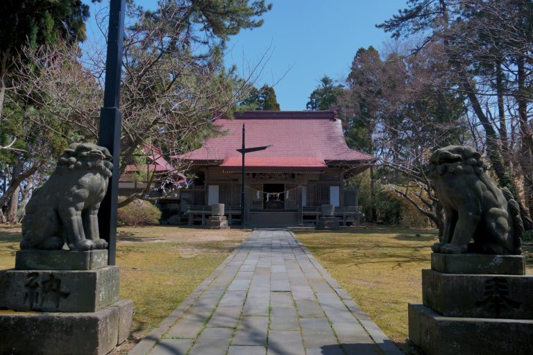
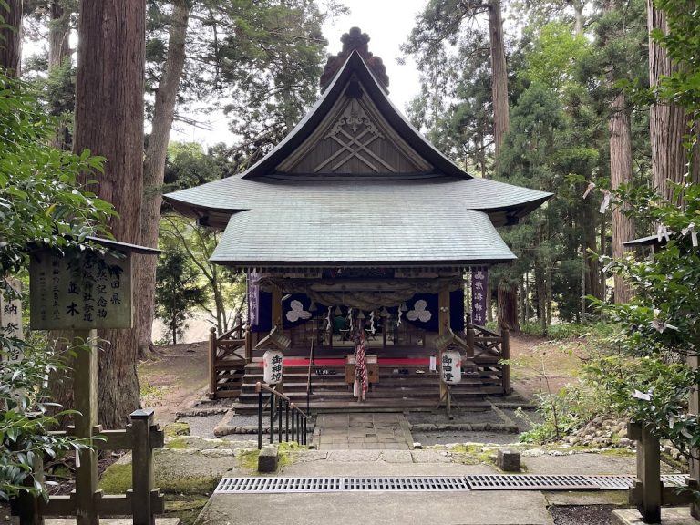
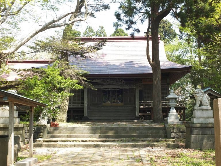
The city planted 1,170 cherry trees and established a Shinto shrine, part of Japan’s indigenous religious tradition, on the main-bailey grounds in 1892. The prefecture took over the park in 1896, commissioned garden designer Nagaoka Yasuhei to create a new layout, and named it Senshu Park. A Hachiman shrine was completed there in 1907, burned in 2005, and was rebuilt in 2007. Another shrine on the grounds is dedicated to Hirata Atsutane.
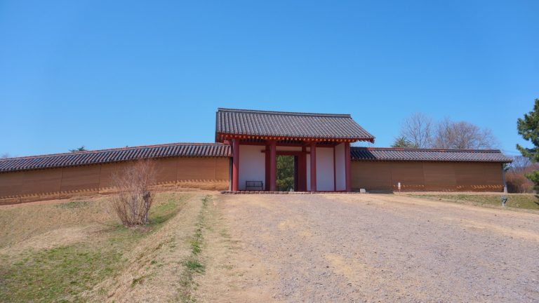
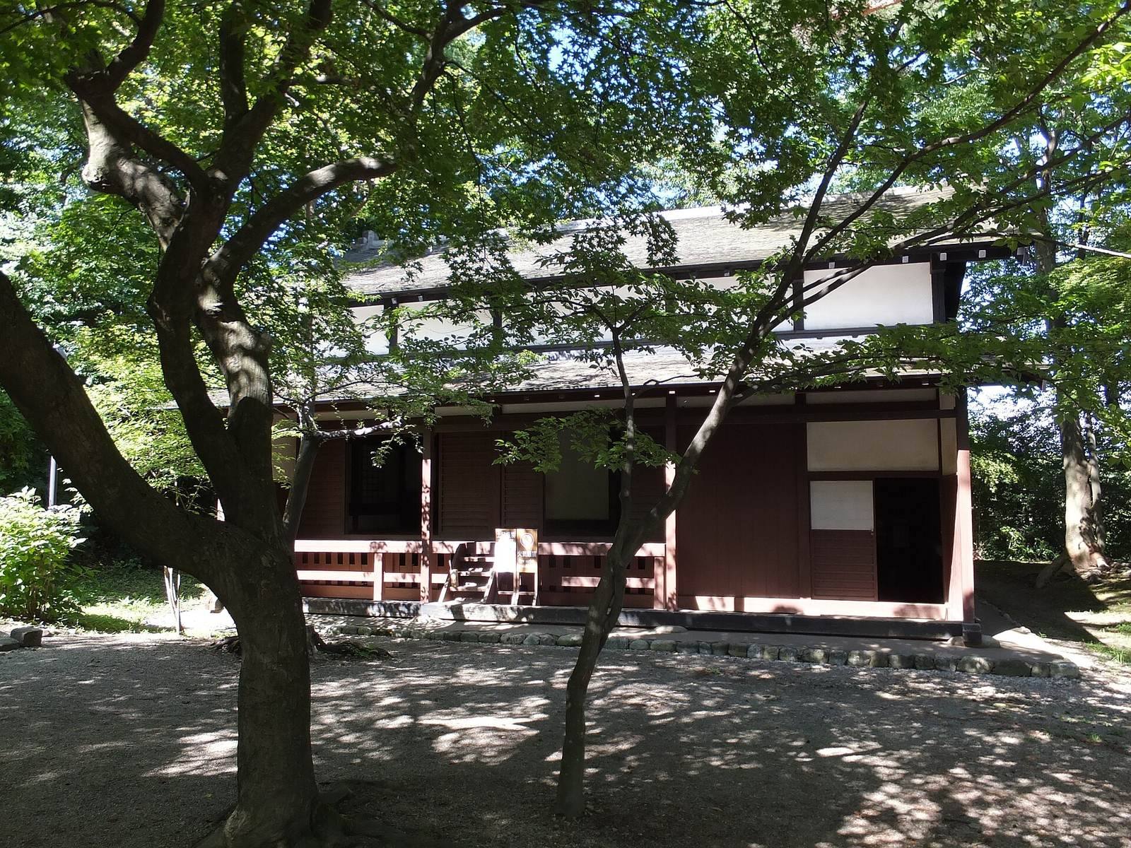
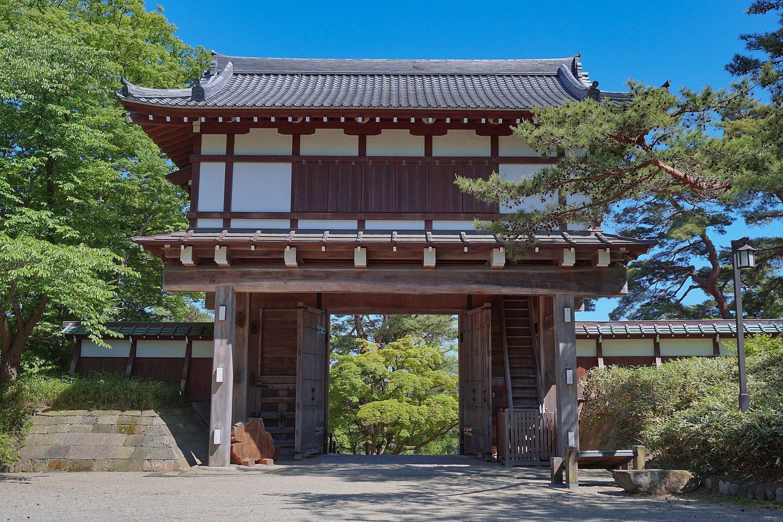
In 1984 the Satake family donated about 14.6 hectares of the former castle grounds to Akita City. The former Kurosawa House, an Edo-period samurai residence, was moved into the park in 1988. A corner tower was reconstructed in 1989, and the Front Gate was rebuilt in wood in 2001. The surviving guardhouse received city tangible cultural property status in 1990, and the Kurosawa House is a national Important Cultural Property. The site joined Japan’s “100 Fine Castles” list in 2006; in 2008, Senshu Park, identified as the Kubota Castle ruins, received Akita City scenic-place status.
Remains
The castle occupied 40-metre-high Shimmei-yama on the left bank of the Asahi River, also called the Nibetsu River, a tributary of the Omono River. The river and nearby wetlands formed part of its defenses. Kubota’s ramparts combined small amounts of stone at their bases with earthen banks above. Its layout extended from the hilltop down across lower ground, with baileys, moats, and residential districts arranged around the principal enclosures.
Enclosures and town layout
Main and second baileys
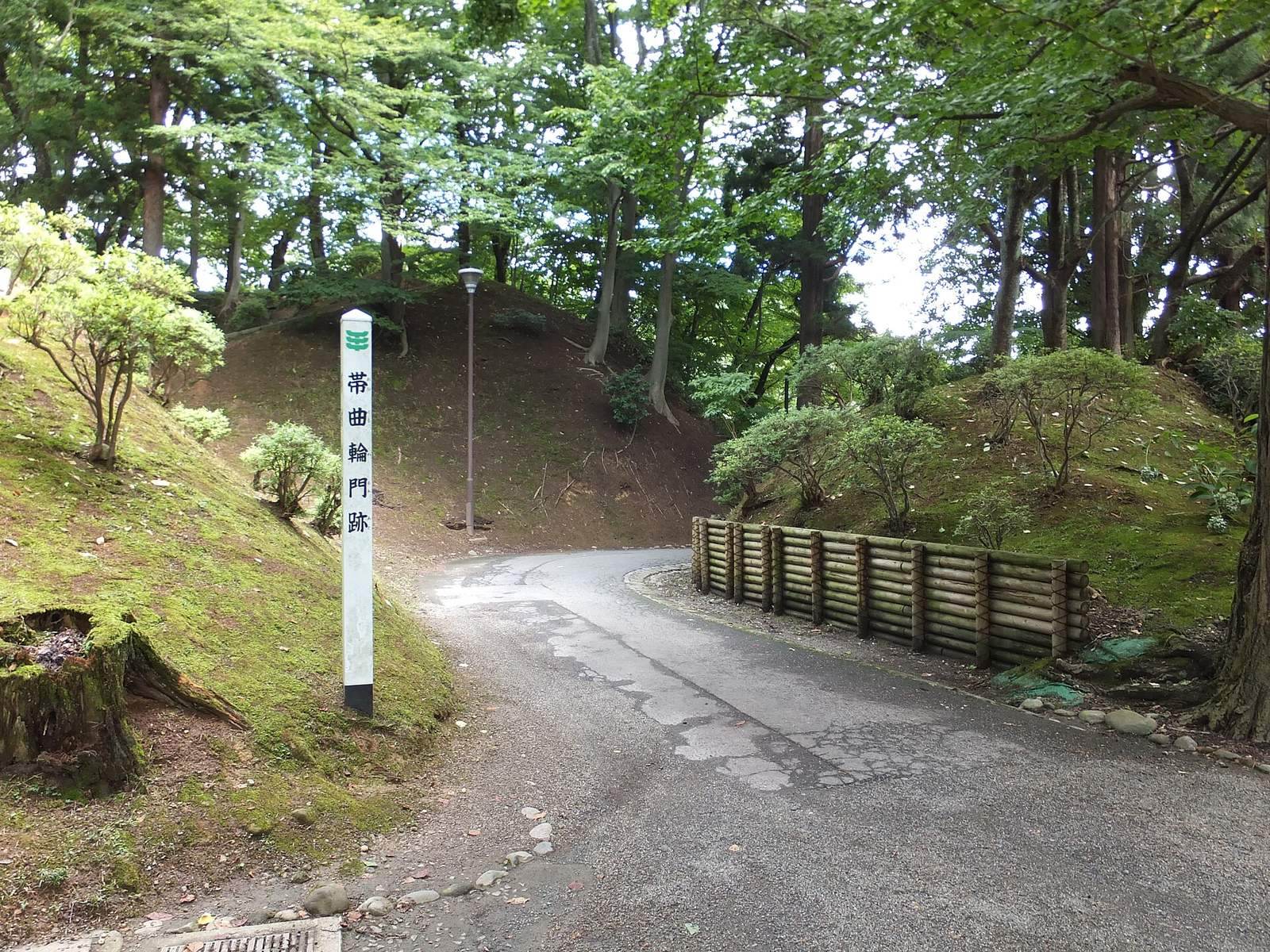
The flattened summit held the main bailey, where the lord’s residence and government offices stood. Long defensive galleries and a plank fence enclosed it. Five entrances served the enclosure: the Front Gate, Rear Gate, Belt-Enclosure Gate, a gate through an earthwork, and a small side gate. The Front Gate was also called the First Gate. The Dashi Oshoin, a single-storey turret-residence, occupied a projecting high point at the bailey’s southwest corner, while eight other watchtowers stood along the ramparts.
The second bailey lay on lower ground east of the main one. It contained offices, a prayer hall, a clock bell, a storehouse, and stables. Its four gates were the Matsushita Gate, Black Gate, Stable Gate (also called the Impure Gate), and Earth Gate (also called the North Gate). They connected with the upper and lower central districts, Yamanote, and Hachiman-yama. The Nagasaka Gate, known as the Second Gate, stood on the approach to the second bailey.
Outer baileys and supporting areas
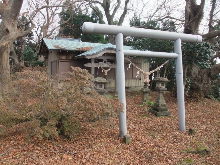
The third bailey curved around the north, east, and south sides of the second. It included residences for senior retainers and subdivisions such as the upper and lower central districts and Yamanote. Hachiman-yama, northwest of the main bailey, also belonged to this outer enclosure. Its Hachiman and Inari shrines and the Buddhist temple Kinjo-in occupied the area instead of samurai residences. Hachiman is associated with protection and warfare, while Inari is associated with rice and prosperity.
Beyond Hachiman-yama, the North Bailey contained a timber-processing yard and rice granaries. The West Enclosure formed an island-like area between inner and outer moats west of the main bailey and held an arms storehouse. The main and second baileys, North Bailey, and West Enclosure were grouped as the First Enclosure; the third bailey was the Second. Nakadori and Kamenomachi formed the Third and Fourth enclosures, while samurai districts without ramparts or moats were classed as the Outer Enclosure. These categories changed over time.
Moats and town districts
Inner moats bordered the main and second baileys, while outer moats enclosed the third. Other water channels ran around the North Bailey and between town districts; many followed former courses of the Asahi River. Remaining sections include parts of the South and East moats, the Anamon moat in front of the western arms storehouse, and the southern Otemon moat.
Samurai residences occupied the inner town, while the merchant district lay west of the castle across the Asahi River and temples were concentrated farther west. Streets in the inner town used bends and staggered junctions, in contrast with the merchant district’s grid. Senior retainers generally lived within the castle or nearby, while lower-ranking retainers were more often assigned to farther districts, except at strategically important places such as gates.
Surviving buildings and reconstructed features
Omonogashira Guardhouse
The surviving Omonogashira Guardhouse dates to the late eighteenth century and is estimated to have been built between 1758 and 1778. It served as the station of the foot-soldier commander responsible for opening and closing the Nagasaka Gate, maintaining town security, and responding to fires.
Corner tower and gates
The reconstructed corner tower represents a two-tier, two-storey weapons storehouse and lookout. The reconstruction has three tiers and four storeys, including an added observation level designed in the style of a lookout. It houses a small history museum. Foundation stones mark former gate sites. When the wooden Front Gate was rebuilt, its original foundation stones were moved inward and preserved on display. The Rear Gate was transferred to a Buddhist temple in 1886 after a temple gate was burned; it was adapted from a two-storey gate to a single-storey structure.
Park buildings and shrines
Senshu Park contains the Satake Historical Material Museum and the relocated former Kurosawa House. The prefectural governor’s residence occupies the former site of the third-bailey palace. The Hachiman shrine on the grounds is the rebuilt shrine completed in 2007, and another shrine is dedicated to Hirata Atsutane.