Kinyakurumazuka Kofun: A Kofun-Period Burial Mound in Japan
Site at a Glance
- Rating
- 3.5
- Popularity
- Very Low
- Country
- Japan
- Primary era
- Classical
- External website
- Open
- Eras represented
- Classical
- Civilizations
- Yamato
- Site type
- Burial
- Remains
- Burial Mound
On this page9 sections
History
Construction in the Kofun period
Kinyakurumazuka Kofun is a large burial mound in Hirakata, Osaka, Japan, built during the Kofun period in the fourth century, probably in its first half or middle. The Kofun period was an era of ancient Japan, conventionally dated from about the third to the sixth centuries, when powerful communities constructed large burial mounds for their elites.
The mound stands near the meeting of the Amano and Yodo rivers. The Yodo River formed an important route between the Seto Inland Sea and the political center of the Kinai region, giving the site a setting closely connected with movement through northern Kawachi. Kinyakurumazuka Kofun is regarded as one of the earliest large kofun in Osaka Prefecture and as an influential chiefly burial in the region.
The tomb is also considered the predecessor burial of Makino Kurumazuka Kofun, a large mound dated to the late fourth century. Together, these monuments help trace changes in elite burial and regional authority during the early centuries of the Kofun period.
Later recognition and preservation
Kinyakurumazuka Kofun appeared in the Edo-period work Kawachi Meisho Zue. Modern investigation began with a mound survey in 1966, followed by work to establish its extent in 1970. Further confirmation of the mound’s southeastern boundary took place in 2006, and additional surveys were carried out during fiscal years 2008 and 2009.
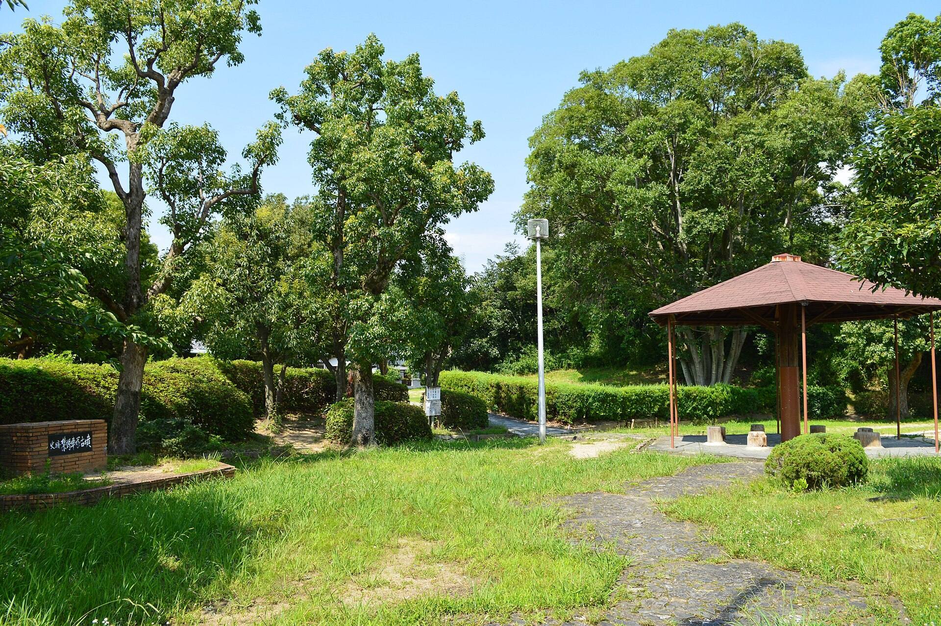
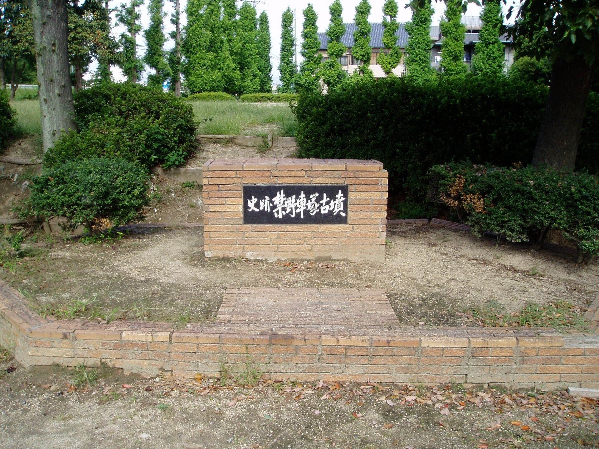
The site became a National Historic Site on March 22, 1972, and the protected area was enlarged on July 26, 2007. It is maintained today as a historic-site park, preserving evidence of an early major burial mound in the northern Kawachi region.
Remains
Mound form and setting
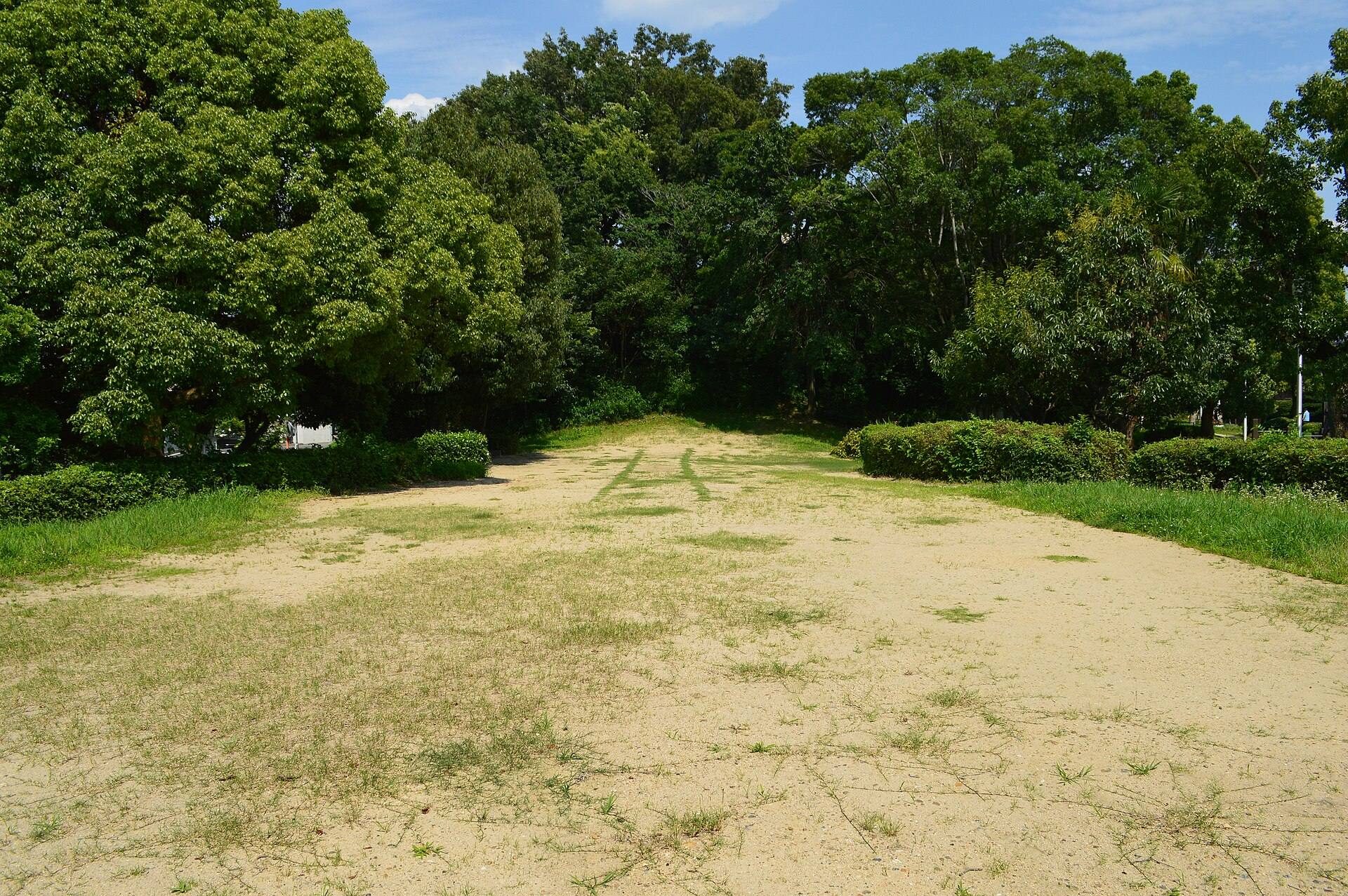
Kinyakurumazuka Kofun is a keyhole-shaped mound approximately 120 meters long, with its main axis running from east to west. Viewed from above, this form combines a circular rear section with a broad anterior section. The anterior part faces west and opens outward in a drumstick-like or trumpet-like shape, while the circular rear section rises higher than the front.
The mound occupies a low terrace on the Yodo River’s left bank and the Amano River’s right bank, among low hills extending northwest from the Ikoma Mountains. Residential development now surrounds the site. The mound was built in two tiers, and a slope runs from the rear circular section toward the narrower junction with the anterior section.
Construction and burial evidence
Stone revetment and haniwa
Stone revetment, known as fukiishi, survives on the lower southern side of the rear circular section. Fukiishi were stones placed over the surface of a burial mound to protect and finish its slopes. Cylindrical and figurative haniwa have also been found on the mound. These were clay objects placed on or around tumuli and could take both simple cylindrical and human or animal forms.
Burial facility
Scattered stone slabs near the top of the rear circular section suggest that the mound may once have contained a vertical pit-type stone chamber. This kind of burial facility was formed by sinking a shaft into the mound and lining it with stone slabs. The precise arrangement of the burial facility and the associated grave goods remain uncertain.
Relationship to other keyhole mounds
The outward-opening anterior section and the slope descending from the rear circular section toward the junction are regarded as comparable to features of Hashihaka Kofun in Sakurai, Nara Prefecture. These formal relationships place Kinyakurumazuka Kofun within the wider development of large keyhole-shaped tombs during the early Kofun period.