Makino Kurumazuka Kofun: A Keyhole Burial Mound in Japan
Site at a Glance
- Rating
- 3.8
- Popularity
- Very Low
- Country
- Japan
- Primary era
- Classical
- External website
- Open
- Eras represented
- Classical
- Civilizations
- Unclassified
- Site type
- Burial
- Remains
- Burial Mound
On this page6 sections
History
Makino Kurumazuka Kofun is a large keyhole-shaped burial mound in Hirakata, Japan, built around the late fourth century during the middle of the early Kofun period. The Kofun period was an era when Japan’s ruling elite commissioned large burial mounds. The tumulus stands on the left bank of the Yodo River, near the northern edge of the Hirakata Plateau and the Katano Plateau, close to the left bank of the Hotani River.
Construction and Regional Setting
Makino Kurumazuka Kofun is regarded, together with Kinya Kurumazuka Kofun, as one of the large mounds associated with movement along the Yodo River. It is also regarded as the tomb of a successor to the leader buried at Kinya Kurumazuka Kofun. The surrounding area continued to serve as a burial zone until approximately the beginning of the seventh century. Place-names connected with other burial mounds survive nearby, while excavations at the Ogura Higashi site north of the tumulus identified a group of square burial mounds. Several smaller mounds southwest of Makino Kurumazuka Kofun were destroyed by urban development.
Protection and Investigation
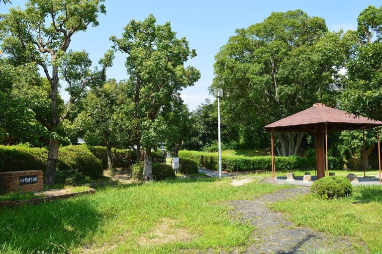
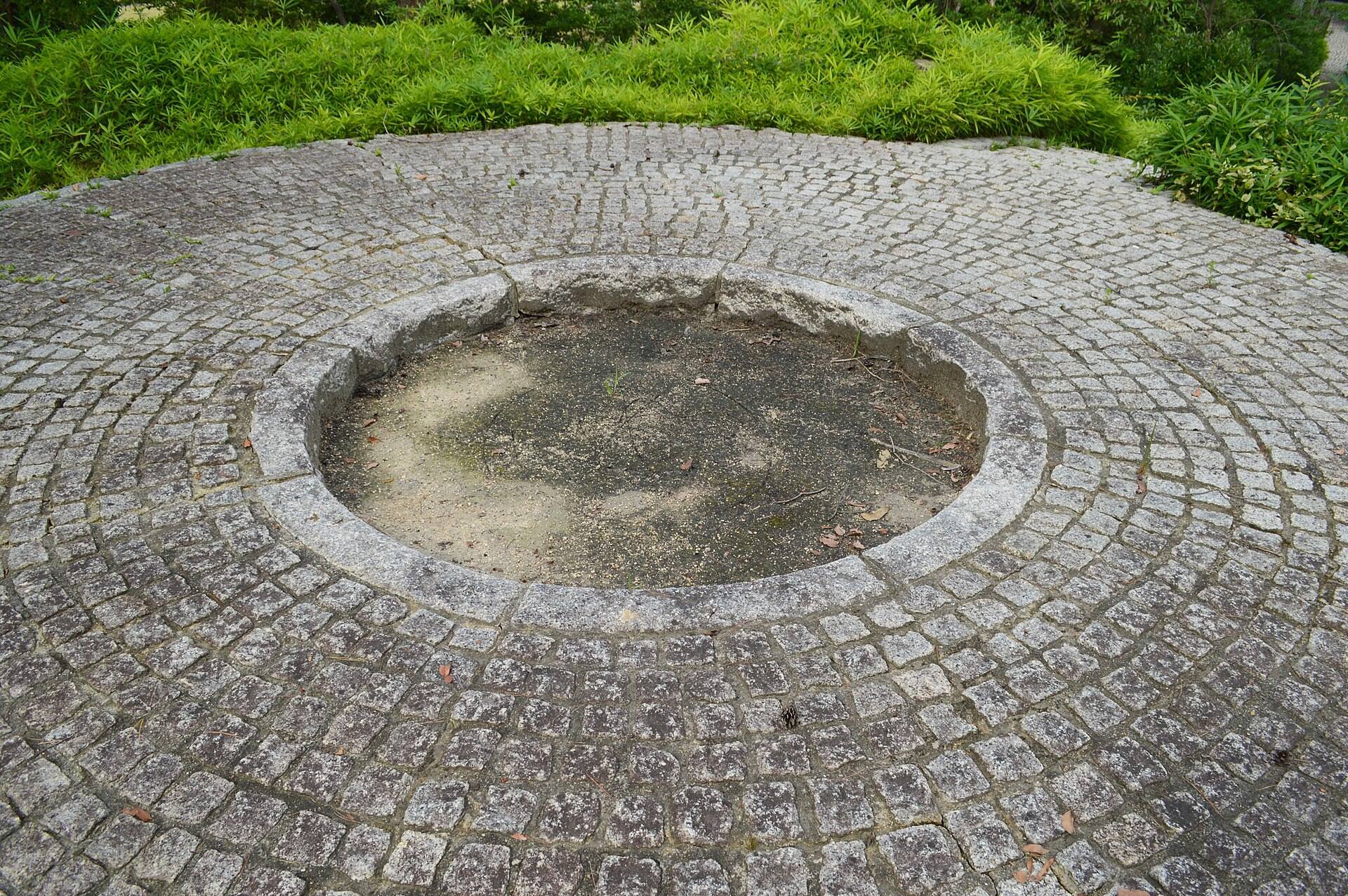
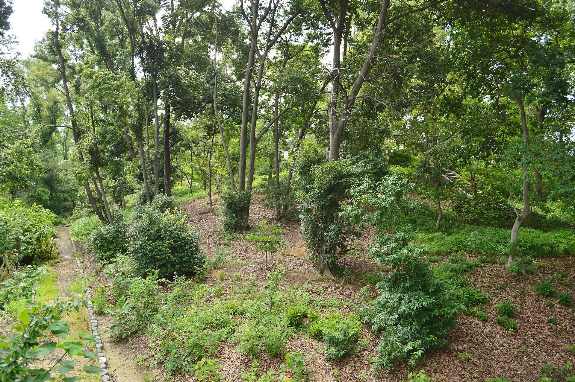
The tumulus became a National Historic Site on March 8, 1922, and its protected area was expanded on February 19, 1980. Investigation began in 1978 with a survey of the western side of the outer embankment beside the circular rear portion. A second investigation in 2004 examined the front portion and surrounding moat, followed by mound measurements carried out between 2007 and 2009. The site is maintained and presented within Kurumazuka Park.
Remains
Mound and Moat
Makino Kurumazuka Kofun has the plan known as a zenpō-kōen-fun, a keyhole-shaped mound combining a circular rear section with a squarish front section. Its main axis runs from east to west, with the front portion facing east. The tumulus is approximately 107.5 meters long, rises to an elevation of about 22 meters, and was built in two tiers. The circular rear portion is approximately 54.5 meters in diameter.
A surrounding moat is approximately 10 meters wide. An outer embankment originally encircled the mound, and sections survive on the western and southern sides. Including the moat, the site is considered the largest example of its kind in the northern Kawachi region.
Surface Materials and Objects
Stone slabs known as fukiishi, which covered the surface of the burial mound, remain part of its construction. These stones are distinctive because slabs were used rather than the river stones common at many other tumuli. The material came from areas corresponding to present-day Tokushima and Hyogo prefectures. Haniwa, clay funerary objects commonly placed on or around Kofun-period mounds, have been found on the surface and in the surrounding area.