Khirbet Yarda: A Manor and 1948 War Site in Israel
Site at a Glance
- Popularity
- Medium
- Country
- Israel
- Primary era
- Modern
- Eras represented
- Modern
- Civilizations
- Ottoman
- Site type
- Economic
- Remains
- Caravanserai
On this page11 sections
History
Khirbet Yarda is a former Palestinian hamlet and manor site in Israel, about 10.5 km northeast of Safad. The Arabic word khirbet means “ruin.” A manor was built there in 1875, and the site later saw battles that halted the Syrian advance toward Galilee in 1948.
Ottoman-era manor and hamlet
In the late Ottoman period, the final phase of Ottoman imperial rule, Yarda occupied a place called Kh el-Loziyeh. The name Yarda is Aramaic for “water spring,” though other proposed explanations connect it to a root meaning “to enter” or to an Aramaic expression for an annual trading market. Kh el-Loziyeh was interpreted as “ruin of the almond tree.”
The 1931 census counted 13 Muslim residents in three houses. The Jewish National Fund, an Israeli organization associated with land acquisition and development, acquired the manor and its lands in 1936. In 1945, Yarda had 20 Muslim residents, who held 1,367 dunams of land. Of this, 1,359 dunams were used for cereal cultivation and eight were classified as uncultivable.
War and the postwar border
Shortly after the United Nations partition resolution of 29 November 1947, which recommended dividing British-administered Palestine into Arab and Jewish states, units of the Army of Salvation attacked Khirbet Yarda. Led by Fawzi al-Qawuqji, the Army of Salvation was an Arab volunteer force. The Oded and Carmeli brigades defended the site against its forces and later against Syrian troops.
Syrian forces entered by the road from Daughters of Jacob Bridge in June 1948, captured Mishmar ha-Yarden, and advanced westward before being stopped at Yarda ahead of the first truce. Heavy fighting followed the truce. Syrian forces took the site on 16 July, but Carmeli Brigade units and a company from the Golani Brigade’s 13th Battalion retook it overnight on 16–17 July. Carmeli battalions 22, 23, and 24 bore the main burden of the battle, which halted the Syrian advance toward Galilee.
Yarda was depopulated during the 1947–49 Palestine war, although the timing and circumstances are uncertain. It may have been occupied during Operation Yiftah, a 1948 military campaign, in April or May, but residents still lived there when the operation ended. After the July 1949 armistice, the village lay at the edge of the area designated as a demilitarized zone between Israel and Syria. Armistice talks between the two countries began opposite Yarda, on the Mahanaim–Mishmar ha-Yarden road. Some village land passed to Ayyelet ha-Shahar, and Mishmar ha-Yarden was established on village land in 1949. Yarda’s residents may have been displaced later. Historian Benny Morris has described Israeli authorities using direct and indirect pressure to expel residents of two other villages in the zone between 1949 and 1956, but Yarda’s circumstances remain unclear.
Remains
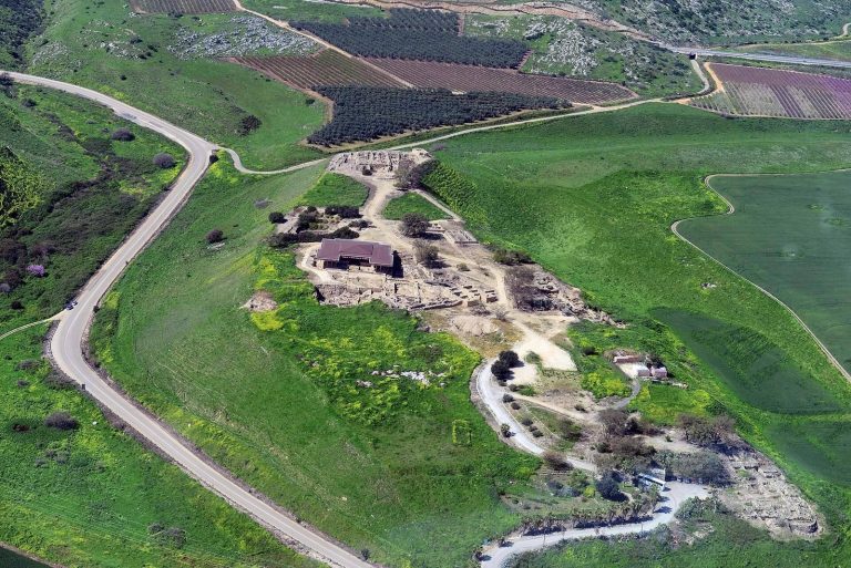
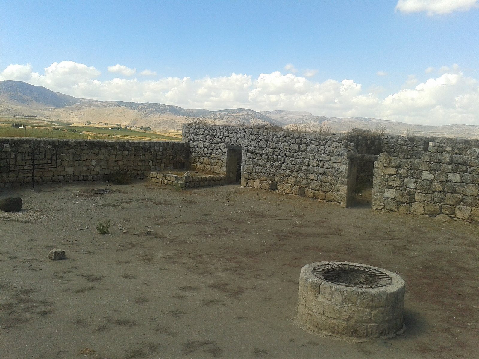
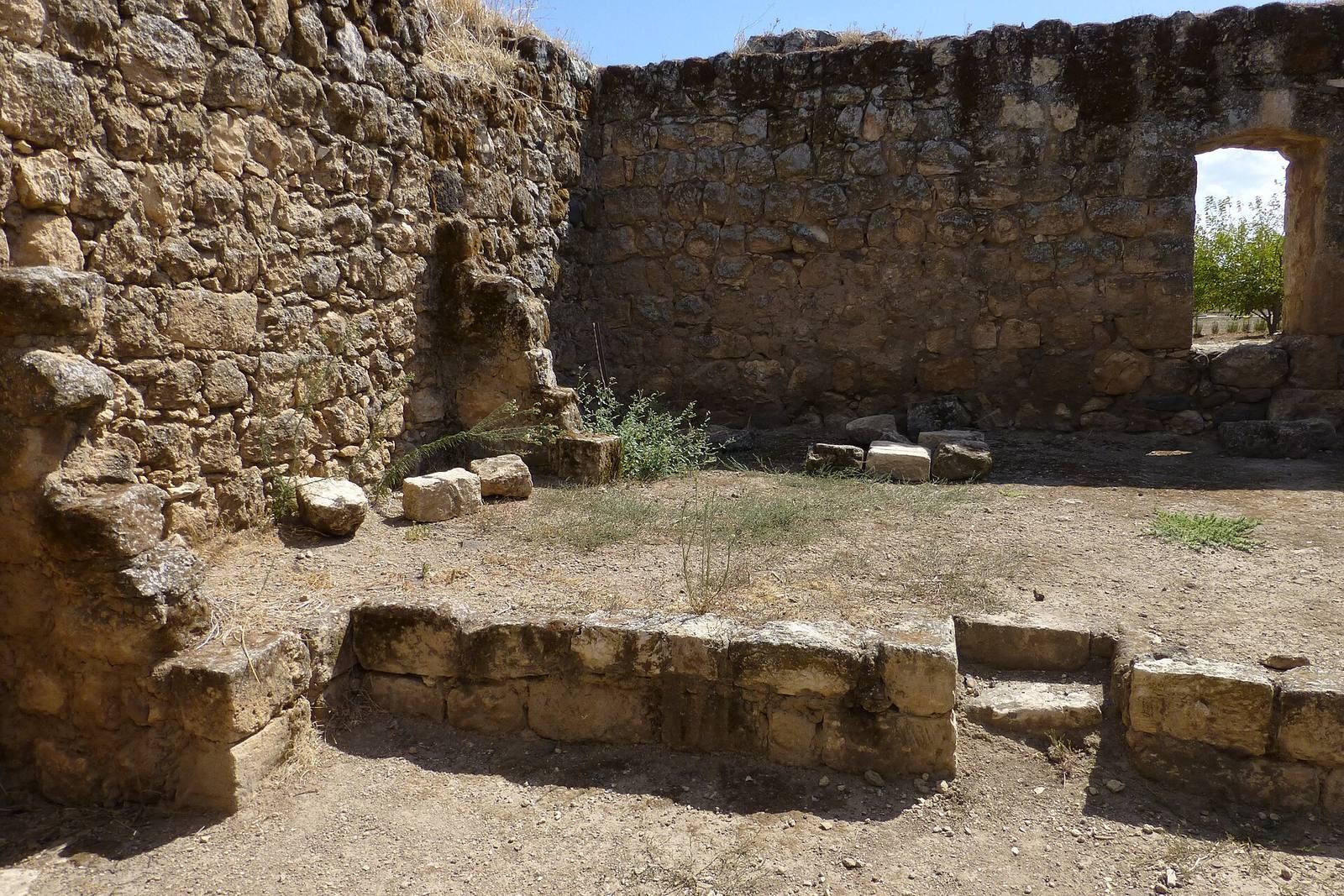
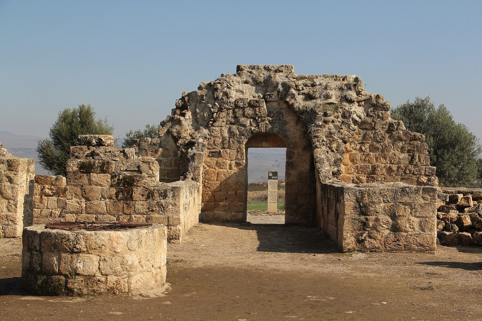
The site occupies a spur of the Korazim Plateau, 705 feet above sea level, overlooking the Hula Valley, surrounding mountains, the Golan, and Mishmar ha-Yarden. Its principal building is a square manor, with house remains elsewhere on the site and a memorial east of the ruins.
Manor and hamlet remains
The khan
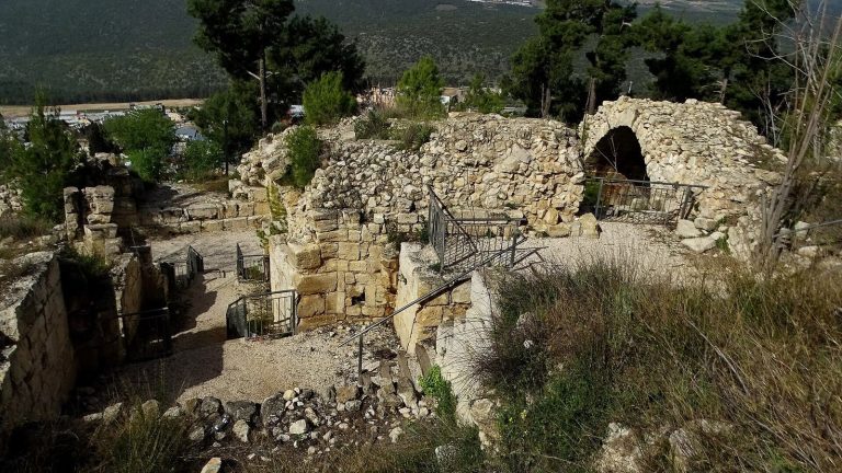
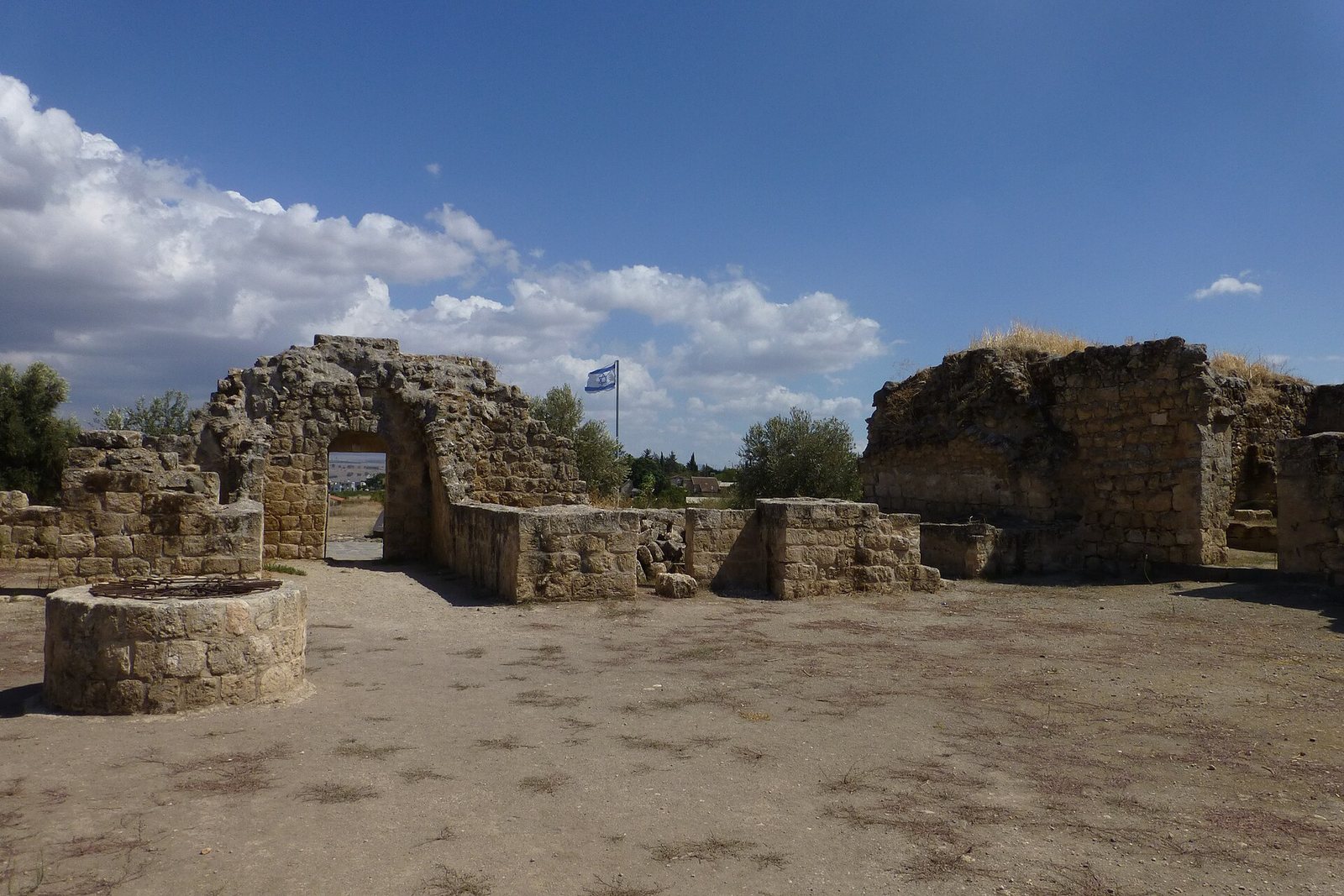
The manor’s main building is a square khan, an enclosed lodging traditionally used by travelers and their animals. It surrounds an inner courtyard with a covered cistern. Gates open on the west and east sides, and each of its three wings contains three or four rooms. Bullet impacts from the 1948 war mark the east wall. Conservation began in the 1990s, and partial restoration of the khan was completed in 2007.
Houses, water, and archaeological finds
A description from 1992 noted truncated walls of houses and the khan still standing, stones from collapsed houses scattered across the site, and part of the land used as pasture. Ein Yarda spring rises at the foot of the spur in the channel of Mahanaim Stream, and a well is also identified at Yarda. Pottery and coins represent the Late Roman period, the later centuries of Roman rule, as well as the early Arab period and the Mamluk era, when a military dynasty governed Egypt and parts of the Levant.
War memorial
East of the ruins, a memorial bears the names of 103 soldiers killed in battles at Khirbet Yarda and in the surrounding area. They served with the Carmeli, Golani, and Oded brigades, artillery, territorial-defense units, and other forces.
Nearby archaeological remains
Kh el-Loziyeh
At Kh el-Loziyeh, the place occupied by Yarda in the late Ottoman period, surveyors from the Palestine Exploration Fund found caves and ruined cattle sheds in 1881.
Khirbat Waqqas
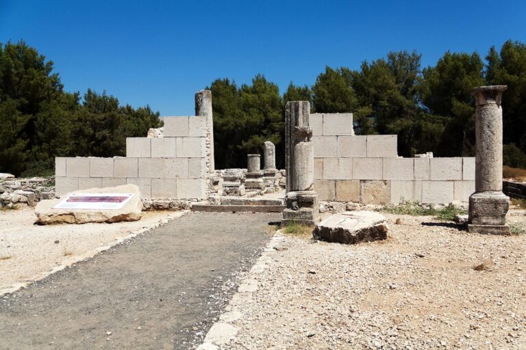
Khirbat Waqqas, northwest of Yarda, has been identified with Hazor, a major Canaanite city. The place-name was interpreted as “ruin of a man with a broken neck.” In 1875, French geographer and archaeologist Victor Guérin described an east–west building there, probably a church, decorated with single-block limestone columns. Column fragments lay nearby, similar pieces appeared in neighboring houses, and cut stones were thought to belong to the building. A small enclosure contained a broken column dedicated to a holy man, while house ruins covered a hillock to the south. Surveyors from the Palestine Exploration Fund found cattle sheds there in 1881.