Kenfig Castle: A Norman Stronghold and Administrative Centre
Site at a Glance
- Popularity
- High
- Country
- United Kingdom
- Primary era
- Medieval
- Eras represented
- Medieval
- Civilizations
- English, Norman
- Site type
- Military
- Remains
- Castle
On this page12 sections
History
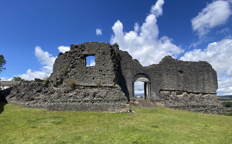
Kenfig Castle is a medieval castle in Wales, United Kingdom, built around 1140 by Robert, Earl of Gloucester, as a Norman stronghold and administrative centre.
Foundation and settlement
An earlier castle at Kenfig was probably the one Iestyn ap Gwrgan, a Welsh ruler associated with Glamorgan, refortified in 1080. It was likely a different structure from the castle built beside the later town. Around 1140, Robert, a Norman-descended lord who held Glamorgan, raised a castle mound at Kenfig.
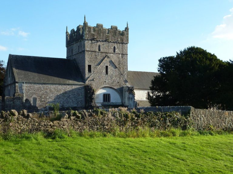
A steep ridge north of the Kenfig River led the Roman road toward western Wales to follow the coast here. Later, a harbour developed at the river mouth, and a settlement grew south of the castle. St James’s Church was built between 1151 and 1154. By 1183, Kenfig had a borough, a town with recognized civic status, and had become an important trading and administrative centre in the southern part of the lordship of Glamorgan.
Welsh attacks and reconstruction
Welsh forces attacked Kenfig at least nine times during the 12th and 13th centuries. On 13 January 1167, Morgan ap Caradog sacked the settlement. In 1183 or 1184, after the death of William FitzRobert, another attack damaged the castle and the borough’s defenses. Hywel ap Maredudd struck around 1228 and again in the early 1240s. In 1232, Morgan Gam captured the town and all of the castle except its keep, the principal fortified tower. Llywelyn ap Gruffydd attacked in 1257.
The town was attacked in 1294 and 1295 during the Welsh revolt led by Madog ap Llywelyn against English rule. In 1295, Morgan ap Maredudd took the town and damaged parts of the castle. The castle was substantially rebuilt in the early 14th century, but Llywelyn Bren’s rebellion in Glamorgan brought its destruction in 1316. It was attacked again in 1321 during the Despenser War, a conflict between Hugh le Despenser and his opponents.
Abandonment and excavation
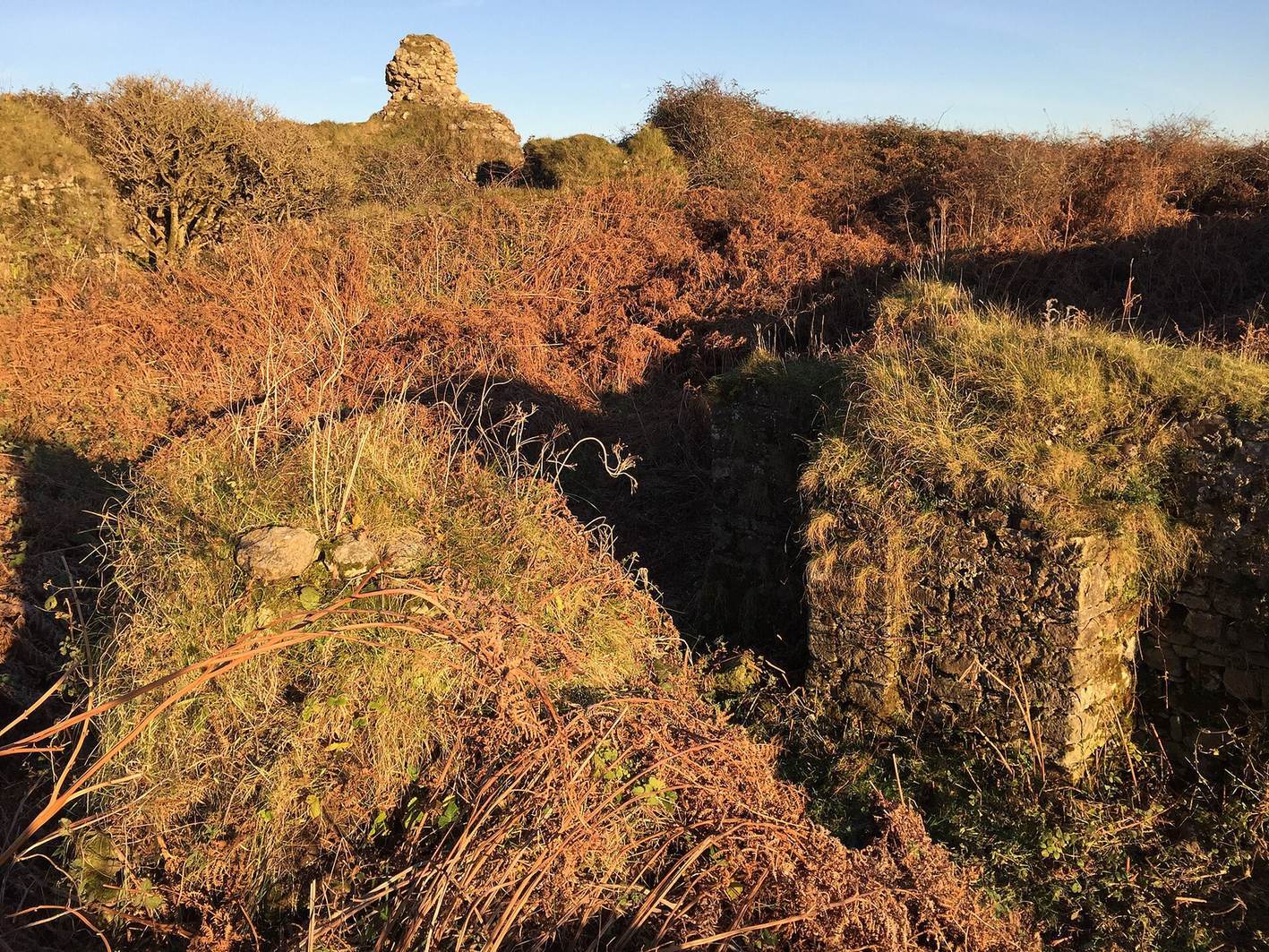
Despite repeated damage, advancing sand dunes eventually led people to abandon the castle and old town during the later Middle Ages. Pyle, about 2.4 kilometres east, developed in place of the borough. Around 1539, the English antiquary and topographer John Leland described the village and castle as ruined and nearly overwhelmed by sand.
The Aberafon and Margam Historical Society began excavating the castle in 1924. Work during the 1920s and early 1930s removed much of the sand. Kenfig Castle is protected in Wales as a Scheduled Monument, a legally protected archaeological or historic site.
Remains
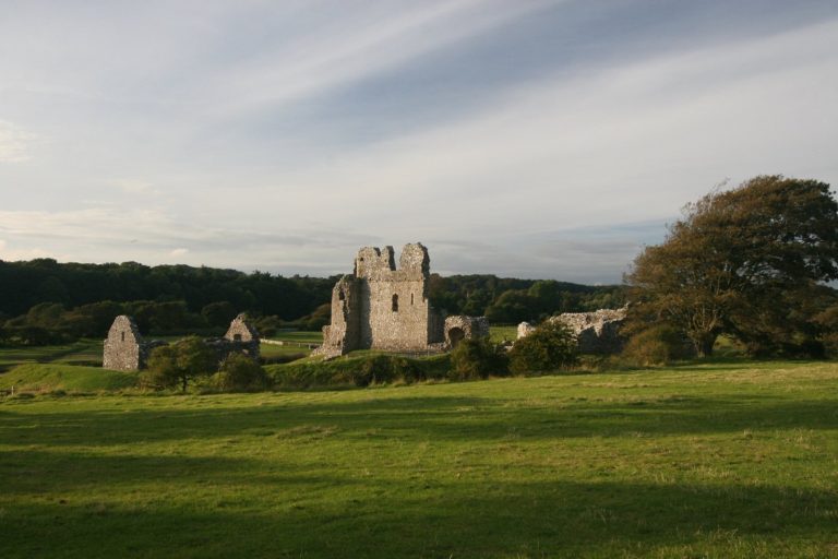
The castle stands on a mound on the south bank of the Kenfig River, with the river along its northern and western sides. Its layout paired a compact inner enclosure with a larger bailey to the south. The ruins lie within the dunes of the 66-hectare Kenfig National Nature Reserve, about 10 kilometres west of Bridgend.
Enclosures and defenses
Inner ward
The inner ward, or enclosed inner castle yard, measured about 37 metres across. A ring wall enclosed it, and a deep ditch supplied by the Kenfig River protected its perimeter.
Southern bailey
The larger bailey, an enclosed castle yard, lay south of the inner ward. A bank and ditch defended it, and the area later became part of the settlement.
Later fortifications
During the early 14th-century rebuilding, ramparts were removed to level the court. A curtain wall, a defensive wall enclosing a castle area, and a large gatehouse leading toward the borough were added.
Buildings
Keep and tower
The surviving keep is a freestanding square tower about 14 metres on each side, with an entrance at its southwestern corner. Projecting supports of carefully cut stone reinforced each corner and the midpoint of every side. A stone tower was erected in 1185, partly using stone from Roman buildings, and the tower was substantially rebuilt in the early 14th century. Only its uppermost portion now rises above the sand. The keep contained offices.
Hall and other buildings
A residential hall stood in the southern bailey. Foundation traces of other buildings remain southwest of the keep.