Iuliomagus: A Roman Town in Switzerland
Site at a Glance
- Popularity
- Medium
- Country
- Switzerland
- Primary era
- Classical
- Eras represented
- Classical
- Civilizations
- Roman
- Site type
- City
On this page10 sections
History
Iuliomagus was a Roman town near present-day Schleitheim in the Canton of Schaffhausen, Switzerland, within Germania Superior, a Roman province in the upper Rhine region. Its beginnings are uncertain. Archaeological interpretations usually place the settlement’s start around AD 70, though an earlier civilian settlement has also been proposed. A local tradition instead dates its foundation to AD 15 and credits the emperor Tiberius with establishing it as a memorial to the Julian imperial house, the ruling family associated with Julius Caesar and Augustus.
Founding and Roman development
Iuliomagus served residential, market, craft, religious, and bathing functions. It may have been the principal town of a civitas, a local community and its territory within the Roman provincial system, but this role is not certain. Three rural estates have also been identified in the surrounding area.
A Roman road connected Iuliomagus with Vindonissa, Tenedo, Brigobanne, and Arae Flaviae, Roman settlements at present-day Windisch, Bad Zurzach, Hüfingen, and Rottweil. Some reconstructions place its construction by the 13th Legion, a major unit of the Roman army, around AD 45. The road’s development is also linked with the military campaign of AD 74-75, led by the Roman commander Gnaeus Pinarius Cornelius Clemens. That campaign advanced Roman military activity through the region and involved road building, although whether it amounted to a conquest remains uncertain.
The 11th Legion was stationed at nearby Vindonissa from AD 70 to 101. Bricks bearing its stamps, found at Iuliomagus, indicate that building work in the town had begun. The town’s name survives only in the Tabula Peutingeriana, a medieval copy of a late-antique Roman road map.
Frontier change and later traces
In AD 259-260, Rome permanently lost territory north of the High Rhine. Roman residents appear to have withdrawn over time as Alamannic groups, a confederation of Germanic peoples, moved into the region.
The rediscovery of extensive ruins near Schleitheim has been linked to village rebuilding in the Randental after Hungarian raids in the 10th century. Some ancient building materials were reused, while exposed walls were left to decay.
Rediscovery and excavation
In 1844, Heinrich Schreiber identified Iuliomagus with Schleitheim, using the approximate position shown on the Tabula Peutingeriana. This identification helped lead to systematic excavation from around 1860 and the discovery of the Roman settlement. Local and historical associations took part in the early work, followed later by the archaeological service of the Canton of Schaffhausen. Further finds were recorded between 1871 and 1922, though their purposes were not then securely understood.
Remains
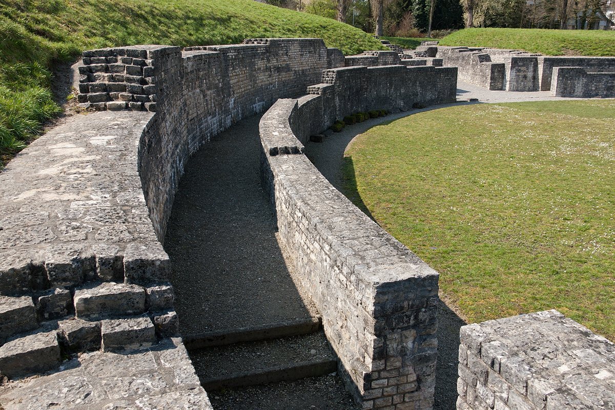
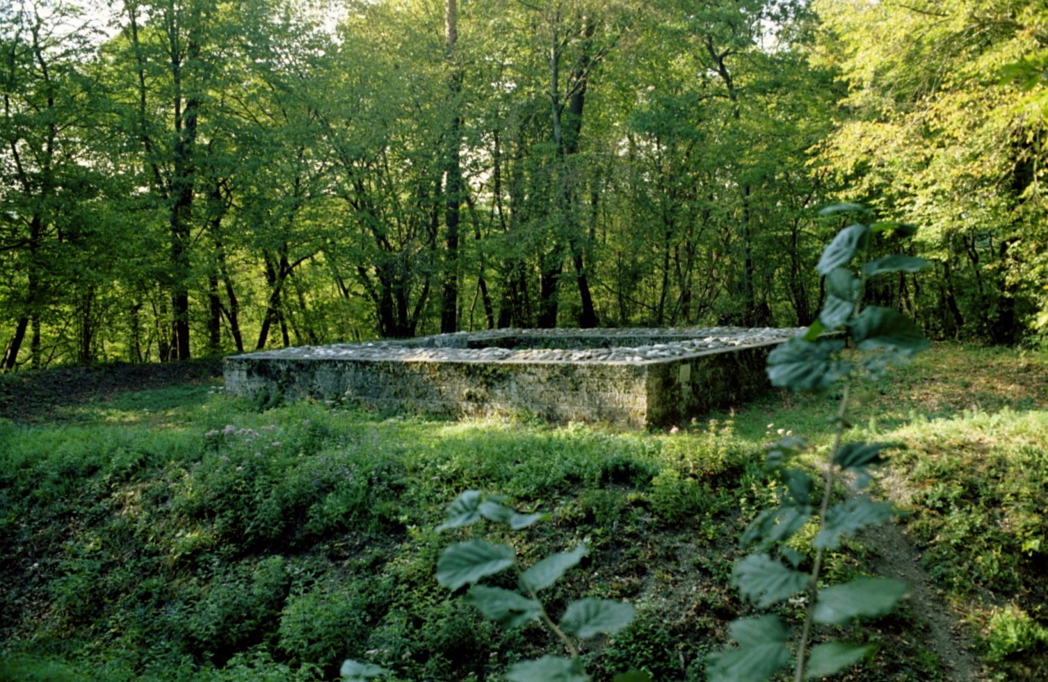
The settlement covered about six hectares in the Zwerenbach valley, on the north-facing slope of the Siblinger Spitze, and its archaeological areas extend along the stream. The Roman road ran through the town, alongside residential, workshop, and market areas. Surviving evidence includes timber buildings, a bath complex, and a temple precinct. Most excavated structures have been reburied.
Bath complex
Excavations in the winter of 1974-75 exposed a substantial part of the bathing complex, with an examined area of about 1,550 square metres. Its warm rooms had underfloor heating. A large lead basin found there measured 120 centimetres across and held about 1,000 litres. Finds include mass-produced pottery and small objects of metal, bone, and glass, among them window-glass fragments and perfume bottles. These objects are held at the local history museum in Schleitheim and the Museum zu Allerheiligen in Schaffhausen. Some bath remains are conserved beneath a protective covering and displayed in the Baths Museum.
Temples, homes, and workshops
The settlement included a large main temple and a smaller Gallo-Roman ambulatory temple, a local and Roman blend of religious traditions with a covered walkway around the central sanctuary. Small timber buildings and residential and workshop areas form part of the wider archaeological remains. A villa, meaning a rural estate with a substantial residence and agricultural buildings, is considered possible in the area.
Market and road remains
Commercial buildings
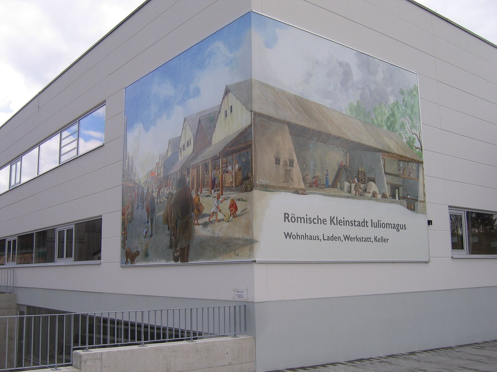
In the settlement’s northwest, the market and commercial area lay beside a section of the Zwerenbach that once flowed farther east. The Romans diverted the stream before constructing timber post-and-frame buildings about 7 to 13 metres wide and originally around 20 metres long. After a fire in the early second century, some were partly rebuilt in stone and given basements. A marketplace is suspected in this area. A 1995 survey located two building foundations, and further remains were found in 2000. Structures beneath a commercial building were restored in 2009 and can be seen from outside; two reconstruction paintings are displayed on the building.
Road and burial remains
Part of the Roman road through Iuliomagus was investigated shortly before 2007. In 2001, evidence of a cemetery was found beside the southern road leading out of the settlement. A fifth-century grave assemblage from Iuliomagus pairs the burial goods of a young Germanic woman with a late Roman man’s belt.