Dholavira: A Planned Harappan City in Gujarat
Site at a Glance
- Popularity
- Very High
- Country
- India
- Primary era
- Bronze Age
- Eras represented
- Stone Age, Bronze Age
- Civilizations
- Indus Valley
- Site type
- City
On this page16 sections
History
Dholavira is a major urban center of the Indus Valley Civilization, also known as the Harappan civilization, on Khadirbet island in Gujarat, India. A revised chronology places its occupation from about 3500 BCE to around 1800 BCE. It is among the five largest known Harappan sites and provides early evidence of complex urban life in South Asia.
Occupation and chronology
A seven-stage sequence describes Dholavira’s occupation. In a revised chronology, radiocarbon dating, which estimates the age of organic material, and comparisons with Amri II-B, a pottery phase used for archaeological dating, place the first two stages in the Pre-Harappan Dholaviran culture. Stage I dates to about 3500–3200 BCE and Stage II to about 3200–2600 BCE. This revised sequence suggests that occupation continued until around 1800 BCE.
An earlier chronology placed the settlement’s beginnings around 2650 BCE, followed by gradual decline after about 2100 BCE, a short abandonment, and reoccupation until roughly 1450 BCE. Earthquakes repeatedly affected Dholavira, including a particularly severe event around 2600 BCE.
Rediscovery and significance
Shambhudan Gadhvi, a resident of the nearby village of Dholavira, brought the site to government attention in the early 1960s. J. P. Joshi of the Archaeological Survey of India, India’s national archaeological and heritage body, formally discovered it in 1967–68. Excavations began under R. S. Bisht’s direction in 1989. Thirteen field excavations took place between 1990 and 2005, and the Archaeological Survey of India has continued work at the site since 1990. These investigations brought the city’s planning and architecture to light and recovered extensive archaeological material.
Dholavira is regarded as an important trading center connecting settlements in southern Gujarat, Sindh, and Punjab with western Asia. A coastal route linking Dholavira and Lothal, another major Harappan site, with Sutkagan Dor on the Makran coast has also been proposed. The site is credited with providing the earliest evidence of a playing field. On 27 July 2021, UNESCO added Dholavira to the World Heritage List as “Dholavira: A Harappan City”; it is also a monument of national importance.
Remains
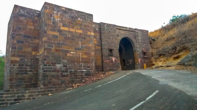
Dholavira is a quadrangular, geometrically planned settlement divided into a citadel, middle town, and lower town. It lies between the seasonal Mansar stream to the north and the Manhar stream to the south, in the Great Rann of Kutch, within the Kutch Desert Wildlife Sanctuary and near the Tropic of Cancer. Stone, sourced from nearby quarries, was the principal building material, unlike the predominantly brick construction at most other Harappan sites.
City plan and defenses
Urban divisions
The city covers about 47 hectares, while the area enclosed by its general fortifications measures about 48 hectares. Its stated dimensions are 771.1 m long and 616.85 m wide. The citadel occupied much of the southwest, while the middle and lower towns formed the other planned districts. The citadel and middle town each had defensive works, gateways, built-up areas, streets, wells, and broad open spaces.
Citadel and outer settlement
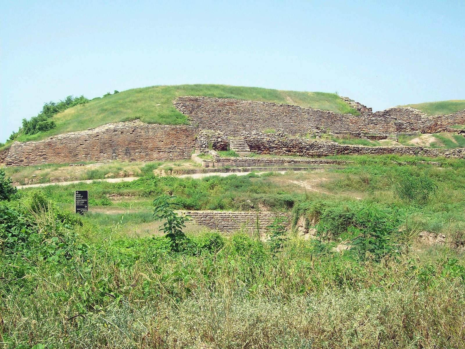
The raised citadel, the settlement’s most complex and heavily defended sector, was protected by two defensive embankments. An enclosed area beside it housed important officials. Built-up areas extended beyond the fortified city, and another settlement lay outside its walls. The fortifications also formed part of Dholavira’s system for holding and directing water.
Water management and drainage
Reservoirs and stepwell
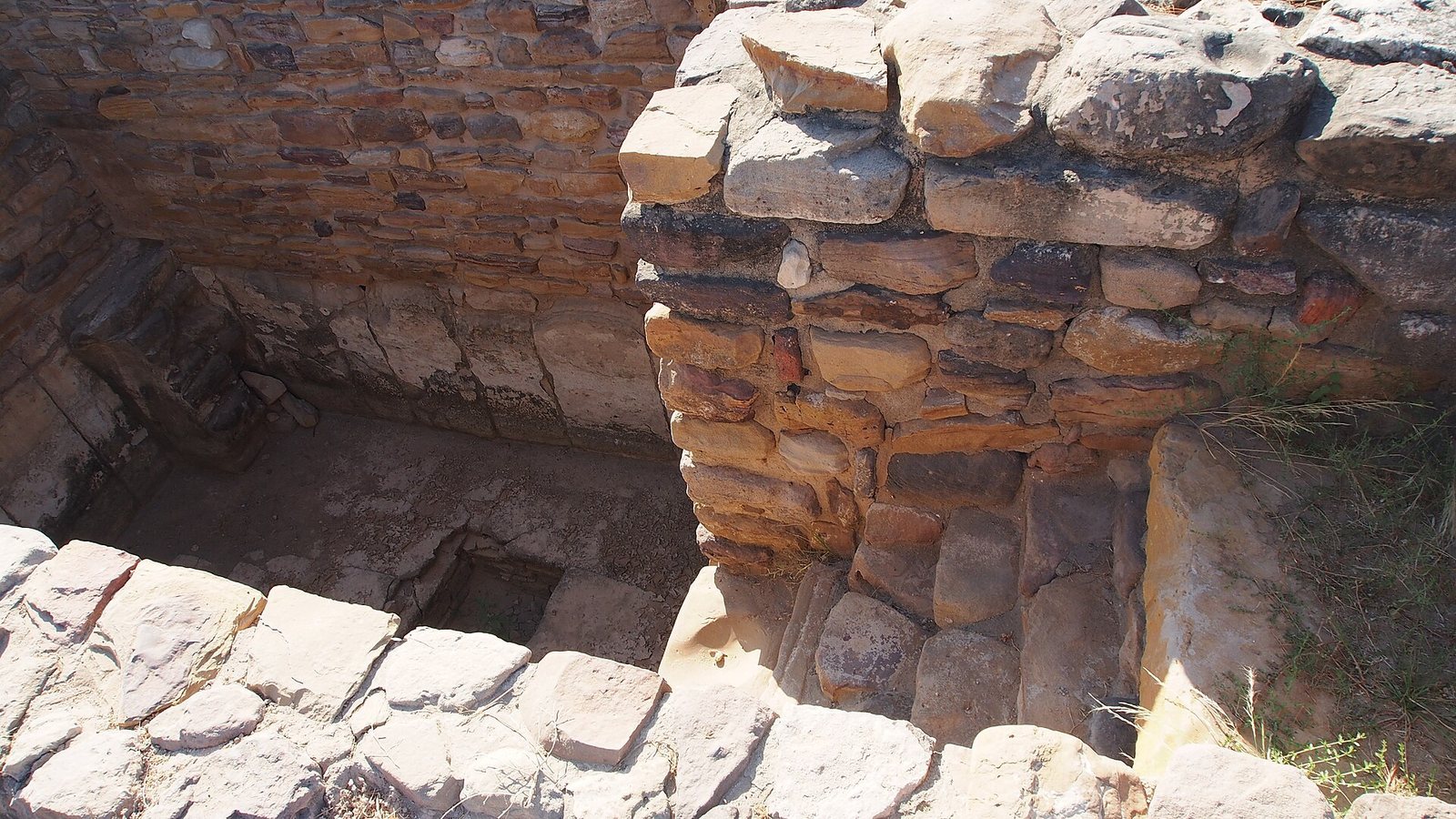
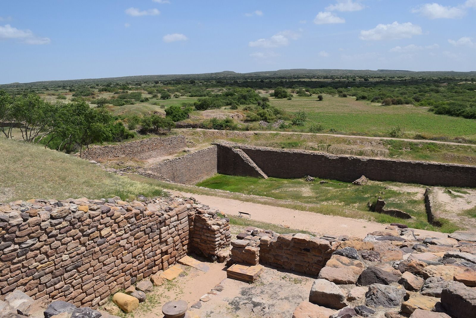
Dholavira’s water system included stone channels and reservoirs. At least 16 reservoirs of different sizes were built during Stage III. Some used a ground slope of about 13 m from northeast to northwest, while others were cut into bedrock. Three large reservoirs have been exposed; another was discovered in 1998, and two large reservoirs were identified east and south of the citadel, the southern one near the Annexe. Some reservoirs, cut vertically into stone, measured about 7 m deep and 79 m long and ran around the city. The citadel and bathing area stood on raised ground. A large well had a stone-cut trough leading to a drain and storage tank, while steps descended into the bathing tank.
Excavation of a rectangular stepwell, a water structure reached by descending steps, began in October 2014. It measures 73.4 m long, 29.3 m wide, and 10 m deep, and is three times the size of the Great Bath at Mohenjo-daro.
Water capture and drainage
Low barriers across the Mansar and Manhar streams captured monsoon water. Parallel walls and large cut-stone blocks reinforced the streambeds; plastered boundary walls and raised inlet channels directed water through covered stone channels toward reservoirs. The city’s fortifications also served as embankments, and overflow flowed toward a lake to the southwest.
In the citadel, stormwater passed through underground channels ranging from small feeders to passages large enough for a person to walk through. Water from gateways and fortifications entered vertical conduits and underground chambers, then travelled west beneath broad streets and through the western wall to an earthen reservoir in the enclosed area beside the citadel. The drains had sloping floors, smooth surfaces, sidewalls, stone covers, air ducts, and access points. Domestic wastewater was handled separately through street-side ceramic jars, stone sanitation tanks, and soakage pits in the middle and lower towns.
Funerary structures and sculptures
Burial and memorial structures
A large circular structure, possibly a grave or memorial, had ten radial mud-brick walls arranged like the spokes of a wheel. Dholavira also had numerous other funerary structures. Seven raised, dome-shaped structures built of mud brick stood over large chambers cut into rock, and two were excavated in detail. One had a wheel-spoke plan and the other a wheel plan without spokes. Burial pottery was found within them; one grave contained a skeleton and a copper mirror. One structure also yielded a necklace of soapstone beads strung on copper wire with hooks at both ends, a gold bangle, and gold and other beads. The Archaeological Survey of India compared the structures with early Buddhist stupas, domed Buddhist monuments, and likened their wheel designs to altar forms described in the Satapatha Brahmana, a Vedic religious text, and the Shulba Sutras, ancient works on ritual altar construction.
Stone figures
A soft sandstone sculpture found in the passageway of the eastern gateway depicts a male figure with an erect phallus. Its legs end below the ankles. A separate, poorly preserved stone figure shows a seated man and has been compared with two finely made stone sculptures from Harappa.
Objects and inscriptions
Excavated objects
Finds from the settlement include animal bones, gold and silver objects, fired-clay ornaments and seals, and pottery such as painted black-on-red ware and large black-slipped jars with pointed bases. Excavators also recovered bronze vessels, square stamp seals, a circular seal, and Stage III seals bearing animal figures. Other objects include a bronze hammer and large chisel, a bronze hand mirror, gold wire, a gold ear stud, perforated gold globules, copper axes and adze-like tools, copper and shell bangles, and stone symbols shaped like phalluses. Further finds include depictions of humped animals, goblets, a dish on a stand, perforated jars, fired-clay tumblers, stone weights, grinding stones, and mortars. Funerary contexts yielded pottery, fired-clay seals, bangles, rings, beads, and designs cut into the surfaces of objects.
Inscriptions and signboard
A signboard found in a side room of the northern gateway carried ten large signs of the undeciphered Indus script. Pieces of gypsum formed the signs, which had been arranged on a wooden board about 3 m long; each sign was about 37 cm high, and one appeared four times. The board fell face-down, but the arrangement of the signs survived. A separate sandstone inscription with four large signs is considered the first of its kind found at a Harappan site.
The Harappan language remains unidentified, and the Indus script is undeciphered. It has about 400 basic signs and generally reads from right to left. At Dholavira, inscriptions appeared on seals and clay seal impressions, as well as on copper tablets, bronze tools, and small objects made of fired clay, stone, and faience, a glazed silica-based material.