Gandinga Hillfort: A Tribal and Medieval Defensive Center in Lithuania
Site at a Glance
- Rating
- 4.8
- Popularity
- Low
- Country
- Lithuania
- Primary era
- Medieval
- External website
- Open
- Eras represented
- Medieval
- Civilizations
- Unclassified
- Site type
- Military
- Remains
- Fortified Town
On this page13 sections
History
Gandinga Hillfort is a fortified elevated site in Lithuania, associated with the Curonians and the early development of the Samogitians. Its importance grew between the ninth and thirteenth centuries, when the hillfort formed part of a settlement network that existed before Lithuanian statehood and combined tribal administration with defense. The site occupied a naturally protected position among the deeply cut bends of the Babrungas valley.
Early settlement and Gondinga Castle
Gandinga’s origins belong to a period when communities used timber-and-earth fortifications, ramparts, ditches, and natural obstacles to protect important settlements. The first castle was established at an uncertain date. Its defenses were later than those of some smaller, lightly fortified hillforts in the surrounding area, but Gandinga was probably among the earlier large tribal strongholds. Trade, warfare, local natural resources, and land suitable for slash-and-burn agriculture supported the growth of the settlement.
The site is identified with Gondinga Castle, named in a document dated 5 April 1253. That document concerned the division of the southern Curonian lands between the Livonian Order and Heinrich, bishop of Courland. The castle was wooden, and its position made approach difficult except from the west. Finds from the first millennium and the beginning of the second millennium, increasing gradually from the ninth through the thirteenth century, indicate the growing importance of the complex and its rising population.
District center and later traditions
From the thirteenth to the eighteenth century, Gandinga served as a district center, meaning a settlement that administered a territorial district. It appears on the list of non-privileged Lithuanian towns for 1529–1567. The settlement declined during the medieval period and thereafter appeared only rarely in written records.
Written accounts place a pagan temple in the Gandinga area, a pre-Christian sanctuary where a sacred fire was maintained for worship. Fourteen legends connected with the hillfort have been recorded. One tells of Swedish conquerors hiding treasures in underground chambers guarded by devils. The site’s mythology was studied by the archaeologist and historian Liudvikas Kšivickis, the folklorist Norbertas Vėlius, and the bishop, writer, and historian Motiejus Valančius.
Archaeology and protection
In the early twentieth century, Liudvikas Kšivickis investigated the edge of the hillfort platform as it collapsed toward the river. The Institute of Lithuanian History conducted archaeological reconnaissance in 1949 and 1964. The hillfort, its settlement, and its cemetery were later protected together as a cultural monument. Before 19 April 2005, the complex carried the registry code A791KP and appeared as number AR782 in the Lithuanian Register of Cultural Monuments.
Remains
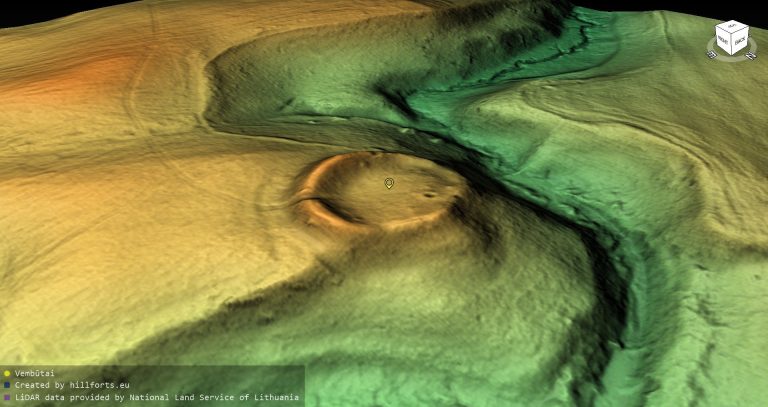
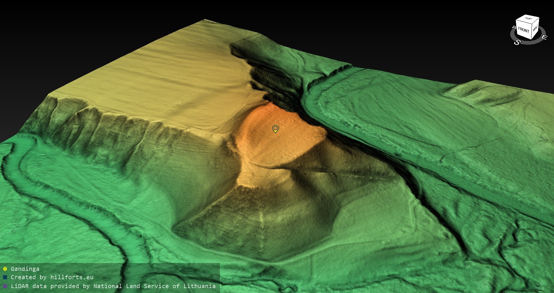
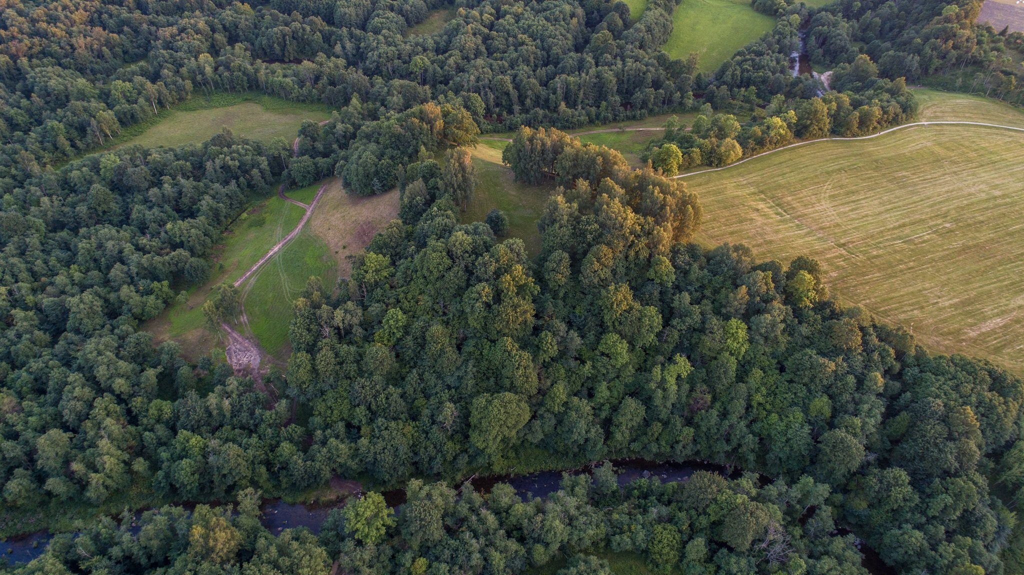
Gandinga Hillfort stands on the right bank of the Babrungas River, with the river and ravines enclosing the elevated site. Its steep slopes are described as 16–18 meters high, while another description gives a height of up to 32 meters. The main platform is an elongated oval running from south to north and measuring 78 by 33 meters. Its southern side is two meters lower and contains a pronounced cultural layer, the accumulated deposit of soil, debris, artifacts, and traces of human activity formed through occupation.
Hillfort defenses
Southern and western earthworks
A curved rampart follows the southwestern edge of the platform for about 70 meters. It is approximately eight meters wide and one meter high. A ditch lies behind it, followed by a second, lower rampart whose southern side has collapsed. Along the western and northwestern edge, another rampart extends for about 70 meters. This earthwork is four meters high and 60 meters wide, with an outer slope reaching ten meters in height.
Western bailey
A bailey, or subsidiary fortified enclosure below the main stronghold, occupies the western foot of the hillfort. Its trapezoidal platform runs from northwest to southeast and measures 38 meters in length, including a destroyed rampart. It is 110 meters across at the southeastern end and 130 meters across at the northwestern end. Along its western edge, a rampart 0.8 meters high and 11 meters wide is followed by a ditch ten meters wide and two meters deep. The defensive works are better preserved along the northeastern edge.
Settlement and burial landscape
Foot settlement
A four-hectare foot settlement extends northwest of the bailey. Its cultural layer reaches up to 0.6 meters in thickness, preserving accumulated evidence of occupation beyond the principal fortified platform.
Burial ground
A burial ground dating from the fifth to the thirteenth century lies 400 meters northwest of the hillfort, north of the foot settlement. It contained uncremated burials from the eleventh and twelfth centuries, together with grave goods and isolated artifacts dating from the fifth to the eighth century. These objects include horseshoe brooches, cross-shaped pins, spearheads, and clay weights. Some artifacts bear traces of burning. The finds are held by the Vytautas the Great War Museum, the Šiauliai Aušra Museum, and the Samogitian Museum Alka.
Nearby sacred landscape
A separate cemetery lies approximately 0.84 kilometers northwest of the hillfort. Apieros Hill, identified as a sacred hill, lies 2.4 kilometers away and forms part of the wider ritual and funerary landscape associated with Gandinga.
Condition of the earthworks
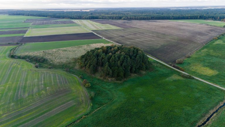
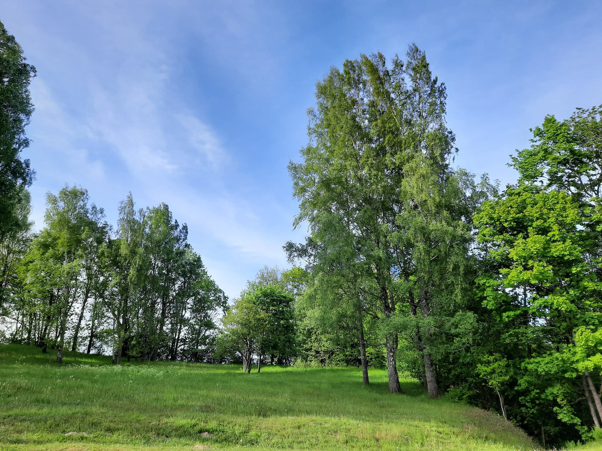
Ploughing has heavily damaged the hillfort. The ramparts have been reduced, and the ditches have been filled in. The eastern and southwestern edges of the platform collapsed together with the ramparts formerly located there. Grass covers the platform and parts of the slopes, while deciduous trees have overgrown other areas.