Dolmen D10: A Neolithic Megalithic Tomb in the Netherlands
Site at a Glance
- Popularity
- Low
- Country
- Netherlands
- Primary era
- Stone Age
- Eras represented
- Stone Age, Modern
- Civilizations
- Unclassified
- Site type
- Burial
- Remains
- Tomb
On this page7 sections
History
Dolmen D10 is a Neolithic megalithic tomb north of Gasteren in the Netherlands, attributed to the Western Group of the Funnel Beaker culture and dated to 3470–2760 BC. The Funnel Beaker culture takes its name from pottery with funnel-shaped necks, and its Western Group is a regional grouping.
Neolithic origins and Renaissance traditions
During the Renaissance, the tomb was linked to a vulgar name translated as “Devil’s Cunt.” Abraham Ortelius used a form of that name on a map. Its earliest known written appearance is in a letter dated 20 December 1547, sent by Antonius Schoonhovius Batavus, a Bruges canon (a cleric belonging to a cathedral or collegiate church chapter), to his colleague Cornelius Gualterus.
A tale connected with the tomb claimed that living people were sacrificed after crawling through a narrow passage beneath altar stones and being pelted with manure. The practice was compared to a charivari, a form of communal mockery and public shaming. Groningen chronicler Sicke Benninge used another name translated as “Devil’s Stocking,” with “stocking” alluding to female genitalia. Archaeologist Wijnand van der Sanden argued that D10 fits these historical descriptions better than D17 or D18.
Early investigation and restoration
M. Bolhuis mentioned the tomb in 1694. Leonhardt Johannes Friedrich Janssen examined it in 1847 and published an overview of Dutch megalithic tombs the next year. In 1854, the owners opened D10 while seeking archaeological objects to display at the ninth Agricultural Congress in Assen.
Restoration between 1869 and 1878 involved moving several stones. In 1874, Willem Pleyte and photographer Jan Goedeljee carried out the first systematic photographic survey of Drenthe’s megalithic tombs; Pleyte later made lithographs, prints produced from drawings on a flat surface. Conrad Leemans undertook another survey in 1877, with plans prepared by Jan Ernst Henric Hooft van Iddekinge, but Leemans’s report was not published.
Surveys and modern protection
Concern that restoration could alter the tombs’ original appearance prompted British antiquarians William Collings Lukis and Henry Dryden to survey 40 tombs in Drenthe in 1878. They prepared detailed plans and sections of D10. Wijnand van der Sanden published their work on the tomb in 2015, alongside an introduction and an account of later research into Dutch megalithic tombs.
Willem Johannes de Wilde recorded Dutch megalithic tombs from 1904 to 1906 with plans, photographs, and detailed descriptions. Most of his records were lost, but his D10 documentation survived. Albert Egges van Giffen included the tomb in his 1918 atlas and described it as severely disturbed in 1925. Restoration in 1952 revealed extensive digging in and beside the monument. D10 became a protected national monument in the Netherlands in 1978, and further restoration followed in 1996.
In 2017, photogrammetry, which uses photographs to make measurements and models, was used to record the tomb for a 3D atlas. The project involved the Province of Drenthe, the University of Groningen, and the Gratama Foundation.
Remains
Chamber and stone arrangement
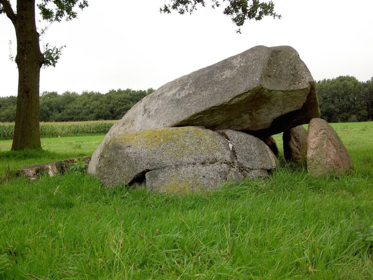
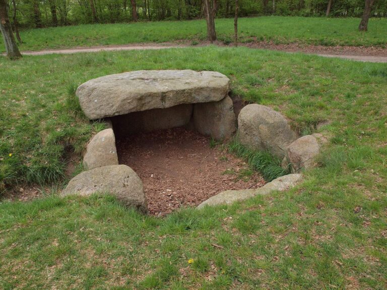
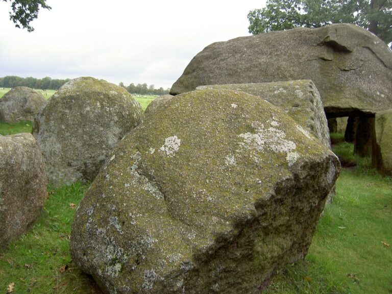
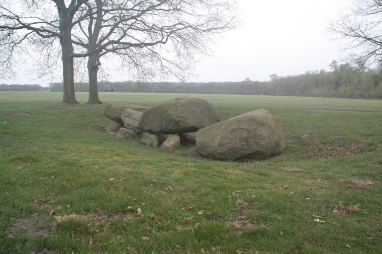
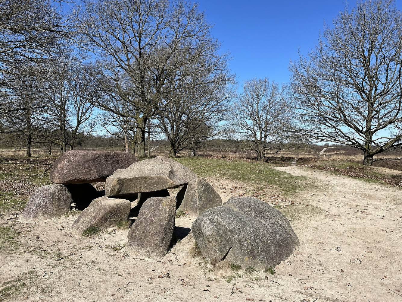
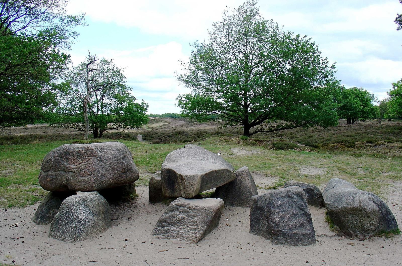
The small, incomplete stone chamber is aligned east-southeast to west-northwest and measures about 6.7 metres long by 3.1 metres wide. Its recorded remains include seven supporting stones and two stones at the ends. Two capstones survive from an original four. The proposed original arrangement includes four pairs of stones along the long sides, an end stone at each short end, and four additional wall stones.
The tomb’s precise form is uncertain. It may have been a passage grave, a burial chamber reached through a passage, but damage along the southern long side prevents determining whether it had one. Descriptions of its condition trace changes over time. In 1694, three capstones were said to rest on seven or eight stones. When Janssen examined D10 in 1847, it lay in a hollow, with three capstones barely visible above the heath. In 1878, six supporting stones and both end stones were recorded; the westernmost capstone lay half-buried in sand. Van Giffen’s 1918 record counted four supporting stones on the north side, three on the south, both end stones, and two fallen capstones.
Landscape and finds
D10 stands on heathland at the edge of the Gasterse Duinen. Wagon ruts remain visible to its north, and the tomb lies on a trade route between Groningen and Coevorden. A Roman solidus, a gold coin, of Emperor Valentinian I, who ruled from AD 364 to 375, was found nearby.