Huaca Tungasuca: An Ancient Road and Defensive Wall in Peru
Site at a Glance
- Rating
- 3.9
- Popularity
- Very Low
- Country
- Peru
- Primary era
- Medieval
- External website
- Open
- Eras represented
- Medieval
- Civilizations
- Unclassified
- Site type
- Military
- Remains
- Wall
On this page9 sections
History
Late Intermediate Period
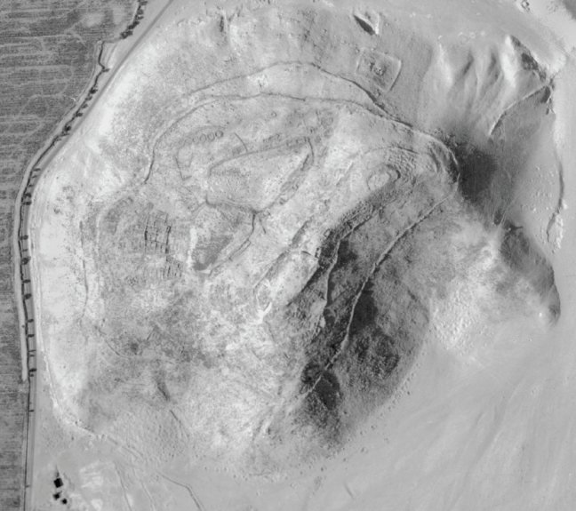
Huaca Tungasuca, also known as the Muralla de Tungasuca, is an ancient route and defensive wall in the Comas and Carabayllo districts of Peru. It was built during the Late Intermediate Period, probably around AD 1100, using earth and stone. The structure is commonly attributed to the Colli, a pre-Inca society associated with the Chillón Valley, although the role of the Ychsma remains debated.
Ceramics and architectural analysis indicate two tentative phases. The first belongs to the closing part of the Late Intermediate Period, when the wall served both as a protected route and as a defensive work. It helped protect the Colli and other communities from attacks by the Canta and Atavillo peoples, who contested control of the Quivi area, known for producing high-quality coca. Its raised upper route may also have allowed movement through the Carabayllo Valley without crossing swampy ground.
The wall formed part of a wider route and defensive network extending from the slope of Cerro Zorro toward the Chillón River. The system passed around or alongside Zancudo, Allpacoto, Chacra, Huacan-Llanco, Dacha Tambo, Huacas Templo, and the Collique fortress. Historian Santiago Tácunan argued that the wall once continued as far as the sea. Its interpretation as an epimural road, meaning a route built along the crest of a wall, follows the proposal of Santiago Agurto Calvo, who understood such structures as connections between settlements upstream, downstream, and along the coast.
Late Horizon and Inca Rule
During the Late Horizon, the period of Inca imperial expansion, the area came under Inca rule. The second phase of Huaca Tungasuca shows a stronger Ychsma–Inca presence, while ceramics from the earlier phase have apparent similarities to the Colli–Ychsma style. Conflict connected with the Inca takeover contributed to the destruction of the site. The differing material evidence has kept the identities of the builders and later users open to discussion.
Urbanization, research, and conservation
Modern urbanization cut the archaeological site in half and divided the surviving monument into two sectors. Huaca Tungasuca was declared Cultural Heritage of the Nation on September 3, 2001, under Resolution RDN No. 890/INC-2001. The remains lie within the jurisdictions of Comas and Carabayllo and represent a surviving fragment of the larger wall system.
The Tungasuca Archaeological Research Project began in 2017 under the nonprofit Yachay Historical Research and Social Development Association. Its work combined heritage preservation with investigation of the site’s archaeological and historical value. Workshops, surveys, interviews, and excavations were undertaken, with excavation continuing through November 2017. Four of eight test pits proposed to the Ministry of Culture were opened, two north and two south of the wall. Excavators worked manually through depositional layers and recorded finds and three-dimensional features according to occupational or depositional phase.
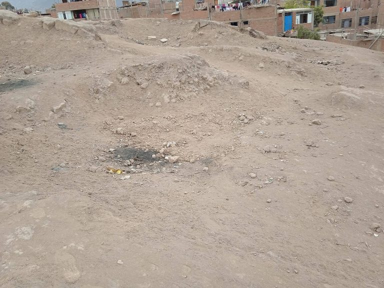
Neglect, vegetation, climatic effects, construction debris, inadequate state and municipal protection, and ineffective conservation planning have continued to damage the site. It has also been used for illicit activities. Since 2019, the Guardians of the Wall group has organized cleanups, educational activities, information campaigns, and other local initiatives. Neighbors and local authorities have also carried out occasional night patrols.
Remains
Layout and surviving sectors
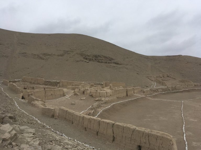
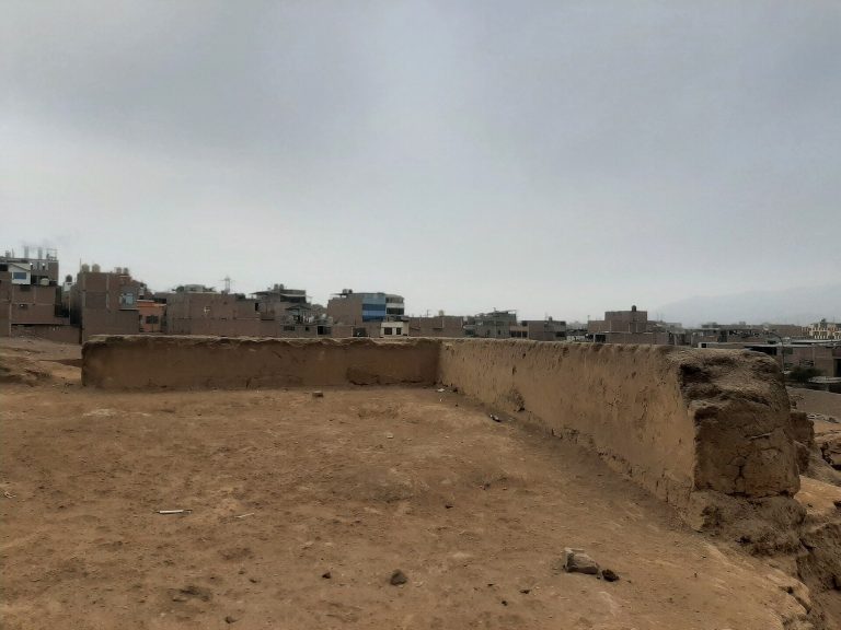
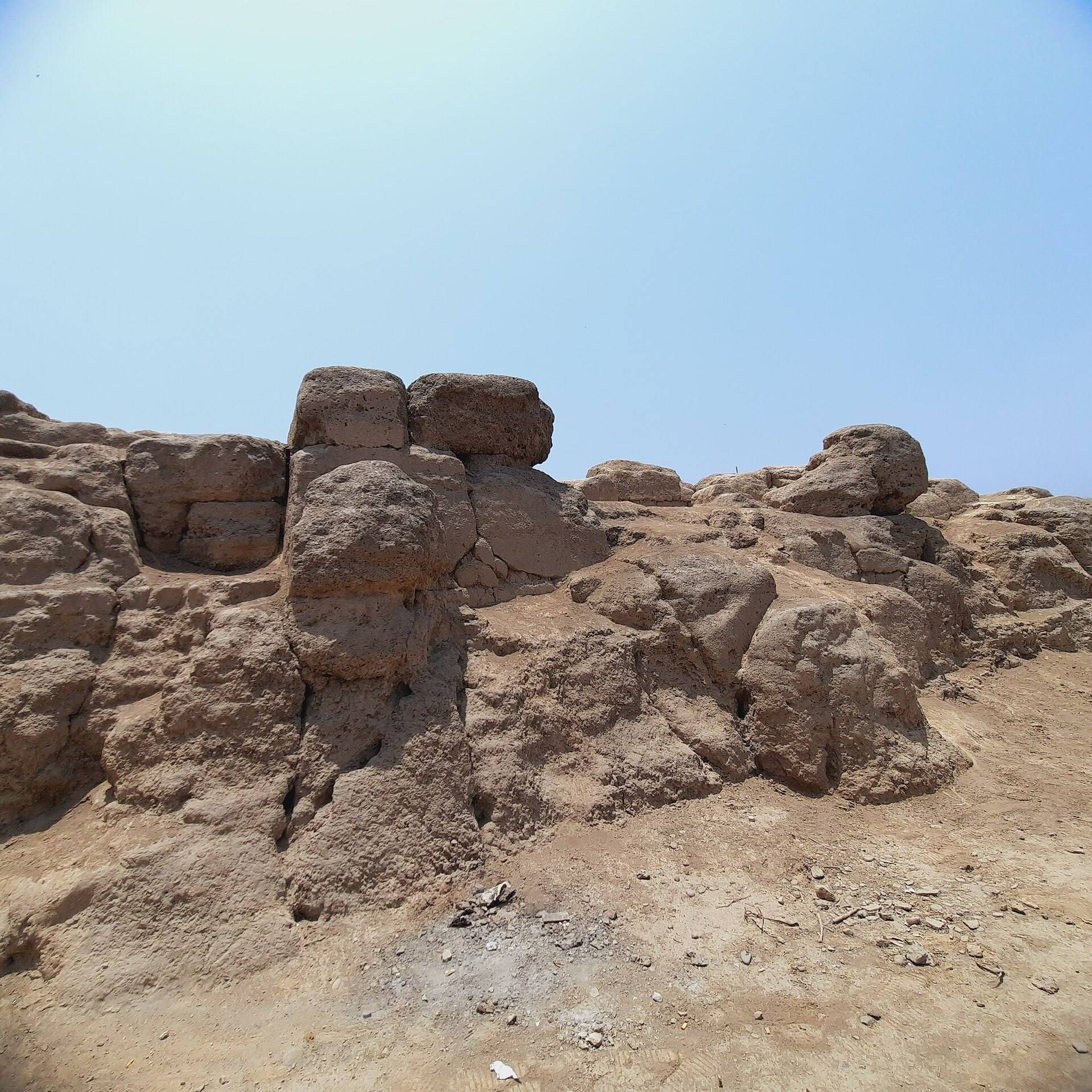
The surviving monument is an epimural road and defensive wall built with tapial, a technique using compacted earth, together with stone and adobe. The preserved route extends for approximately 410 meters at about 180 meters above sea level. The archaeological area covers approximately 7,184 square meters of publicly designated recreational land within the Tungasuca urbanization, a built-up setting containing medium-density housing, public schools, and a municipal recreational park.
Sector A
Sector A occupies the northeastern side of the surviving monument. It extends from the sidewalk that cuts across the route toward the houses. Open spaces lie on both sides, and this sector shows the greatest degree of destruction caused by urban development and continuing deterioration.
Sector B
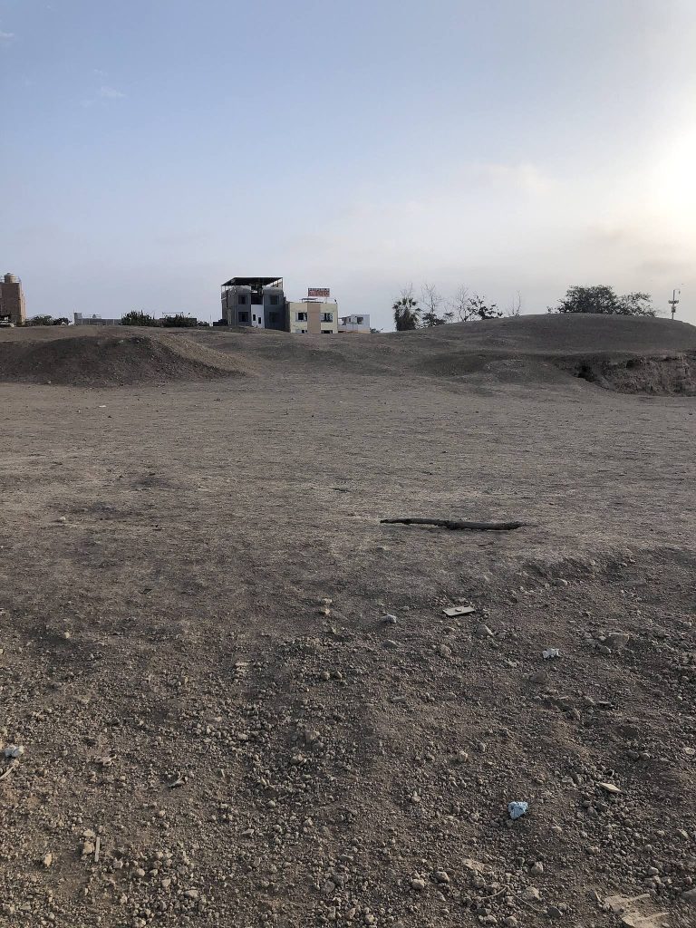
Sector B lies on the southwestern side, extending from the urban cut toward Condorcanqui Avenue. It is better preserved and includes a curved portion of the wall’s alignment. Together, the two sectors preserve sections of the route after modern construction divided the original archaeological area.
Wall construction and route
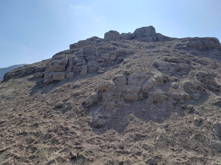
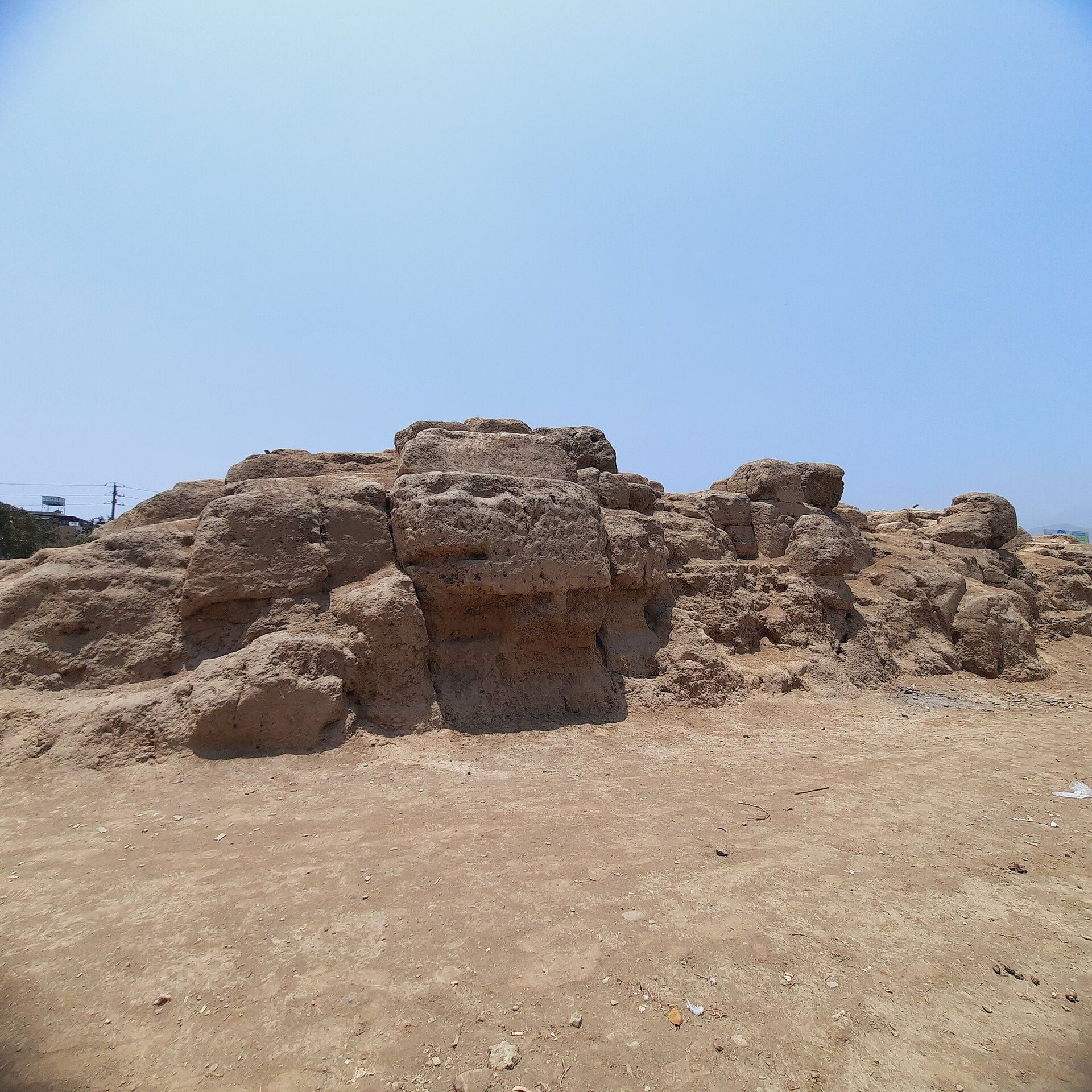
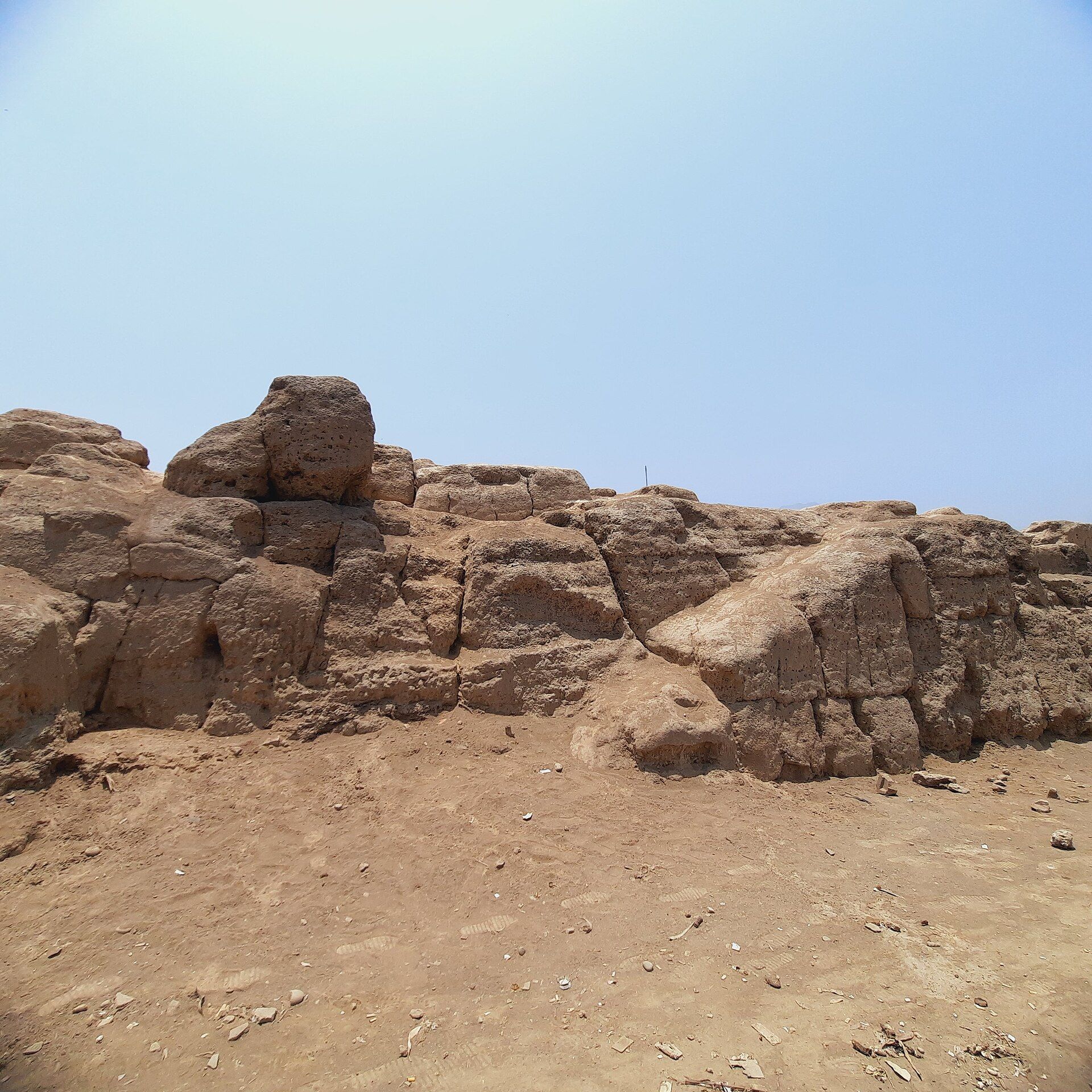
The wall survives mainly as worn adobe and earthen remains. Its walls were formed by superimposing large trapezoidal adobe blocks, producing a structure generally about 1 meter thick and between 2 and 4 meters high. The surviving path is between 0.5 and 1 meter wide. Stairs provided access to the top, whose broad surface could function as a raised passage through the valley.
The alignment begins on the slope of Cerro Zorro and continues toward the Chillón River, passing around or alongside the named archaeological areas and settlements associated with the wider system. The possible extension to the sea is attributed to Santiago Tácunan. Beans embedded in the earthen wall surfaces have also been noted. Their meaning has not been scientifically established, although a magical or religious association has been proposed.