Honederamura Shōen: A Medieval Estate Supporting Chūson-ji
Site at a Glance
- Popularity
- Medium
- Country
- Japan
- Primary era
- Medieval
- Eras represented
- Medieval
- Civilizations
- Kamakura shogunate
- Site type
- Settlement
- Remains
- Village
On this page6 sections
History
Medieval estate and administration
Honederamura Shōen is a medieval landed estate in Ichinoseki, Japan, dating to the late Heian period, which ended in the late twelfth century. The monk Jizaibō Renkō donated the estate to support the upkeep of the sutra repository at Chūson-ji, and it was assigned to the official responsible for administering the repository and its property.
After Minamoto no Yoritomo, founder of the Kamakura shogunate, defeated the Northern Fujiwara ruling house of Hiraizumi, the estate’s boundaries were redrawn. An official from Chūson-ji continued to administer it. A tradition connects the village’s name with the skull of Ryōgen, a Buddhist monk said to have taught villagers Buddhist scriptures. The estate is an important source for understanding medieval villages in the Ōu region and the lands that supported Chūson-ji.
Edo rule and heritage recognition
During the Edo period, which extended from the early seventeenth to the late nineteenth century, the estate came under the control of the Date clan of Sendai Domain.
Honederamura Shōen joined Japan’s tentative World Heritage list in 2001 as part of a proposed Hiraizumi cultural landscape. A portion of the site became a National Historic Site in 2005, and the traditional village landscape, known as the Rural Landscape of Hondera in Ichinoseki, was selected as an Important Cultural Landscape in 2006, a Japanese designation for a landscape recognized for its cultural value. After the proposed inscription was deferred in 2008, the estate was omitted from the revised nomination submitted in 2010. Hiraizumi was inscribed in 2011 without it, and Honederamura Shōen was added to the tentative list again in 2012 alongside other archaeological sites. Ichinoseki City manages the site and leads preservation and use efforts.
Remains
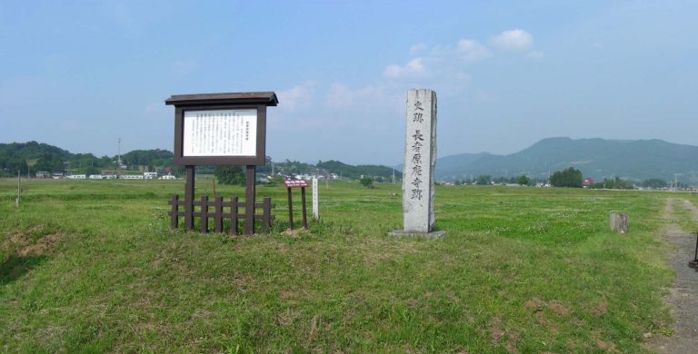
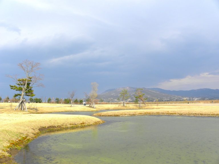
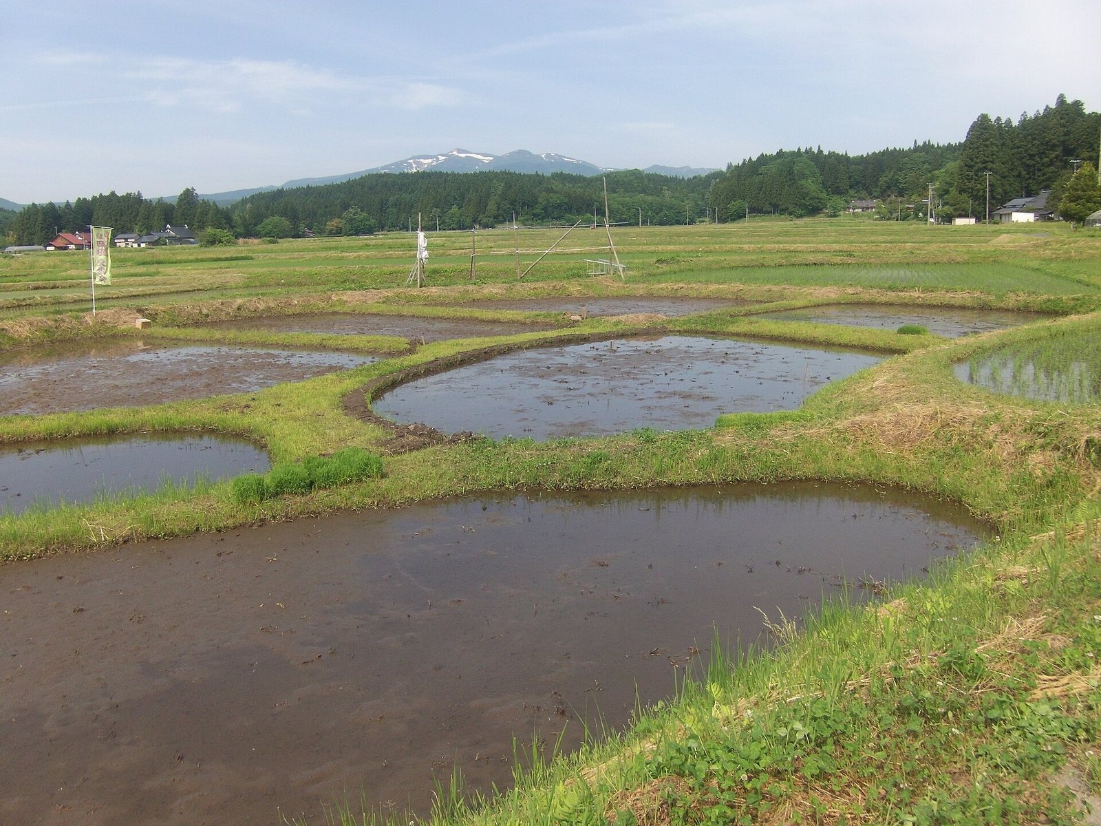
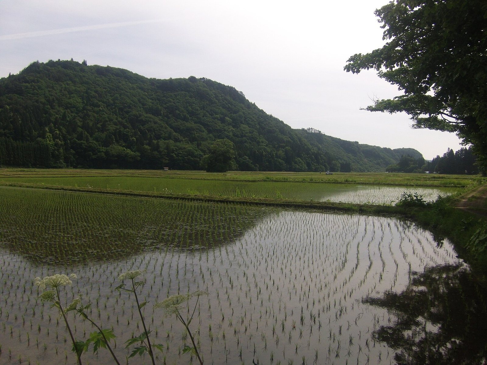
The estate occupies a terraced plain in a small basin about 15 kilometres west of Hiraizumi. It lies on the left bank of the Iwai River, east of Mount Kurikoma, with low mountains around 300 metres high surrounding the basin. Natural springs feed the area, and the Honedera River flows east across the plain to join the Iwai. The site’s listed elevation is 110 metres. Its terrain, natural setting, and views remain well preserved.
Village landscape and maps
The settlement pattern shown in maps from the Kamakura period, spanning the late twelfth to fourteenth centuries, remains substantially recognizable. Two illustrated maps of the estate are preserved at Chūson-ji. One depicts village homesteads, while the other presents a plan of the village. The protected archaeological site covers 48.8 hectares. A wider landscape-planning area extends across 761 hectares, about 7 kilometres from east to west and 2 kilometres from north to south; its central 366 hectares form the Important Cultural Landscape.
Archaeological features
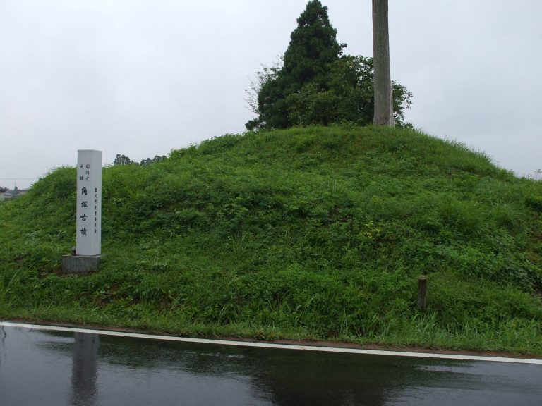
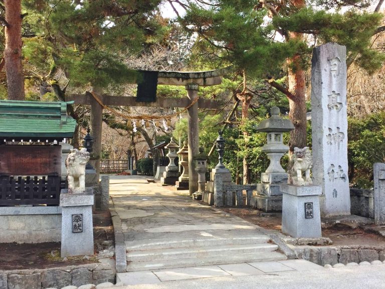
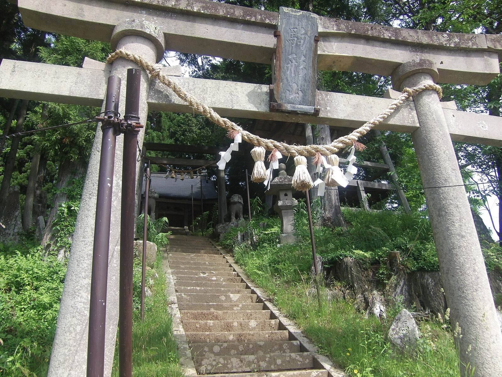
Features within the protected site include two caves and three shrines, as well as a mound and a hall. The area also contains a place identified as the site of a hall, two archaeological sites, and the remains of a fortified residence.