Hirakawa Temple Ruins: A Nara-Period Buddhist Temple in Japan
Site at a Glance
- Popularity
- Low
- Country
- Japan
- Primary era
- Medieval
- Eras represented
- Medieval
- Civilizations
- Unclassified
- Site type
- Religious
- Remains
- Temple
On this page8 sections
History
The Hirakawa Temple Ruins are the remains of a large Buddhist temple built in southern Yamashiro, Japan, during the middle of the Nara period (710–794). Its scale was comparable to that of Yamashiro Kokubun-ji, a provincial Buddhist temple.
Foundation and possible political ties
The name now used for the site comes from the locality of Hirakawa, while the temple’s original name and institutional history remain unidentified. One interpretation identifies it as the clan temple of the Kifumi, an immigrant lineage based in southern Yamashiro from the late Kofun period, an era associated with large burial mounds. The clan claimed descent from King Yeongyang of Goguryeo, an ancient Korean kingdom, and some of its members served as provincial governors.
Many roof tiles from Hirakawa are identical to tiles found at Kuni Palace, an imperial palace begun in 741 and the power base of the court noble Tachibana no Moroe. This resemblance has supported the proposal that Hirakawa was built with some state assistance around the time the palace was established. It has also informed an interpretation linking the Kifumi with Moroe’s government.
Repair, destruction, and abandonment
The temple was repaired between the late Nara and early Heian periods, which began in 794. A fire soon afterward destroyed its pagoda and Main Hall. The buildings were not reconstructed, and the temple appears to have ceased functioning in the early Heian period.
The Kifumi also disappear from the historical record around the time of the fire. This timing has been linked to the Tachibana no Naramaro Incident, a political revolt associated with Tachibana no Naramaro.
Roof tiles discovered around 1943 drew attention to the site as a temple ruin. Excavation in 1966 identified a tiled building platform, and investigations from 1972 to 1974 clarified the temple plan and precinct. Japan designated the site a National Historic Site in 1975 and expanded its protected area in 2008.
Remains
Temple plan and principal buildings
The temple followed an arrangement comparable to that of Horyuji, with the pagoda west of the Main Hall. These principal buildings stood in the western part of the precinct, while subsidiary buildings are thought to have occupied its eastern side. A cloister, an enclosed passage around the main buildings, measured an estimated 81 metres east to west and 72 metres north to south. The whole precinct is estimated at about 175 metres east to west and 115 metres north to south.
Pagoda platform
The pagoda stood on a platform measuring 17.2 metres on each side. Its base was made from river stones about 20 centimetres across, set upright and topped with flat roof tiles laid horizontally.
Main Hall platform
The Main Hall platform used the same method of construction and measured 22.5 by 17.2 metres. Between the late Nara and early Heian periods, its southern edge was extended 2.2 metres southward. Two settings for foundation stones were identified on the platform.
Setting, boundary, and present condition
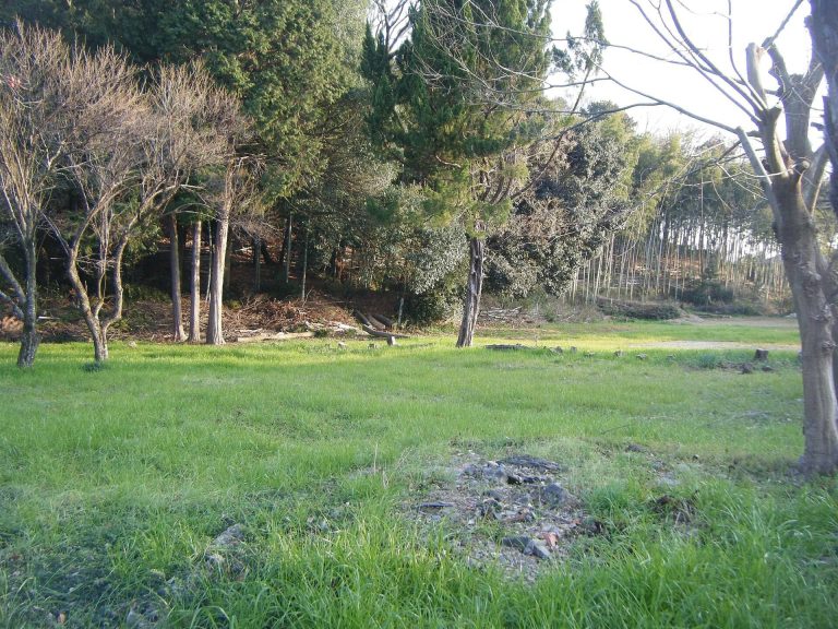
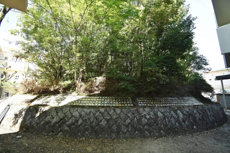
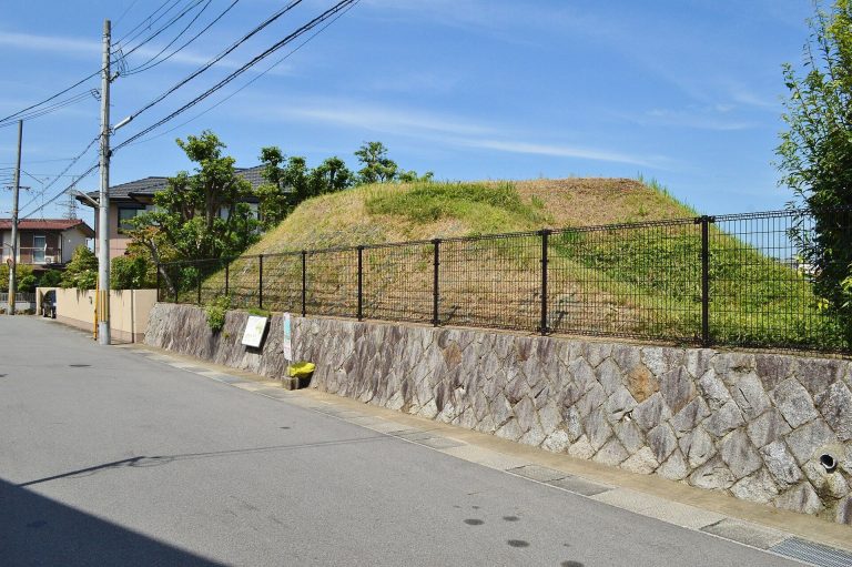
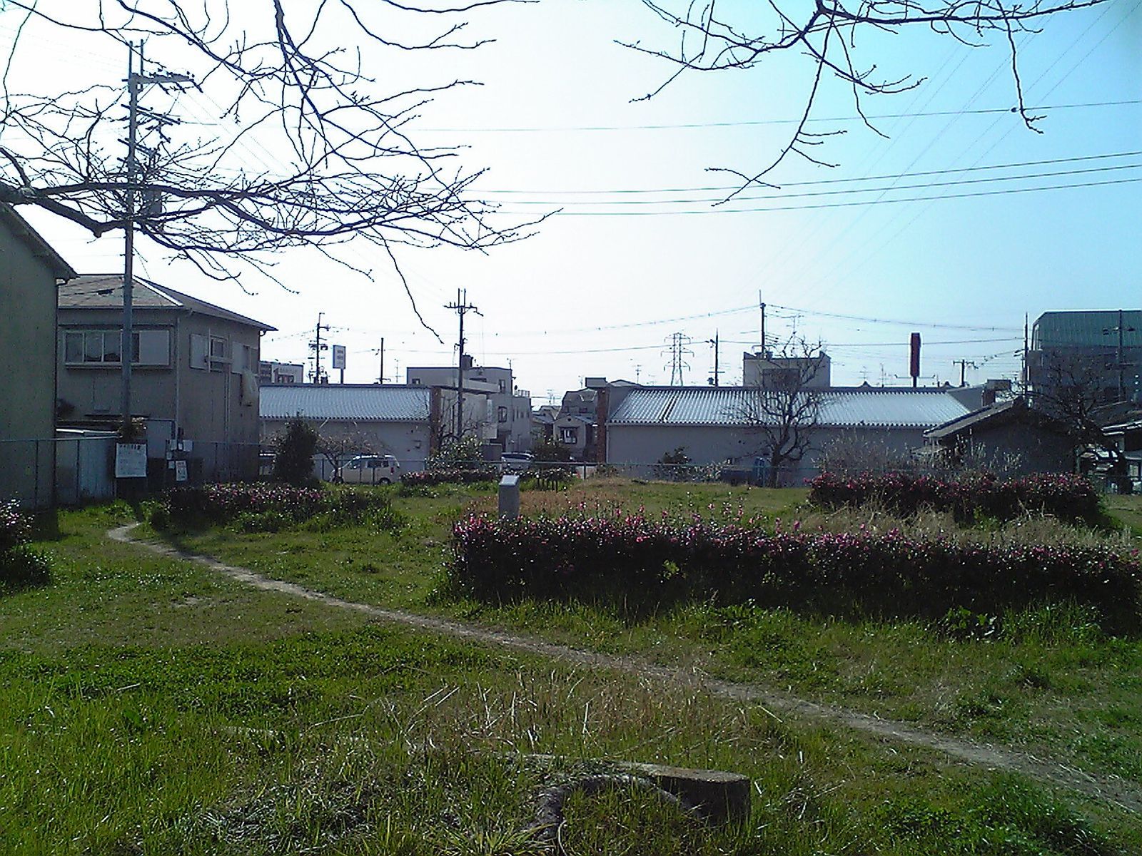
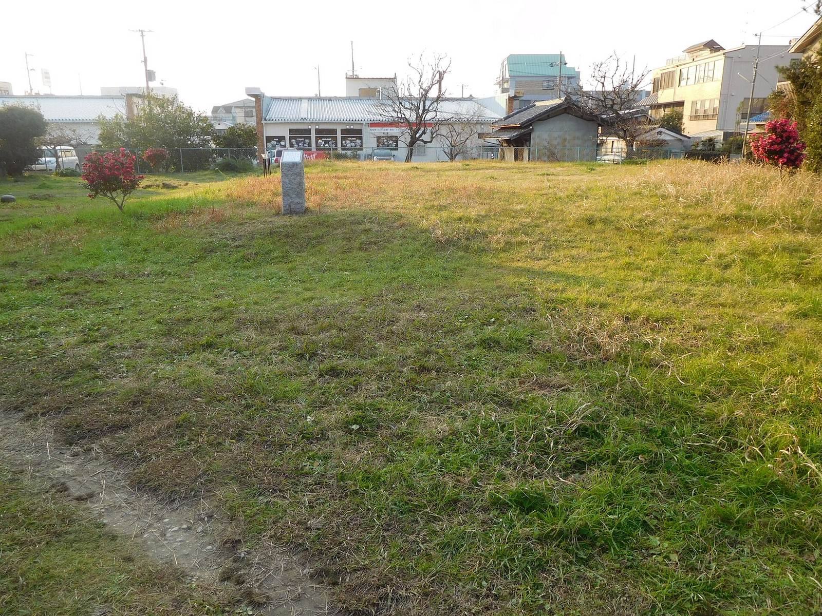
The site occupies a low plateau on the east bank of the Kizu River, at the edge of the Uji Hills and beside the old Yamato Kaido. It lies near the Kutsukawa Kofun Cluster and next to Akatsuka Kofun. The temple’s western boundary wall curves around the tomb, which stands outside the wall. Akatsuka was originally a circular mound about 22.5 metres in diameter, with a projecting platform on its south side. Its haniwa, unglazed clay objects placed around burial mounds, indicate that it was built in the latter half of the fifth century. Today, a historical park occupies the central part of the former precinct, with private houses across the remainder. The pagoda and Main Hall platforms survive as raised earthen mounds, with their foundation-stone settings preserved in place.