Gynaikokastro: A Byzantine Frontier Fortress in Greece
Site at a Glance
- Popularity
- Very Low
- Country
- Greece
- Primary era
- Medieval
- Eras represented
- Medieval
- Civilizations
- Byzantine
- Site type
- Military
- Remains
- Fort
On this page9 sections
History
Construction and the Byzantine civil war
Gynaikokastro is a Byzantine fortress in Greece, built by Emperor Andronikos III Palaiologos probably in 1334. Following a change in the Byzantine-Serbian frontier, it was intended to protect the approaches to Thessaloniki from the rising Serbian state and offer refuge in the open Thessalonian plain. A tradition explains the name, meaning “women’s castle,” by saying its defenses were strong enough for women to hold.
During the Byzantine Civil War of 1341–1347, a conflict within the Byzantine state, the Zealots, a political movement opposed to Thessaloniki’s aristocracy, revolted in the city in 1342. Its governor, Theodore Synadenos, a close associate of the Byzantine co-emperor and historian John Kantakouzenos, fled to Gynaikokastro with noble families, about 1,000 people altogether. That year, Kantakouzenos arrived with his sons Manuel and Matthew and Catalan mercenaries led by Juan Peralta. He agreed to cooperate with Serbian ruler Stefan Dušan, but even with Serbian support he failed to retake Thessaloniki and left the fortress.
Serbian and Byzantine control
Gynaikokastro was under Serbian control before 1350, when a governor named Velko held authority there. After Dušan’s death and the breakup of the Serbian Empire, it became the principal fortress of Prince Bogdan’s principality from 1355 to 1371. Following the Battle of Maritsa in 1371, Manuel Palaiologos, the Byzantine ruler of Thessaloniki, took the fortress for the Byzantine Empire.
Ottoman rule and abandonment
The Ottoman commander Evrenos Bey captured Gynaikokastro in autumn 1383 after strong resistance. A tradition related by the Ottoman historian and traveler Katip Çelebi says that a woman called Maroulia led the defense. She may have been confused with Marula, who led the defense of Lemnos.
In the fifteenth century, the fortress belonged to a local sipahi, an Ottoman cavalryman who held land revenues in return for military service. The settlement around it was known as Avret Hisar, meaning “women’s fortress.” From the fifteenth to the seventeenth century, the fortress served first as the seat of an Ottoman province, or vilayet, and later as the center of the Avret Hisar, or Kukush, administrative district, a kaza. It was abandoned in the seventeenth century, after which the village below became a source of building material taken from the fortress.
Modern changes and archaeological work
During the Second Balkan War in 1913, the Greek army burned the village, and its inhabitants fled across the border to Strumica and Bulgaria. Greek refugees from Asia Minor settled there in 1923, replacing the former local population. They also took stone from the fortress for their homes, and iron rails were laid up to the Upper City.
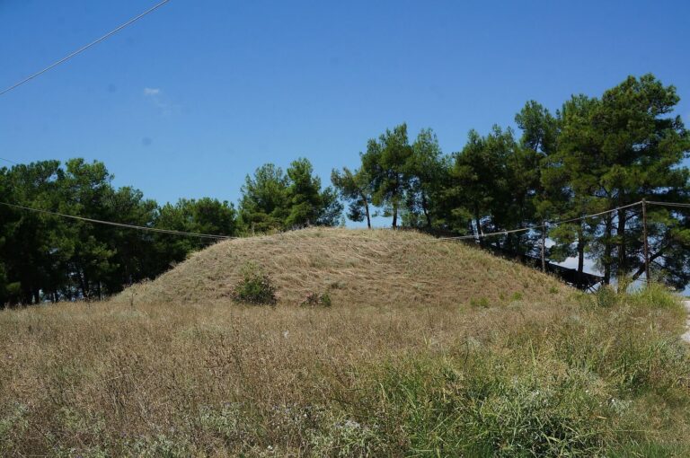
Excavations took place at the fortress from 1984 to 1993, followed by large-scale rescue work in 2007–2008. The fortress was designated a protected archaeological site in 1987. Protection was extended in 1994 to the Iron Age settlement and cemetery on the hill’s southern and southeastern slopes.
Remains
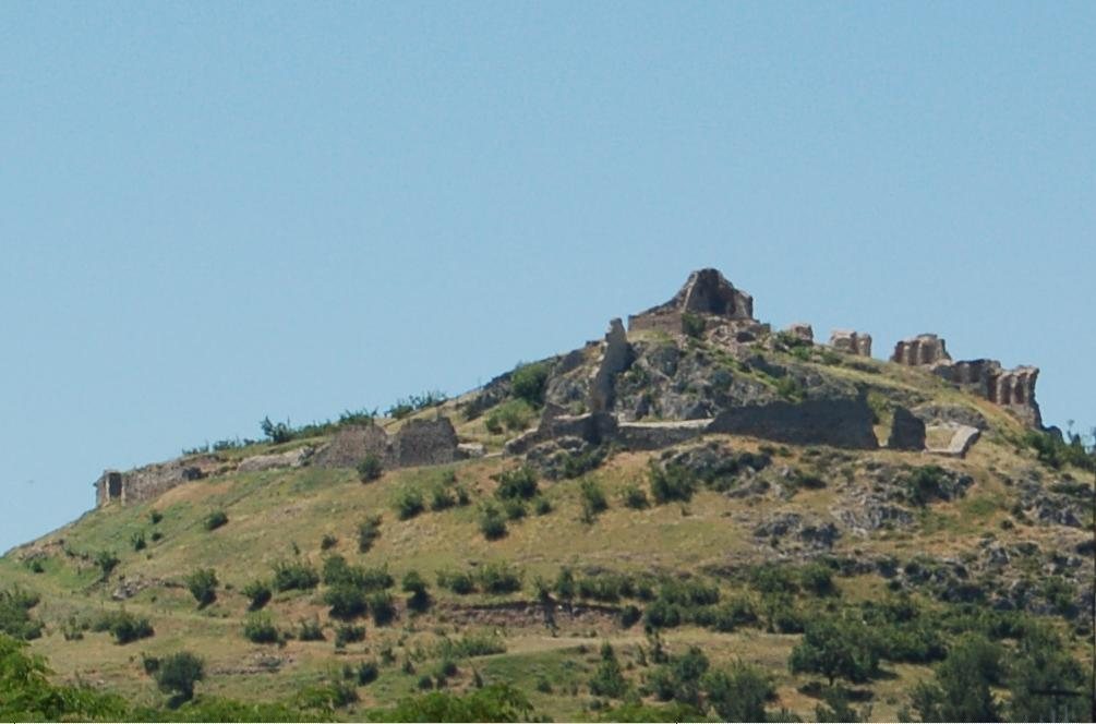
The medieval fortress occupies the summit of a naturally defensible hill 106 metres high, south of and above the modern village of Gynaikokastro. Its outer enclosure covers about 2.5 hectares and is reinforced by towers; a separate fortified area, the Upper City, occupies its northeastern part.
Outer enclosure
The outer wall extends for 614 metres, with rectangular and semicircular towers spaced along it. Much of the wall on the northern and western sides is in ruins. The main entrance was on the southeastern side, with a projecting defensive structure, or bastion, on either side. It is now almost completely destroyed. A secondary entrance stood at the northeastern corner of the enclosure.
Upper City
The Upper City covers about 0.2 hectares and has its own four-sided fortification. Its central building is a two-storey square tower measuring 13 by 9 metres, the fortress’s best-preserved and most distinctive landmark. The tower has been restored, and two cisterns, reservoirs for storing water, survive in its basement. The positions of two gates in the Upper City remain visible: a central gate on the southeastern side and a smaller one.
Other remains
Foundations of other buildings and a well survive within the fortress. The remains of an Iron Age settlement and cemetery lie on the southern and southeastern slopes of the hill.