Guia Fortress: A Portuguese Colonial Military Complex in Macau
Site at a Glance
- Rating
- 4.5
- Popularity
- Low
- Country
- China
- Primary era
- Early Modern
- Eras represented
- Early Modern, Modern
- Civilizations
- Chinese, Portuguese
- Site type
- Military
- Remains
- Fort
On this page12 sections
History
Guia Fortress is a seventeenth-century Portuguese colonial military complex in Macau, China, built on Guia Hill as part of the city’s defenses. Its construction began around 1622 and included the Chapel of Nossa Senhora da Guia. The fortress was completed that year and expanded in 1638 to strengthen its defensive capacity. Today, the complex forms part of the Historic Centre of Macau, a UNESCO World Heritage property that recognizes historic urban, religious, military, and civic sites shaped by long-term Chinese-Portuguese interaction.
Foundation and Portuguese defense
The fortress took shape during the Dutch attempt to capture Portuguese Macau in 1622. Together with Fortaleza do Monte, it contributed to the defense of the city against the invasion. This was the only recorded military conflict involving Guia Fortress.
The chapel was built within the fortress, reflecting the combined military and religious character of the complex. The site remained an active Portuguese military area for centuries, with its position on the summit of Guia Hill giving it an important place in Macau’s defensive system.
British occupation and the lighthouse
In September 1808, a British expedition commanded by Rear Admiral William O’Bryen Drury occupied the fortress. Drury was a British naval commander in Asian waters, and the occupation was intended to protect the Portuguese colony against a possible advance by Napoleonic forces. British troops withdrew later that year after approximately 80,000 Chinese soldiers gathered outside Macau.
A lighthouse was built beside the chapel between 1864 and 1865. It became a major navigational landmark and its geographic coordinates later served as Macau’s georeferencing point. The lighthouse is described as the first Western-style lighthouse in the Far East and on the China coast.
Military closure and public opening
Guia Fortress remained a restricted military area until the Portuguese military garrison withdrew in 1975. Worshippers were admitted to the chapel only twice a year, on 5 August, associated with the liturgical commemoration of the Dedication of the Basilica of Saint Mary Major in Rome, and on the day devoted to ancestor worship. In 1975, the fortress buildings, including the underground tunnels, opened to the public and were converted into a tourist attraction.
Routine conservation work in 1998 uncovered frescoes in the chapel. Their subjects combine Western and Chinese themes, adding evidence of the cultural interaction represented by the complex.
Heritage protection and urban development
The fortress is included within the Historic Centre of Macau, which was inscribed as a UNESCO World Heritage property. Its setting later became the focus of disputes over urban development. In 2007, Macau residents complained to UNESCO about construction projects around the World Heritage site. UNESCO warned the Macau government, after which former Chief Executive Edmund Ho signed a notice regulating building heights around the site.
Since 2010, the Macau Liaison Office of the Central People’s Government, constructed at the foot of Guia Hill, has obstructed views of the fortress and lighthouse. Local residents and scholars have regarded the development as evidence that heritage conservation was neglected in urban planning. In 2015, the New Macau Association submitted a report to UNESCO concerning the protection of Macau’s cultural heritage from urban development. The following year, UNESCO spokesman Roni Amelan said that the organization had requested information from China and was still awaiting a response.
Also in 2016, the Macau government approved an 81-metre height limit for a residential project. The limit was reported to conflict with city regulations governing building heights around the World Heritage site. Stanford professor Ming K. Chan and University of Macau professor Eilo Yu argued that the Guia Lighthouse case demonstrated the neglect of heritage conservation in Macau’s urban planning.
Remains
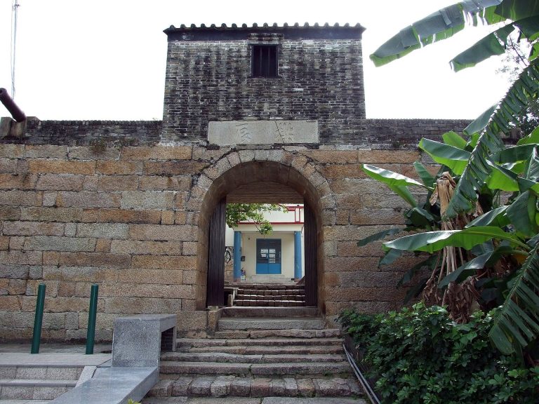
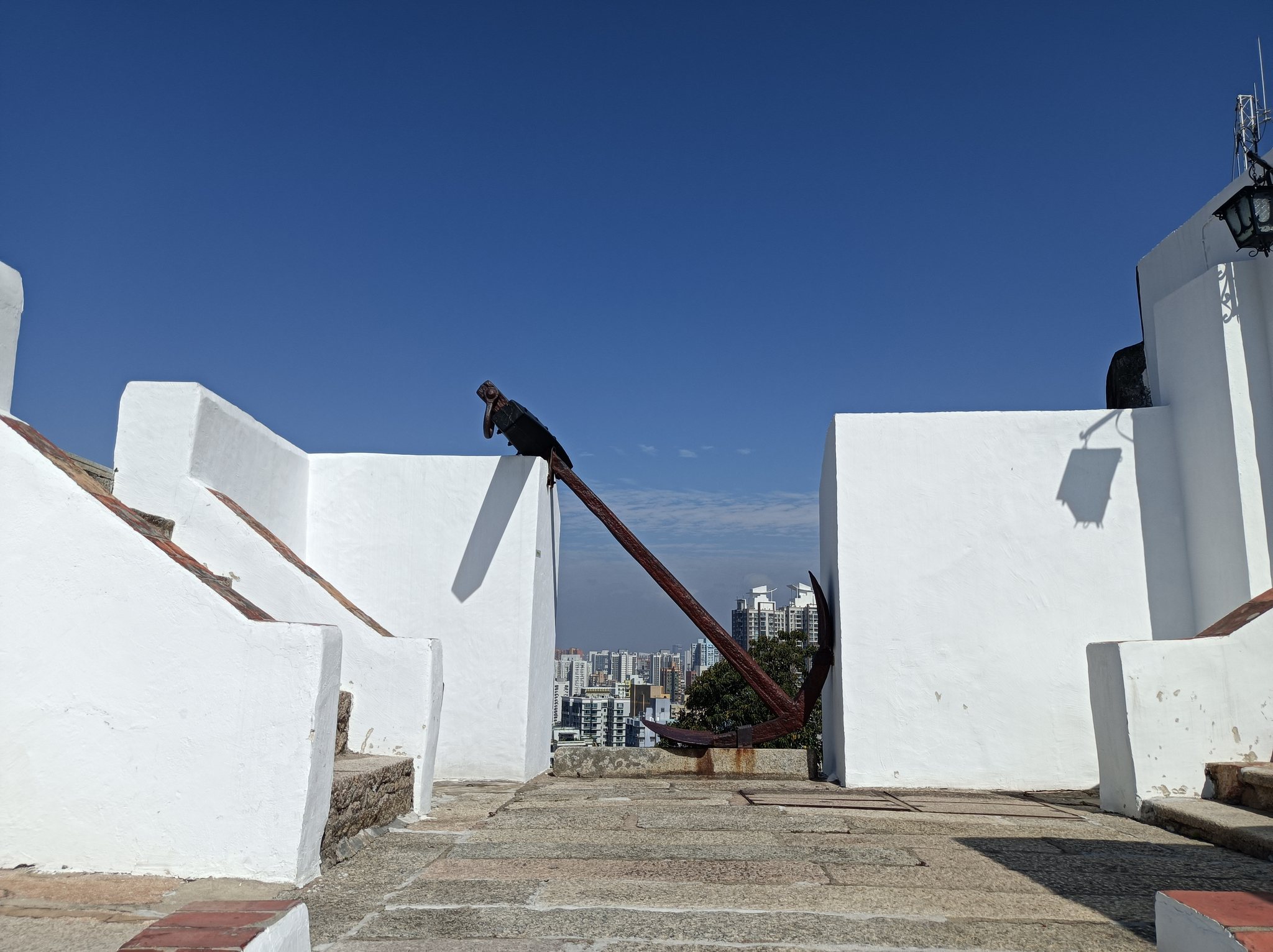
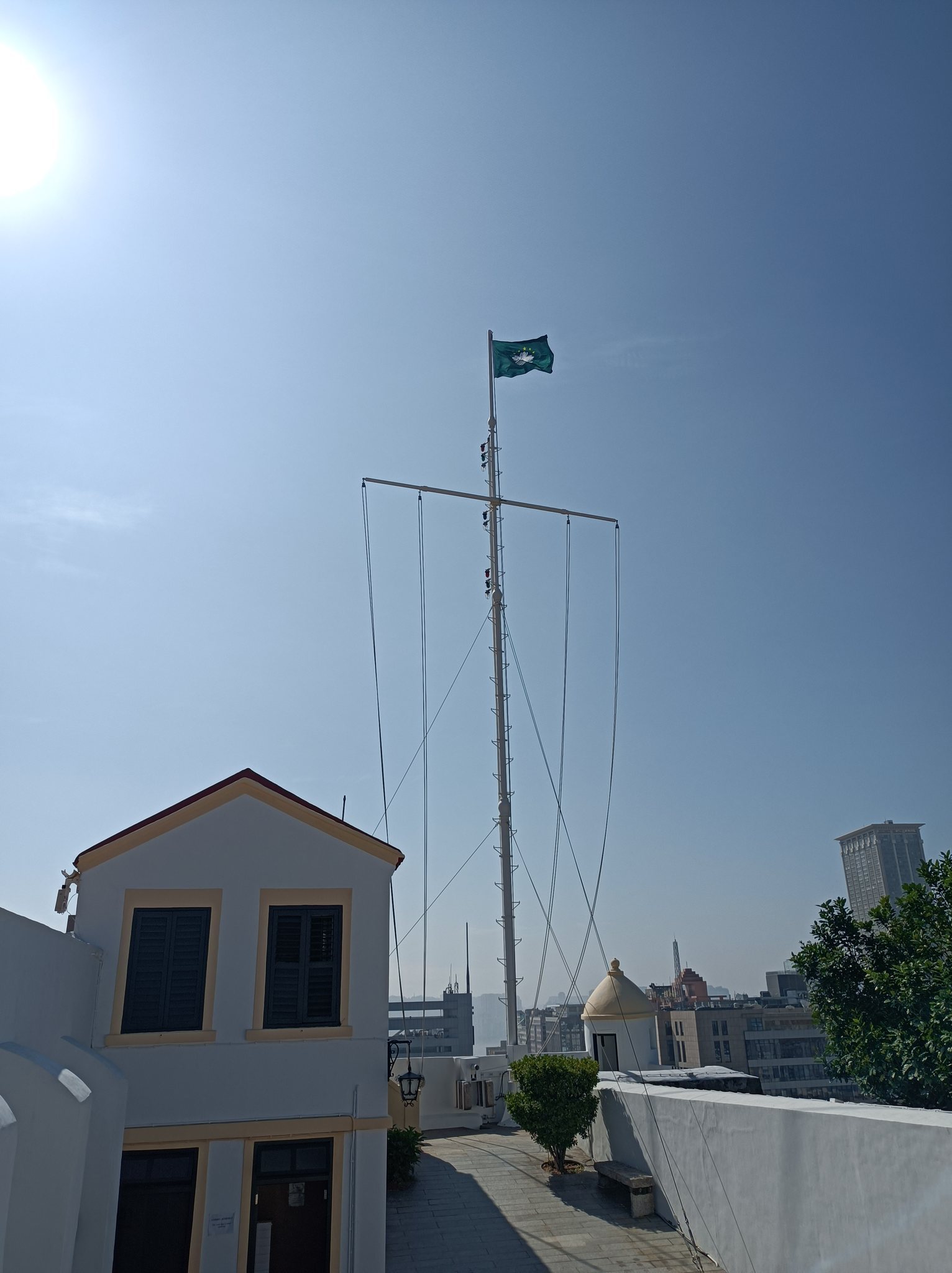
The complex occupies the summit of Guia Hill, the highest point on the Macau Peninsula, at an elevation given as approximately 90 metres above sea level, or 91.4 metres for the hill itself. The fortress has a trapezoidal plan and covers about 800 square metres. Its military remains include a powder magazine, a guard tower, a cistern, and underground tunnels near the lighthouse and chapel.
Fortress defenses and underground installations
Fortress structures
The trapezoidal fortress is organized around defensive and practical military facilities. The powder magazine stored gunpowder, while the guard tower supported the garrison’s defensive duties. A cistern provided water within the fortified complex. These structures belong to the fortress’s military layout, which was expanded in 1638 after its completion in 1622.
Underground tunnels
Several underground tunnels lie near the lighthouse and chapel. During the Second World War, they protected the garrison from air attacks and also served as military installations containing electric generators, rest rooms, and stores for fuel and food. Their lengths range from 46 metres for the shortest tunnel to 456 metres for the longest.
Religious and navigational buildings
Chapel of Nossa Senhora da Guia
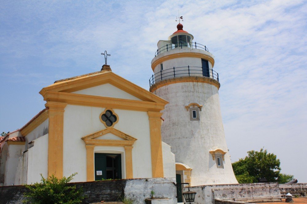
The Chapel of Nossa Senhora da Guia was built around 1622 inside the fortress, next to the later lighthouse. Conservation work in 1998 uncovered frescoes whose themes combine Western and Chinese subjects. The paintings provide a visual expression of the cultural interaction associated with the chapel and the wider historic complex.
Guia Lighthouse
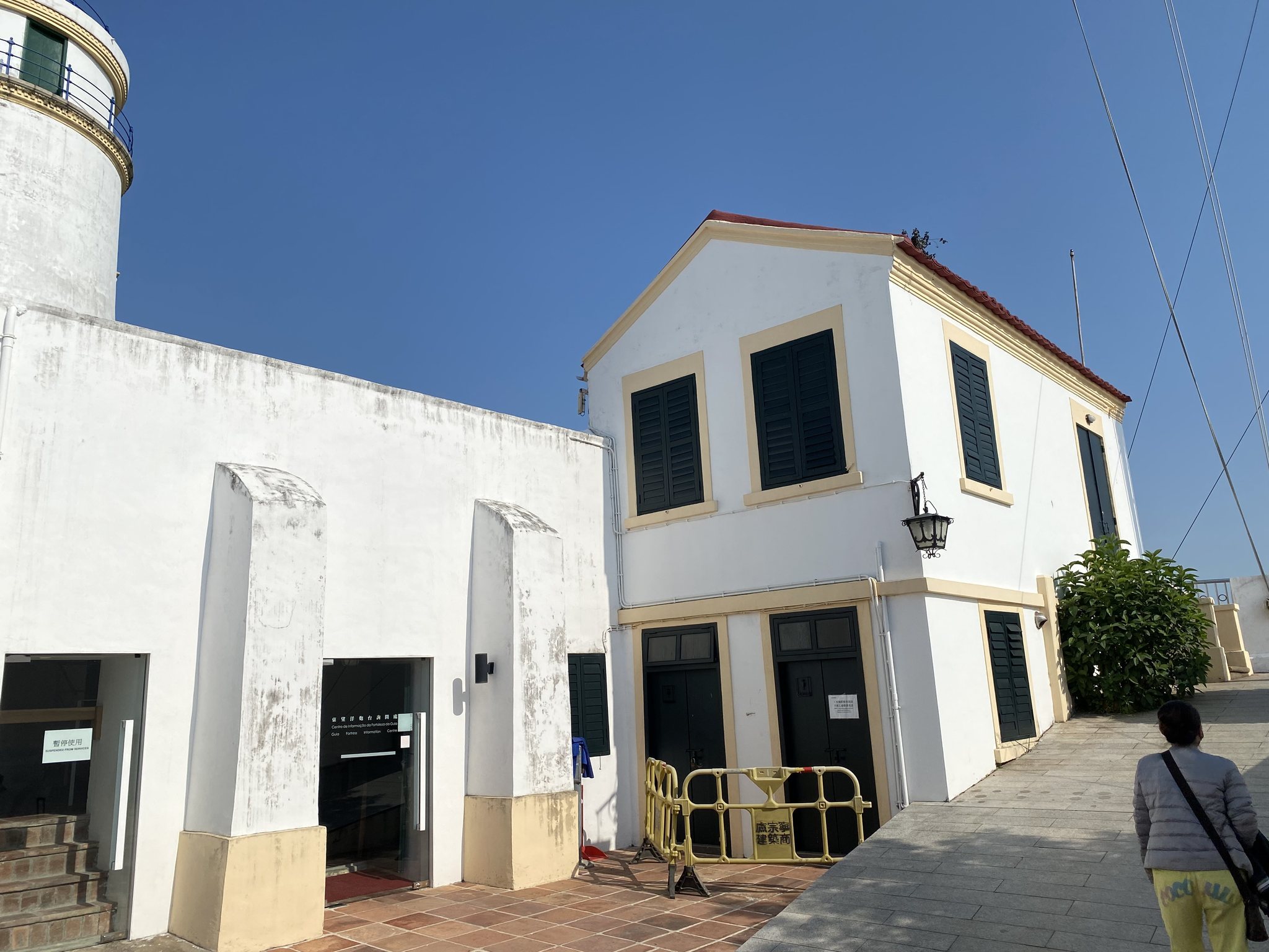
Guia Lighthouse stands beside the chapel and was constructed between 1864 and 1865. The concrete-clad stone tower is 13.5 metres high and has a massive cylindrical form, a double balcony, and a lantern. Its tower is white with gold trim, while the lantern has a red roof.
The lighthouse has a focal height of 108 metres, meaning the elevation of its light above the reference level used for navigation. In clear conditions, its range is approximately 16 nautical miles, or 30 kilometres. Its light has the characteristic Fl(2) W 10s and is powered by mains electricity. The light was deactivated from 1874 to 1910.