Section of the Old City Walls of Macau: Portuguese Colonial Defenses
Site at a Glance
- Country
- China
- Primary era
- Early Modern
- Eras represented
- Early Modern
- Civilizations
- Ming, Portuguese
- Site type
- Military
- Remains
- Wall
On this page9 sections
History
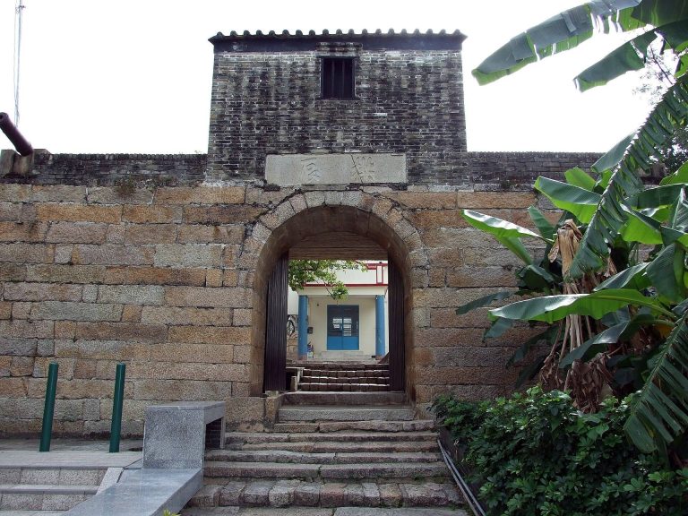
The Section of the Old City Walls of Macau is a surviving remnant of the Portuguese defensive system in Macau, China. Portuguese authorities built the city’s walls between 1568 and 1569 to protect it from attacks by Chinese forces and others.
Construction and contested rebuilding
The walls, together with artillery batteries, fortified positions for guns, formed defenses around the northern, eastern, and southern parts of the peninsula. The Ming dynasty, which ruled China from 1368 to 1644, opposed the Portuguese construction because it had not been authorized. Ming authorities ordered the fortifications demolished several times.
After a Dutch invasion attempt failed in 1622, Ming authorities strengthened the defenses. Portuguese officials rebuilt the northern wall and its batteries in 1632 despite continued opposition, citing the danger of another Dutch attack.
Deterioration and the 2022 collapse
The wall system was not adequately maintained and deteriorated over time. The surviving section forms part of the Historic Centre of Macau, added to the UNESCO World Heritage List on 15 July 2005 under criteria ii, iii, iv, and vi. These criteria are categories used to assess cultural heritage value.
On the evening of 9 June 2022, a landslide caused part of the old wall near Cacilhas Road and the infectious-disease building at Guia Hospital to collapse. A wall at the adjacent Ka On Building parking area also fell, and nearby homes were affected. An inspection the following day found no immediate structural danger to Ka On Building. Emergency maintenance began, and authorities halted a nearby private construction project.
Contractors had raised concerns on 20 and 27 May, and officials had inspected water seepage and advised that drainage be cleared. On 13 June, an inspection found rainwater passing through a gap between Kam Lai Building and the retaining wall, a stone structure holding the slope in place. Officials recommended repairing the gap and keeping drainage clear.
An investigation summary released in September attributed the collapse to instability in the stone retaining wall, combined with heavy rain and simultaneous work near the hospital and a private site. It also identified weaknesses in construction planning, slope-safety assessment, and monitoring and protection of the old wall. At the private site, manual checks took place every three days and did not adequately assess the wall, especially the retaining structure. Before hospital work began, there had been no detailed examination of the old wall’s dimensions and construction, or of the hillside and retaining wall’s stability. The investigation also noted insufficient safety monitoring, wall protection, and rainwater collection and drainage measures.
Remains
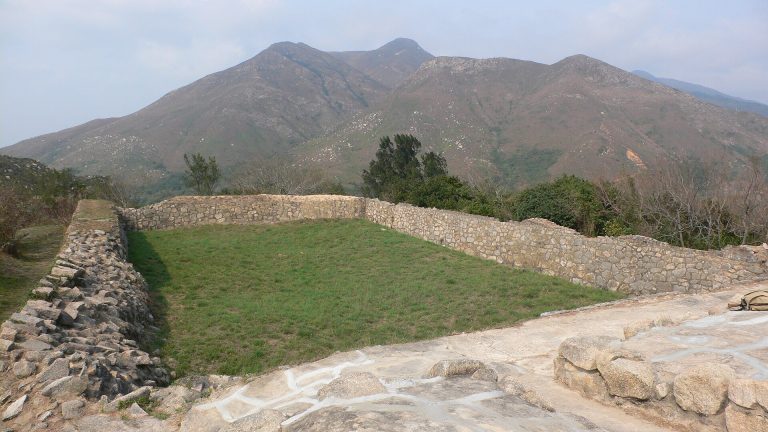
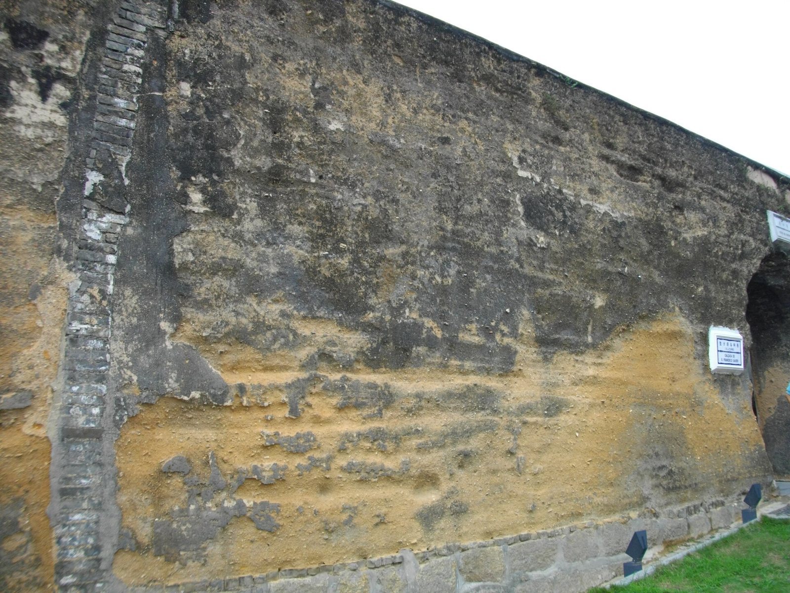
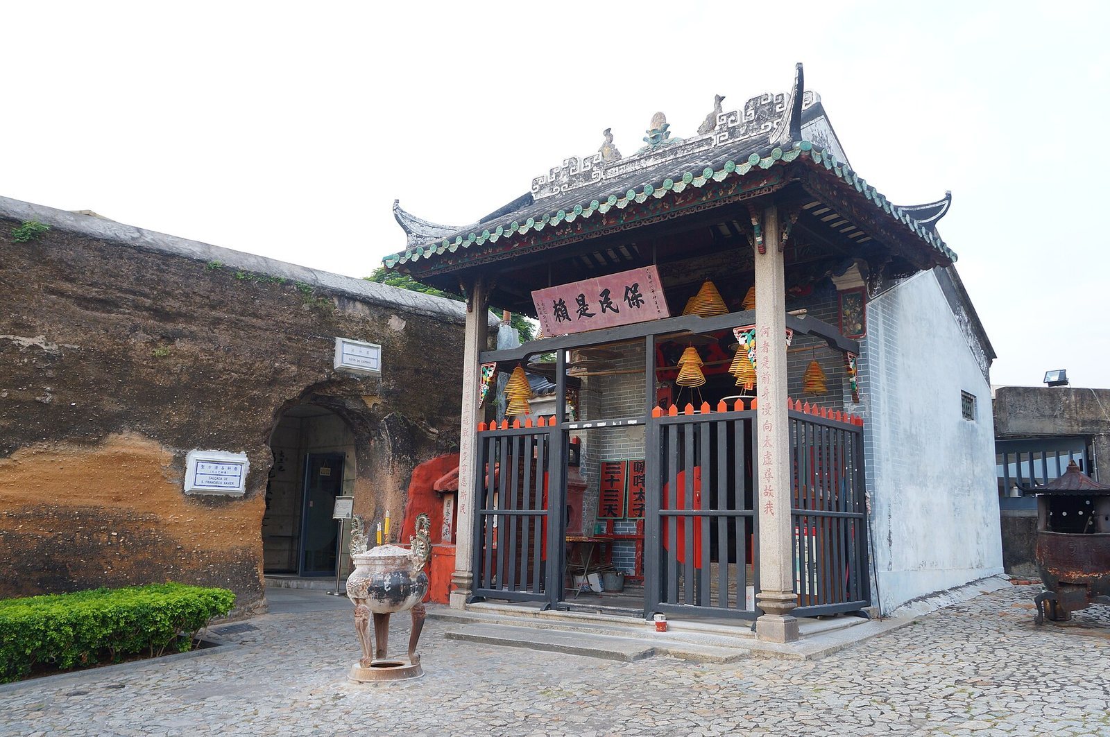
The old defenses survive in scattered sections along their former circuit. The surviving fabric includes compacted earth construction, with brick used to frame an arched opening in the section described on St Francis Slope.
Course of the former circuit
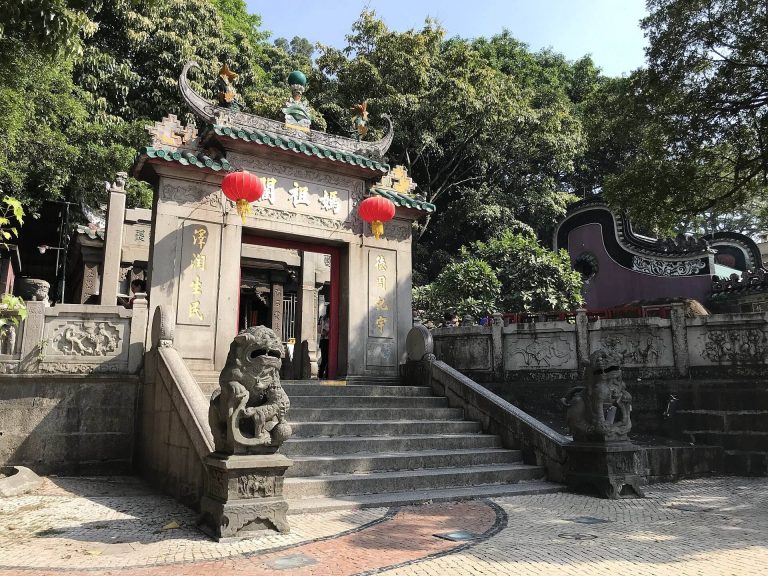
The circuit ran from the western side of the observatory atop Guia Hill, down the slope and up to Mount Fortress, then back down toward an orphanage. It continued north around White Pigeon Garden and west of the St Paul’s precinct, before running south through streets and past the Great Wall. Farther south, it turned northeast behind A-Ma Temple, dedicated to the Chinese sea goddess A-Ma, went around the fortification on Penha Hill, and reached the waterfront. The enclosed land lay south of St Paul’s Gate.
Surviving sections
St Francis Slope
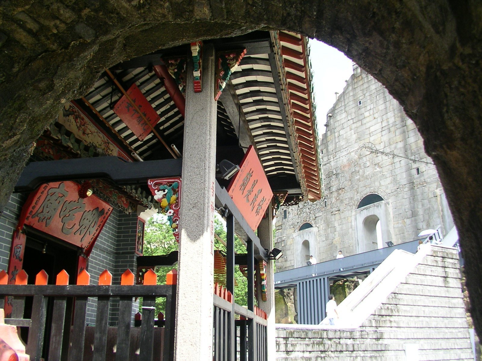
On St Francis Slope in St Anthony Parish, a local administrative district, a surviving stretch stands in front of Na Tcha Temple beside the Ruins of St Paul’s, the remaining facade of a former Jesuit church complex. A residential area lies behind the yellow-earth wall. This section is 18.5 metres long, 5.6 metres high, and 1.08 metres wide. Its compacted layers contain sand, mud, fine stones, and oyster-shell powder. A rounded doorway framed by a brick arch measures 1.8 metres wide and 2.8 metres high. An old signboard for an incense shop stands at one end.
Other traces
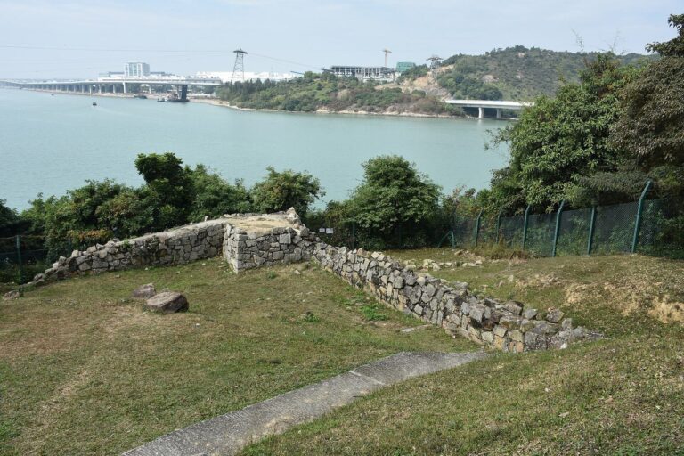
Further remains can be found behind the rear gate of St Rosa Girls’ School on Guia New Street, on the slope between Guia Hospital and Cacilhas Garden, within part of Ricci School’s perimeter wall, and at the lookout on Penha Hill.
Extent and dimensions
Across the wider wall system, surviving sections reach up to 10 metres in height and measure between 1 and 3 metres in width. The damaged stretch near Cacilhas Road is about 50 metres long and roughly 400 years old.