Glauberg: A Celtic Hillfort and Princely Burial Complex in Germany
Site at a Glance
- Popularity
- High
- Country
- Germany
- Primary era
- Iron Age
- Eras represented
- Iron Age, Medieval
- Civilizations
- Celtic, Hallstatt culture
- Site type
- Military
- Remains
- Fortified Town
On this page14 sections
History
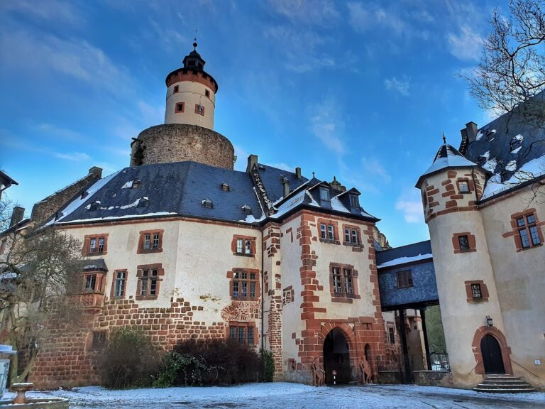
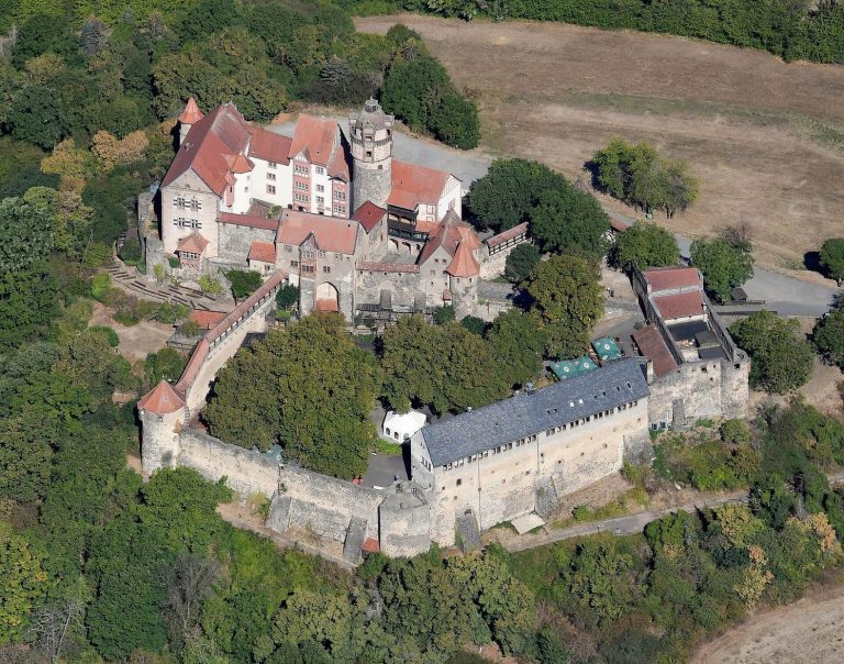
Glauberg is a Celtic fortified hill settlement in Glauburg, Germany, whose defenses reached their greatest scale in the sixth or fifth century BC during the late Hallstatt and early La Tène periods, successive Iron Age cultural periods in central Europe. It became an important regional center and the seat of an early Celtic prince. High-status burials in a sanctuary complex south of the settlement underpin its description as a princely seat. Glauberg is among the most important early Celtic centers in Europe and the most northeasterly known example of its type.
Early occupation
The hill’s defensible position, water, fertile land, and location along natural routes drew people over many centuries. The plateau was occupied by the Rössen culture around 4500 BC, then by a larger Michelsberg settlement around 4000 BC, which may have had fortifications. Later, Urnfield communities lived there around 1000–800 BC.
Celtic center
In the late Hallstatt and early La Tène periods, Glauberg became a regional center. Its large fortified settlement was an oppidum, a major fortified center of the later Iron Age. The defenses reached their most extensive and elaborate form around the sixth or fifth century BC and continued in use until the second or first century BC.
The high-status graves south of the settlement established Glauberg’s association with an early Celtic ruler. The wider burial and earthwork complex has been interpreted as a ritual landscape, while the warrior statue and related finds have prompted suggestions of an ancestor cult. Discoveries at the site have also broadened understanding of Celtic burial, monumental construction, and sculpture, and support interpretations of early contact with Mediterranean civilizations.
Late antique and medieval occupation
A break in settlement coincided with the Roman occupation of Germany. Glauberg lay about five kilometres from the Limes Germanicus, the Roman frontier system in central Europe, and this proximity may help explain the interruption. In the fourth and fifth centuries AD, the hill was resettled as the seat of a local Alamannic king. The Alamanni were a confederation of Germanic peoples active in central Europe. From the seventh to ninth centuries, the Franks, a major early medieval western European people and political power, maintained a substantial fortification there, renewing and enlarging its defenses.
During the twelfth and thirteenth centuries, Glauberg became part of the Hohenstaufen castle system. The Hohenstaufen, also known as the Staufer, were a medieval German ruling dynasty. The fortifications were renewed and a castle was built, perhaps as part of an effort to foster an urban center. The castle was probably destroyed in 1256, ending occupation of the hill.
Rediscovery and archaeological research
For a long period, people attributed the plateau’s ancient ruins to the Romans. The discovery of a fragment of an early La Tène neck ring in 1906 established the site’s prehistoric character. Archaeologist Heinrich Richter led excavations focused on the fortifications in 1933–1934, but results and records from earlier investigations were accidentally destroyed in the final days of the Second World War.
Research directed by archaeologist F.-R. Hermann ran from 1985 to 1998 and included investigation of the burial mound. Aerial exploration in 1988 revealed traces of the first mound, which local amateur historians recognized; geophysical survey later identified a second. The State Archaeological Service of Hesse excavated the first mound from 1994 to 1997, and the discovery of the warrior statue in 1996 brought Glauberg international attention. A German Research Foundation project examined the Celtic settlement and its surroundings from 2004 to 2006. Later investigations also examined a massive rampart identified through lidar surveys.
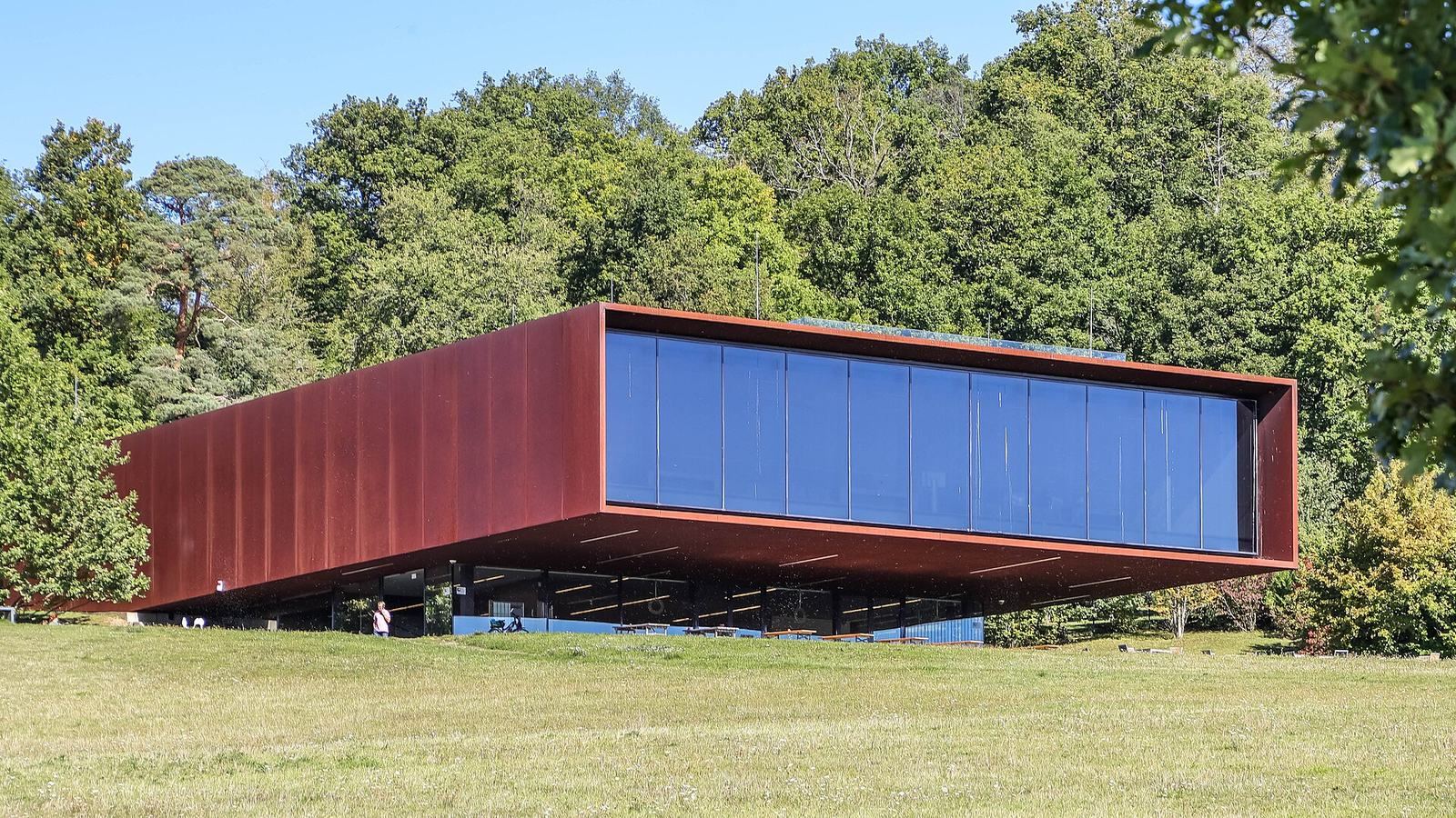
Finds made from the 1990s onward established the burial and sculpture complex as a previously unrecognized form of European prehistoric monument. An archaeological park was developed to interpret the site and present finds locally, and construction of a museum devoted to Celtic archaeology began in 2007.
Remains
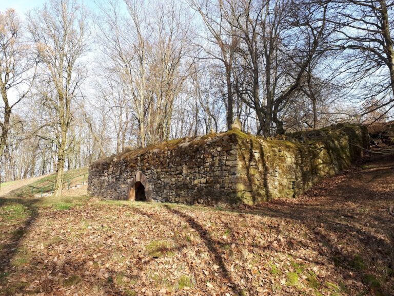
The remains occupy a basalt ridge on the eastern edge of the Wetterau plain, between the Nidder and Seeme rivers. At about 271 metres above sea level, the ridge rises roughly 150 metres above the surrounding land. Its nearly level summit measures about 800 metres long and 80–200 metres wide. The ground drops steeply toward the Nidder valley in the northwest and connects with rolling uplands to the south. The Celtic settlement and its southern earthworks combine banks, ditches, and walls with dry-stone and timber-and-stone construction, and possibly mudbrick.
Hilltop settlement
Fortifications
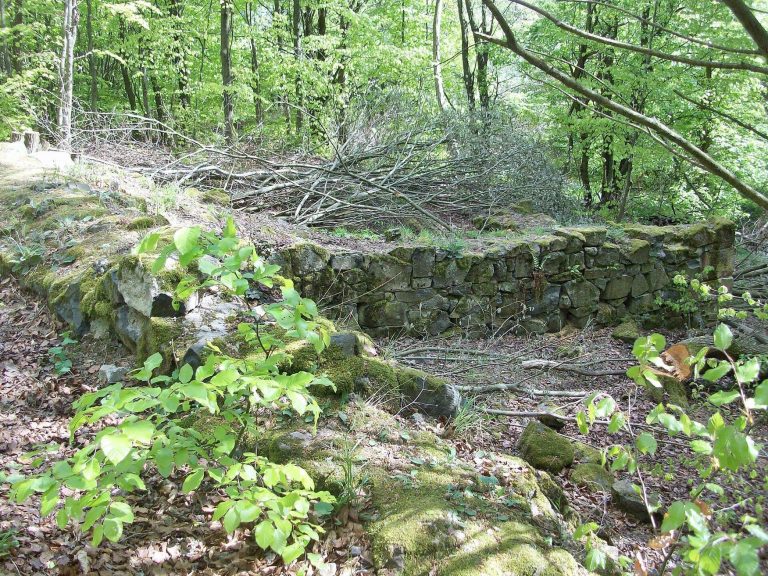
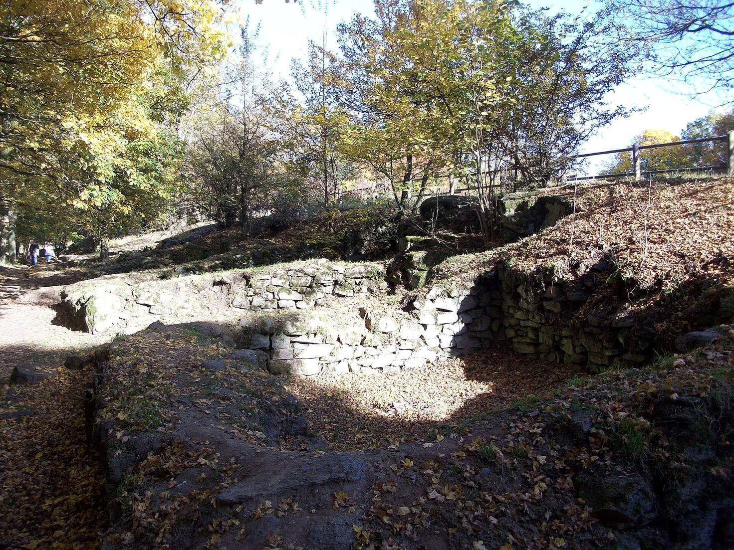
The Celtic defenses enclosed about 8.5 hectares, in an area roughly 650 metres long and nearly 500 metres wide. A massive ditch and bank crossed the northeastern edge, where the slope is gentler, separating the hill from the adjoining ground and perhaps marking an earlier defended promontory. Walls also fortified the northern and southern edges. Construction included dry-stone walls and a timber-and-stone rampart known as murus gallicus; mudbrick may also have been used. An outer line of defenses lay beyond the settlement’s northeastern edge.
Water supply and entrances
A small pond on the summit collected surface runoff rather than water from springs. After the Second World War, demolition work broke the clay layers that had held its water, and the pond drained. Because it could not supply a settlement of this scale, a northern annex was enclosed by two walls running downslope. The roughly triangular area, about 300 by 300 metres, included a spring and a large reservoir measuring about 150 by 60 metres. At least two complex gates provided access: a main entrance in the northeast and a smaller one in the south. Their arrangements appear designed to obstruct attackers. The settlement interior is poorly understood, but probably held houses, workshops, and storage areas.
Burial mounds and ritual landscape
Mound 1
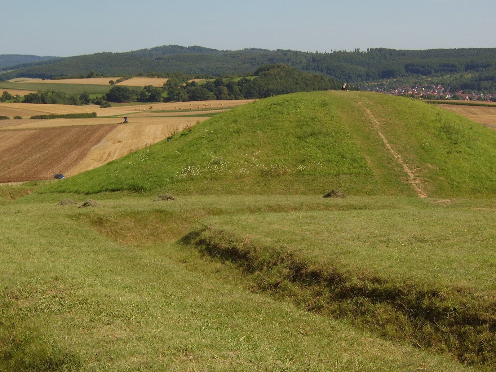
About 300 metres south of the settlement, mound 1 originally measured nearly 50 metres across and six metres high, with a surrounding ditch about 10 metres wide. Its features included a central pit, perhaps intended to mislead grave robbers, a wooden burial chamber to the northwest, and a cremation burial in a wooden container to the southeast. The chamber, measuring about two by one metres, held an unburned body and survived in exceptional condition. It was removed intact for excavation in a laboratory in Wiesbaden. The warrior burials included swords and other weapons. Objects from the principal chamber, wrapped individually in cloth, included a gold neck ring and a bronze tubular jug that had held mead.
Mound 2
Mound 2 lay about 250 metres south of the first mound and was approximately half its size. It held a warrior burial with weapons, a decorated fibula, a brooch used to fasten clothing, a belt, and a gold ring.
Earthworks and processional route
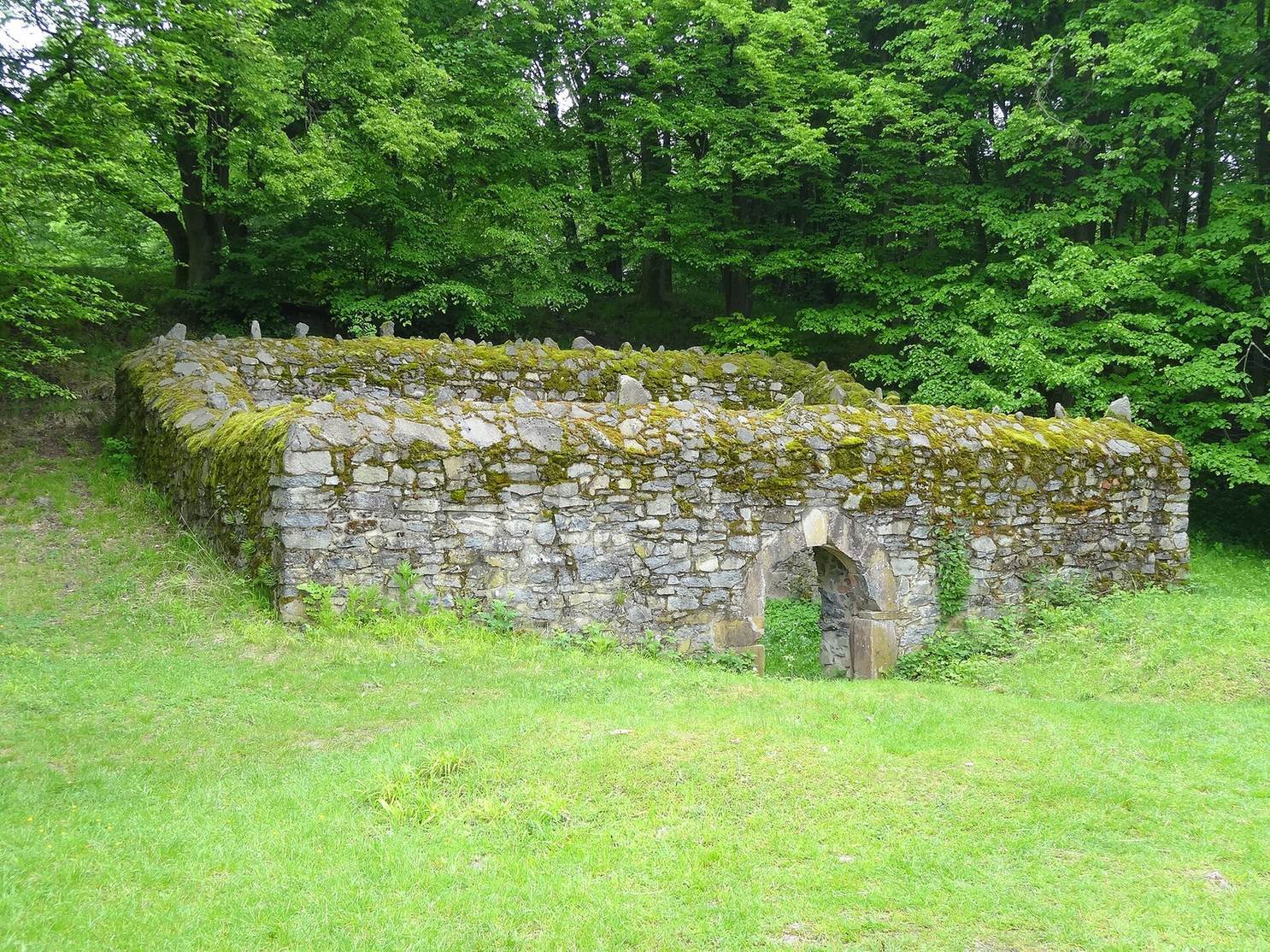
Banks and ditches south of the settlement, some associated with mound 1, extend across an area nearly two kilometres by two kilometres. A small square ditch west of the mound, together with other features and large postholes, may mark a shrine or temple. A processional route about 350 metres long and 10 metres wide approaches the mound from the southeast, well beyond the settlement’s perimeter, and is flanked by deep ditches. The broader complex also contains at least two burials and the warrior statue. The southern banks and walls are generally understood as ritual or sacred features rather than defenses.
The route has been interpreted as aligned with moonrise at a major lunar standstill, the approximately 18.6-year cycle when the Moon reaches its furthest north and south positions on the horizon. If correct, the alignment would imply observations over an extended period, perhaps across generations. A Late Bronze Age precursor to the route has also been proposed. Sixteen large postholes are associated with the mound and enclosure, though their date and purpose remain uncertain. Some interpretations connect them with observation of the sky, including the solstices; others place them later and identify them as parts of timber structures such as a bridge or temple. The mound and a feature interpreted as an astronomical calendar have been reconstructed in the archaeological park.
Warrior statue
A life-sized sandstone statue discovered just outside the larger mound dates to the fifth century BC. It stands 186 centimetres tall, weighs 230 kilograms, and is made from sandstone available within a few kilometres of Glauberg. The figure is a moustached armed man wearing trousers and a tunic of composite armour, with a wooden shield and a short sword in a scabbard at his right side. The sword has a human-shaped hilt. The statue survives except for its feet.
The figure wears a neck ring with three pendants, similar to the gold ring from mound 1, and rings on both arms and the right hand. Its hood-like headdress, called a leaf crown, has two projections resembling mistletoe leaves and may indicate a religious or priestly role. A diadem with two curved side wires from the mound 1 burial may have formed a similar headdress. Fragments of three related statues were found in the Glauberg area. All four may once have stood in the rectangular enclosure and been connected with an ancestor cult. The surviving statue has also been interpreted as an idealized image of the person buried in mound 1.