Gier Roman Aqueduct: Roman Water Supply to Lyon


Site at a Glance
- Rating
- 4.6
- Popularity
- Low
- Country
- France
- Primary era
- Classical
- External website
- Open
- Eras represented
- Classical
- Civilizations
- Roman
- Site type
- Infrastructure
- Remains
- Aqueduct
On this page17 sections
History
The Gier Roman Aqueduct in France was a Roman water-supply system built to serve Lugdunum, the Roman city established at present-day Lyon and the administrative capital of Gallia Lugdunensis. Constructed probably during the first century AD, it drew water from the Gier River in the Massif du Pilat and became the longest and best-preserved of the four aqueducts that supplied the ancient city. Its route extended for approximately 85 to 86 kilometres, crossing the modern Loire and Rhône departments before reaching Lyon.
Construction and dating
The aqueduct’s precise date remains debated. It was once linked to Emperor Claudius after eighteenth-century discoveries at Fourvière revealed lead pipes bearing his name. The Chagnon Stone, found in 1887, led to a proposed date under Hadrian. An inscription reading “CLAVD AVG” on the Verbe Incarné Fountain later encouraged an Augustan attribution, while archaeological interpretation has also placed the work in the Augustan and broader Julio-Claudian periods.
Timber formwork found in the foundations of the Beaunant siphon in 2018 was dated by dendrochronology, the study of tree rings, to AD 110. This evidence supports construction under Trajan, the emperor whose official name included Hadrian, while allowing for completion during Hadrian’s reign. The system appears to have been built through one major campaign, since no part could have supplied water until the complete route was operational. Its net-like reticulated masonry resembles techniques used from the late first century BC through the first half of the first century AD, and a public fountain at Fourvière dating to about AD 50 required the finished aqueduct to function.
Protection and operation
The aqueduct was protected by legislation concerning the land around its channel and structures. The Chagnon Stone and the Rieu Stone carry the same Latin inscription issued in Hadrian’s name. It prohibited ploughing, sowing, and planting within the reserved strip. The wording recalls measures established under Augustus in 11 and 9 BC. The Rieu marker defined a protected area extending six to fifteen feet on either side of the aqueduct, while a comparable inscription at Venafro specified an eight-foot distance for buildings.
The route descended by about 105 metres from its source to Lyon. Its estimated capacity was approximately 15,000 cubic metres of water per day, and about 73 kilometres of the system ran through covered trench. Four inverted siphons, pressurized pipe systems that carried water down one slope and back up the other, enabled the aqueduct to cross the deep valleys of the Durèze, Garon, Yzeron, and Trion. The Durèze valley also had a longer channel that detoured around the valley, adding about 10 kilometres to the route. The duplication may have resulted from unreliable siphon operation.
Rediscovery and conservation
From the sixteenth century, Lyon-area writers and researchers documented the Roman aqueducts. Pierre Sala, Symphorien Champier, Claude de Bellièvre, Guillaume du Choul, and Jacob Spon helped preserve knowledge of the remains. Guillaume Marie Delorme’s study of 1760 partially reconstructed the Gier route and identified fourteen aqueduct bridges and three of its four siphons. François Artaud drew a complete route in 1817 from a lost Delorme manuscript. Paul de Gasparin surveyed and mapped the aqueduct in 1834, producing a longitudinal profile and estimating its daily discharge at 24,000 cubic metres. Alexandre Flachéron published a substantial study in 1840.
Germain de Montauzan’s 1908 thesis established the basis of modern research by refining the route, including the Chagnon loop, and describing its technical and architectural features. Work from the 1970s onward clarified the locations of inspection shafts, tunnels, and other sections. By 2001, fewer than one hundred of the approximately one thousand shafts thought to belong to the aqueduct had been identified. Several sections were protected as historic monuments between 1875 and 1986, including the Beaunant siphon bridge, the Plat de l’Air siphon installations, sections of the arcades, the Soucieu-en-Jarrest head reservoir, the Durèze remains, and the Crêtes piers. Another section was registered in 1964, and the aqueduct entered a heritage-at-risk programme in 2018.
Conservation at Chaponost in 2009 and 2010 removed vegetation and earlier repairs, restored original ground levels, and repaired the masonry with materials and methods informed by Roman construction research. A buried section threatened by construction of a public-housing building was moved by local citizens, businesses, and the municipality to a site near a car park for preservation and presentation. Because the relocated section had originally been intended to remain underground and later deteriorated after exposure, its eventual reburial was considered. Agricultural work at Saint-Joseph in 2012 pierced the underground channel, revealing a well-preserved section. In 2018, earthworks for a water-reservoir enlargement exposed two piers and about thirty facing stones, and one pier was moved for conservation and display.
Remains
The surviving aqueduct combines covered channels, tunnels, open-air crossings, walls, arcades, inspection shafts, reservoirs, and pressurized lead-pipe siphons. The concrete conduit was about 3 metres high and 1.5 metres wide externally, and in places lay as deep as 4 metres below ground. The route included about twelve tunnels, possibly thirteen, around thirty open-air crossings, and ten sections carried on walls or arcades. Nearly ninety inspection shafts had been identified by 2001, with an average interval of 77 metres. Their spacing corresponds approximately to Vitruvius’s recommendation of one shaft every two actus, or about 240 Roman feet.
Source and western valleys
Intake and early route
At Saint-Chamond, the aqueduct took water directly from the Gier River rather than from a spring. The original intake and the underground entrance formerly identified near La Martinière in the Izieux district have not survived. The dam at Moulin-Combat is considered either the first surviving aqueduct feature or its intake structure. At Pont Nantin, a bridge about 200 metres long carried the channel across the Janon valley on approximately thirty arches. Road widening buried the bases of five visible piers in 1998. The bridge across the Langonand valley originally had seven to nine piers, of which five remain visible.
Genilac and the Durèze crossing
Between Saint-Chamond and Genilac, the aqueduct followed the terrain and crossed smaller streams on bridges that have since been destroyed. A parallel upper trench runs for about 22 kilometres, generally 14 to 15 metres above the aqueduct. It is usually interpreted as an abandoned initial route whose higher level would have required excessive construction work. At Genilac, the 500-metre trench at Collenon was cut directly into the rock and served as a conduit.
At Leymieux, the Durèze siphon began at a head reservoir with seven visible lead-pipe outlets from ten original openings. Several bridge piers remain in the valley, while the bridge over the Feloin retains its abutments from a former seven-arch structure. A later ordinary channel, approximately 11.5 kilometres long, accompanied the siphon and probably postdated it. This channel included the tunnel known as the Cave du Curé. At Valfleury, remains stand on both sides of the Lachal road toward Chagnon, with another remnant in woodland near the Durèze.
Saint-Martin-la-Plaine and the Bozançon valleys
Saint-Martin-la-Plaine preserves a block from a pier of the Beaulieu bridge and the Fontanes tunnel, which is about 200 metres long. Three Roman timber formwork boards remain in place in the tunnel vault. At Saint-Joseph, the underground channel runs from the Rieu area toward Saint-Didier-sous-Riverie near the Bozançon bridge. A section exposed at the Cartet site in 2012 measured about 20 metres between two collapses. The pier exposed in 2018 is approximately 2 metres square and 2.6 metres high, weighs nearly 20 tonnes, and was moved for conservation and display. Differences in crop growth at Chourier also reveal buried remains.
At Saint-Didier-sous-Riverie, bridges and underground channels carried the aqueduct across the deeply cut Grand and Petit Bozançon valleys. A channel section was exposed where the Vieux Moulin road cut through it. At Saint-Maurice-sur-Dargoire, the Jurieux canal bridge is described as the aqueduct’s only complete bridge. The Granges canal bridge survives along the Bozançon.
Middle route through Mornant and Soucieu-en-Jarrest
Mornant and Taluyers
At Mornant, the aqueduct passed through an 825-metre tunnel. A 19-metre-deep inspection shaft remains visible at La Bruyère. The Corsenat bridge crossed the Mornantet valley for approximately 60 metres at a height of nearly 12 metres. It originally had eight or nine arches, of which one arch and two piers survive. Channel sections and an inspection shaft remain visible near the D30 road.
At Saint-Laurent-d’Agny, the channel remained underground across relatively level ground, with an inspection shaft at the Chemin du Loup. At Taluyers, it ran in a trench for about 850 metres. The visible remnant there is an inspection shaft on private property. At Orliénas, the Merdanson canal bridge survives as a final arch and scattered blocks.
Soucieu-en-Jarrest and the Garon source reservoir
At Soucieu-en-Jarrest, the Granchamp wall extends for approximately 200 metres and carries the channel into the commune. Its carefully finished reticulated masonry uses small stones set diagonally in a regular net-like pattern. Farther along, the channel alternates between buried sections, a wall, and a series of arches. The last of these is known as the Chameau because of its shape.
The Gerle head reservoir marks the upstream end of the Garon siphon. Its reservoir, channel, and arches retain pink waterproof mortar made with crushed tile, known as opus signinum. Reticulated masonry remains visible in places. At Brignais, the Garon siphon bridge originally had 23 arches, measured 208 metres in length, and reached a maximum height of 21 metres. Ten arches survive, six on the right bank and four on the left. Three arches of the Soucieu or Garon siphon bridge are also preserved in the Garon valley.
Chaponost and the Yzeron siphon
Garon tail reservoir and plateau route
At Chaponost, the Garon siphon ended at a tail reservoir at La Gagère. Its inclined approach and support survive, continuing into a wall with reticulated facing. This masonry treatment is described as unique in France and uncommon outside central and southern Italy. The aqueduct then crossed the Chaponost plateau on walls and arches. Surviving elements include arches on Louis Martel Street, a buried section with an inspection shaft, and a relocated conduit section that had been threatened by construction.
Plat de l’Air
At the Plat de l’Air, the channel was carried on 72 surviving arches from an original 92 before reaching the Yzeron siphon. The visible structure combines stone, brick, and rubble concrete. Its outer faces use diamond-patterned reticulated masonry alternating with two courses of broad red bricks, while the inner edges of the arches are built in brick. The pink opus signinum coating remains visible inside the channel. The site also preserves the Yzeron siphon’s head reservoir and the beginning of its inclined approach.
Yzeron and Beaunant structures
The Yzeron siphon crossed a depression nearly 3 kilometres wide between reservoirs. It was approximately 2,600 metres long and descended about 123 metres from the head reservoir to its lowest point, within a total fall of about 140 metres. Its low section included a 270-metre canal bridge, 17 metres high, designed to withstand pressure of about 13 bars.
Twelve parallel lead pipes, each about 27 centimetres in diameter, carried the water through the siphon. They were embedded in mortar and joined by soldering to resist pressure. The surviving head-reservoir structure and the start of the 5.8-metre-wide concrete inclined approach show the dimensions and arrangement of the pipe system. Foundations of the tail reservoir were found south of Sainte-Foy-lès-Lyon. The Beaunant siphon bridge formed part of the Yzeron crossing. Several arches were destroyed during construction of the D342 road, while the head-reservoir structure and the beginning of the descent remain.
Lyon and the Trion siphon
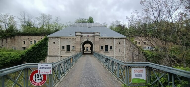
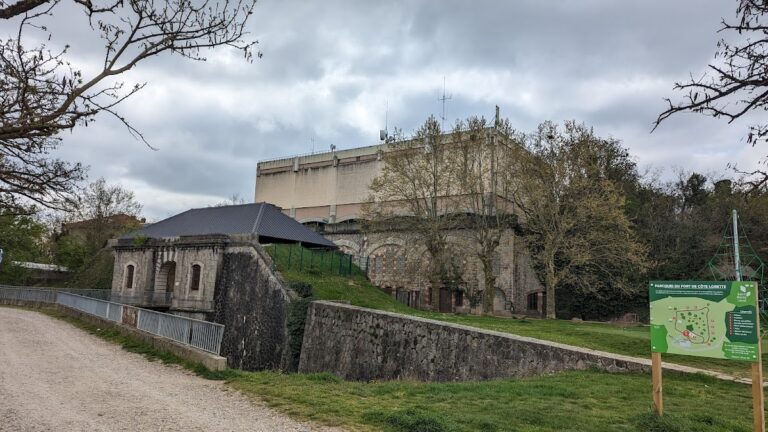
In Lyon, the Trion siphon began at a head reservoir within Fort Saint-Irénée. It crossed the Trion depression without a siphon bridge and ended at a tail reservoir near present-day Roger-Radisson Street, which has since been demolished. The surviving remains include aqueduct piers inside the fort, the support of the head reservoir and its inclined approach, and aqueduct structures on Roger-Radisson Street.