Gaulskopf: A Prehistoric Settlement and Early Medieval Hillfort in Germany
Site at a Glance
- Popularity
- Very Low
- Country
- Germany
- Primary era
- Medieval
- Eras represented
- Medieval
- Civilizations
- Carolingian
- Site type
- Military
- Remains
- Fort
On this page11 sections
History
Gaulskopf is a plateau with evidence of prehistoric settlement and an early medieval hillfort near Ossendorf in Warburg, Germany. The fort took shape from the mid-7th century and is regarded as one of Westphalia’s oldest and most important early medieval hillforts. Its development is linked to conflict between the Saxons and Franks, two distinct peoples and political communities. The timber-and-earth construction is a type often associated with Saxon fortifications, but whether the site served as an aristocratic stronghold or a place of refuge is uncertain.
Prehistoric occupation
People used the plateau during the Neolithic, especially in the period of the Michelsberg culture, a Neolithic culture of central Europe. Pottery fragments and animal bones dated through radioactive carbon decay point to sustained activity. Comparable finds have been made across the Diemel at the Rimbeck earthwork and at Calden in northern Hesse. Other isolated objects date to the Late Neolithic, approximately 2800 to 2000 BC, the Bronze Age, and the Early Iron Age. Whether the plateau had prehistoric defenses is unknown.
The early medieval stronghold
The fortification was used during the Carolingian period, named for the dynasty that ruled the Frankish realms through much of the early Middle Ages. Belt fittings were made at the settlement. Seventh-century warrior graves discovered in 1965 along Ossendorf’s old town path are thought to have been connected with the stronghold. The first excavations at Gaulskopf also took place in 1965.
Church and later occupation
A timber church foundation attributed to the 8th century is associated with the Saxon mission, efforts to convert the Saxons to Christianity. The settlement remained inhabited throughout the Carolingian period and into a later phase that ended sometime between 950 and 1100.
Remains
Plateau and fortification
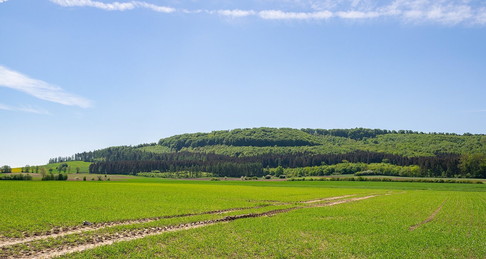
Gaulskopf is a 347.2 m-high spur of the 371.1 m Stockstein. The Diemel runs to the northeast, while steep slopes border the plateau to the north, east, and south. Its more accessible approach is from the southwest, where it joins the Stockstein. The ground rises farther southwest toward the 392.1 m Quast, and parts of the Asseler Forest extend across the hill. The early medieval enclosure measured about 300 m long and 100 to 150 m wide, with timber-and-earth defenses.
Western rampart
A timber-and-earth rampart defended the western side of the enclosure. It was about 3 m high and 10 m wide at its base.
Eastern entrance
The eastern entrance was a pincer gate, an approach flanked by two projecting walls that narrows toward the opening. It extended about 10 m and narrowed to approximately 3 m.
Church and archaeological finds
Timber church foundation
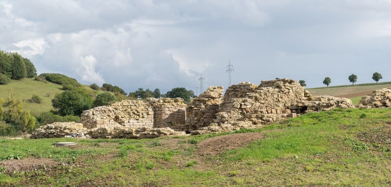
The remains include a timber foundation attributed to an 8th-century church. Its association with the Saxon mission connects the structure with efforts to bring Christianity to the Saxons.
Finds from the plateau
Objects from the Neolithic occupation include pottery fragments and animal bones dated through radioactive carbon decay. Isolated finds belong to the Late Neolithic, Bronze Age, and Early Iron Age. Material from the early medieval occupation includes beads and military objects, among them a pyramidal fitting from a long sword. Spurs, dress fasteners, and pottery fragments relate to the later occupation.