Ganghwa Sanseong: A Goryeo Capital Fortress on Ganghwa Island
Site at a Glance
- Country
- South Korea
- Primary era
- Medieval
- Eras represented
- Medieval, Early Modern, Modern
- Civilizations
- Goryeo, Joseon
- Site type
- Military
- Remains
- Wall
On this page11 sections
History
Ganghwa Sanseong is a Goryeo fortress on Ganghwa Island, South Korea, established in 1232 as a defensive capital during the Mongol invasions. Goryeo was the Korean dynasty ruling before Joseon. The island’s position near the mouth of the Han River and its relative security made it a suitable refuge for the court.
Goryeo Capital and Mongol Invasions
Military leader Ch’oe U, who held substantial power in the Goryeo government, decided to move the court from Kaesong during King Gojong’s reign. Work on the palace, fortress, and government facilities gained momentum in 1234. The relocated capital was planned to receive about 100,000 people from Kaesong. A government construction office, the Jangjakgam, probably oversaw the work. Around 2,000 soldiers took part, while civilians may also have helped and craftspeople from the capital likely produced roof tiles on site.
The defenses comprised three walls around the capital, designed to resist Mongol attacks from both land and coast. The outer wall was probably built first and also helped the government bring supplies from the mainland during the 39 years the court remained on Ganghwa. Built between 1233 and 1237, it formed part of the fortress’s broader defensive system.
In 1270, under the terms of a peace settlement with the Mongols, the Goryeo court returned to the mainland and all three walls were demolished. That June, the Sambyeolcho, a Goryeo military force, began a rebellion on Ganghwa. The fortress’s outer defenses may have influenced the Sambyeolcho’s construction of walls around Jeju Island; either or both fortifications may also have influenced Japan’s Genkō Bōrui, defensive works built there against Mongol invasions.
Joseon Rebuilding and Coastal Defense
Under the succeeding Joseon dynasty, the inner fortress was rebuilt on a smaller scale. The original walls had been made of earth. The inner and outer walls were later rebuilt in stone, while the middle wall was not reconstructed. The outer wall was repaired in 1618 during King Gwanghaegun’s reign, but the inner and outer defenses were damaged or destroyed during the Qing invasion of Joseon in 1636–37. The Qing were then China’s ruling dynasty.
Repairs to part of the fortress followed in 1652. In 1677, during King Sukjong’s reign, extensive work repaired and enlarged the walls. The outer wall was rebuilt in stone, and additional defenses were added along it. Late-seventeenth-century coastal defenses also included small fortified positions known as dondae, some built over earlier structures. Rain erosion prompted another reconstruction of the outer wall in 1743, begun by a local governor with King Yeongjo’s approval.
Nineteenth-Century Attacks and Modern Conservation
Ganghwa remained a military stronghold protecting the Han River into the twentieth century. The fortress was damaged during the French expedition to Korea in 1866 and the United States expedition to Korea in 1871. During the French invasion, the Oegyujanggak, an extension of the Kyujanggak royal library, was mostly destroyed. Copies of the Uigwe, records of royal ceremonies and state protocols, were taken to France and later returned to South Korea on permanent loan.
The Japan–Korea Treaty of 1876 was signed at Yeonmudang, a pavilion near the inner fortress’s west gate. Regarded in Korea as an unequal agreement favoring Japan, the treaty is commemorated at the site. The inner fortress became a national Historic Site in 1964, and the outer wall received a separate designation in 2003. Extensive restoration work on the fortress took place after 1977.
Remains
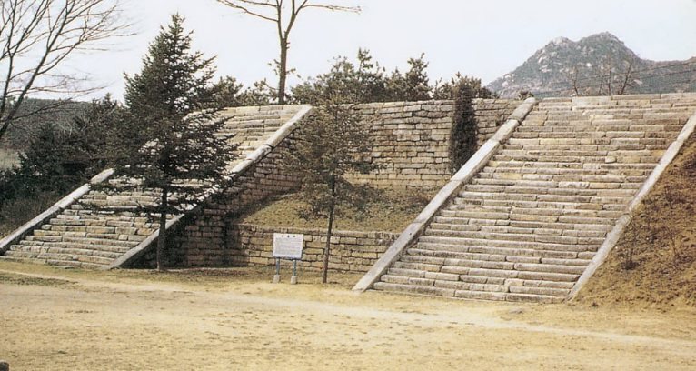
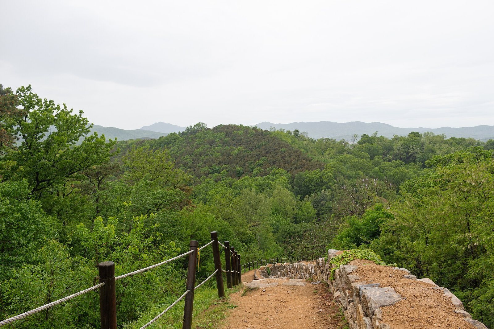
The fortress was arranged in three layers: an inner wall around the palace site, a middle defense around the inner palace, and an outer wall extending along Ganghwa Island’s eastern coast. Together, the walls covered a site area of about 790,000 square metres. The surviving landscape includes wall sections in the northern and southern foothills, as well as gates, rebuilt structures, and traces of the earthwork defenses.
Inner Fortress
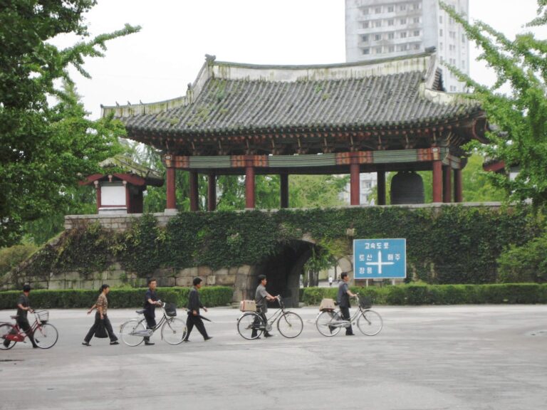
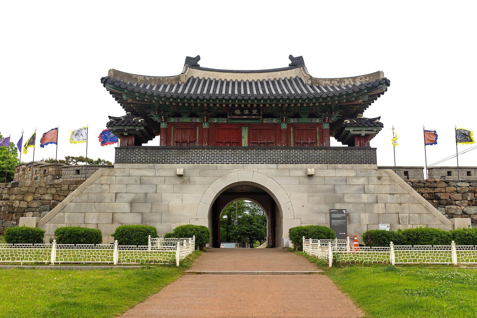
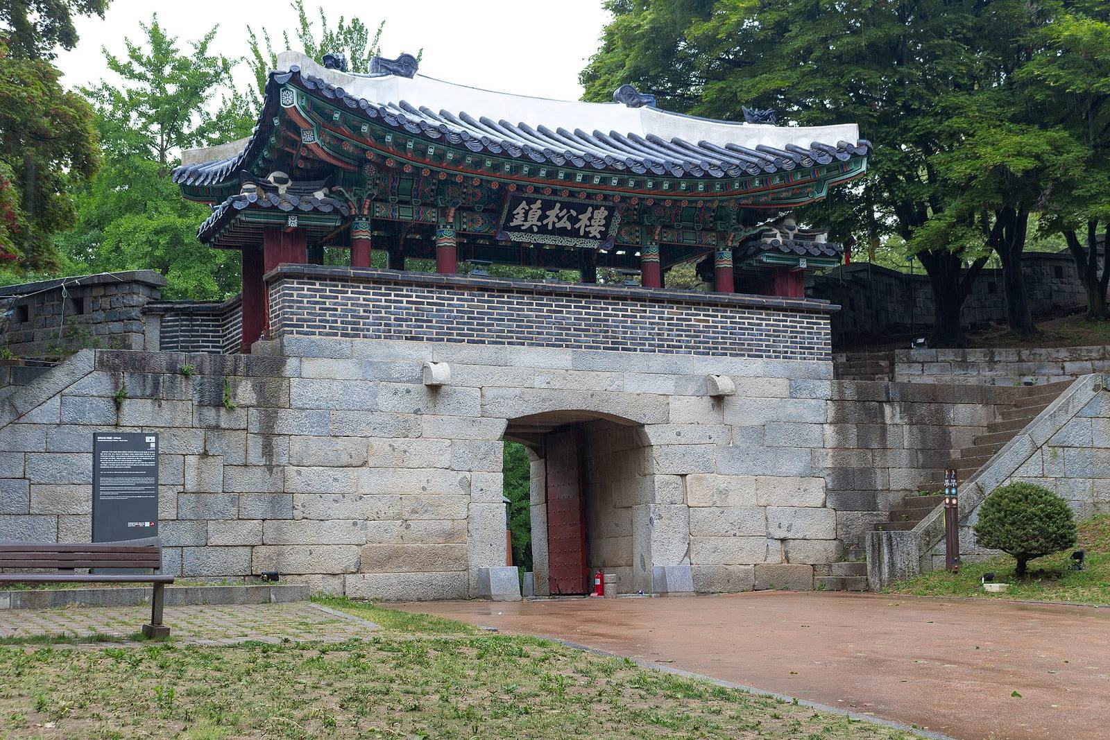
Also known as Ganghwaeupseong Walled Town, the inner fortress was planned with reference to Manwoltae, the palace complex at Kaesong. Its palace buildings were smaller but included rooms with similar functions. The inner wall extended about 1,200 metres and had four principal gates, four concealed gates, and two water gates. Its principal gates are Anparu, Jinsongru, Cheomhwaru, and Manghanru. Part of the area between the eastern and southern gates is now occupied by central Ganghwa town.
Anparu, the South Gate
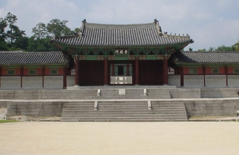
Anparu was built in 1711, collapsed in heavy rain in 1955, and was restored in 1975. Its two-storey pavilion has three bays across the front and two along each side, panel doors, and a hip-and-gable roof. The gate measures 20 metres long and 5 metres high. Restored sections of stone wall extend from it on both the mountain and road sides; part of the mountain-side wall was restored without its parapet, the protective wall along a rampart.
Jinsongru, the North Gate
Jinsongru was restored in 1976. The gate is 11 metres across, and its entrance measures 2.9 by 2.5 metres. Restored wall sections extend 42 metres toward Bukjangdae and 50 metres toward the west gate. The gatehouse dates to King Jeongjo’s reign. Its open sides suggest it served observation more than defense. The present structure uses precast concrete and has a hipped roof; it is smaller than the other gates.
Other Gates, Towers, and Pavilion
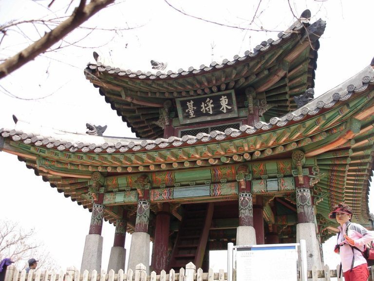
An east gate was built in 2011. Three watchtowers, Namjangdae, Bukjangdae, and Seojangdae, originally stood at the fortress; Namjangdae was rebuilt in 2010. Near the west gate, Yeonmudang was formerly a military training area. A memorial relating to the 1876 treaty stands at the site.
Middle Wall
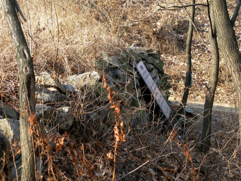
The middle wall formed an earthen defense around the inner palace, facing the eastern coast. A surviving 11.39-kilometre trace curves in a C shape. The wall is described as having eight gates, while the surviving line is thought to have included 17 openings of different sizes. Its construction followed the terrain: where needed, workers flattened bedrock, covered it with clay, and laid stones above. Foundation stones set about four metres apart supported pillars linked by wooden planks about 20 centimetres wide, forming frames roughly 4 by 4.5 metres. Compacted earth filled the frames, and some sections were topped with tiles. Surviving portions retain this Goryeo-period building method.
Outer Wall
The outer wall originally ran about 23 kilometres along the island’s eastern coast. Its final form was about 6 metres high and 1.5 metres wide, built with large stones topped by stone bricks. A later rebuilding combined a stone front with an earthen rear. The wall had six principal gates, six concealed gates, and 17 sluice gates, which controlled the passage of water. Chojijin Fortress stands at one end of its length. Excavations have provided evidence about the methods used to build the fortress walls.