Furumiya Castle: A Takeda Stronghold in the Tsukude Basin
Site at a Glance
- Country
- Japan
- Primary era
- Early Modern
- Eras represented
- Early Modern
- Civilizations
- Takeda
- Site type
- Military
- Remains
- Castle
On this page9 sections
History
Furumiya Castle is a mountain stronghold built by the Takeda in 1571 in the Tsukude Basin of northeastern Mikawa, a historical province in what is now eastern Aichi, Japan. Its position near intersecting routes made it a strategic point, possibly supporting Takeda operations against Tokugawa Ieyasu and observation of the Okudaira clan after it submitted to the Takeda.
Construction and Takeda control
Tradition credits Takeda Shingen, a powerful lord of the Takeda clan, with ordering the castle’s construction. Baba Nobuharu is named as its builder, while Yamagata Masakage is also identified as a possibility; both were Takeda military commanders. The garrison may have included Obata Matabei, possibly Masamori; Amari Saemon, a title associated with the Left Gate Guards, possibly Nobuyasu; and Ōkuma Bizen-no-kami, an honorific title linked to provincial governorships, possibly Tomohide. An Amari retainer may also have served as the castle’s lord.
A shrine stood on the hill before the castle was built, and tradition attributes its establishment to a wealthy local notable. It may have stopped functioning as a place of worship during the fighting of 1573.
Defection and uncertain later use
In 1573, after Shingen’s death, Okudaira Sadayoshi and his son Sadamasa left the Takeda and joined Tokugawa Ieyasu. The castle’s part in the fighting that followed is uncertain. It may have been abandoned that year, although Takeda control of the area had ended by the clan’s defeat at Nagashino in 1575.
The castle may have been dismantled around 1582. Tokugawa forces may later have refurbished it in 1584, in preparation for an attack by the Toyotomi, the political house led by warlord Toyotomi Hideyoshi. This was during the Komaki-Nagakute campaign, a conflict between Tokugawa and Toyotomi forces.
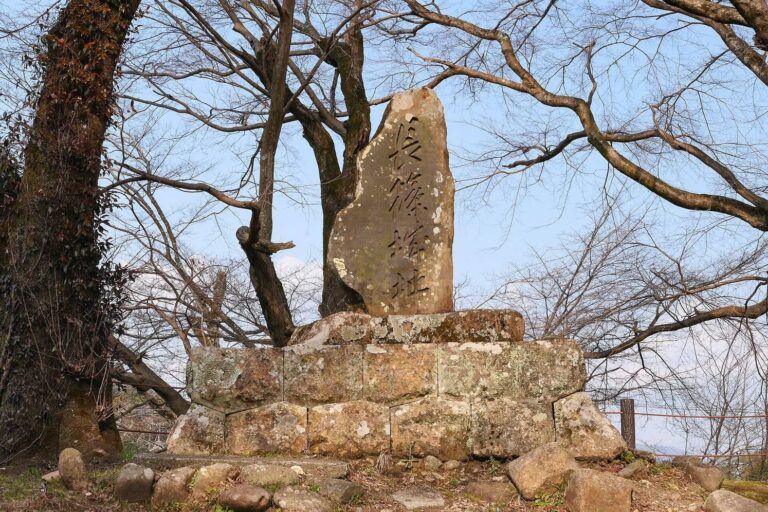
Furumiya Castle’s ruins were selected for the Continued Top 100 Japanese Castles in 2017 and designated a historic site by Shinshiro City in 2018.
Remains
Hilltop layout and earthworks
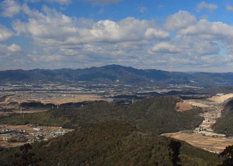
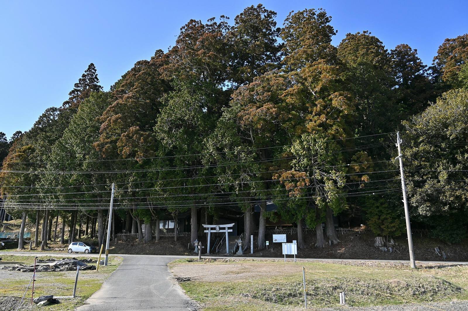
The castle occupies an isolated hill in the center of the Tsukude Basin, about 580 m above sea level and 25–30 m above the surrounding ground. The basin floor was formerly wetland and paddy land; paddies remain after drainage. A nearby mountain lies west of the hill, across the Tsukude road. The castle covered roughly 200–250 m by 150–200 m. A large ditch cut across the hill divides it into western and eastern sections, linked by an earthen bridge. The western section formed a defensive approach to the higher eastern section, where the main residential areas were located.
Western defensive section
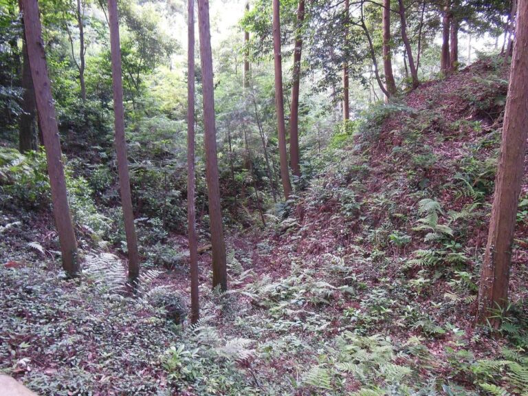
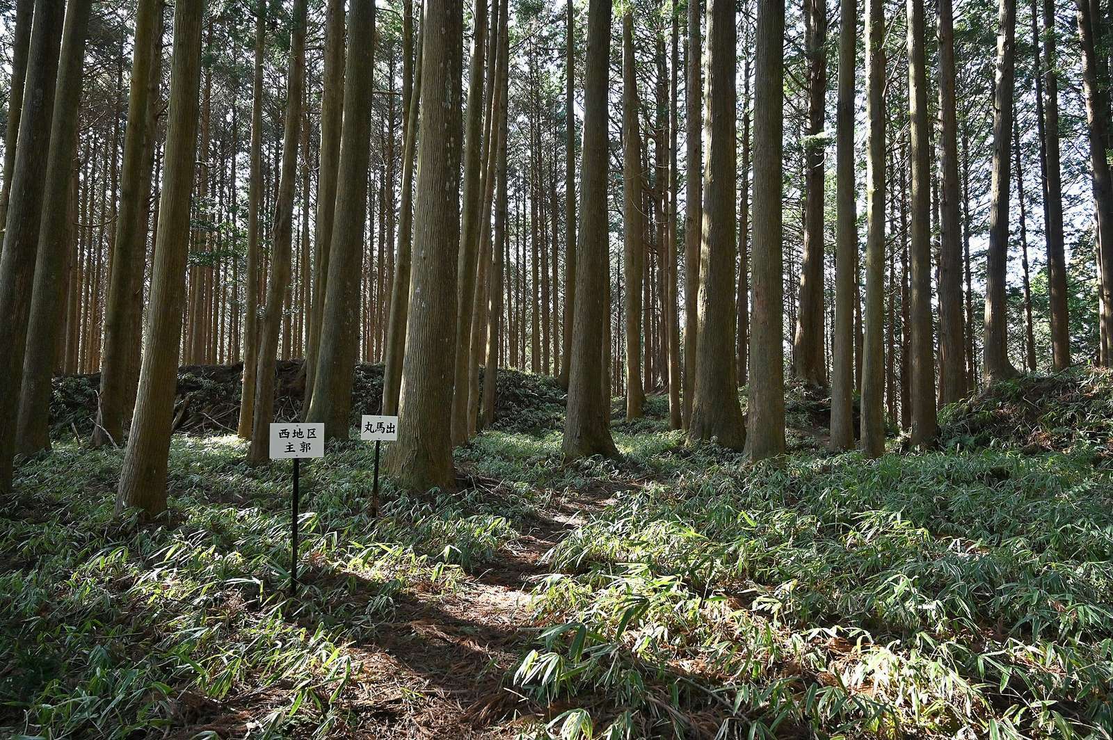
A moat following the slope’s contours, with an earthen bank inside it, runs around the western section. The bank was intended to prevent attackers from moving along the moat. At the southwest corner, a gate within a square entrance enclosure, which forced those entering to turn, is thought to have been the main entrance. A high enclosure within this section is divided by a north-south earthen bank and surrounded on three sides by a contour-following moat. Two gates in square entrance enclosures on its eastern side, along with an earthen bridge, connected it to the eastern hill. This arrangement is understood as a fortified outer position protecting a gate.
Eastern residential section
Several residential enclosures occupy the eastern section. The highest flat area forms the main enclosure, about 50 m square, defined and divided by earthen banks. On its southern side is a suspected base for a defensive tower. East of this platform, a gate within a square entrance enclosure led into the main enclosure. Terraced enclosures along its eastern side are thought to have housed warriors.
Northeastern slope
Four or five small terraced enclosures descend the northeastern slope and may have served as quarters or living areas for soldiers. At their southern end, vertical moats, which descend the slope, and a steep cut slope enclose an area interpreted as a possible place of confinement for prisoners.
Approaches and surviving fabric
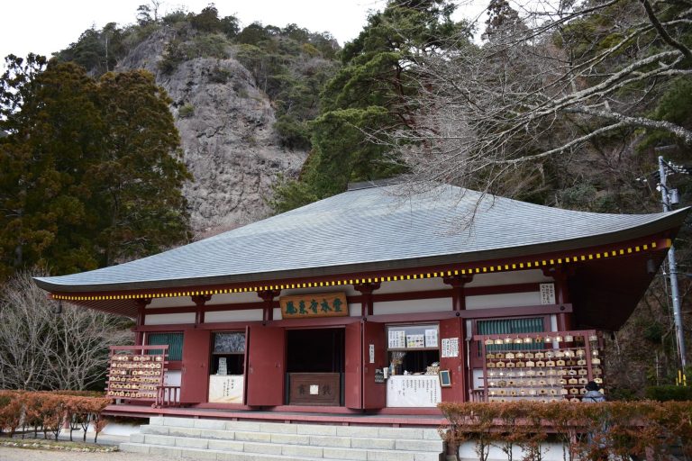
The principal approach from the Tsukude road entered from the west. The narrow routes and moat bottoms exposed people moving inward to defenders above, before the way continued through the western section and toward the eastern one along a single narrow route. The eastern entrance also used a gate set within a square enclosure. A path and stairway from Shiratori Shrine lead toward the main enclosure, while the direct connection from the shrine into the eastern section is a later alteration made after the castle was abandoned. Shiratori Shrine occupies the southern part of the site; woodland covers much of the rest. Earthen banks, enclosures, moats, and other earthworks survive with relatively little damage, preserving evidence of Takeda-period castle construction.