Fukuoka Castle: A Japanese Hill-and-Plain Fortress
Site at a Glance
- Country
- Japan
- Primary era
- Early Modern
- Eras represented
- Medieval, Early Modern
- Civilizations
- Tokugawa
- Site type
- Military
- Remains
- Castle
On this page21 sections
History
Foundation and construction
Fukuoka Castle is a Japanese hill-and-plain fortress in central Fukuoka, Japan, built for Kuroda Nagamasa between 1601 and 1607. After Tokugawa victory at the Battle of Sekigahara in 1600, Nagamasa received Chikuzen Province, valued at 523,000 koku, a traditional measure of rice yield, in exchange for six counties in Buzen. He established his headquarters at Najima Castle with his father, Kuroda Yoshitaka, also known as Josui. Fukuoka Castle later served as the seat of the Kuroda lords of Fukuoka Domain.
Najima Castle had been built by Tachibana Akitoshi and enlarged by Kobayakawa Takakage, but its restricted peninsula setting was considered unsuitable as the administrative centre of Nagamasa’s new territory. The sea, a river and hills constrained the site, which also lay far from Hakata’s commercial district. Nagamasa and Yoshitaka considered several alternatives, including Sumiyoshi, Hakozaki, Aratsu-yama and Fukuzaki. They chose Fukuzaki for its proximity to Hakata, useful harbour and suitability for a planned castle town.
Nagamasa is generally credited with devising the plan. Yoshitaka brought experience in fortification building, while stonemason Noguchi Sasuke Kazushige directed the stonework. Merchants Kamiya Sotan and Shimai Soshitsu provided financial support. Katō Kiyomasa, the neighbouring lord of Kumamoto, praised the castle’s scale. After its construction, Fukuzaki was renamed Fukuoka in memory of the Kuroda family’s ancestral home in Bizen Province, in what is now Setouchi, Okayama. Fukuoka also became the name of the modern city and prefecture. The castle was additionally called Maizuru Castle and Seki Castle.
Seat of the Fukuoka lords
The castle remained the residence and governing centre of the Kuroda lords through the Edo period, which lasted from 1603 to 1868. Repairs and additions included work on residences in the Second and Third Baileys. A major renovation took place during the Bakumatsu, the final years of Tokugawa rule, under the eleventh lord, Kuroda Nagahiro, during the Kaei and Man’en eras.
Whether Fukuoka had a main keep remains disputed. Its large stone foundation, along with old maps and documents, has been interpreted as evidence that a keep or an attached structure may have stood there; the prevailing view is that no keep was built. A letter from Hosokawa Tadaoki to his son Tadatoshi, dated 1620, says that Fukuoka’s keep and residence had been dismantled. One proposed explanation is that Nagamasa destroyed records referring to a keep because the word could also mean the Christian God, but this remains a theory rather than an established account.
Defences and changes to the landscape
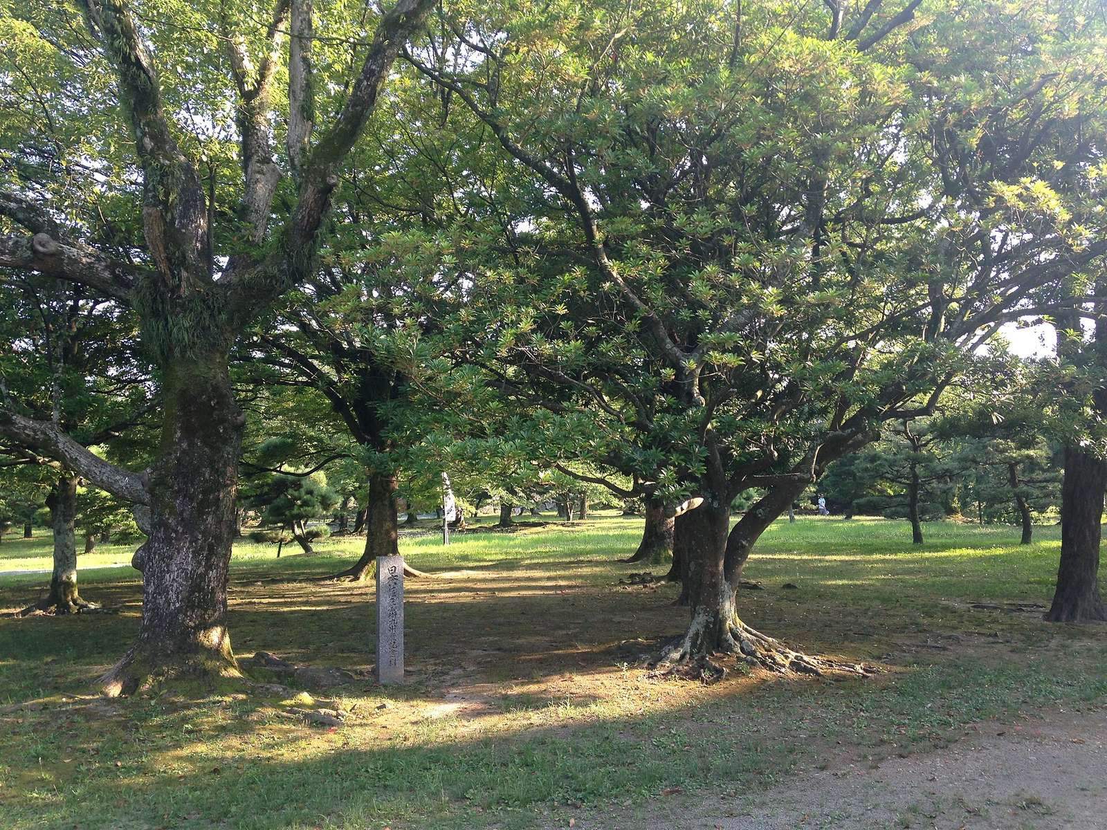
In 1615, pines were planted on the castle’s earthen embankments. They served as visual screens and windbreaks and helped limit landslides. The trees could also supply torches, construction material and emergency food.
The Ohori moat was formed from an inlet that had been reclaimed and dredged. By the middle of the seventeenth century, sediment had filled part of it. During the Enpō era (1673–1681), drained land was converted to rice fields and the Odote embankment was built along the shore. The Komo River was redirected west of the embankment so that it would carry silt out to sea.
In 1863, amid fears of foreign invasion, two large and seven smaller batteries were built along the outer castle’s shoreline. Further batteries were constructed around Hakata Bay.
From domain residence to historic site
The abolition of the domain system in 1871 ended the castle’s use as the residence of a daimyo, a major feudal lord. Buildings were demolished or moved. Under the 1873 Abolition of Castles order, the grounds were assigned to the military. The former lord’s residence, O-shita-no-yashiki, housed the Fukuoka Prefectural Government until it moved in 1876, after which the residence was demolished. The site continued as a military complex until 1945 and was subsequently occupied by U.S. forces.
A gunpowder explosion beneath the Ironware Turret caused it to burn down in 1902. During the 1945 Fukuoka air raid, the Hon-maru Armaments Turret, which had been moved to a Kuroda family villa, was destroyed. The Kinen Turret was transferred to Taishō-ji Temple in 1920 and returned to the castle site in 1983. In 2000, arson damaged part of the Shimo-no-hashi Gate, which was later reconstructed.
The ruins became a National Historic Site on 29 August 1957. The Minami-no-maru Tamon Turret and its adjoining south-corner turret are designated together as one Important Cultural Property. Other prefectural cultural properties include the Shiomi Turret, Shimo-no-hashi Gate, Kinen Turret, main gate and former Mori Tahei residence gate; the Najima Gate is designated by Fukuoka City. Archaeological and geological study, alongside old documents, has informed research into the construction of the castle. A restoration and improvement programme began in 2013. Repairs to the Minami-no-maru Tamon Turret followed in 2016, restoration of the lost wall south of the Second Bailey Palace was underway by 2021, the fan-shaped slope stairs were reconstructed in 2024, and the Shiomi Turret was reconstructed on site in 2025.
Remains
Fukuoka Castle occupied Fukusaki Hill, between the Naka River to the east and a mudflat to the west. Hakata lay across the river, while the castle town extended north towards the sea. The fortress combined elevated ground with the adjoining plain, arranging its principal enclosures in successive defensive levels. Its planned area was about 240,000 square metres, and it had 47 turrets and 10 gates. A continuous moat enclosed the inner castle, which measured about 1,000 metres from east to west and 700 metres from north to south.
Construction reshaped the surrounding terrain. Hills south of the castle were lowered to create a moat and gentler slopes, and a hillock northwest of the inner castle was levelled because it stood higher than the main enclosure. Yoshitaka’s retirement residence was established on that hillock. An inlet west of the inner castle was divided between the Ohori moat to the south and reclaimed town land to the north. The Hii River was diverted west, and two straight moats were dug towards the meeting point of the Shiju and Naka rivers. Stone for the castle came from Nokonoshima, Itoshima, Sawara, Kashii and the Noma–Teratsuka area. The builders also reused material from Najima Castle, the Genkō defensive wall and burial mounds around Hirao village and Hirao-yama.
Principal enclosures
Hon-maru, the main enclosure
The Hon-maru lay south of the inner castle and measured 125 metres from east to west by 230 metres from north to south. The irregular outline of its stone walls gave it the shape of a shortened cross. Rectangular projections on its northern side and recessed corners to the south created positions for flanking fire. Foundations for the small, medium and large keeps, together with a rectangular keep enclosure, divided the area into northern and southern parts. The southern portion was the most heavily fortified and designed as a final defensive position.
The foundation for the large keep measures about 24.8 by 22.4 metres. Its top stands 36.3 metres above sea level, compared with 23 metres at the centre of the Hon-maru. The lord’s residence stood north of this foundation and served the Kuroda lords until Kuroda Tadayuki, Nagamasa’s successor, built a new residence in the Third Bailey. Its audience chamber covered 56 tatami, traditional floor mats used to measure room area, equivalent to 109 square metres in the Chikuzen measure. An adjoining Buddha Room hosted regular meetings where senior retainers could express their views freely.
Several Shinto shrines occupied the main enclosure. Niyakuichioji Shrine, a branch of Kego Shrine dedicated to three war deities, stood west of the large-keep foundation. Seisho-Gongen Shrine was established east of it in 1768 in honour of Nagamasa; Suikyo-Gongen Shrine was added in the same building in 1773 to honour Yoshitaka. The shrines were later combined at a new site on Arato Hill in Nishi-koen Park as Terumo Shrine.
Second Bailey and its connected enclosures
The elongated, L-shaped Ni-no-kuruwa was an enclosed defensive area about 310 metres long from north to south, at an elevation of 17 to 18 metres above sea level. It defended the approaches to the Hon-maru and controlled access to its gates. South of Kirinoki-zaka Gate, a concealed enclosure provided a position for an ambush. Maps show several turrets and a possible stable for tethered horses in the area.
The rectangular Second Bailey measured 135 metres from east to west and 150 metres from north to south, at an elevation of 15 to 17 metres. An early-seventeenth-century map depicts a residence enclosed by turrets, walls and long buildings. Later plans and records indicate that the compound served at different times as a residence for the lord’s heir and for other members of the ruling family.
The rectangular South Bailey, about 70 by 110 metres, defended the southern approach. Its foundation top stood more than 20 metres above sea level. The enclosure was also positioned to conceal an ambush against attackers heading towards the Hon-maru, and included a residence for the deputy castellan.
East of the Hon-maru, the Mizunote measured about 120 metres from east to west and 160 metres from north to south. It contained a well or drinking-water reservoir, whose catchment could also serve as a defensive moat during a siege. An L-shaped belt enclosure ran along the sides of the Hon-maru and Second Bailey, allowing defenders to fire from different levels. A description of the provinces of Chikuzen, Chikugo, Hizen and Higo also places a flower garden enclosed by bamboo south of the reservoir.
Third Bailey
The Third Bailey, also called the Third Enclosure, covered much of the inner castle. Matsunoki-zaka approach, Takayashiki and intervening stone walls divided it into eastern and western areas. The western ground stood 5 to 6 metres above sea level. To the east, the ground was 2 to 3 metres higher along a mound line that reached elevations of 8 to 17 metres; Takayashiki stood about 13 metres high.
Senior retainers’ residences occupied the eastern area along the inner castle’s northern moat, extending from its eastern edge to the Lower Bridge gate. Another residence stood east of the Second Bailey. The western area first contained the Daikancho residential quarter. Later plans show five senior-retainer residences there and a lord’s residence west of the stone wall between the Matsunoki-zaka and Kirinoki-zaka approaches.
O-shita-no-yashiki and adjoining grounds
Built in 1671 west of Takayashiki, O-shita-no-yashiki became the lord’s residence. The compound included an audience chamber, living quarters, studies, a lesson room, offices for secretaries and records, a finance office, anterooms for senior retainers and five commissioners, and apartments for court women. Its service buildings included a kitchen, granary, charcoal store, archive and treasury. The grounds also had a Noh stage for classical Japanese musical drama and at least 15 wells.
North of the residence were the Kita-no-maru annex, where the lord’s mistresses lived, a firewood store, the treasurer’s residence, treasure houses, a woodworking shop and a flower garden. South of it, former retainer residences gave way to a Goyo-yashiki, possibly housing for government officials, and then a riding ground in 1771. The hawkers’ office moved beside the riding ground in 1811. At Uemono, opposite Oimawashi gate, many carved seals on the wall stones are understood to identify the senior-retainer groups associated with the quarries that supplied the stone.
Mounds, walls and inner moats
Inner-castle mounds and stonework
The inner-castle mound rose about 8 metres beside the Ohori moat, 12 metres on the east, 17 metres at the southeast corner of the Mizunote and about 16 metres above sea level west of the Hon-maru. The northern mound is damaged, and its former height is estimated at about 10 metres above sea level. Except on the south, lower sections were generally faced with stone, and some of these retaining walls remain visible. Walls around gates reached about 10 metres high.
On the east and west, the mound lines alternated between projections and recesses, allowing defenders to fire along the walls. The southern defensive line used a large zigzag plan with alternating outward and inward angles. Wide roads through the Third Bailey, especially between the Upper and Lower Bridge gates, enabled troops to move quickly towards threatened parts of the castle.
Moat system
The moat varied in width, measuring about 15 metres southeast of the castle, 45 metres to the south and an average of 70 metres to the north. The Ohori moat was about 600 metres wide before later reductions. In its original form, it was more than 5.9 metres deep in the centre and more than 2 metres deep at the sides. Its present extent is substantially smaller following the seventeenth-century drainage and reclamation.
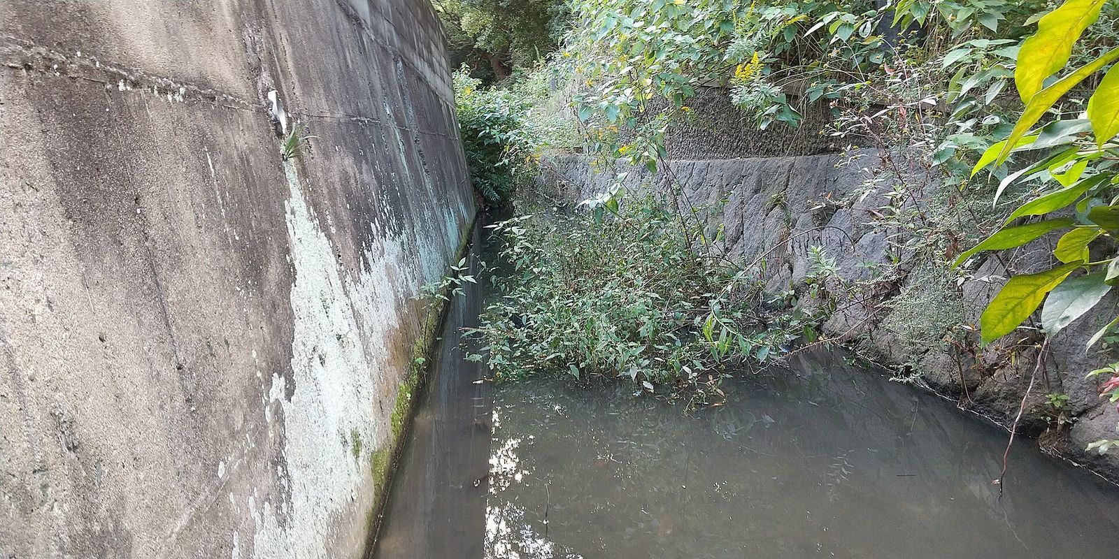
Six moat sections are identified north of the castle: five running in sequence from east to west and another to the southwest. Their approximate lengths are 85, 75, 490, 25, 250 and 80 metres. Some northern, southern and eastern sections have been partly filled; surviving stretches in the east and south are watercourses about one metre wide, with lotus and water lilies growing on the water.
Outer defences and castle town
Eastern entrance and river defences
The outer castle included the town and its defensive works, extending about 3 kilometres from east to west. Its boundaries were defined by the Naka River, the Hizen and Naka moats, the inner castle, the Tojin-machi-guchi moat and the sea. Along the Naka River, eastern stone walls were about 10 metres high and more than 700 metres long.
At the Nakajima-nishi Bridge entrance, the Higashi-toriire Gate had north and south gatehouses and a turret grouped around an enclosed forecourt. A Catholic church apparently stood inside the walls near the gate and may have commemorated Yoshitaka. Hakata and the artificial island of Nakajima were positioned to help protect this entrance. Hakata had defensive works before Fukuoka Castle was built. Its defences probably began during the Mongol invasions of the late thirteenth century; in the sixteenth century, the Hie River was diverted and moats dug south of the town. The Ishido and Tsujinodo gates stood beyond the outer boundary but were treated as castle gates.
Southern and western lines
The southern outer defences combined the inner castle with two straight moats and mound lines extending about 1,200 metres in total. From west to east, the gates were Akasaka, Yakui and Kazuma, also known as Haruyoshi. The Naka moat measured about 60 to 110 metres wide, while the Hizen moat measured about 60 to 80 metres. Nabeshima Naoshige, lord of Hizen, helped with the Hizen moat. In exchange, Nagamasa sent workers to Hizen to dig a moat near Saga Castle.
To the west, the Tojin-machi-kuchi, or Yana, moat was about 17 to 35 metres wide. The Pine Mound followed its eastern bank, while the Cedar Mound continued along the Ohori moat from the southern end of the Pine Mound. The single-storey Kuro Gate formed part of the Pine Mound’s defensive line and did not use an enclosed gate forecourt. At the northern end of the moat, a weir retained seawater and fish. The Yakui River formed another defensive line south of the outer castle and helped limit the movement of silt from the southern hills into the moats. A bridge to the Kazuma gate entrance was built at an angle in 1678 to obstruct a direct attack. The Komo and Hii rivers provided further barriers to the west.
Town layout
The castle town lay north of the castle, facing Hakata Bay. Many streets followed T-shaped or L-shaped plans, while routes to the Higashi-toriire and Kuro gates curved. Buddhist temples were placed at strategic points within and around the town, forming part of its defensive arrangement.
Surviving structures and earlier remains
Turrets, gates and relocated buildings
Earthen mounds and much of the inner castle’s stonework survive. Sections of wall south of the East Second Bailey, around the Matsunoki-zaka and Oimawashi entrances, and along some moat revetments have been damaged or lost. Much of the outer castle’s stonework, mounds and buildings was removed after the Meiji Restoration. Wall sections remain south of the Higashi-toriire Gate and at the northern battery near the Naka River estuary.
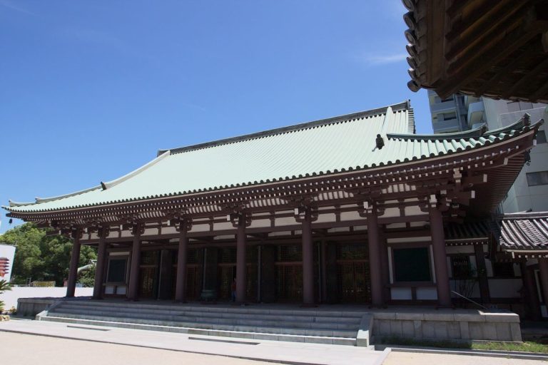
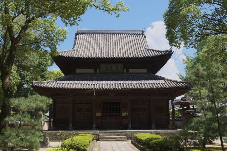
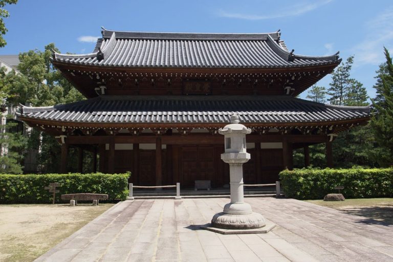
The Minami-no-maru Tamon Turret, completed in 1854, stands on the west wall of the South Bailey. Its adjoining south-corner turret is treated as part of the same building. The Shimo-no-hashi Gate survives with its second storey gone; its first storey has been reconstructed. The Hon-maru main gate is now at Sofuku-ji Temple. The Hanami Turret, formerly at the inner castle’s southwest corner, and the Shiomi Turret, formerly at its northwest corner, were also moved to that temple. The Shiomi Turret was reconstructed at the castle in 2025. The Kinen Turret has returned to its original position. The Inosuke, or Former Clock, Turret was moved from the west wall of the Hon-maru to a Kuroda family residence, then to the Lower Bridge entrance.
Some turret identifications remain uncertain. The Kinen Turret’s exterior conflicts with documentary evidence, including an old photograph. The Inosuke Turret was long identified as the Shiomi Turret, which was itself once thought to be the Moon-Viewing Turret. The former Mori Tahei residence gate and the Najima Gate were brought into the castle grounds from elsewhere. A north-corner turret adjoining the Tamon Turret has also been reconstructed.
Heian-period guesthouse
Beneath the castle grounds are the remains of the Kōrokan, a Heian-period diplomatic guesthouse that also served as an important geographical checkpoint. Discovered in 1987, these are the only remains of the Kōrokan found in Japan.