Fort of Alqueidão: A Command Post in the Lines of Torres Vedras
Site at a Glance
- Popularity
- Low
- Country
- Portugal
- Primary era
- Modern
- Eras represented
- Modern
- Civilizations
- British, Portuguese
- Site type
- Military
- Remains
- Fort
On this page5 sections
History
The Fort of Alqueidão stands on the Monte Agraço range, about two kilometres south of Sobral de Monte Agraço in Portugal. Built in 1809–10, it was one of the earliest and largest works in the first defensive line of the Lines of Torres Vedras. The Lines were built during the Peninsular War, the conflict in Iberia between Napoleonic France and the allied forces of Britain, Portugal, and Spain. Alqueidão helped protect Lisbon and became the Lines’ command post.
Invasion and construction
Portugal’s defensive preparations followed the Treaty of Fontainebleau, signed in October 1807, which provided for a French and Spanish invasion and the division of Portugal into three kingdoms. French troops under General Junot occupied Lisbon, and Portugal sought British support. British forces led by Arthur Wellesley, later the Duke of Wellington, landed in July 1808 and defeated the French at Roliça and Vimeiro. The Convention of Cintra led to the French army’s evacuation from Portugal.
On 20 October 1809, Wellington ordered a network of defences to protect Lisbon and provide a route for British troops to withdraw and re-embark if needed. Work at Alqueidão began the following month. Colonel Richard Fletcher, commander of the Royal Engineers, supervised the wider construction effort. By October 1810, 126 forts, redoubts, meaning small defensive fortifications, and other works extended along 80 kilometres, using the terrain and natural obstacles. Construction continued after the French withdrawal, and the network’s 152 works were completed in 1812.
The 1810 campaign
Alqueidão was work number 14, one of seven forts and redoubts in the second district of the first Line. Its commanding position made it the Lines’ command post; Wellington’s headquarters were nearby at Quinta dos Freixos in Pêro Negro. An optical telegraph, which sent messages through visible signals, connected Alqueidão with Fort Archeira south of Torres Vedras. From there, communications extended to Fort São Vicente north of the town and onward to the Atlantic coast.
In 1810, a force of about 65,000 under French Marshal André Masséna was defeated at Buçaco. The smaller Anglo-Portuguese army then withdrew to the Lines. Masséna’s troops gathered around Sobral de Monte Agraço, took the village, and attacked Alqueidão on 13–14 October, but failed to capture it. The fort had 1,590 Portuguese troops under British Brigadier-General Denis Pack. Its 24 cannon were thought to include fourteen 12-pounders, six 9-pounders, and four 6-pounders; these designations refer to the weight of the shot. The garrison also included two artillery companies from Sobral, formed and trained by William Beresford, a British general who held the rank of marshal in the Portuguese army. A stalemate lasted for several months. In March 1811, shortages of food and supplies prompted Masséna to withdraw towards the Spanish border.
Three nearby forts supported Alqueidão. Fort Simplício, number 16, lay a short distance south and had 300 troops, seven cannon, and a howitzer, an artillery piece designed to fire shells on a high trajectory. Its position allowed it to fire on French forces from behind if they broke through towards Lisbon. Fort Machado, number 17, lay to the southwest and could hold 460 soldiers; its guns comprised three 12-pounders, three 9-pounders, and one 6-pounder. Slightly north, Forte Novo, number 152, served as an advanced defence for Alqueidão, with 250 troops, four 12-pounders, and two 6-pounders. The forts could support one another with crossfire and were linked by a military road used to move people and goods.
Earlier occupation and archaeological work
Archaeological exploration from 2008 to 2011, carried out as part of restoration for the bicentenary of the Lines, revealed occupation of the site during the Iron Age, a prehistoric period associated with widespread use of iron tools and weapons. The investigations also advanced understanding of how the fort was built.
Remains
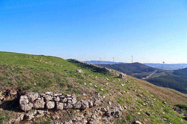
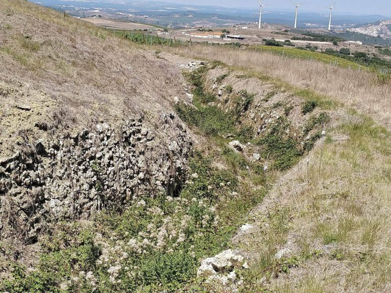
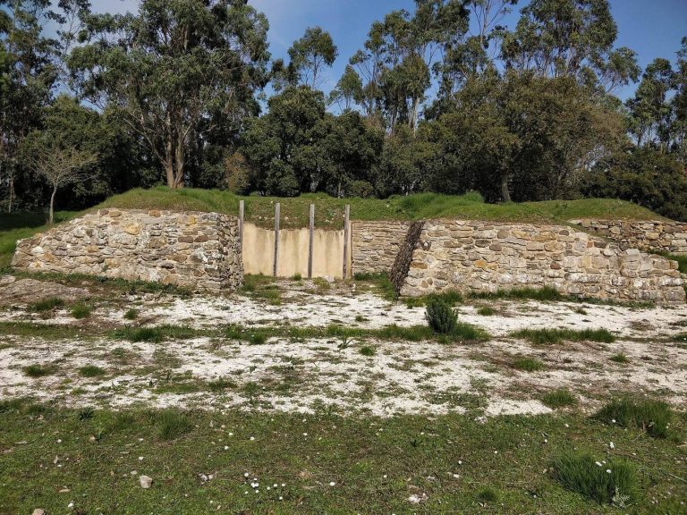
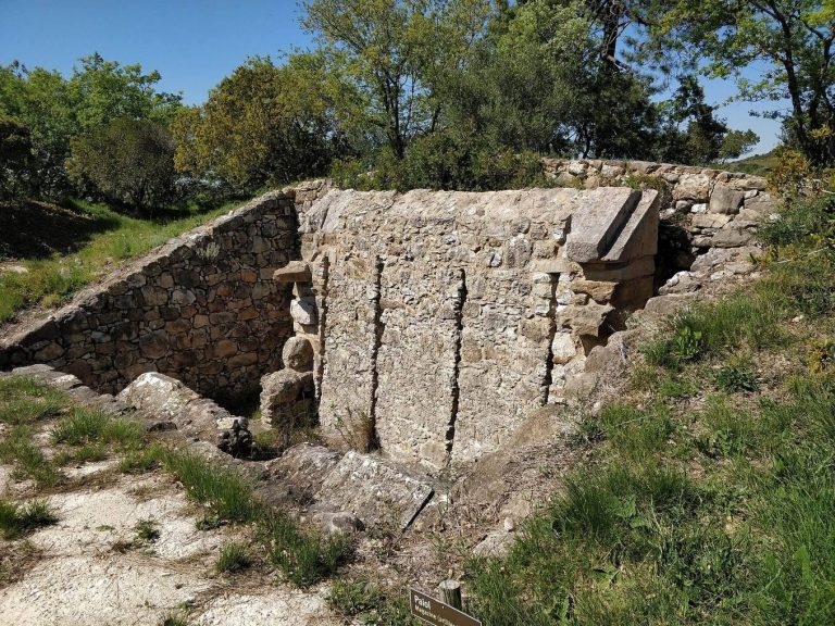
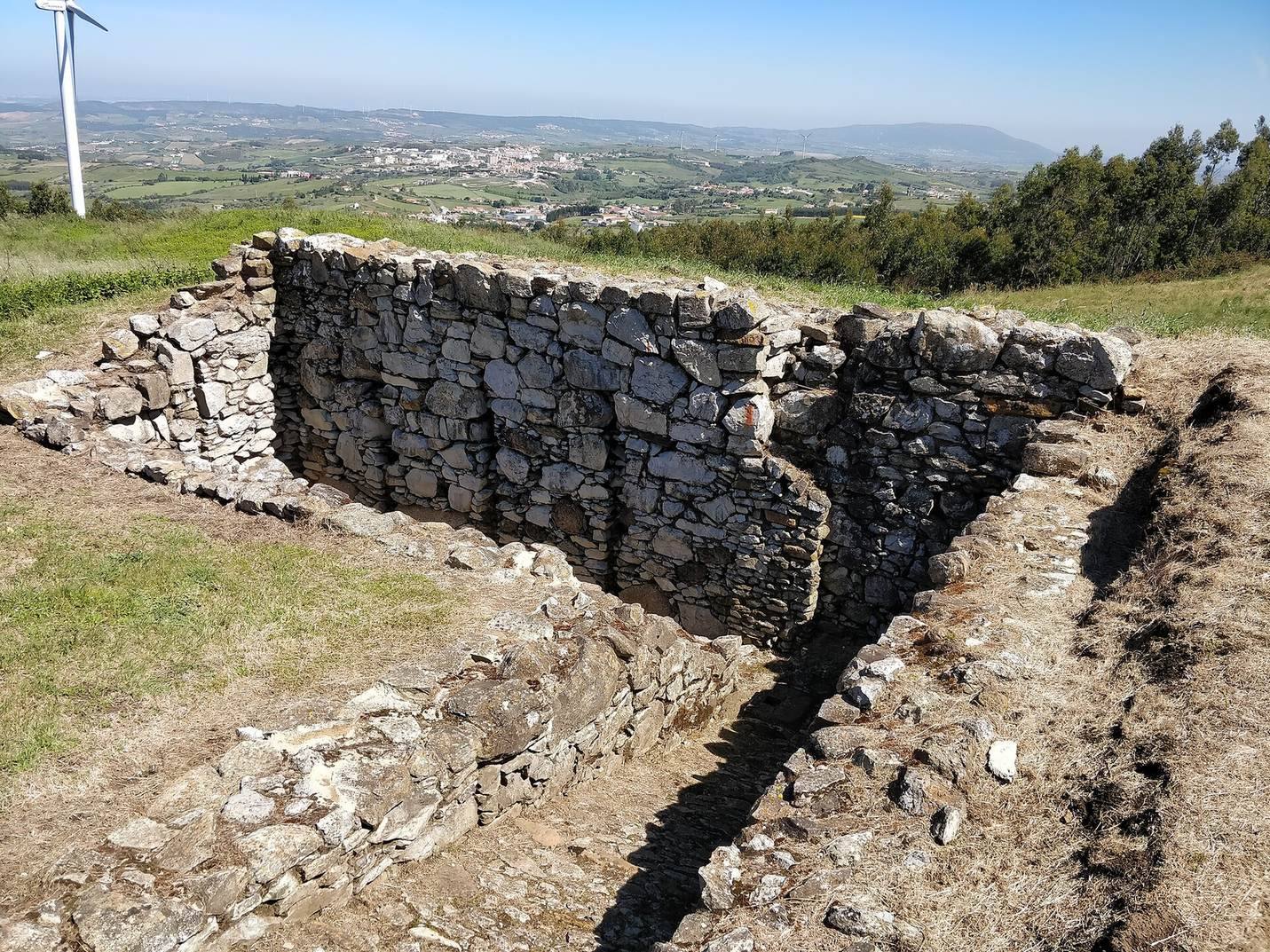
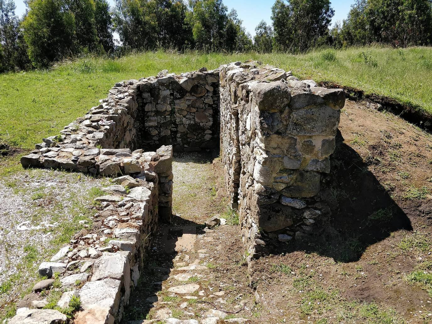
The fort occupies 3.5 hectares on the Monte Agraço range, at an elevation of 439 metres above sea level. It is classified as vernacular architecture, a building tradition shaped by local practices and materials, and is preserved and partly restored.
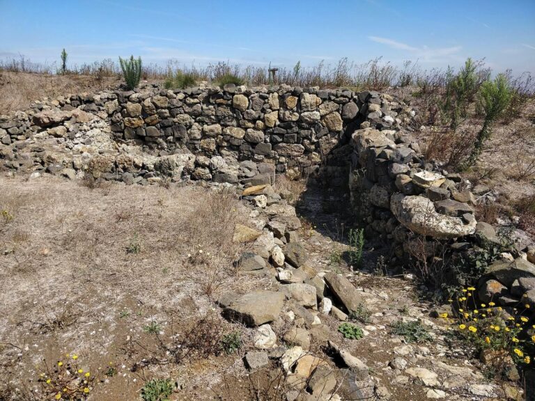
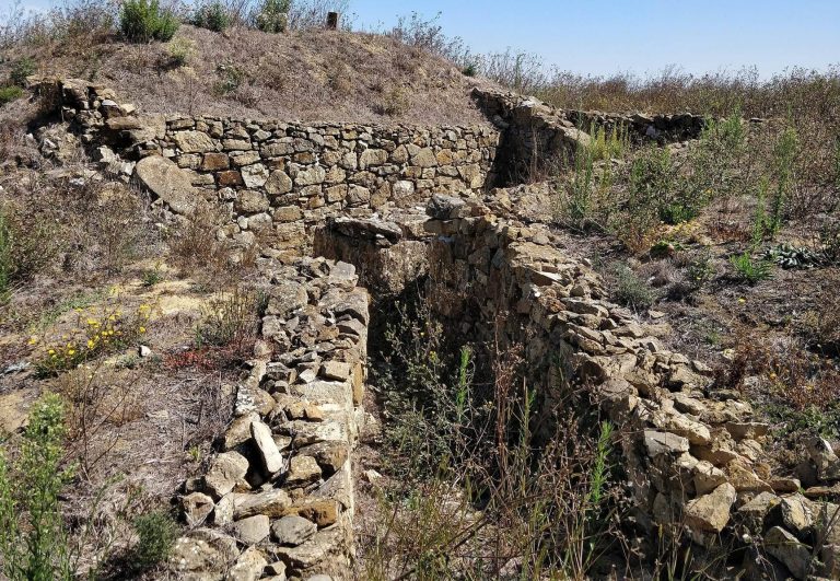
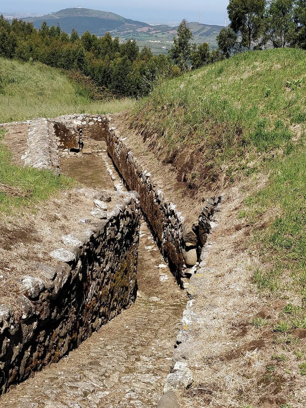
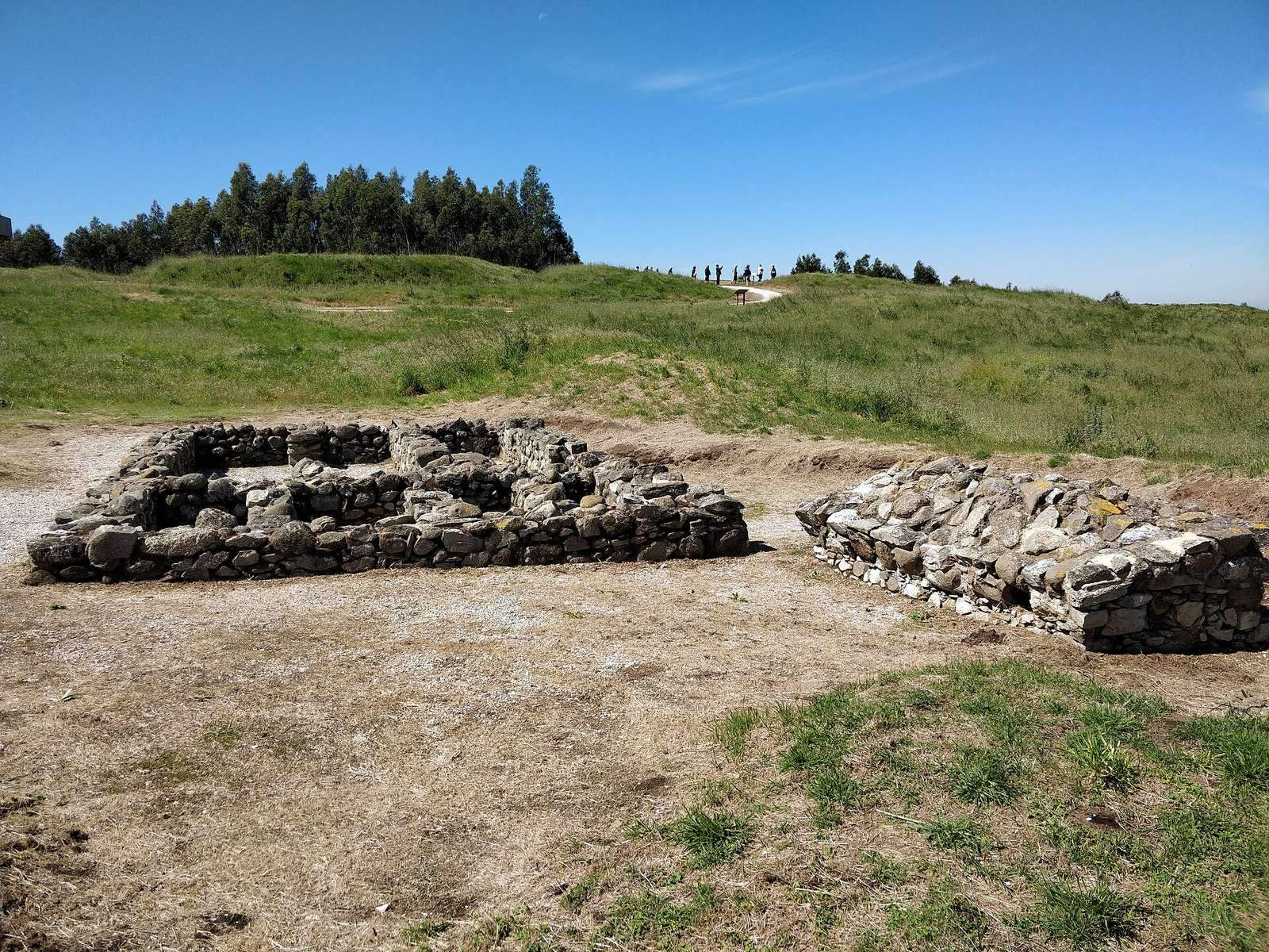
Remains of a powder magazine, a secure store for gunpowder, survive at the site. Excavations identified the positions of the governor’s quarters, a warehouse, a cistern, and armories for storing weapons. Restoration included tree removal and the construction of a concrete viewing platform from which other forts in the Lines can be seen.