Fort de Valros: A Medieval Fortress and Semaphore Telegraph Station in France

Site at a Glance
- Rating
- 4.7
- Popularity
- Very Low
- Country
- France
- Primary era
- Medieval
- External website
- Open
- Eras represented
- Medieval, Modern
- Civilizations
- French
- Site type
- Military
- Remains
- Castle
On this page6 sections
History
The medieval fortress
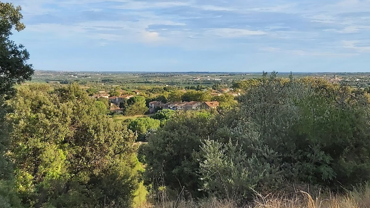
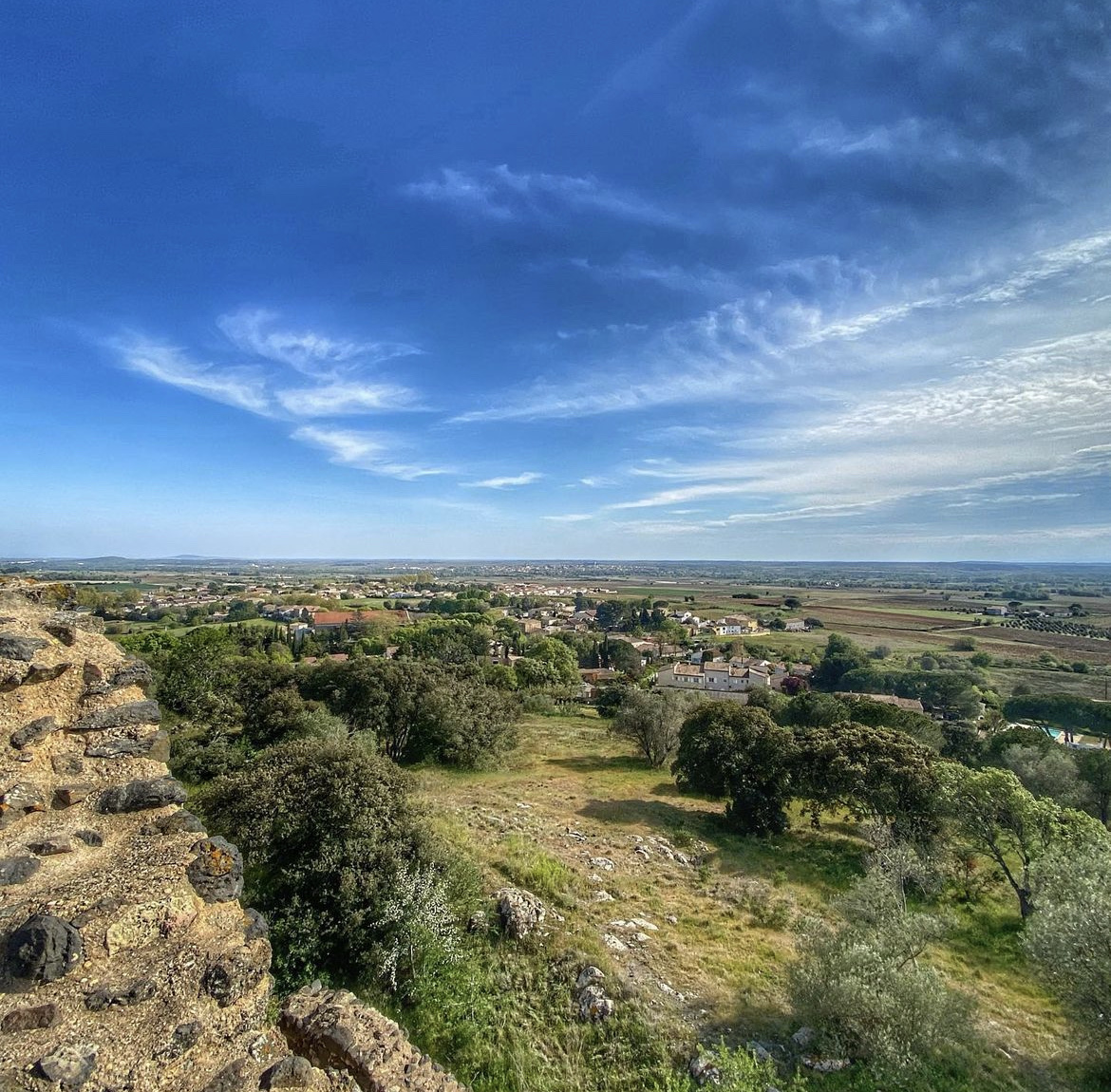
Fort de Valros, also known locally as Tour de Valros, is a ruined medieval fortress in Valros, France. Built as a small fortified place in the late twelfth century, it occupied a 100-metre-high promontory overlooking the Thongue valley and watching two long-established routes, from Béziers to Pézenas and from Saint-Thibéry to Alignan-du-Vent.
In 1199, Raymond Roger Trencavel, Viscount of Béziers, authorized his vassal Etienne de Servian to construct a forcia, meaning a fortified place or small fortress, on the promontory. The site formed part of the political and military landscape of the Languedoc, where territorial lords controlled strategic settlements and routes.
From 1210, during the Albigensian Crusade, a thirteenth-century campaign in southern France against Cathar communities and their supporters, Etienne de Servian was compelled to surrender under pressure from troops led by Simon de Montfort. The fortress consequently had a brief military existence. It was dismantled soon after its construction, during the first half of the thirteenth century.
Military groups continued to use the location after the dismantling, drawing water from its cistern, which remained supplied. Archaeological excavations also uncovered a necropolis used between the eighth and tenth centuries, providing evidence of activity on the promontory before the fortress was built.
The semaphore station
In the mid-nineteenth century, the former fortress was reused as a semaphore station. It stood on the aerial telegraph line linking Avignon and Narbonne, installed in 1834 and operated through Valros until 1853. The line belonged to a French network extending for more than 5,000 kilometres, with 534 stations serving 29 towns. Stations were usually placed on elevated ground at intervals of about 12 kilometres.
Semaphore telegraphy, developed by the French engineer Claude Chappe at the end of the eighteenth century, transmitted messages through the positions of movable arms mounted on a tall mast. The first semaphore line connected Paris and Lille in 1794. At Valros, the operator, called a stationnaire, watched neighbouring stations through telescopes and relayed their signals onward.
The system encoded messages through pairs of numbers. The first number identified a page, while the second indicated a line on that page. The mechanism offered 98 possible combinations, produced by seven positions for each of two secondary arms and two positions for the main arm. Six combinations served operational purposes, leaving 92 pages of 92 lines for coded messages. Electric telegraphy replaced the semaphore network in 1853.
Remains
Fortifications and water system
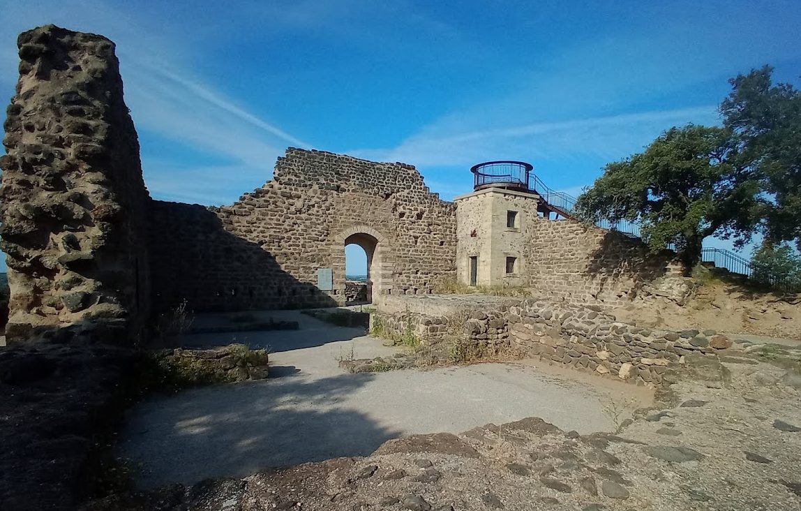
The fortress occupies the summit of the promontory above the Thongue valley. Its defenses were arranged in an outer and inner circuit. A dry moat surrounded the first fortified enclosure, known as the braie, which defined a peripheral defensive space called the lice. Removable posts laid horizontally could be installed when the outer circuit needed additional defense.
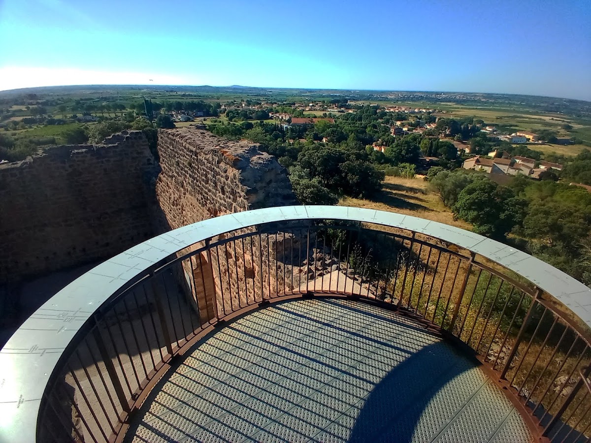
A break in the braie at the northeast corner marks the former position of the access bridge. A modern footbridge now crosses at this point. From the bridge, the shortest approach to the fortress entrance ran leftward along the wall, exposing an attacker’s right side, which was more vulnerable because it lacked the protection provided by armour.
The inner fortress forms a square measuring 24 metres on each side. Its enclosing wall is 1.80 metres thick, and the entrance is located on the south side. Above it stood a hourd, a projecting wooden platform from which defenders could fire or drop missiles onto people below. Holes for the platform’s supports remain visible in the masonry.
Lean-to buildings once occupied the interior. Their roofs directed rainwater towards a central cistern with an approximate capacity of 40 cubic metres. The cistern was built from limestone brought from Pézenas, and its continuing water supply helped preserve the site’s practical value after the fortress itself had been dismantled.
The surrounding wall rose to at least 11 metres and carried a wall-walk and crenellations. Projecting stones on the left side of the entrance indicate the former position of a staircase leading to the wall-walk. In the northeast corner, opposite the bridge, a collection of stored stones points to an unfinished plan to construct a keep.
Three principal materials shaped the fortress. Basalt excavated from the moat formed the cores of the surrounding walls, their upper sections, and the outer enclosure. Volcanic breccia, a conglomerate quarried on the eastern side of the hill, was used in wall sections above seven metres. Limestone from Pézenas was reserved for the cistern and entrance doorway.
Semaphore tower and mechanism
A small square telegraph tower occupies the southwest corner of the fortress and survives from the nineteenth-century semaphore installation. The tower housed the lower part of the operating system, while the signaling apparatus extended above the structure on a vertical mast.
The mast carried a movable main arm 4.60 metres long, called the regulateur, with a two-metre secondary arm, or indicateur, attached at each end. The main arm could be positioned horizontally or vertically. Each secondary arm moved through seven positions at intervals of 45 degrees, creating the combinations used to transmit coded information.
The mast continued down into a cramped operating room measuring three metres by three metres. There, the stationnaire observed incoming signals and directed their retransmission. Each station had one signaling mechanism and two telescopes, one for receiving messages and another for checking the signals as they were passed along the line.
Nearby sites