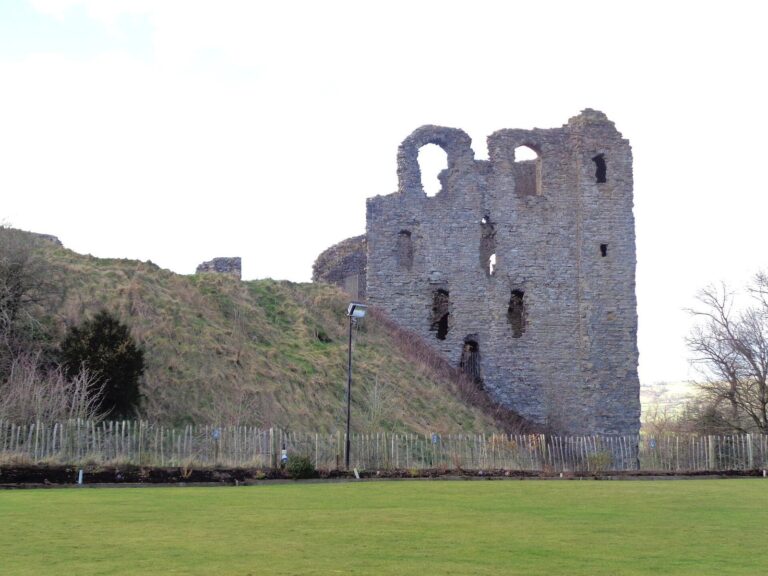
Ffridd Faldwyn: A Hillfort near Montgomery, Wales
Site at a Glance
- Popularity
- Low
- Country
- United Kingdom
- Primary era
- Iron Age
- Eras represented
- Iron Age
- Civilizations
- Unclassified
- Site type
- Military
- Remains
- Fort
On this page8 sections
History
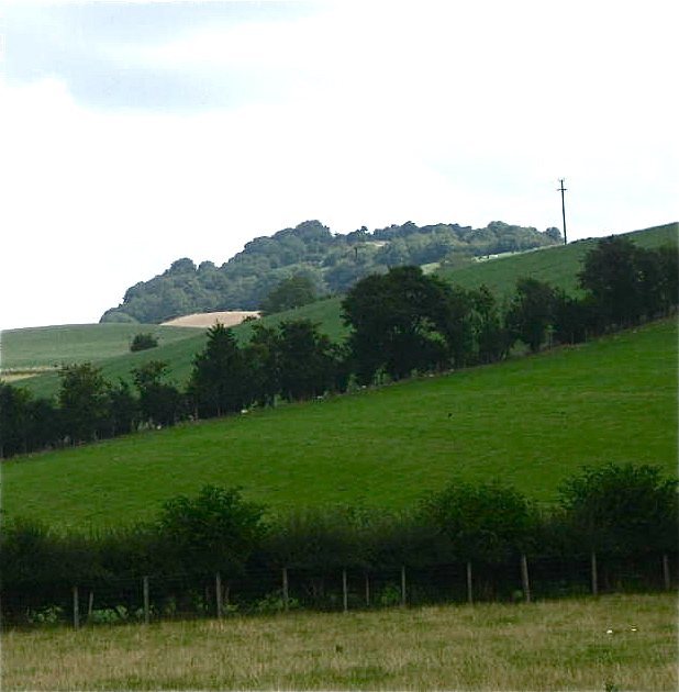
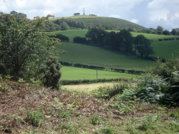
Ffridd Faldwyn is a hillfort at Caerhowel, west of Montgomery in Wales, United Kingdom. Built on a prominent hill overlooking the River Severn, it developed through several periods of fortification and is among the largest hillforts in Wales.
Early occupation and fortification
People occupied the hill in the Neolithic, the later part of the Stone Age before the Bronze Age, before it became a defended site. The date of the first enclosure is uncertain. The hillfort was subsequently rebuilt and enlarged in stages, and one early fortified phase ended in fire. After further expansion, its defenses deteriorated and were later refurbished.
Later use and uncertain chronology
The fort’s final strengthening may date to the 1st century AD, perhaps in response to the Roman arrival in the area around AD 50. It seems to have stopped serving as a defensive site not long afterward. Barry Cunliffe classified the later fort as a developed type of hillfort, which he proposed had gone out of use in the 2nd century BC. That proposed date and the possible later strengthening leave the sequence’s absolute chronology unsettled.
It is unclear whether the hillfort belonged to the Ordovices, an Iron Age people associated with Wales, or the Cornovii, whose lands lay farther east. It may have changed hands at least once. Smaller forts and settlements in the neighboring parishes of Llandyssil and Llanmerewig include Goron Ddu, Coed y Wig, Cefn Llan, Fronfraith and Giant’s Bank.
Regional setting
Ffridd Faldwyn occupied a strategically important area around Montgomery. The town and its castle lie to the east, while Offa’s Dyke follows the nearby English border. A Roman fort stood at Forden, north of Ffridd Faldwyn beside the Severn. Dolforwyn Castle lies about two miles west; Llywelyn ap Gruffudd, a Welsh ruler recognized as Prince of Wales during his lifetime, built it.
Surveys and excavation
Thomas Pennant visited the hillfort in 1776. The Royal Commission on the Ancient and Historical Monuments of Wales surveyed it in June 1909, and Willoughby Gardner published a detailed survey in 1932. B. H. St John O’Neil led excavations from 1937 to 1939, cutting five sections across the ramparts and excavating three areas. The work used methods developed by Mortimer Wheeler at Maiden Castle. Cadw registers Ffridd Faldwyn as a scheduled monument.
Remains
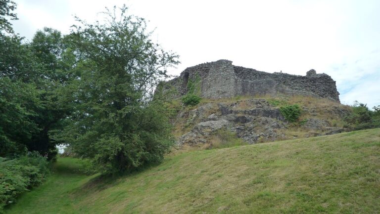
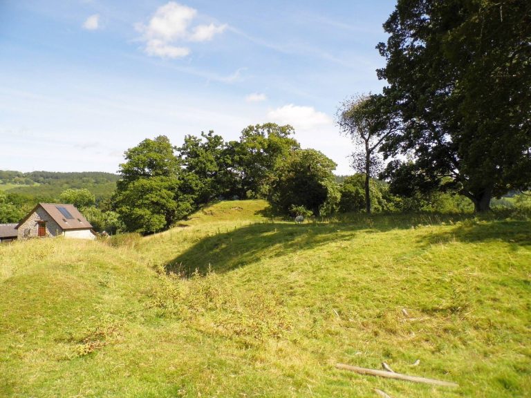
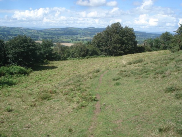
Ffridd Faldwyn is a multivallate contour hillfort, meaning that several lines of defenses follow the shape of the hill. The site covers about 5.2 hectares and measures roughly 503 by 254 metres. It stands higher than Montgomery Castle and overlooks the River Severn. The earthworks are now wooded and overgrown.
The first enclosure and its enlargement
The earliest enclosure occupied the hilltop in an elongated area about 170 by 80 metres, covering at least 1.2 hectares. Two rows of palisades, defensive fences of upright timber stakes, surrounded it, and a gateway opened to the south. A small mound within the enclosure may be a Bronze Age burial mound; traces of earlier Neolithic occupation occur beneath the southern gateway. The enclosure was later altered with an earth bank faced and supported by timber, accompanied by two ditches. Its southern entrance had a bridge and a barbican, an outer defense protecting a gateway. The timber framework was built in box-like sections, and the enclosure was extended northwest. Rectangular structures supported on four posts are interpreted as frames for wooden granaries. Excavation recovered one fragment of Iron Age pottery.
The expanded fort and its defenses
A later enclosure measured about 300 by 200 metres and covered 4.4 hectares, taking in much of the northwestern slope toward the Severn. Its defenses included ramparts reinforced with timber and a stone-faced bank with a ditch about six metres wide, enclosing roughly four hectares. The ramparts still reach three to eight metres in height in places. A large attached enclosure beside the southwest gateway may have served as a barbican. In 1776, Pennant described four large ditches guarding the approach, two or three entrances toward the main fort and two or three ditches crossing the hill. He also noted that the steep slope protected one end.