Falkenstein Castle: A Medieval Route Fortress in Germany
Site at a Glance
- Rating
- 4.4
- Popularity
- Low
- Country
- Germany
- Primary era
- Medieval
- Eras represented
- Medieval
- Civilizations
- Holy Roman Empire
- Site type
- Military
- Remains
- Castle
On this page11 sections
History
Falkenstein Castle is a ruined medieval hill castle in Germany, near Freiburg im Breisgau in the present-day municipality of Buchenbach. Also called Alt-Falkenstein, it was probably built around 1200 by a Zähringen ministerial family, a service noble family that performed military and administrative duties for a higher lord. An earlier origin in the early twelfth century or around 1150 has been proposed, but archaeological evidence establishes that a castle existed by 1230 at the latest.
The Falkenstein Family and the Route
The Falkensteins probably originated in the Wittental area from the lords of Weiler and Blankenberg. They first appear as lords of Falkenstein between 1137 and 1148 and later became one of the important aristocratic families of the Breisgau. Their castle stood on a steep elevation at the lower entrance to the Höllental, then known as the Falkensteige.
Falkenstein Castle was intended to protect a route connecting the Breisgau with the Baar region and Lake Constance. The Falkensteige bypassed the difficult Höllental gorge and divided toward Breitnau and Nessellachen, or toward St. Oswald and Steig. The valley took the name Falkensteiner Tal from the family and castle, while the name Höllental developed later.
The Falkenstein lordship soon extended up the valley to Hinterzarten and Titisee. Other castles associated with the family included Falkenbühl Castle, Birkenreute or Bickenreute near Kirchzarten, and Bubenstein Castle, also known as New Falkenstein. The family gained substantial income from tolls on the route. This revenue declined after a route through the Wagensteig Valley was established between 1310 and 1379.
Conflict and Destruction
A later tradition portrays members of the family as increasingly acting like robber knights, attacking travellers as the economic position of the lower nobility weakened in the late fourteenth century. During the conflict between an aristocratic coalition led by Count Eberhard II of Württemberg and the Swabian League, an alliance of political forces in Swabia, Werner von Falkenstein blocked roads and plundered citizens of the League on his overlord’s orders.
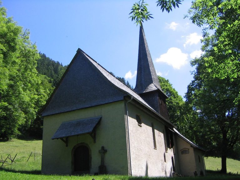
Freiburg attacked and destroyed Falkenstein Castle on 6 December 1388. The destruction has traditionally been linked to the family’s attacks on travellers, although another interpretation connects it with Freiburg’s pursuit of greater political power. The castle chapel apparently survived the destruction. It was first recorded in 1460 as St. Nicholas’ Chapel and was moved into the valley beside the Höllenbach, now called the Rotbach, in 1606.
A local legend gives the conflict a more dramatic explanation. It tells of the abduction of a pregnant woman and her husband. According to the story, she lost her child and her husband was pushed from the rock into the valley. After her release, she supposedly swore revenge and encouraged Freiburg’s citizens to attack and destroy the castle.
Remains
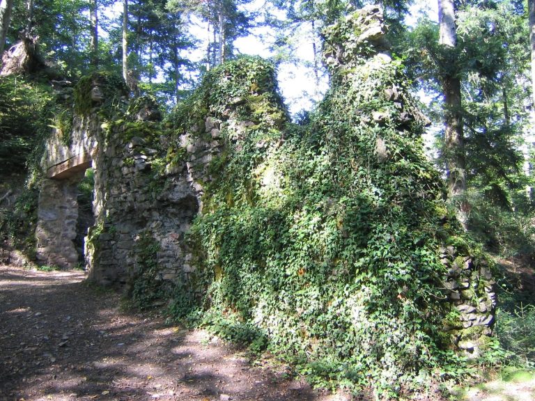
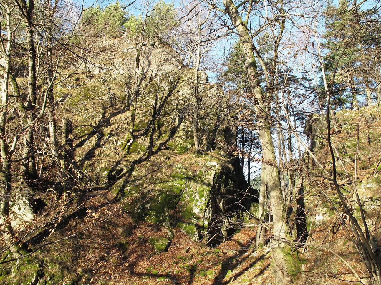
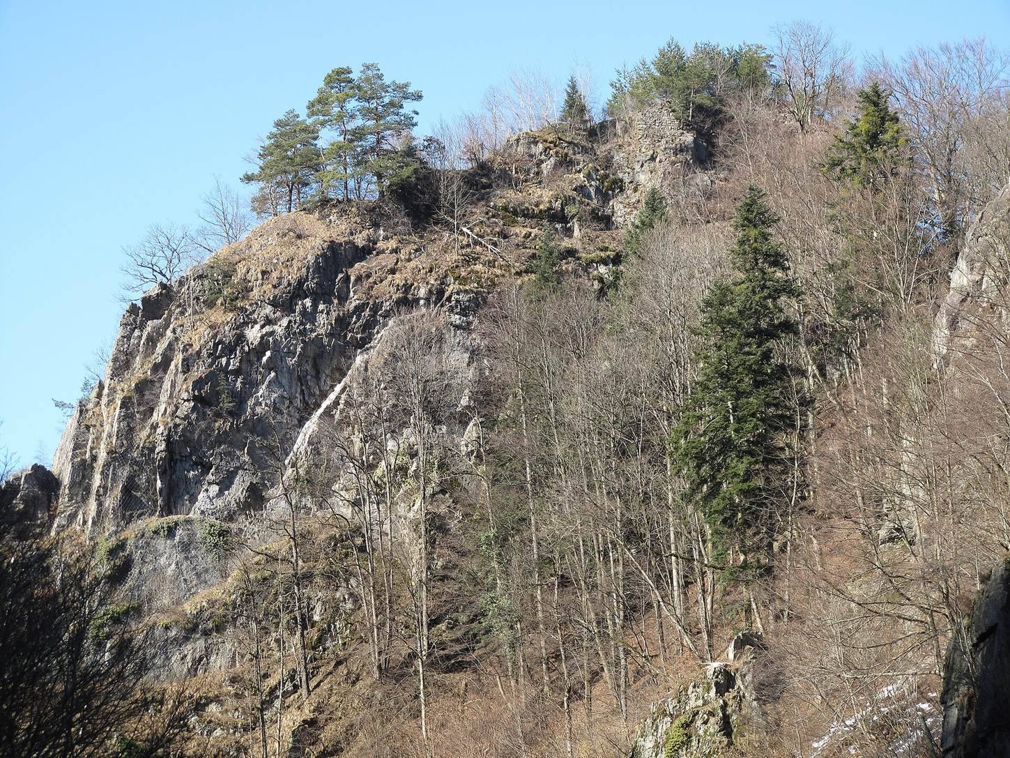
Falkenstein Castle occupied a steep rocky crag at 617.6 metres above sea level, in the triangle formed by the entrance to the Höllental, the Lower Höllental, and the Engenbach Valley. The irregular site rises through four levels. Only scattered wall remains survive, and the ruin is among the least well-preserved castle sites in the Breisgau.
Wards and Defenses
Lower and Middle Wards
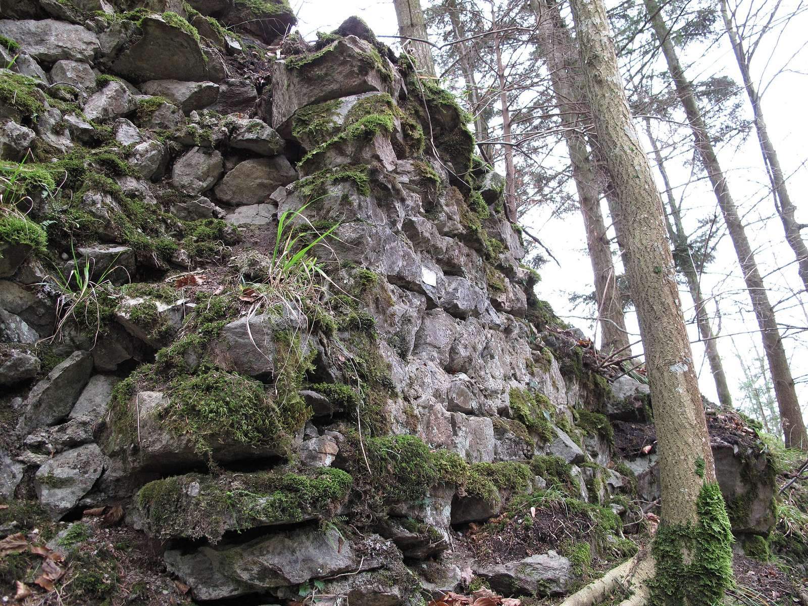
The lower ward extended from the southwestern side of the castle rock toward and along its northern flank. Fragmented walls remain as much as 6 metres high and 3 metres thick, together with massive sections arranged in a staggered form. The presumed entrance area and castle gate lay above the Engenbach Valley, while a present access point is situated at the western tip.
A neck ditch, a defensive cut across a narrow ridge, separates the lower ward from the higher ground to the northeast. It is about 20 metres long, 4 to 6 metres wide, and up to 12 metres deep. Above the lower ward, the small middle ward occupied a rock step approximately 6 metres high and extended northeastward to a point above the ditch.
Upper Ward
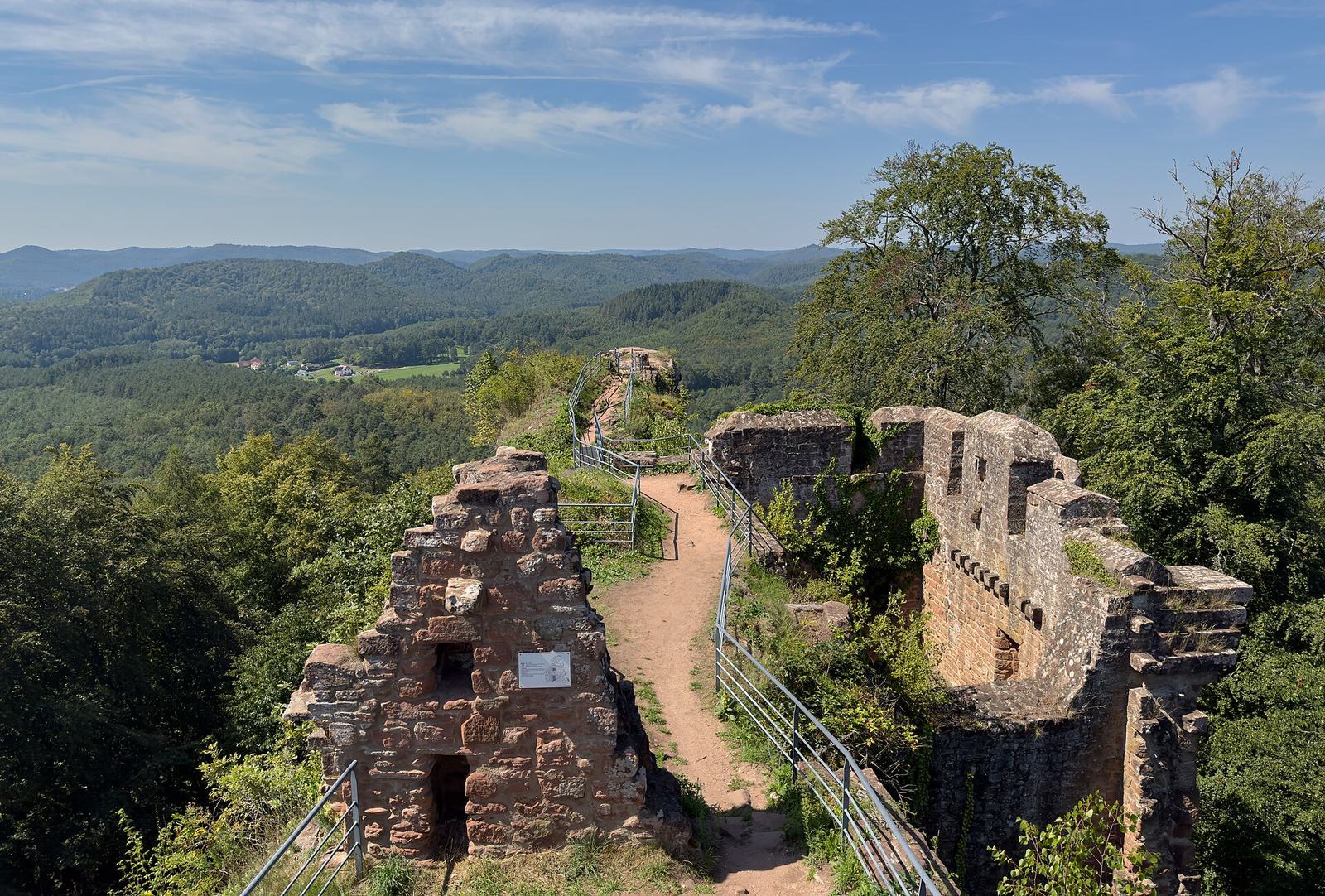
The upper, or inner, ward stood on an elongated rocky ridge that rose from southwest to northeast. It measured up to 55 metres in length and between 12 and 16 metres in width. Larger wall sections survive at its southern and southwestern end. A tooth-like remnant on the southeastern cliff edge, in the middle part of the castle, can be seen from the Höllental when approaching from Hirschsprung.
Individual Structures
Kitchen Wall
A wall facing the valley is approximately 10 metres long and 3 metres high. It is believed to belong to the castle kitchen and forms one of the larger surviving sections at the southern or southwestern end of the upper ward.
Chapel Remnant
Another wall remnant measures about 6 metres wide and 2.5 metres high and may mark the site of the castle chapel. The chapel continued after the castle’s destruction and was later transferred to the valley, where it became associated with the Höllenbach, now known as the Rotbach.
Probable Keep
At the northeastern end of the castle rock are the remains of a roughly square structure measuring about 9 by 9 metres. Its elevated position suggests that it was probably the former keep, the principal defensive tower of a medieval German castle and an elevated refuge and observation point.