Emirzeli: An Ancient Town of the Kingdom of Olba
Site at a Glance
- Popularity
- Medium
- Country
- Turkey
- Primary era
- Medieval
- Eras represented
- Classical, Medieval
- Civilizations
- Byzantine, Roman
- Site type
- City
On this page17 sections
History
A town in the kingdom of Olba
Emirzeli is an ancient settlement at Karaahmetli in Türkiye, where it became an important town in the Hellenistic kingdom of Olba, an ancient kingdom in Cilicia, the historical region of southeastern Anatolia. The Hellenistic period followed the conquests of Alexander the Great. Emirzeli lay on an overland route linking coastal settlements, including Elaiussa Sebaste, with inland communities and Olba at Uzuncaburç.
Roman and Byzantine periods
The town later came under Roman rule, and people continued to live there during the Roman and Early Byzantine periods. The Byzantine period refers to the history of the eastern Roman Empire. Emirzeli was eventually abandoned after Arab control spread through mountainous Cilicia.
Abandonment and study
During the Ottoman period, a Turkmen tribe founded Karaahmetli village east of the ruins. Detailed study of Emirzeli began in the 1970s, when Semavi Eyice examined it as part of an inventory of Byzantine remains in the Silifke region; architect I. Birol Alpay drew a plan. Friedrich Hild and Hansgerd Hellenkemper visited and described the settlement in 1983 and 1985. Serra Durugönül studied its Olbian tower in greater detail in 1998, and Ayşe Aydın focused on Church II in a 1999 dissertation.
Aydın suggested that Church II may have served pilgrims. She proposed that its right-hand side room could have held a relic, with the building’s arrangement allowing visitors to enter through the main entrance, pass the relic, and leave by either of two routes. The unusual rooms beside and behind the apse have few parallels in Cilicia and are also known in Syria. The Church of Thekla at the Ayatekla sanctuary near Silifke, a pilgrimage destination in the fifth and sixth centuries, was proposed as a possible model.
Remains
Settlement and fortifications
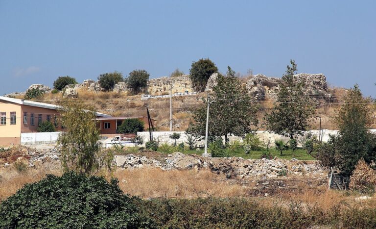
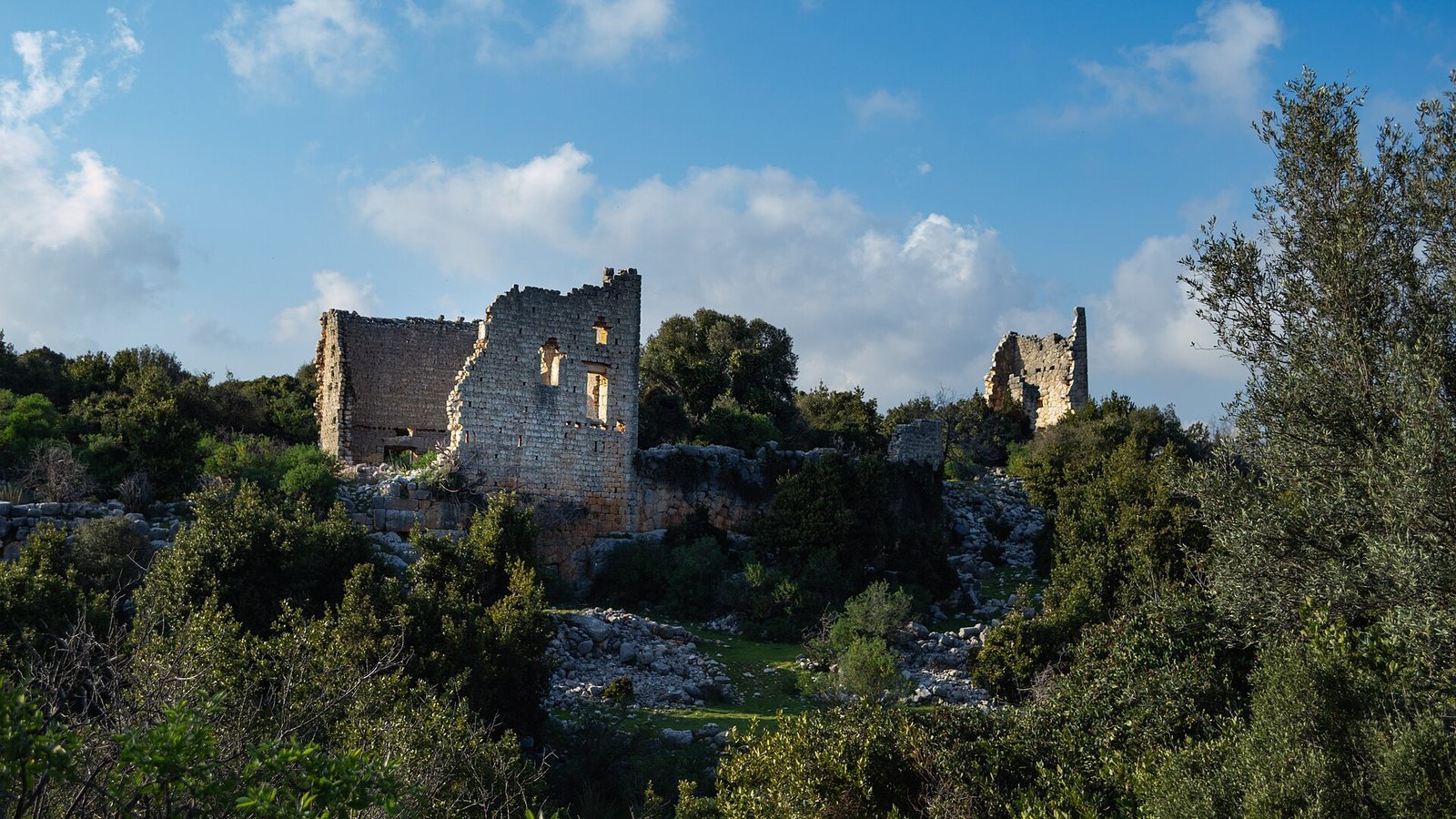
The settlement occupies a limestone ridge about 300 by 100 metres, aligned northeast to southwest, at an elevation of roughly 590 metres and about two kilometres west of Karaahmetli. Its main fortified area lies to the north, while three churches and a scattered burial ground occupy the slope to the south. The fortifications and oldest tower use large, irregular polygon-shaped blocks, while later buildings include small cut stones set around a mortar core.
The fortified area
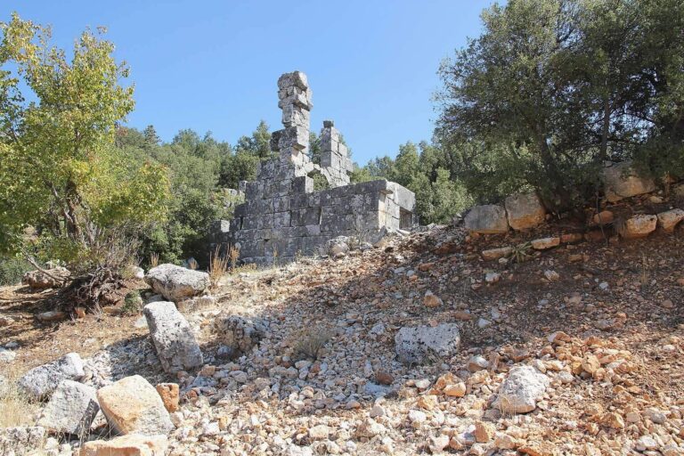
The northern enclosure measures about 105 by 60 metres. Its tower stood at the eastern wall and is the only part of the fortification still standing, although sections of defensive wall remain. Some stones from the defenses were probably reused in later buildings.
The tower
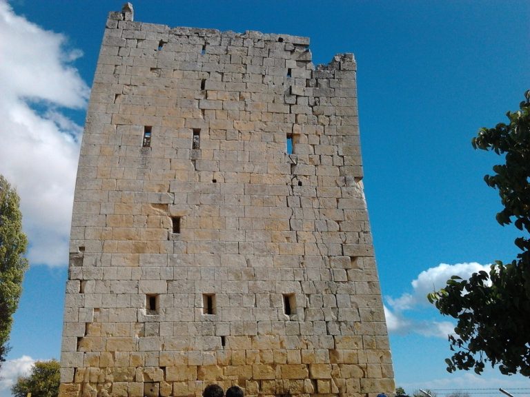
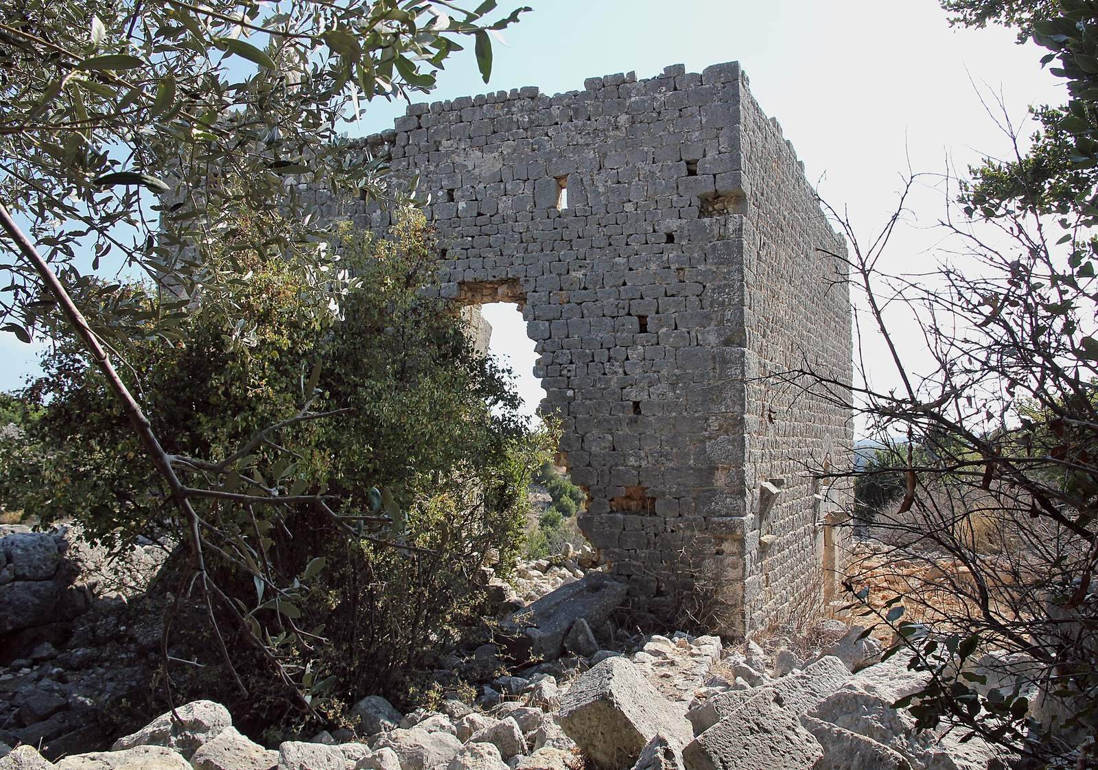
The settlement’s oldest structure is a multistorey tower on the eastern side of the ridge. Its construction technique places it around the late third to early second century BC. The exterior measures about 9.0 by 8.6 metres, and the tower stood between 11.0 and 13.6 metres high. Inside, the room measures 3.64 by 3.71 metres. A doorway and a window on the second storey face southwest, and sockets for floor beams show where the intermediate floors were supported. Each storey had narrow, vertical windows.
The tower’s upper courses were repaired in Late Roman–Byzantine times with smaller, regularly shaped blocks. Its southeast side has almost entirely collapsed. A relief of a phallus is carved on a lower corner block on that side. This mark belongs to a group of symbols associated with Olba in the region and may indicate that the tower, and perhaps the settlement, lay within the influence of Olba’s priestly ruling house. Remains of a Hellenistic defensive wall extend northwest from the tower and continue southwest along the ridge.
Domestic buildings
Early Byzantine residence
About 60 metres south of the tower are the remains of a residence that stood at least two storeys high. Its entrance was on the northwest side. A medallion and cross, flanked by two peacocks, decorate the stone above the doorway. Inside, an arch divides the ground floor into two parts.
Columned courtyard
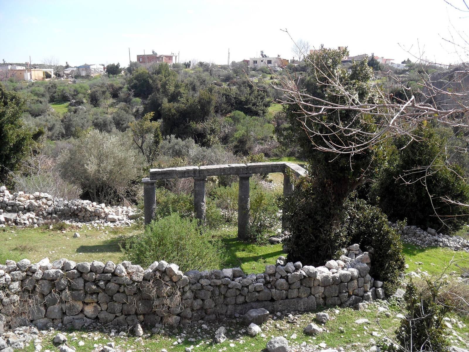
Below the residence, on the slope, are remains of a columned courtyard, probably part of a Roman house. Three smooth-shafted Doric columns, a Greek column style, survive along its short side and four along its long side. A horizontal stone beam above the columns also remains.
Other buildings
Scattered building ruins occur around the southwestern end and northwest side of the ridge. Some have polygon-shaped stonework and may date to the same period as the tower. Rock-cut niches, perhaps tombs, are also present. Building remains, a cistern, and stone doorway tops east of the tower have no established date.
Churches
Church I
The largest of the three churches probably had three aisles. Three doorways lead from its partly preserved southwest entrance vestibule into the main worship space. The vestibule had two storeys, a feature that may indicate galleries above the side aisles. The interior has not survived, but the main apse, a projecting rounded sanctuary end, still stands at the northeast end. Its well-preserved paired window has a central column topped by a carved block decorated with acanthus, a leafy plant motif. Rounded-ended side rooms flanked the main apse, and another room stood behind it.
Church II
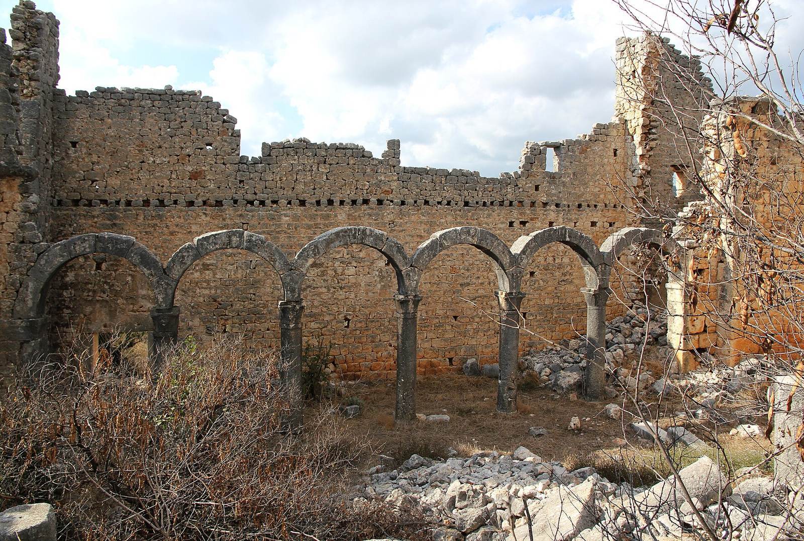
Church II is the best-preserved church. It is a three-aisled basilica, a long church with a central nave and side aisles, and includes an entrance vestibule. The building measures 14.3 by 29.3 metres, and its main worship space measures 13 by 15 metres. It stands on a plateau sloping northwest. Its walls, 55 to 60 centimetres thick, consist of two outer faces of small cut stones with a mortar-filled core. The southeast wall is the least well preserved.
The largely destroyed, two-storey entrance vestibule retains its northwest wall and had three entrances leading into the aisles. A triple-arched opening on its upper floor faced the central nave. Rows of columns and arches separate the side aisles from the nave. Each aisle is 3.0 metres wide, while the nave is 6.1 metres wide. The column tops carry carvings of eight large, undivided leaves. A recess in the first column of the nave, before the apse, suggests that a sanctuary screen may have stood there. The apse had a surrounding bench, and its front rested on capitals atop projecting wall supports.
Three windows in the northwest wall admitted light; the number in the southeast wall is unknown. An upper band of windows may also have lit the church. Beam sockets indicate galleries above the side aisles. The two-storey rooms beside and behind the apse project beyond it. The roughly rectangular rooms to its right and left are each divided by an arch and end northeast in a semicircular apse. Both connect through doorways to a further rectangular room behind the main apse, which opens outward through an arch. Part of a stairway to the gallery level survives in the southeast room. A raised threshold above the doorway from the right-hand room into the middle room indicates that the latter also had an upper floor. The right-hand room had two barred slit windows on the ground floor and a rectangular window above; the left-hand room had a ground-floor doorway and two rectangular upper windows.
Two fallen stone blocks on the church floor bear an inscription naming Georgios Paulos as a donor. The inscription does not establish whether he gave the entire church or a particular element, such as its sanctuary screen.
Church III
At the northeast end of the church group, Church III survives only in some doorway jambs. A drawing by Semavi Eyice reconstructs it as a three-aisled basilica with an entrance vestibule and projecting rooms beside its apse.
Burial ground
Near Church III, the burial ground contains sarcophagi from the Roman imperial period and rock-cut sarcophagi known as chamosoria.