Duncannon Fort: An Elizabethan Star Fort in Ireland


Site at a Glance
- Rating
- 4.5
- Popularity
- Low
- Country
- Ireland
- Primary era
- Early Modern
- External website
- Open
- Eras represented
- Medieval, Early Modern
- Civilizations
- English, Irish, Norman
- Site type
- Military
- Remains
- Fort
On this page9 sections
History
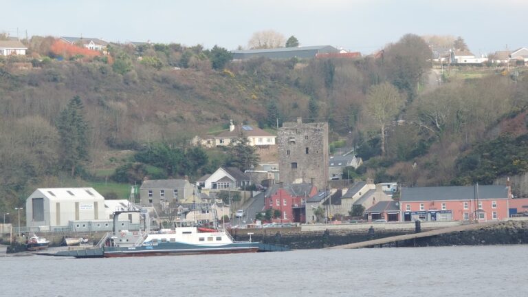
Duncannon Fort is a star fort in Ireland, located at Duncannon in County Wexford, where the peninsula reaches into the eastern part of Waterford Harbour. The present fortress was built by the Kingdom of Ireland in 1587–1588 under Queen Elizabeth I, whose government strengthened coastal defenses against the threat of invasion by the Spanish Armada. Its position controlled access to the Rivers Barrow, Nore, and Suir, known collectively as the Three Sisters.
Norman Origins and Elizabethan Reconstruction
The site had a military role before the present fortress was constructed. The Normans built a fort there in the twelfth century, while an earlier earthen fort may have been established by the Gaelic Irish. The Elizabethan rebuilding transformed this strategic position into a major artillery fortification intended to defend Waterford Harbour and its inland approaches.
The Confederate Wars and Cromwellian Campaign
Duncannon became a major stronghold during the Irish Confederate Wars, a period of armed conflict in Ireland. Laurence Esmonde, 1st Baron Esmonde, commanded the fort as its Royalist governor when Irish Catholic Confederate forces led by Thomas Preston, 1st Viscount Tara, laid siege to it between January and March 1645. Mortars were used in Ireland for the first time during this siege, which ended with the capture of Duncannon by Preston’s forces.
Oliver Cromwell failed to recapture the fort in 1649. Duncannon surrendered in 1650 after a blockade led by Henry Ireton, Cromwell’s commander and son-in-law. These operations placed the fortress within the wider struggle between Royalist, Confederate, and Parliamentarian forces for control of Ireland.
Stuart Retreat and Eighteenth-Century Use
Duncannon again entered national history in 1690. After the Battle of the Boyne, James II, the Stuart king of England and Ireland, fled to the fort before sailing from there to Kinsale on 3 July and continuing into exile in France. The place from which his boat departed became known as King James’ Hole. In September of the same year, William III stayed at Duncannon when bad weather delayed his return to England.
A lighthouse was built at the fort in 1774 and remains in use. Its construction added a continuing maritime function to a site whose earlier purpose had centered on artillery and the defense of the harbor entrance.
The 1798 Rebellion and Later Military History
During the 1798 Rebellion, Duncannon was one of the few places in County Wexford that did not come under the control of the United Irishmen. Under William Fawcett, the fort and town became a refuge for loyalists and troops escaping from southern Wexford. They were also used as a prison and execution site for rebels. This association made Duncannon notorious as the place where the Croppy Boy mentioned in the song “The Croppy Boy” was executed. A force sent from the fort to defend Wexford town was defeated at the Battle of Three Rocks.
The British Army continued to use Duncannon until the fort was handed over to the Irish National Army in 1922. It burned during the Irish Civil War later that year. The Army Reserve subsequently used it occasionally for summer camps. Wexford County Council received the fort in 1993 and later opened it as a museum. The council is its stated owner, and Duncannon is designated as a National Monument of Ireland under official reference number 668.
Remains
Star-Shaped Fortress and River Defenses
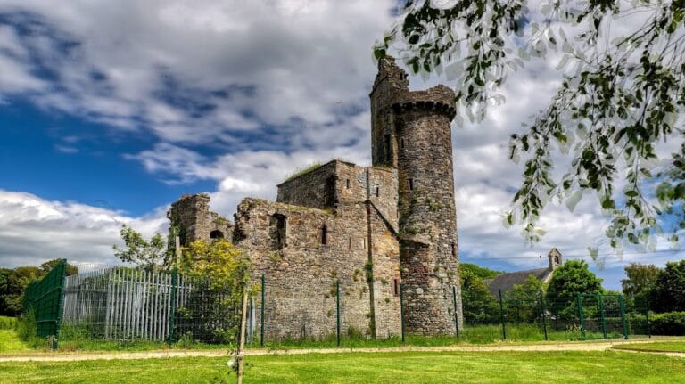
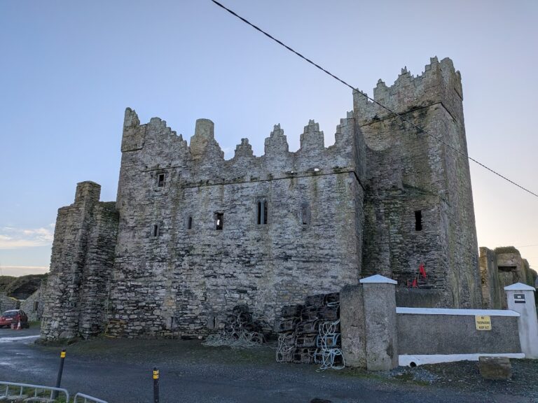
Duncannon Fort is a restored star fort constructed from Old Red Sandstone. Its angular design uses projecting points to allow defenders to cover the walls and surrounding ground with overlapping fire. The flanks held guns aimed upriver and downriver, while artillery batteries at the western end covered the entire inlet. Together, these positions used the fort’s peninsula setting to defend movement through Waterford Harbour and toward the Three Sisters.
Landward Front and Ditch
The landward defenses consisted of an angled redan, a defensive projection from the center of the front, along with a deep ditch and a medieval wall. Primitive caponiers, covered defensive passages projecting into the ditch, strengthened this vulnerable side of the fort. Each counterscarp gallery, a defensive passage along the outer slope of the ditch, had a sally port, or protected exit, through which the garrison could enter the ditch without being seen.
Eastern Wall and Lighthouse
Windmill Hill, a nearby elevation, provided a strong position from which an enemy could bombard the fort. In response to this threat, the English raised the eastern wall in 1606. The lighthouse built in 1774 remains part of the working site and continues the fort’s connection with navigation and harbor defense.
Nearby sites