Pointe de la Torche Dolmen: A Neolithic Burial Complex in France
Site at a Glance
- Popularity
- Medium
- Country
- France
- Primary era
- Stone Age
- Eras represented
- Stone Age, Modern
- Civilizations
- German
- Site type
- Burial
- Remains
- Burial Mound
On this page10 sections
History
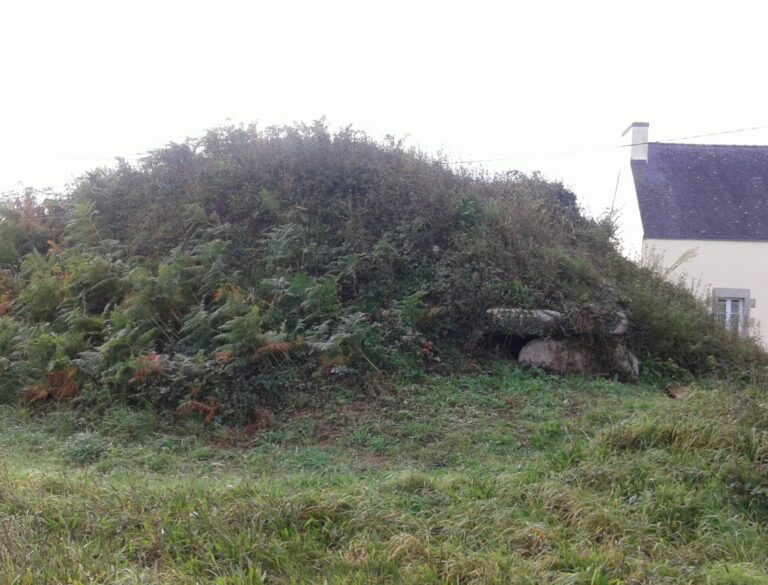
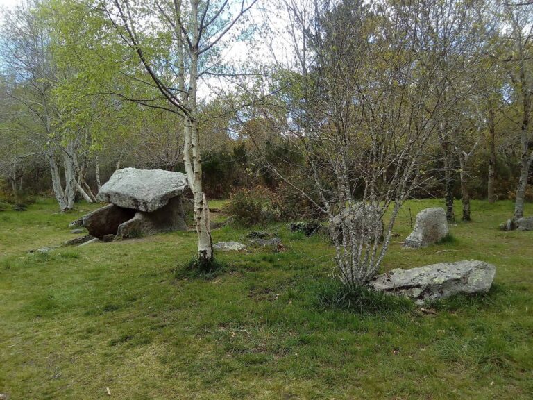
The Pointe de la Torche Dolmen is a prehistoric funerary complex on the coastal promontory at Plomeur, France. It comprises a Middle Neolithic dolmen, a large-stone tomb with a passage leading to a chamber, and a later Final Neolithic covered gallery, an elongated, roofed burial structure. The monuments belong to Brittany’s megalithic tradition, the building of monuments with large stones, and reflect different approaches to burial.
Mesolithic occupation and Neolithic tombs
The promontory had been occupied during the Final Mesolithic, a phase of the prehistoric period preceding the Neolithic. A shell deposit dated to 5640 to 5550 BCE provides evidence of this early activity. With sea levels then lower, the headland offered a vantage point over Audierne Bay. The site is also known as the tumulus of Beg an Dorchenn. This Breton name means ‘point of the cushion’ and refers to the promontory’s rounded shape. Archaeologists retain it because the French map name, Pointe de la Torche, is considered an inaccurate translation.
The tombs belong to different phases of Neolithic burial practice. Fifth-millennium BCE dolmens and their grave goods were associated with wealth and prestige, in a society marked by strong inequalities. Covered galleries of the late fourth and early third millennia BCE were more modest tombs, holding many bodies but relatively few grave goods.
Archaeological investigation and later history
Around 1881, Paul du Chatellier excavated the site. He reported that a coastguard observation post had already severely damaged the mound. Two passages had been exposed at the summit, each with only a roof stone remaining, and both had been disturbed. Du Chatellier apparently did not recognize the dolmen’s side chambers.
In 1919, Charles Bénard Le Pontois proposed that the site might have been a center from which builders of nearby megaliths spread. He connected this idea with the 600 to 700 standing stones once arranged in four rows at Lestriguiou, about 3 km away. He believed their alignments pointed directly toward the mound’s summit.
Pierre-Roland Giot’s 1946 excavation established that two monuments from different periods occupied the summit: a passage dolmen with side chambers and a covered gallery. The dolmen’s earlier age was not yet understood. A 1959 carbon-14 date for the central dolmen on Carn Island, then the first European passage dolmen dated by this method, helped archaeologists reconsider the chronology of megalithic tombs. Human remains from Beg an Dorchenn showed that its dolmen had been used earlier still. Giot considered the site important for understanding prehistoric chronology and the boundaries between cultural influences in Brittany.
German forces damaged the site during the Second World War by constructing fortified positions. The peninsula was designated a historic monument in 1960 and became part of the classified natural site of Audierne Bay in 1989.
Remains
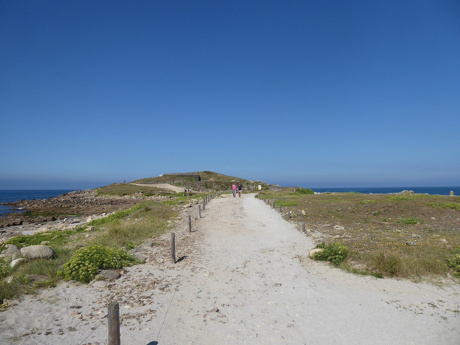
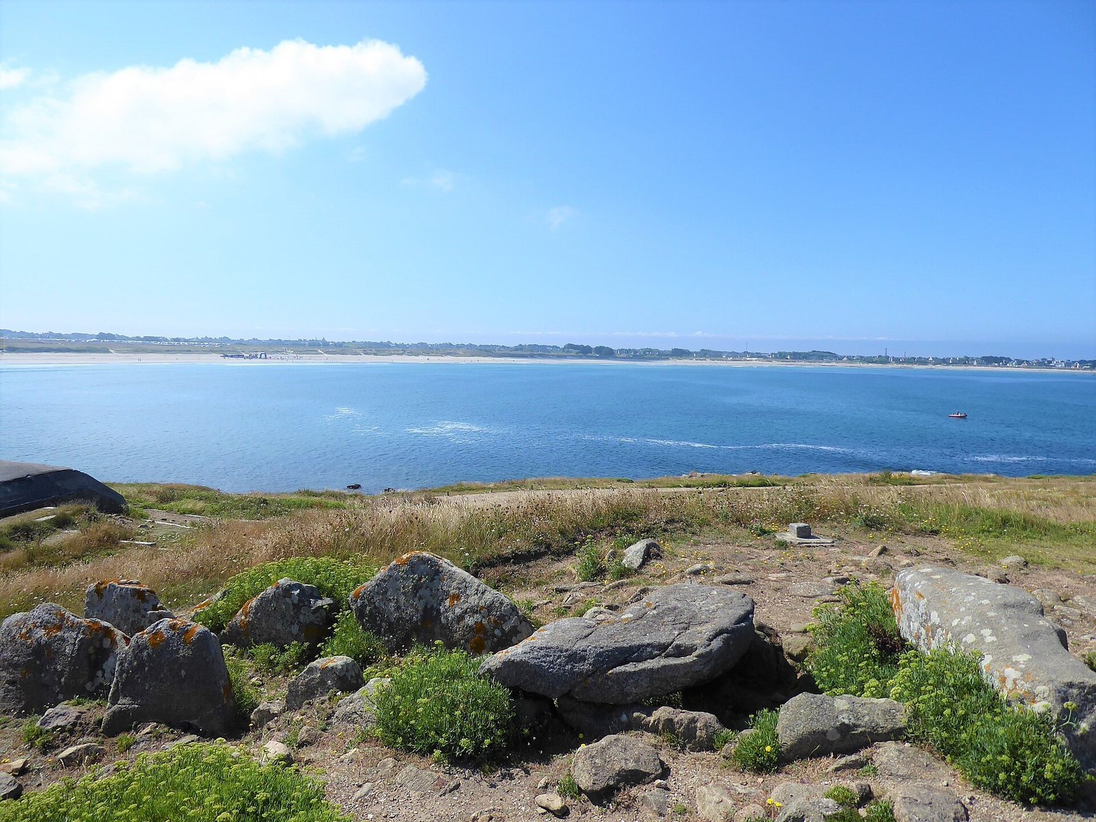
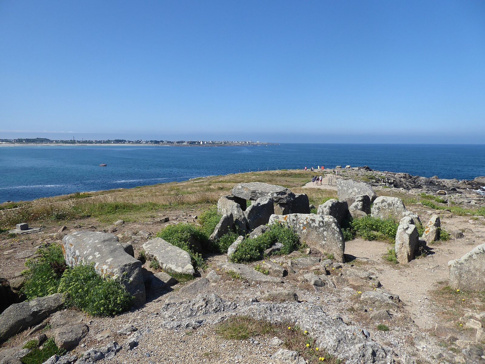
The complex occupies a natural promontory within a peninsula about 500 m long and 100 m wide, between Audierne Bay to the north and the Pors Carn inlet to the south. The mound reaches about 16 m above sea level. Its two burial monuments occupy different parts of a pair of stone mounds built against a rounded natural rock outcrop. The passage dolmen sits atop the lower mound, while the covered gallery extends eastward along its slope; both were enclosed within the upper mound.
The promontory and cairns
The original mound was about 40 m across and incorporates the natural outcrop rather than consisting entirely of built material. A thin, black, sandy ash layer covers parts of the uneven bedrock, filling hollows and partly smoothing its surface. Usually only a few centimetres thick, it reaches a few decimetres in places and is the surviving residue of a substantial shell deposit that once covered most of the peninsula. The lower cairn, a mound of stones, consists of blocks and pebbles mixed with imported sand and stands 0.5 to 1 m high. It extends down the eastern slope nearly three times farther than the upper cairn and covers the main shell deposit. The upper cairn, made of similar materials, is 1 to 1.5 m high and covers only the highest part of the lower mound. A further sand layer separates them in some places. The upper mound followed the outcrop’s rounded north-to-south profile and once covered the dolmen.
Middle Neolithic passage dolmen
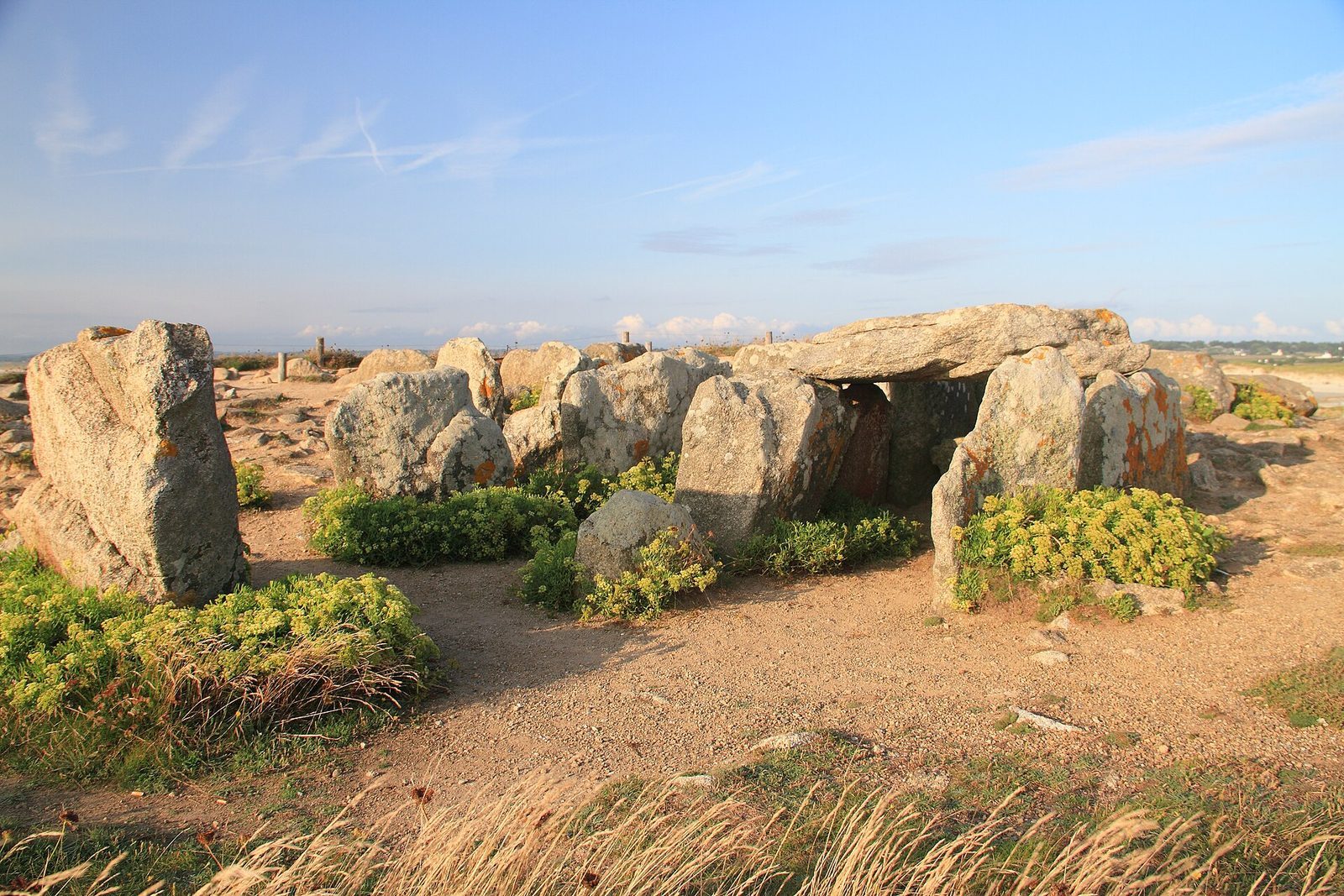
The dolmen measures about 10 m by 5 m and is oriented at roughly 81 degrees. It rests on the lower cairn rather than directly on bedrock. Its upright support slabs approach 2 m in height, with their tops forming a level plane. Giot described a passage and a central chamber flanked by two trapezoidal side chambers. Jean L’Helgouach later interpreted the plan differently, as a roughly octagonal chamber with two small trapezoidal spaces formed by an extension of the passage.
The passage is about 3 m long and narrower than the central chamber. At its junction with the covered gallery, its first two support slabs angle slightly northward. At the 1946 excavation, 23 supports remained, with one fallen; one roof stone still covered the passage, while two had fallen into the southern chamber. The dolmen’s fill includes earth-mixed sand and stone blocks, with gravel, raw black clay and ash beneath. An incomplete floor of small, flat stones lies at the lowest level of the passage and central chamber.
Final Neolithic covered gallery
The covered gallery continues eastward from the dolmen’s passage. It is a straight structure about 8 m long, oriented at roughly 102 degrees, rather than following the dolmen’s 81-degree alignment. Its support stones step down the eastern slope, giving their tops an incline instead of a level line. At the 1946 excavation, 12 supports remained, with two fallen, and one roof stone was still in place. Sand and stone blocks fill the gallery. Whether its construction disturbed the underlying lower cairn remains unresolved.
Burials and excavated objects
Human remains
Two skeletons were buried in the eastern part of the lower cairn, outside the principal tomb mound, with a few pottery fragments. The dolmen contained scattered, mixed bone fragments from several individuals, generally adults; some were dated to 4500 to 4090 BCE. The gallery held nearly complete individuals, all adults and male, with some remains dated to 2884 to 2500 BCE. The eastern burials and gallery remains were considered anthropologically similar.
Giot proposed that the eastern area may have served as an initial burial place. In his interpretation, bodies were left until only bones held together by ligaments remained, then transferred to the gallery for collective burial. He noted a similar association between a burial area without grave goods and a mound at the Rosmeur plateau in Penmarc’h. To explain the scattered bones in the dolmen and the more complete individuals in the gallery, Giot considered two possibilities: the gallery’s builders may have looted the dolmen without reusing it, or they may have followed different rites that kept the dead identifiable until they were moved.
Flint, pottery and ornaments
The lower cairn contained many flint flakes, a few bipolar hammerstones used to strike flint cores against an anvil, and a small quantity of coarse pottery. Flint flakes and numerous pottery sherds of varied types came from the upper cairn. The dolmen’s passage and central chamber yielded flint flakes, gold wire and pottery. The northern chamber contained many flint flakes, a fine knife and a frontlet, an ornament worn across the forehead.
The covered gallery yielded a few fragments of thick, coarse pottery. Most finds recovered in the successive excavations are displayed at the Museum of Prehistory of Finistère at Pors Carn, in Penmarc’h.